This climb can be dangerous and is not recommended for anyone who does not have sufficient experience and equipment.
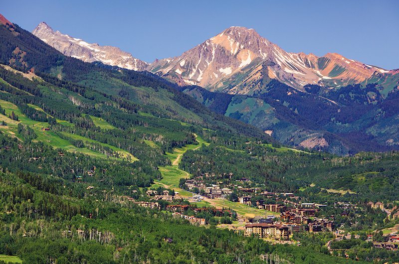
Mt. Daly prominently stands above the town of Snowmass Village, CO. From any way you drive into town, you can’t miss its looming presence, despite standing at “only” 13,300 feet (small in comparison to some of the monstrous Elk Range 14ers). I climbed Daly for the first time last August and have been itching to get back ever since.
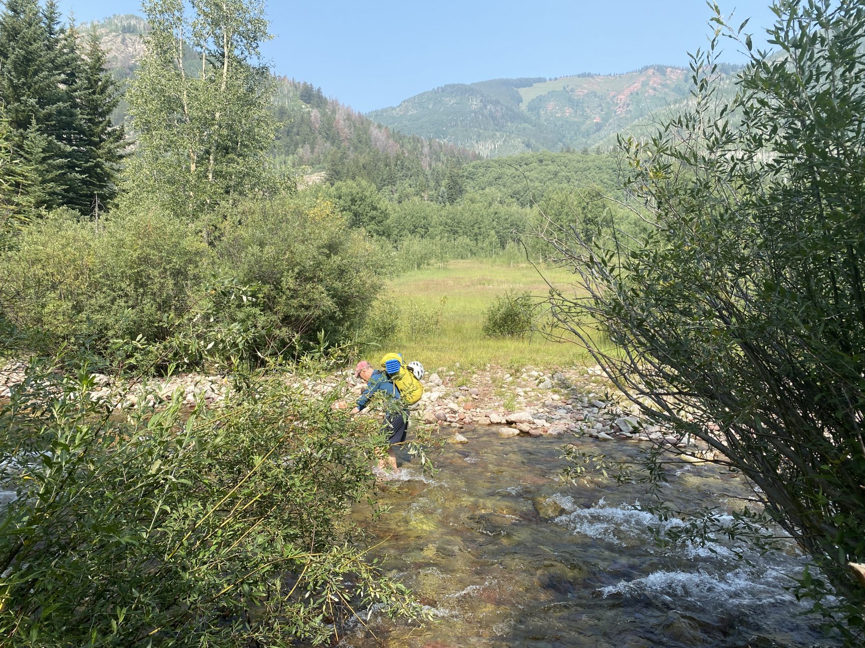
We began our climb on Monday, August 10, at about 9 am. The first mile and a half or so meander along a flat, heavily traveled hiking trail, the Snowmass Creek trail. Eventually, the trail splits in two, and there’s a turnoff for the West Snowmass Creek trail right near Snowmass Creek. To cross the creek, we took off our shoes and waded through knee-deep water to the other shore, where we dried our feet, put on our socks and shoes again, and got going.
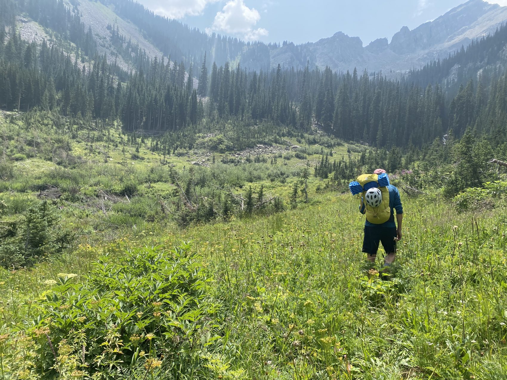
The trail started nice and flat through but quickly gained a significant amount of elevation. The trail zigged and zagged its way up a steep slope through some Aspen trees before flattening out on a moderately sized bench. Last year, we took a left and traveled off-trail straight up the West Snowmass Creek drainage, which was slow, shrubby, and miserable. On the way back, we found a nice animal/climber’s trail through the woods just west of the creek that sped things up significantly. We decided to take that same trail this trip.
After turning off the trail and merging onto the path through the woods, we continued for quite some time before finally emerging out into a meadow. This meadow used to be forest, but it was demolished and completely swept away by the historic March 2019 Colorado avalanche cycle.
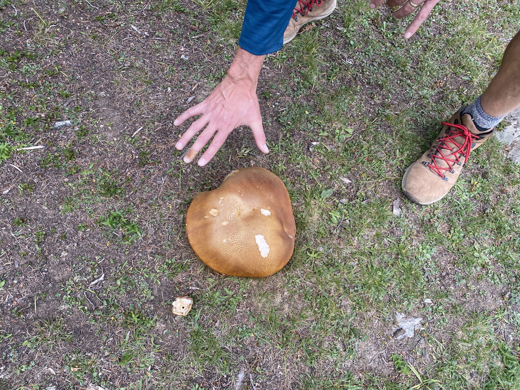
We then crossed the creek, where the climber’s trail picked back up again on the other side. For the next hour or so, the trail meandered its way incredibly steeply up the drainage. Thankfully, we had some shade, which brought sweet relief from the blazing August sun. In the woods through this section, there were stunning wildflowers and absolutely enormous mushrooms, maybe 6-8 inches wide!
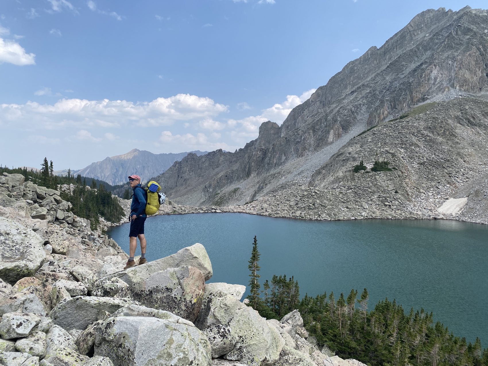
As we approached the treeline, the shade was replaced by the sun, and the dirt was replaced by huge boulders. Anyone who has been mountaineering before knows that boulders are often truly miserable to travel over. 800 vertical feet later, we crested onto the shore of Moon Lake, which is a beautiful alpine lake situated in a cirque composed of Daly, Capitol, and Clark peaks.
Last year, we found an awesome campsite about 3/4 of a mile past the lake. We continued to hop over man-eating boulders for 20 or so more minutes before arriving at our little slice of heaven: a small ring of dirt in a field of grasses and plants. We set down our sleeping bags and pads and trekked about two minutes over to a nearby creek fed from adjacent snowfields above it.
It was only about 3 pm, so for the rest of the afternoon, we chilled out in the sun near the creek, enjoying the spectacular 360-degree view. We ate, soaked our feet in the ice-cold water, and discussed the route for the next day. As soon as the sun set at about 8 pm, we got in our sleeping bags and fell asleep.
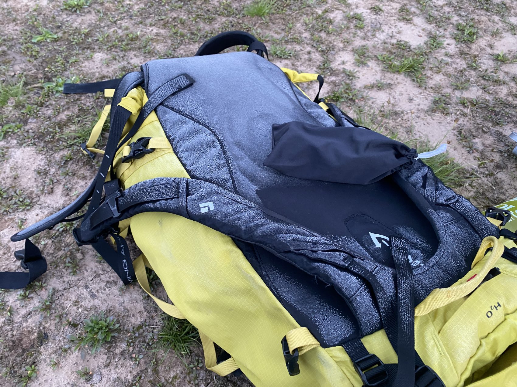
The next morning, we both awoke fairly cold at about 6 am. There was a thin layer of frost on our packs and sleeping bags, so it must have gotten fairly cold overnight!
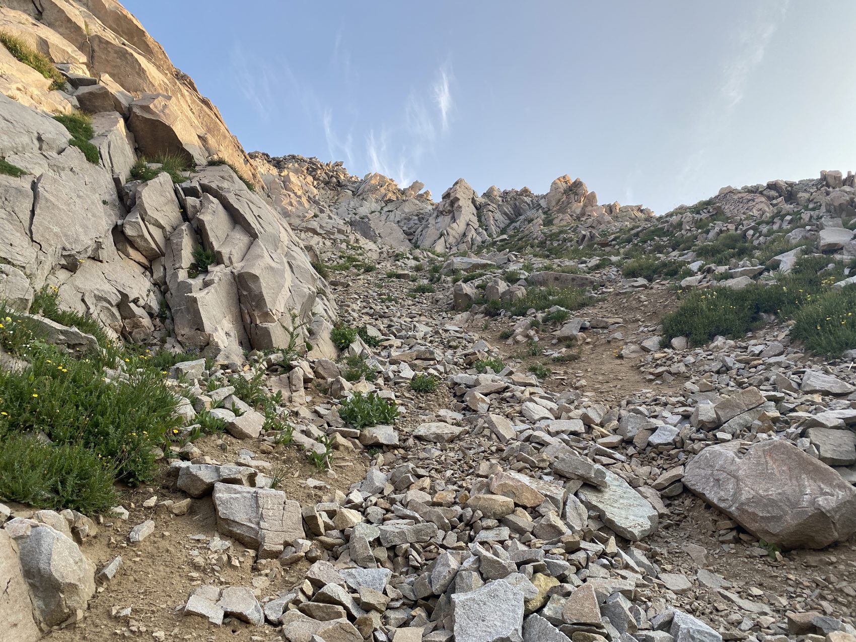
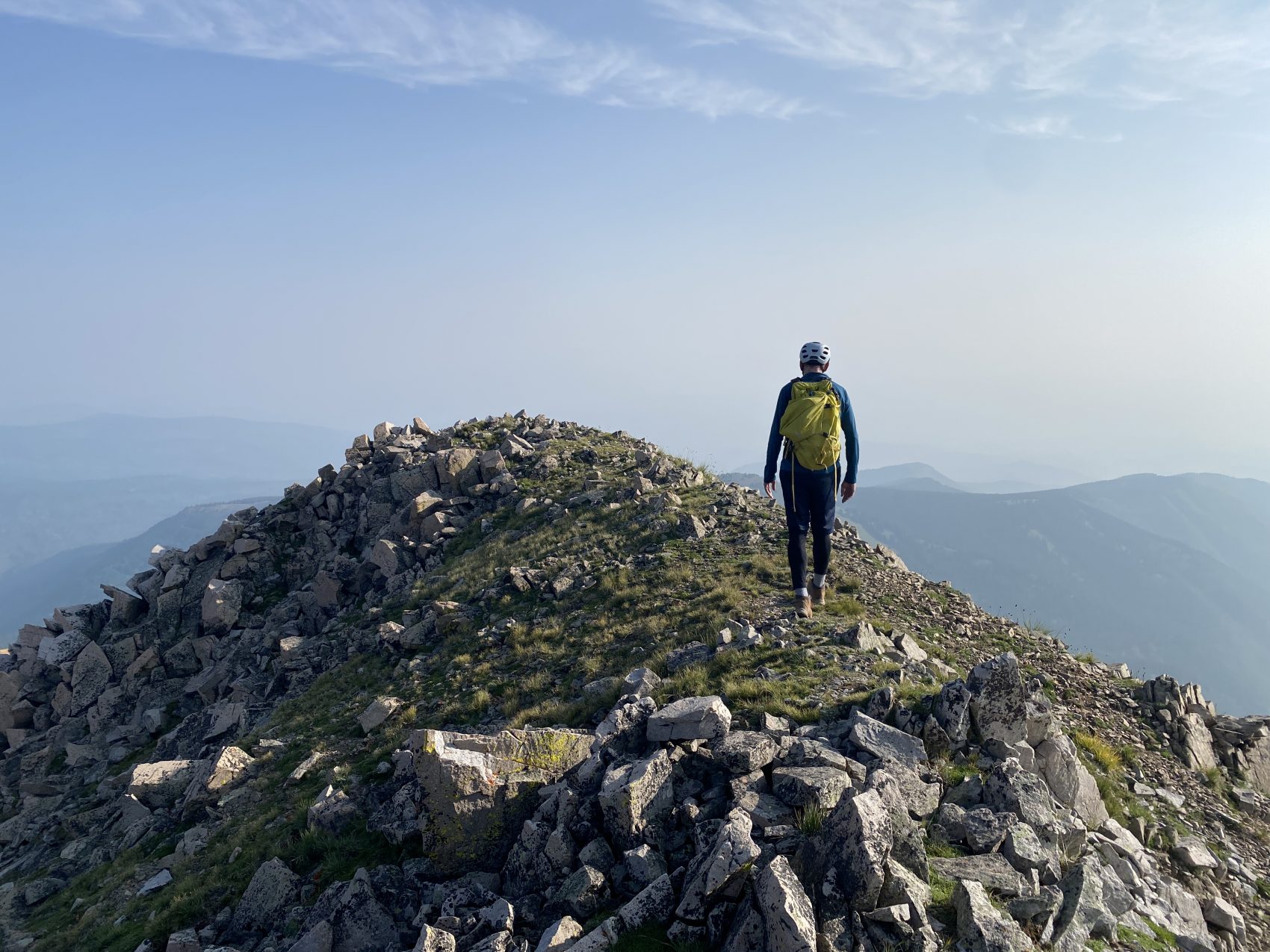
We quickly packed our bags, filled up waters at the creek, and began our ascent of Daly’s south ridge at around 6:45 am. The first step was to actually gain the ridge itself, which proved to be more difficult than one might think. The ascent to the ridge is ridiculously steep, gaining 700 vertical feet in about one-fifth of a mile. The final hundred feet or so of the climb was a loose, rocky chute that we ascended one at a time to minimize rockfall hazard. The footing was ridiculously loose, and we knocked down several large rocks on the way up. One slip up in here could be fatal.
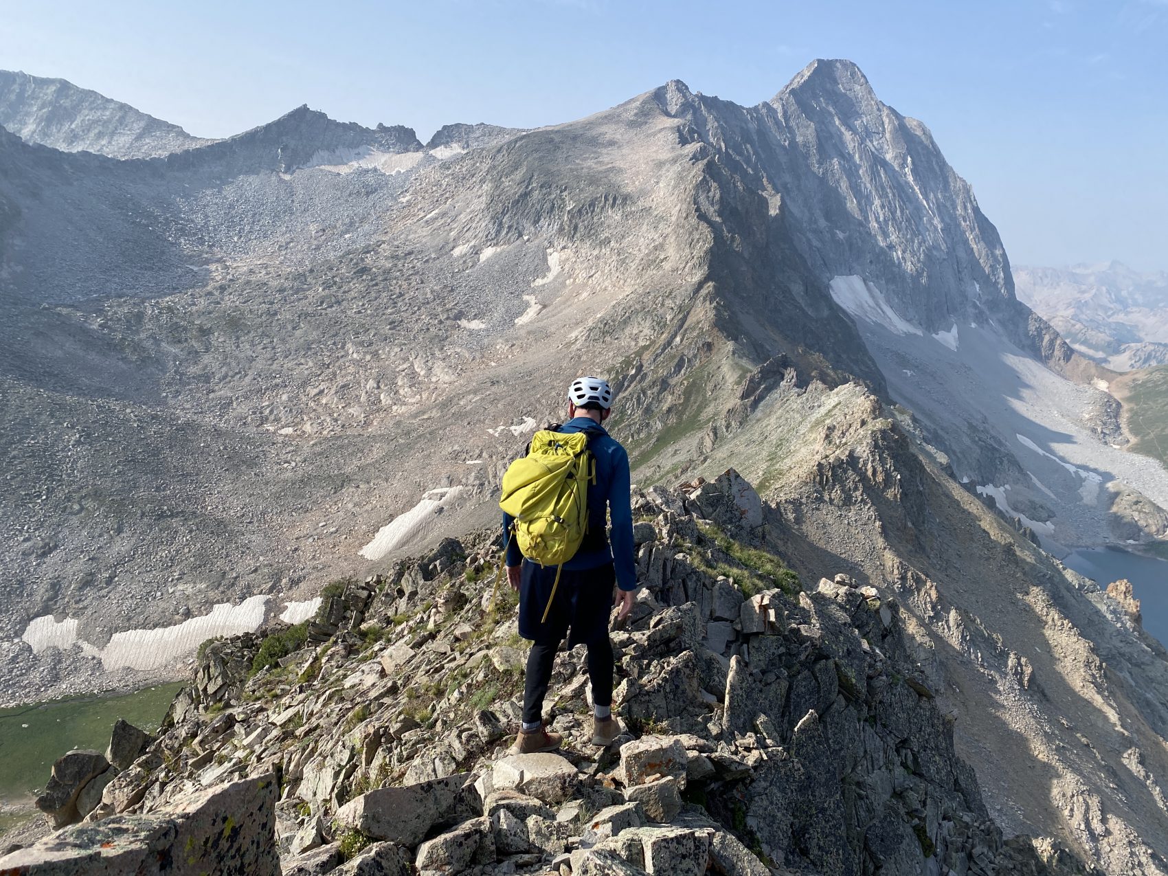
Once we made it to the ridge, we had to do quite a bit of route finding as we made our way up it. Daly’s south ridge has a half-dozen or so buttes protruding from it, most of which are impassable by going straight over the top of them. Most of the time, you have to go around the east or west side of the features to work around them. However, when doing so, you’re traversing faces that drop 2,000+ vertical feet, so we had to be extremely cautious, particularly with the loose, crummy rock that careened downward if you weight it the wrong way.
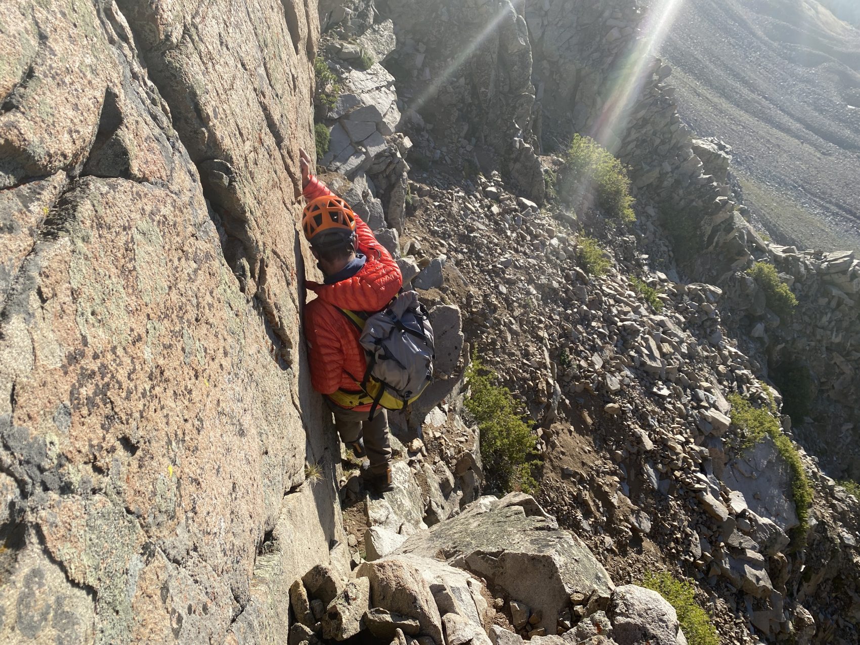
The final 300 vertical feet or so of the ridge is fairly easy since most of the buttes are on the lower part of the ascent. However, even up here, the rock is horrible, and the fall exposure is still quite large, so we were still remaining cautious all the way to the summit.
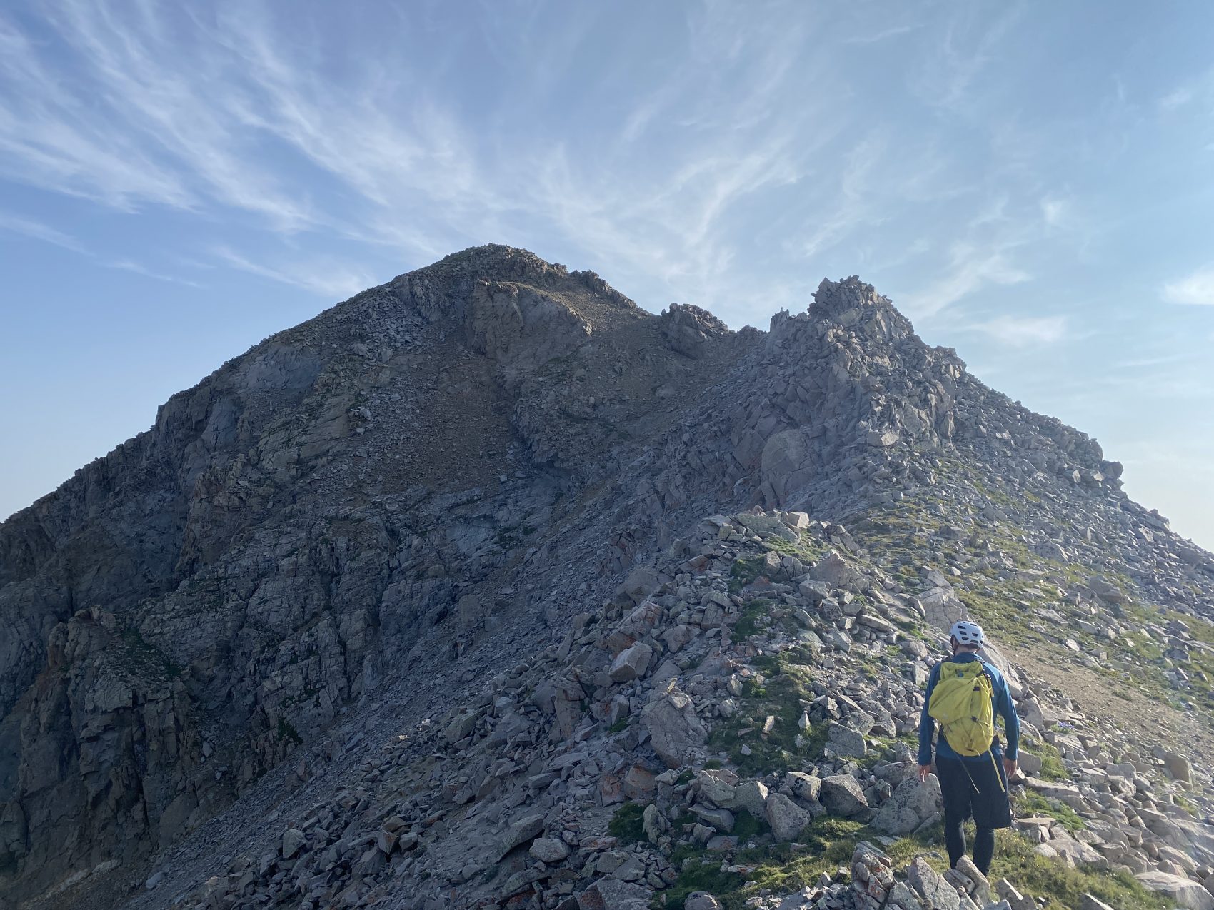
At about 8:30 am, we topped out on Daly’s summit. Unfortunately, thick smoke from the California wildfires made the view quite hazy, though we could still make out prominent peaks and landmarks through the haze. After spending about 15 minutes on the summit, we turned around and began our descent.
The descent was just barely faster than the ascent since we had to continue to remain diligent on the loose rock with the thousand-plus foot drop to either side. One slip on the ridge would be almost certain death. We descended a grassier gully than the rocky scramble that we gained the ridge via, which decreased our loose rock and rockfall hazards considerably. We worked our way down the grassy and rocky slopes of Daly’s flanks before arriving back at camp.
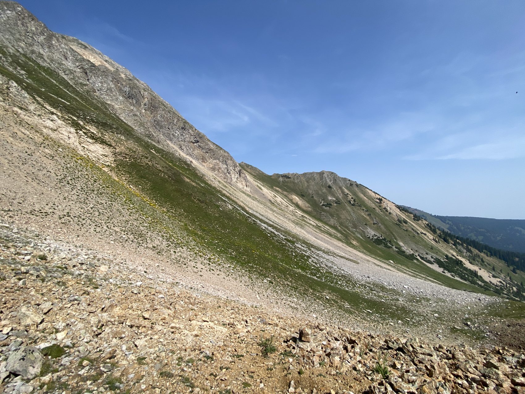
At camp, we packed up, filled waters, and talked about a potential “high route” to exit on. From the summit, we spotted a saddle that might allow us to traverse Daly’s east face and stay high above the West Snowmass Creek drainage until we regained the maintained trail, where we could move much, much faster. We decided to give it a try, so rather than descending the malicious boulders to the east, we trekked over smaller scree fields to our north towards the saddle.
When we finally reached that saddle, we spotted a small animal/climber’s trail that descended into the basin beneath Daly’s looming east face. We hopped on the path and began traversing to the north towards the other side of the drainage. The trail started pretty clear and nice but quickly faded until it eventually disappeared some way across the face. We were forced to travel “off-trail” across loose scree and crumbly dirt, making for slow-going and tiring travel. Additionally, falling on this traverse would most definitely have been bad news.
Finally, we wrapped around the northeast ridge of Mt. Daly, which steeply dropped down to some drainages and grassy meadows that gradually descended towards the West Snowmass Creek trail. We found some nice paths through the woods that made travel down to and through the meadows fairly fast and easy. Finally, we were reunited with the maintained trail, which was like a highway in comparison to what we had spent the last day or so traveling on!
We followed the trail back down to the creek crossing and finally back to the car, arriving at about 2 pm. According to my Strava recording, the total mileage was about 17 miles with 6,800 vertical feet of elevation gain. Overall, it was a great way to spend a few smoky August days, as the elevation definitely got us above the worst of it.