Sunday, April 19, would have been closing day at Alta Ski Area in Utah. Sunday was also the last day that the Utah Avalanche Center issued an avalanche forecast for the 2020/21 season. But as their avalanche forecasting service gets discontinued until next year, the UAC reminds backcountry users to be careful when skiing the backcountry at this time.
- RELATED: Utah Avalanche Center: Uncertainty, Risk, & Decision Making: Before, During, and After COVID-19
There is still snow which means that there is still potential for avalanches. Upon issuing its final forecast for the season, the UAC gave backcountry skiers the run-down as to what general avalanche hazards they should be on the lookout for during springtime backcountry conditions. The UAC also gave a huge thank you to everyone in a video at the end of this article, which is well worth the watch.
These are some parting reminders from the Utah Avalanche Center on backcountry skiing in the spring:
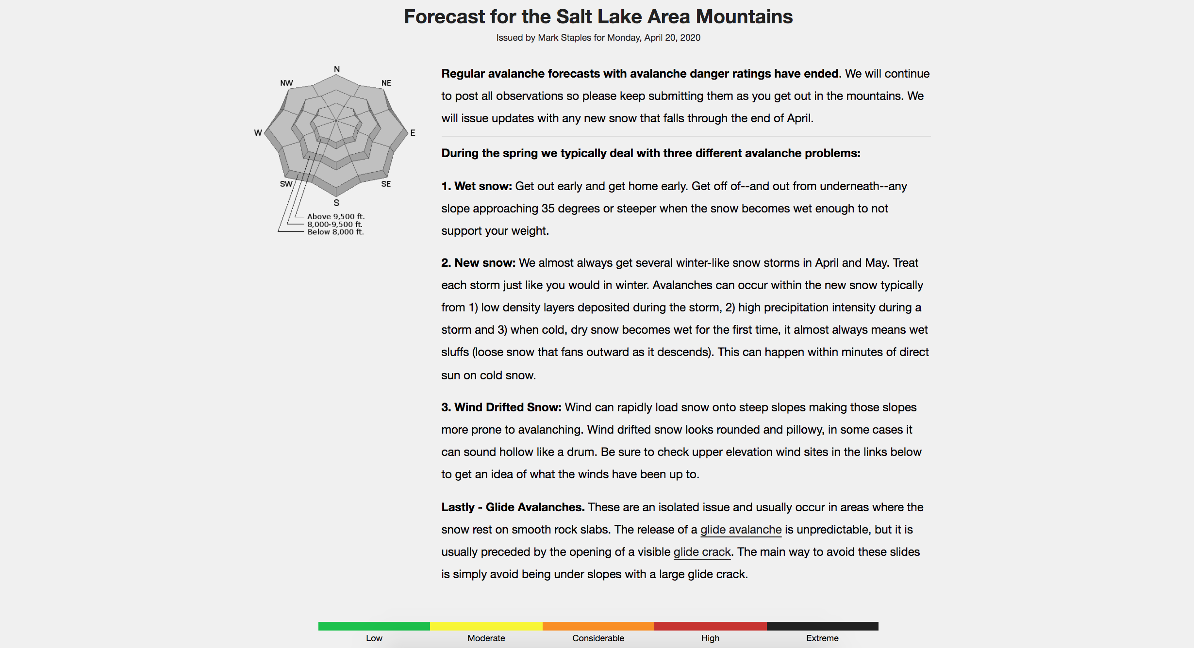
Regular avalanche forecasts with avalanche danger ratings have ended. We will continue to post all observations so please keep submitting them as you get out in the mountains. We will issue updates with any new snow that falls through the end of April.
During the spring we typically deal with three different avalanche problems:1. Wet snow: Get out early and get home early. Get off of–and out from underneath–any slope approaching 35 degrees or steeper when the snow becomes wet enough to not support your weight.2. New snow: We almost always get several winter-like snow storms in April and May. Treat each storm just like you would in winter. Avalanches can occur within the new snow typically from 1) low density layers deposited during the storm, 2) high precipitation intensity during a storm and 3) when cold, dry snow becomes wet for the first time, it almost always means wet sluffs (loose snow that fans outward as it descends). This can happen within minutes of direct sun on cold snow.3. Wind Drifted Snow: Wind can rapidly load snow onto steep slopes making those slopes more prone to avalanching. Wind drifted snow looks rounded and pillowy, in some cases it can sound hollow like a drum. Be sure to check upper elevation wind sites in the links below to get an idea of what the winds have been up to.Lastly – Glide Avalanches. These are an isolated issue and usually occur in areas where the snow rest on smooth rock slabs. The release of a glide avalanche is unpredictable, but it is usually preceded by the opening of a visible glide crack. The main way to avoid these slides is simply avoid being under slopes with a large glide crack.Weather and Snow
This does not mean the end of avalanches. Spring storms and warm temperatures may make avalanche danger rise. If you scroll down, we provide some general avalanche advice to follow for typical spring weather patterns and we provide a series of other links you can use for current conditions and mountain weather.
You are all vital members of the backcountry community, and the Utah Avalanche Center would like to thank you for a remarkable season.
______________
While we will continue forecasting and posting observations this month, our winter operations are ramping down and the UAC staff is already thinking about next season. But before we begin planning for next season’s forecasting, education, and awareness, we want to share our appreciation for what you all have contributed to our community this winter. You have followed the forecasts, submitted observations, taken our educational courses, attended Know Before You Go presentations, spread the word about our work, volunteered your time, and made donations.
______________
Your support of the UAC has shown your commitment to being part of this amazing backcountry community.
______________
#THANKYOU #utavy #knowbeforeyougo