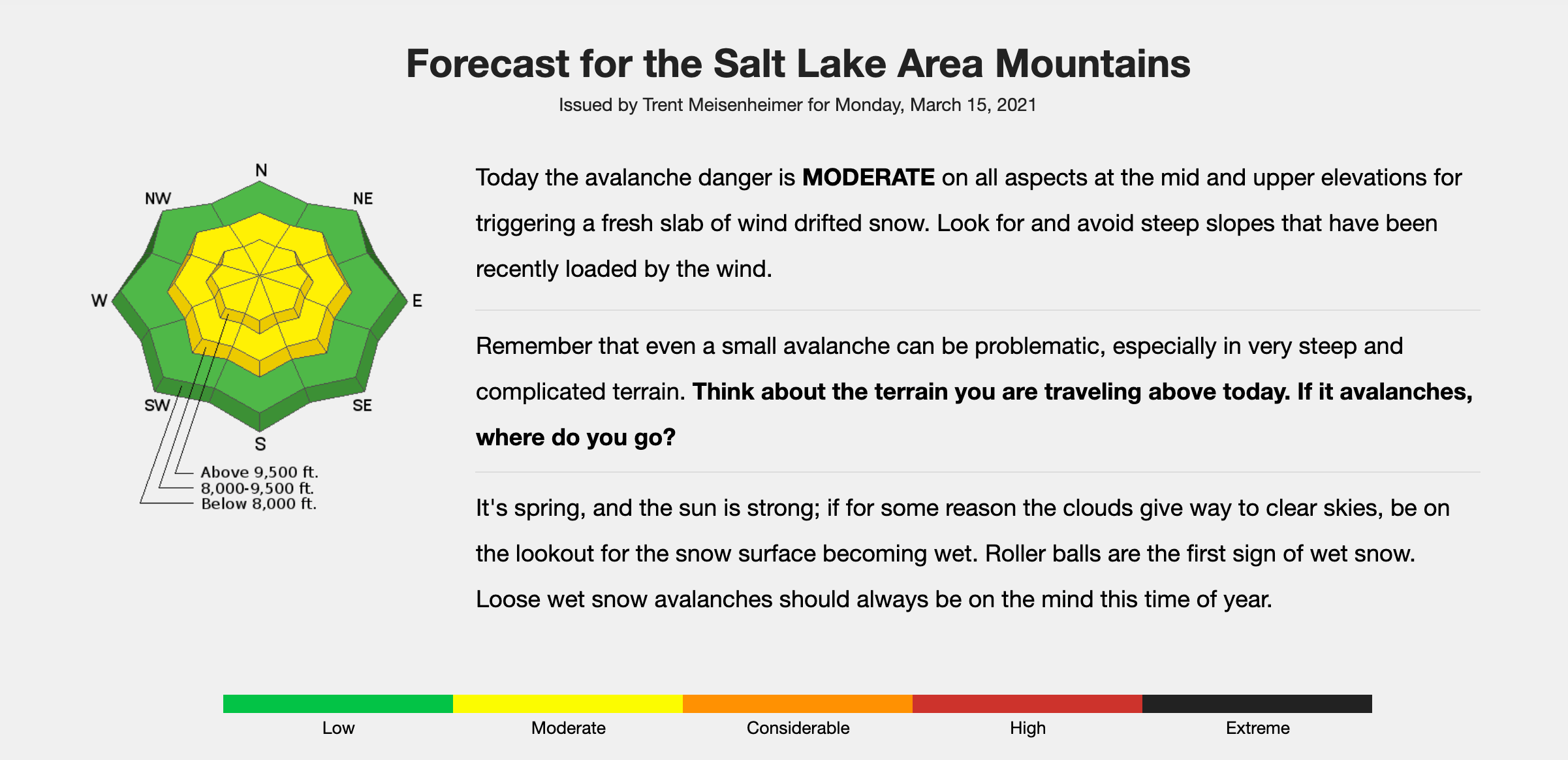
After weeks of high-to-extreme avalanche danger in the Wasatch Mountains near Salt Lake City, UT, avalanche forecasters have declared avalanche danger to finally be in the “Low” and “Moderate” category. A tricky layered snowpack persisted throughout the winter in the Wasatch, challenging even the most experienced avalanche experts in the region and leading to six deaths in the Utah mountains this year. By this point, though, springtime warming has led to a consolidation of the snowpack, and persistent weak layers do not appear to be a threat anymore.
However, avalanche danger is still present despite the downgraded forecast. A smaller storm has dropped several inches of new snow on the region, and fresh snow coupled with strong winds lead to the potential for wind slabs, especially near and above treeline. Below treeline, wet snow avalanches will be the concern on primarily south-facing slopes in the coming days if the sun reappears after the storm and rapidly warms the cold snowpack.
Just last weekend, four people were caught in a slide on the south side of Pfeifferhorn Peak in the Wasatch. Two of the skiers involved sustained serious injuries, but fortunately, no one was killed, and they were all rescued. This event demonstrates the need for continued awareness of the snowpack in the Wasatch.
Those choosing to recreate in avalanche terrain in the Wasatch should read the forecast and be aware of the several avalanche problems that could exist today and most likely will continue to exist for the next few days. Terrain management will be important as even small sloughs in extreme terrain can be dangerous. The Utah Avalanche Center is an excellent resource for snow enthusiasts of every kind wishing to learn more about the avalanche problems in the Wasatch and other mountain ranges throughout the state.

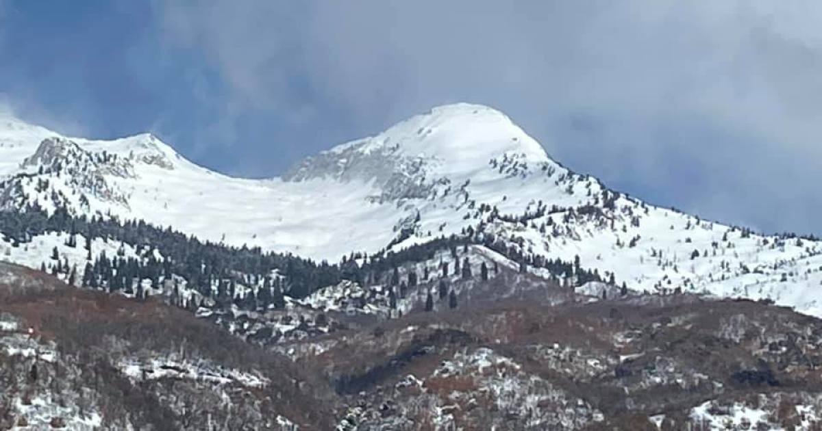
Photo is Big Horn peak, lookers right, the bowl to the left can be skied from the south summit of Lone peak. Pfeifferhorn is not visible in the photo.
Fixed it. Thank you!