“So here’s a video of my last descentes in June. Thank you everyone for believing in me, it’s very inspiring and motivating. Thank you a thousand times to my sponsors and my family who bear me very much. Thank you to my friends for being there even if i live far from the majority. Thank you very much to the chic-chac that allows me to take advantage of the chic-shock to people who take time to come skiing and this is the best I can! Thanks to intersport de matane and caroune ski shop for taking care of my old réguines. I’m already looking forward to next winter. Thank you again for sharing my photos and videos.. this is more than fun!!
It was an incredible winter. This is a randez-you this autumn my chic love-chocs!! Now it’s time to ski more.” – Félix Savard-Côté, June 28th, 2017
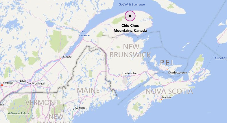
CHIC-CHOC MOUNTAINS INFO:
“The Chic-Chocs run parallel to the St. Lawrence River and are located some 20 to 40 kilometers inland. They are a narrow band of mountains approximately 95 kilometres (59 mi) long and 10 kilometres (6.2 mi) wide.[1] The Chic-Chocs are heavily eroded, with rounded, flattened tops and steep sides. Over 25 mountains in the range have peaks higher than 1,000 metres (3,300 ft); the highest is Mont Jacques-Cartier at 1,268 metres (4,160 ft). Caribou can be found in the plateaus of this region.” – wikipedia