Why such huge discrepancies in the amount of snow forecasted? Because Washington weather is crazy. And mostly because the snow amounts will vary largely with elevation. This storm is coming in wet and warm and leaving wet and cold. Elevations above 5,000 feet will see the most snow where elevations around 3,500 feet will be on the brink. At the right elevations, you could be lookin’ at over a foot by Sunday.
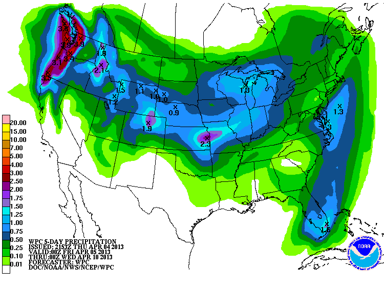
NOAA’s WEST SLOPE NORTHERN CASCADES FORECAST:
Tonight: Rain and snow. Snow accumulation up to 4 inches. Snow level near 5000 feet.
Saturday: Rain and snow showers in the morning…then rain showers…snow showers and a chance of thunderstorms in the afternoon. Some thunderstorms may produce small hail in the afternoon. Snow accumulation of 1 to 4 inches. Snow level near 4500 feet decreasing to 3500 feet in the afternoon.
Saturday Night: Rain and snow. Snow accumulation of 1 to 2 inches. Total snow accumulation 2 to 10 inches. Snow level near 3500 feet.
WASHINGTON SKI RESORT ELEVATIONS:
– Crystal Mountain = 4,400 ft -7,002
– Steven’s Pass, WA = 3,821ft – 5,845 ft
– Alpental, WA = 2,280 ft – 5,420 ft
– Mt. Baker, WA = 3,589 ft – 5089 ft
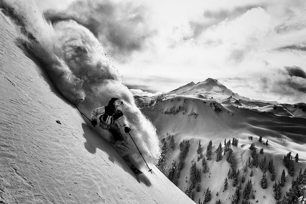
Yeah, won’t quite look like Adam U’s pic, but it’s gonna be fun. bring it!