THIS WILL BE THE FIRST "WINTER-LIKE" SYSTEM OF THE FALL SO FAR.
- NOAA, Reno, NV today
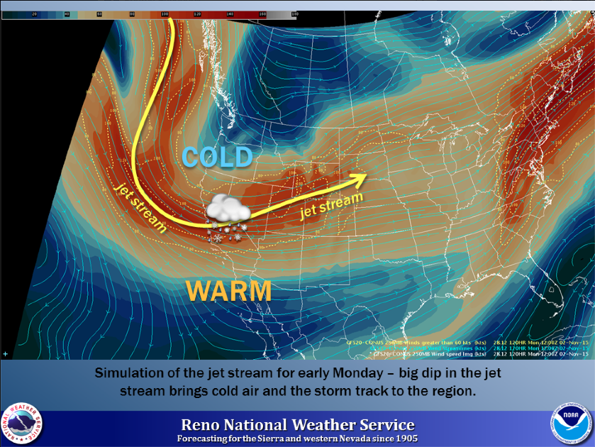
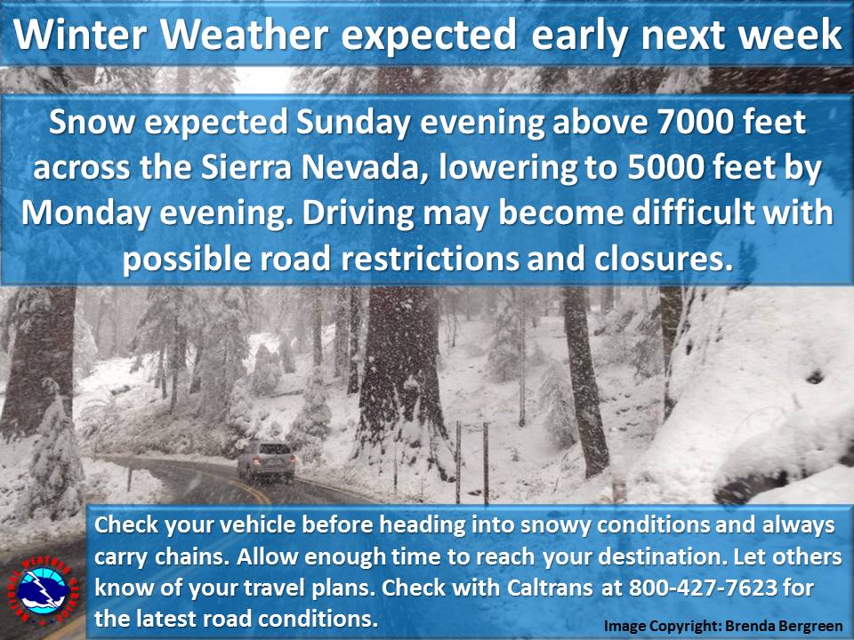
Tahoe got its first dusting of snow yesterday and people were fired up. NOAA says, if you liked that, you’re gonna love the next system that is forecast to be our first real winter storm of the season with big snow on the highest peaks, 100mph ridgetop winds, and snow levels as low as 5,000-feet. This next system is forecast to hit Tahoe on Sunday and Monday
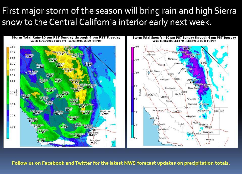
WITH 0.50" TO JUST OVER 1" QPF NEAR THE SIERRA CREST. - NOAA Reno, NV today
0.5 to 1″ of water on the Sierra crest should translate to about 6-12″ of snow if all goes well. Fingers crossed.

Bryan Allegretto thinks we could get up to 15″ of snow on the Sierra Crest:
Above 8000 feet most of this storm should be snow and we could see 6-9 inches on the East side of the basin, 9-12 inches on the West side, with up to 15 inches West of the lake along the crest. Above 7000 feet we could see 3-6 inches on the East side of the basin, and 4-8 inches on the West side. At lake level we could see 2-3 inches on the East side of the basin, and 3-4 on the West side.” –Bryan Allegretto/OpenSnow.com

“Did you like the dusting of snow in the mountains this morning? Well good news, our first winter storm of the season is on its way! Winds will be gusting around 50 mph in valleys and 100 mph along mountain tops ahead of a strong cold front Sunday.Be sure to secure any loose outdoor items. Rain and snow showers will move into the region Sunday into Monday with accumulating snow likely in the Sierra. Snow levels will start between 7500-9000 feet on Sunday, falling to around 5000 feet by Monday. Much colder temps are on tap for next week with high temperatures only in the 40s for many western Nevada valleys.” – NOAA Reno, NV


YES!