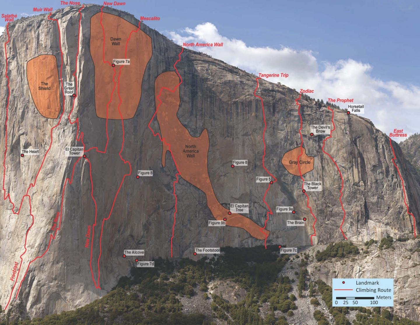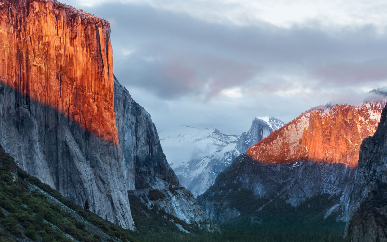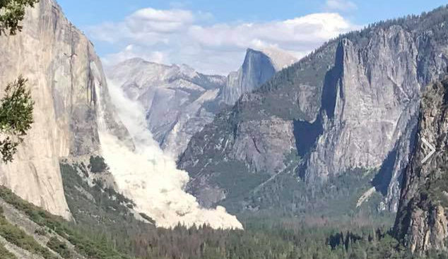
Multiple rockfalls occurred on famous big wall climbing location El Capitan in Yosemite National Park, CA this week.
A rockfall on Wednesday, September 27th 2017, killed one person and injured another. That rockfall was estimated to have been 1,300-tons of rock.
A rockfall on Thursday, September 28th 2017, was much larger, injured one person, and was estimated to have been 30,500 (61 million lbs) tons of granite.
The rockfall on Thursday was approximately 30 times larger than the rockfall on Wednesday.
“The rockfall on Thursday, September 28 was substantially larger than Wednesday’s series of rockfalls that occurred in the same area on El Capitan. The park geologist has measured the rockfall to have been 10,250 cubic meters in volume, or about 30,500 tons of granite. The dimensions for the source area are about 395 feet tall, 148 feet wide, and up to 26 feet thick. The September 28 rockfall ranks as the 29th largest rockfall on record in Yosemite National Park.
A number of geologic processes set the stage for rockfalls including glaciation, weathering, and bedrock fractures. Triggering mechanisms like water, ice, earthquakes, fluctuation in temperature, and vegetation growth are among the final forces that cause unstable rocks to fall.” – Yosemite National Park, yesterday


I can imagine an advanced degree project involving a lot of time on vertical terrain, mapping the face of one of the interesting walls with a time line of fresh exposure determined by various superficial weathering parameters. One would make a preliminary map from the ground based on visual cues and then sample and document the hypothetical map. Could be useful in global aerial and satellite surveys of tectonic activity. Any sign of tectonic triggers of these falls?