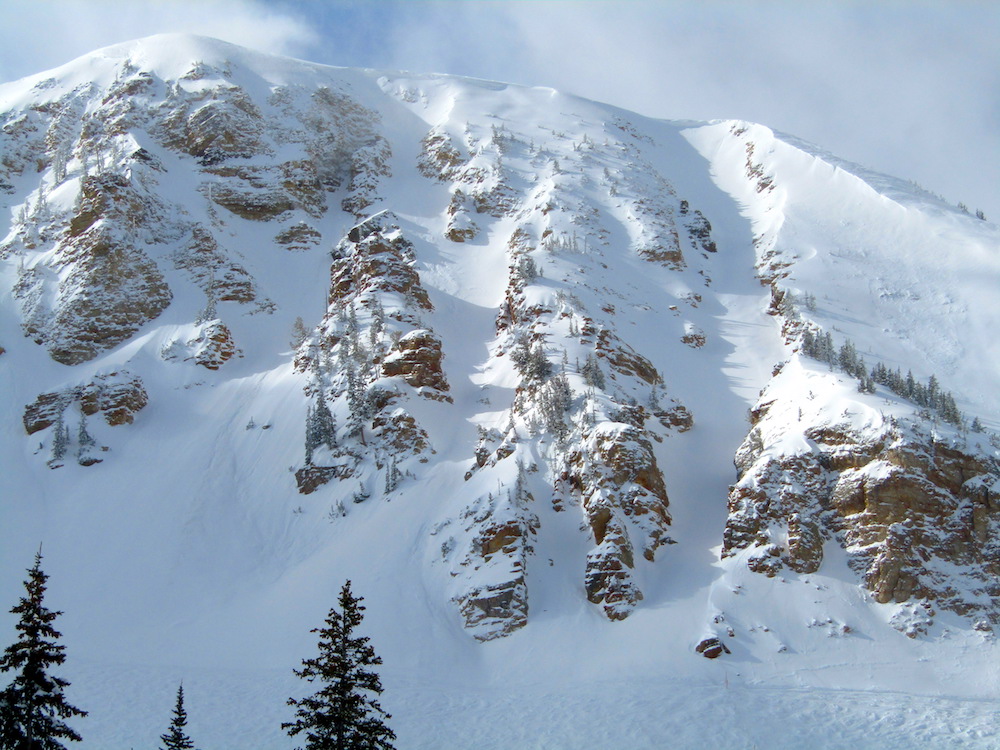
Report from March 5th, 2019
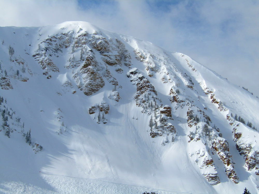
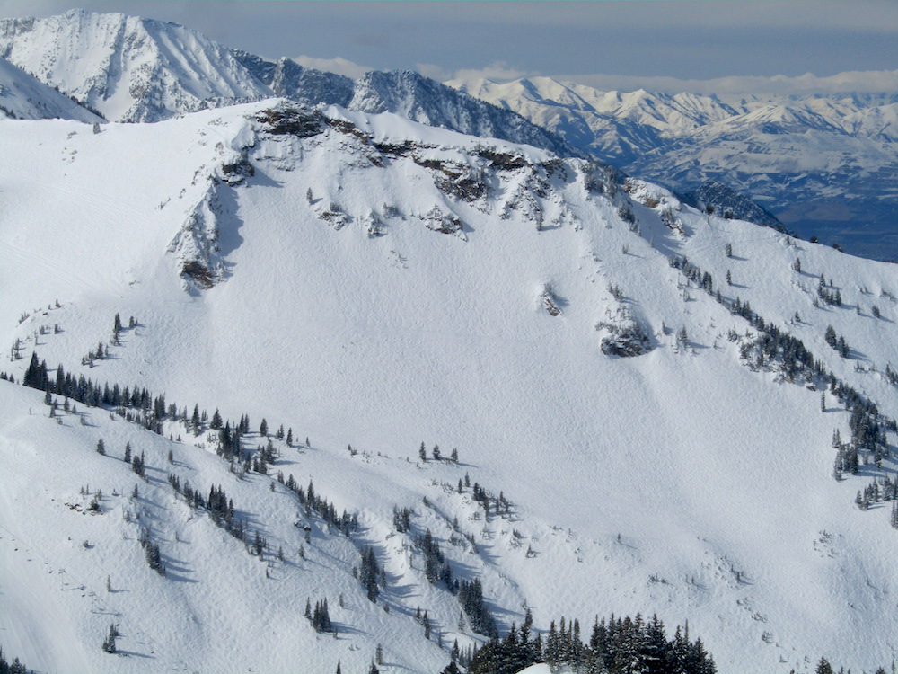
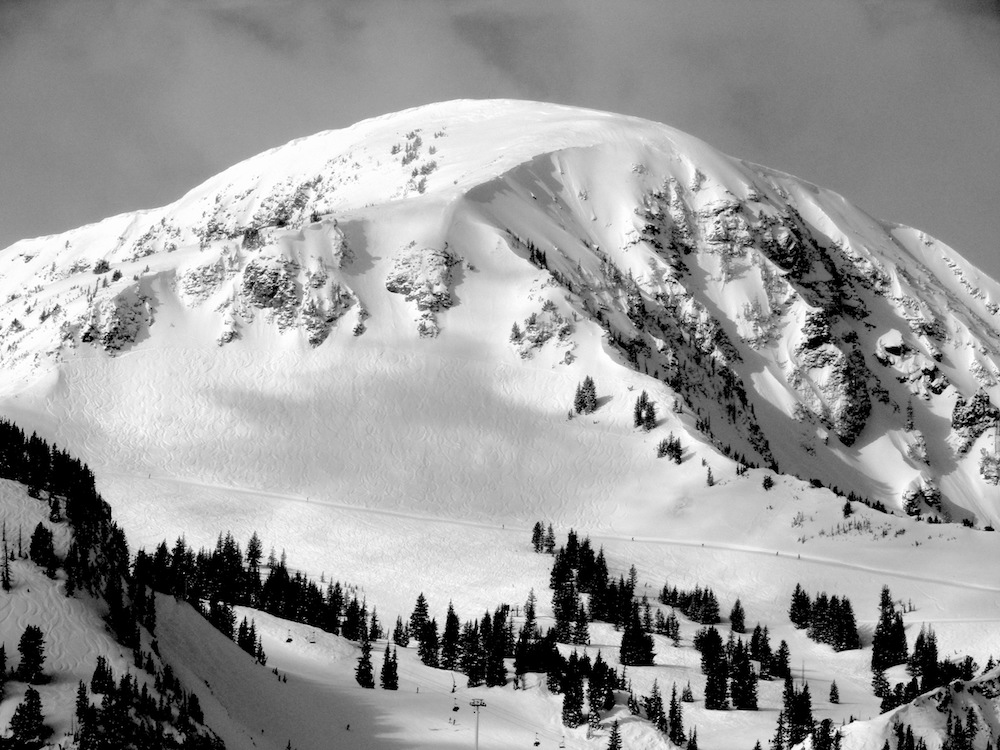
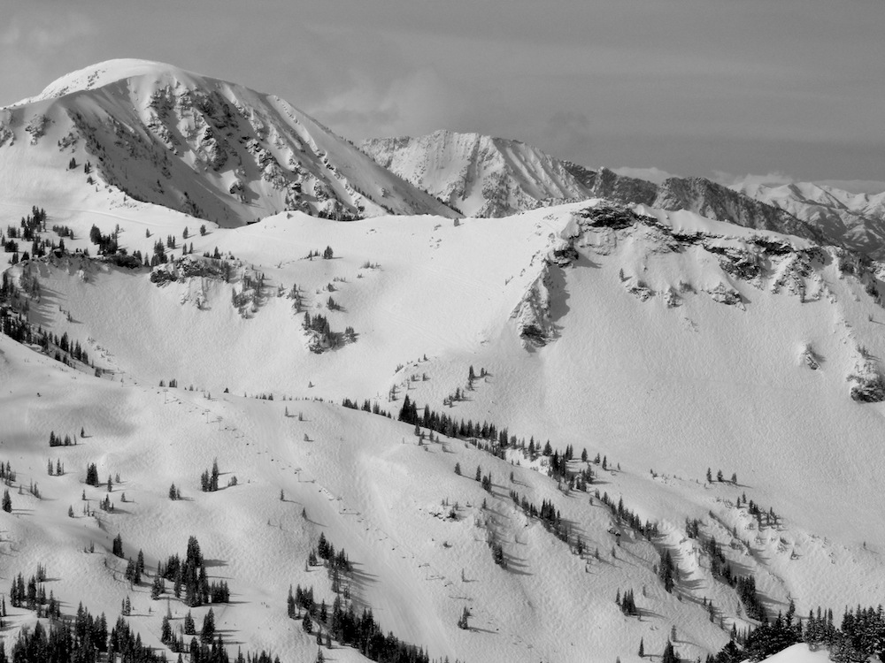
Alta ski area in UT is chalk-full of snow right now.
Very filled in and looking great.
These photos really show it.
Alta has seen 416″ of snow already.
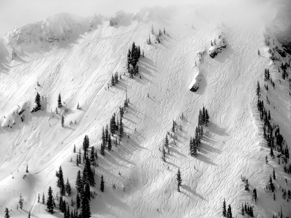
We jumped onto the lifts early today and took a tour.
Wildcat, Collins, Sugarloaf, and Supreme.
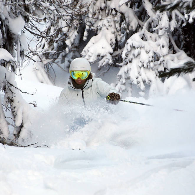
The snow was still skiing great everywhere and if you hunted and hiked a bit, you could still find full on powder and most certainly powder patches.
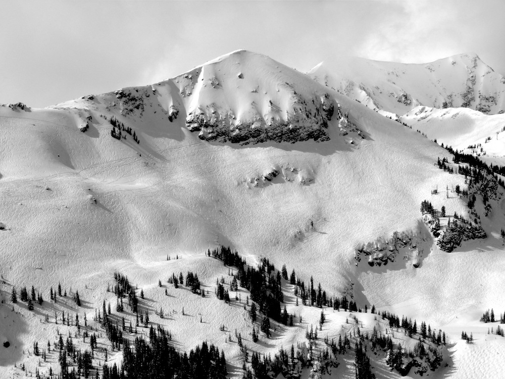
The sunshine was nice and the temps were warm, but not quite too warm.
At about 1pm, the clouds rolled in and took the sun away.
A storm was slowly rolling in as we were leaving.
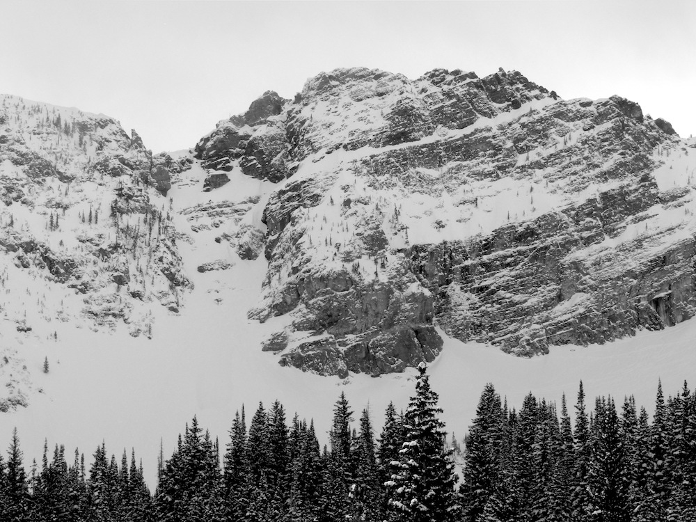
NOAA’s forecast is calling for 6-24″ of snow the next 2 days.
* WHAT...Snow expected. Total snow accumulations of 6 to 18 inches expected by
midday Thursday, mainly above eight thousand feet. Southwest slopes may locally
see in excess of 2 feet of snow. Mid elevation winds gusting as high as 50 mph,
especially south of I-70.
- NOAA SLC, UT today
SNOW NUMBERS:

FORECAST:

Winter Weather Advisory for Alta
URGENT - WINTER WEATHER MESSAGE
National Weather Service Salt Lake City UT
243 PM MST Tue Mar 5 2019

Wasatch Mountains I-80 North-Wasatch Mountains South of I-80-
Western Uinta Mountains-Wasatch Plateau/Book Cliffs-
Central Mountains-Southern Mountains-
Including the cities of Woodruff, Randolph, Alta, Brighton,
Mirror Lake Highway, Scofield, Cove Fort, Koosharem, Fish Lake,
Loa, Panguitch, and Bryce Canyon
243 PM MST Tue Mar 5 2019

...WINTER WEATHER ADVISORY IN EFFECT FROM 9 PM THIS EVENING TO
10 AM MST THURSDAY...

* WHAT...Snow expected. Total snow accumulations of 6 to 18 inches
  expected by midday Thursday, mainly above eight thousand feet.
  Southwest slopes may locally see in excess of 2 feet of snow.
  Mid elevation winds gusting as high as 50 mph, especially south
  of I-70.

* WHERE...The mountains of Utah.

* WHEN...From 9 PM this evening to 10 AM MST Thursday.

* ADDITIONAL DETAILS...Winter driving conditions are expected,
  especially above eight thousand feet, though at times as low as
  seven thousand feet. Gusty winds may cause blowing and drifting
  snow, locally reducing visibilities to near zero.
PHOTOS:
