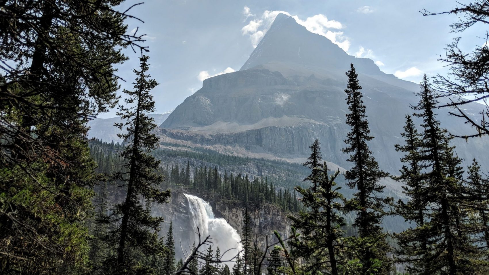
A large avalanche buried a popular trail in British Columbia under huge chunks of snow, the RCMP reported.
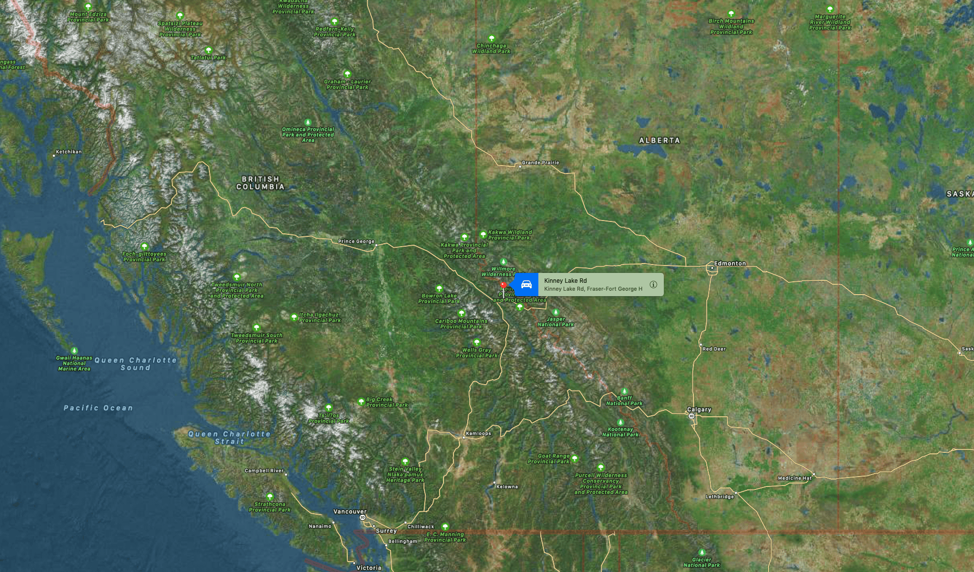
Berg Lake trail at Mount Robson was buried by the category 3 avalanche on Thursday, just before the Kinney Lake campground.
- Related: The Proposed British Columbia Mega-Resort That Would Be the Biggest Ski Area in North America
Valemount RCMP Cst. Ron Trimm received the call at 4:55 pm and flew straight to the site with a park ranger and search and rescue volunteer.
“At first we weren’t sure of the size of it – they were advised by an avalanche tech out of Nelson that it was a Category 3. However, once we got up there and saw the slide we went down to the lake where it ended up a lot of the snow had melted but a lot ended up over the trail and in the lake.”
“Once we got back in the helicopter we could see where some trees had been torn down because of the slide but there were no injuries to anybody. No one was in any danger but they could have been if they’d been further up where it happened.”
“It widened out once the land flattened out and went across the trail and made some streams where there weren’t any streams, but after checking it out they wouldn’t even classify it as a Category 1 slide.”
– Ron Trimm
A combination of a high snowpack during the winter, recent heavy rainfall, and 86ºF temperatures sped up melting on the slope, causing the slide.
Mount Robson is the most prominent mountain in North America’s Rocky Mountain range; it is also the highest point in the Canadian Rockies. The mountain is located entirely within Mount Robson Provincial Park of British Columbia and is part of the Rainbow Range. Mount Robson is the second highest peak entirely in British Columbia, behind Mount Waddington in the Coast Range. The south face of Mount Robson is clearly visible from the Yellowhead Highway (Highway 16) and is commonly photographed along this route.
Berg Lake is a lake on the Robson River just below the river’s source located within Mount Robson Provincial Park, at the doorstep of the north face of Mount Robson, the highest peak in the Canadian Rockies. It is partly fed by the Berg Glacier.
The turquoise colored Berg Lake is dotted with icebergs even in the middle of summer. Berg Lake can be reached by following a marked hiking trail for 19 kilometers (12 mi) from the parking lot. To reach the parking lot, follow Highway 5 north from Valemount to Highway 16 and head east 18 kilometers (11 mi). Or, follow Yellowhead Highway 16 west from Jasper townsite for 84 kilometers (52 mi) to the Mount Robson Viewpoint center. On the north side of the highway, follow a two-lane paved road for 2 kilometers (1.2 mi), ending at the parking lot.
The 26-miles Berg Lake trail is a world-renowned hike that takes people to the foot of Mount Robson.
