Have you ever wondered why avalanche forecasters get so worked up about early season snow? Those first few storms of the season might seem harmless enough, maybe just enough snow to cover the grass and get us dreaming about powder days ahead. But here’s the thing: these early season storms can set up the snowpack for instability that persists throughout the entire winter. Let’s dive into why those October and November flakes matter so much for backcountry safety.
The Setup: Early Season Snow Layers
Picture this: it’s mid-October, and the first storm rolls through, dropping six inches of snow on the high peaks. The weather clears for two weeks, temperatures plummet, and clear skies dominate. Awesome—six inches of snow this early should be a good sign for the season to come, right? Wrong. Early season snow actually has no bearing on how the rest of the season will play out. This is a classic early season pattern that can spell trouble for months to come.
What makes early season snow particularly problematic? It’s all about timing and temperature. During fall, we typically see longer periods between storms than we do mid-winter. These gaps, combined with cold temperatures and shallow snowpack, create the perfect recipe for a weak layer to form.

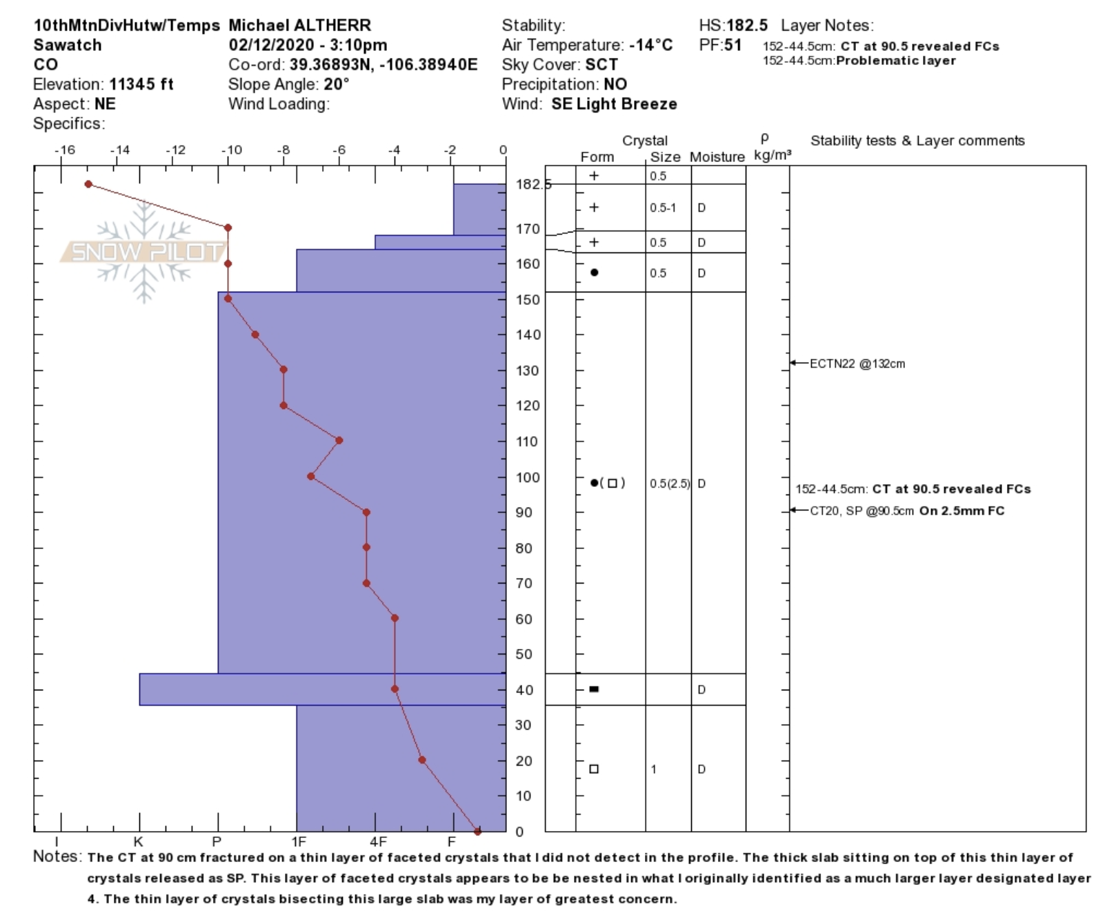
When we have a shallow snowpack exposed to cold temperatures, we get something called a temperature gradient. But what does that mean, and how can it save your life? Simply put, it’s the difference in temperature between the ground (usually around 32 degrees Fahrenheit) and the snow surface (which might be well below zero). This temperature difference creates a moisture gradient, where water vapor moves from warmer to colder areas within the snow.

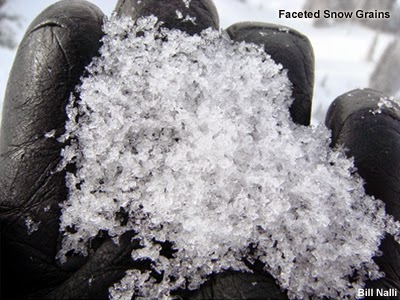
This process transforms early season snow crystals into something we call facets—think sugar-like grains that don’t stick together well. In extreme cases, we get depth hoar: large, cup-shaped crystals that form the weakest possible snow structure. These layers become the equivalent of building your house on sand; it might hold for a while, but the foundation is fundamentally unsound.
Think about carefully placing a book on top of four eggshells: that’s essentially what happens when new snow loads on top of these early season weak layers. The weight above increases, but that fragile foundation remains…waiting.
The Time Bomb Effect
These weak layers don’t just disappear when new snow falls. Instead, they get preserved, creating what’s known as a persistent weak layer that can plague us for months.

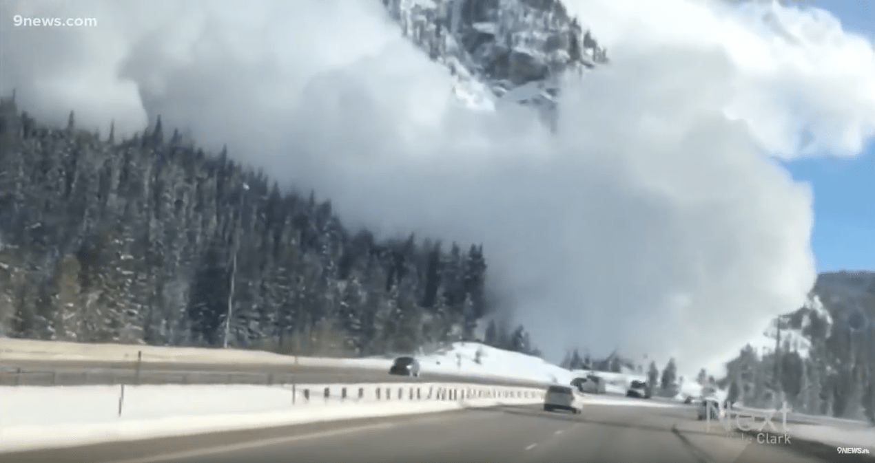
The winter of 2018-19 provides a textbook example, with over 1,000 avalanches recorded during the month, 87 of which were classified as D4 or larger on the destructive scale. For context, only 24 such large avalanches were recorded in the entire state from 2010 to 2018.
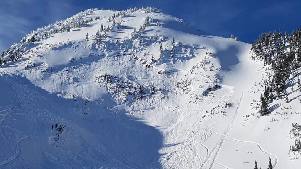
Early October 2018 snow in Colorado turned to facets during a long dry spell, creating a widespread weak layer that became notorious among avalanche forecasters. When a series of huge storms arrived in force during March, we saw historic avalanche cycles with slides running wider and farther than anyone had seen in decades.
This is a great example depicting how the weak layer remained reactive even after being buried deep in the snowpack. Skiers triggered avalanches on these layers well into March–nearly six months after they formed.
Identifying and Managing the Risk
So how do we deal with this potential hazard? First and foremost, pay attention to what happens in the early season.
When evaluating an early season snowpack, look for these red flags:
- Long periods between early season storms
- Shallow snow depths combined with cold temperatures
- Visible faceted crystals or depth hoar near the ground
- Collapsing or “whumphing” sounds when traveling
Remember: the best snow pit is the one you dig in your mind before the season even starts. Understanding how these layers form helps you anticipate problems before you’re standing at the top of a loaded slope.
The Takeaway
Early season snow isn’t just a preview of winter–it’s literally setting the stage for everything that follows. Whether you’re a weekend warrior or a dedicated powder chaser, understanding these foundational snowpack principles can keep you safer in the backcountry.
Stay informed, make conservative decisions when uncertainty exists, and never underestimate the importance of those first few storms of the season. The life you save might be your own.
Remember to ALWAYS ski with a partner, beacon, probe, and shovel, and ALWAYS consult your local avalanche forecast before venturing into the backcountry. Stay curious, stay humble, and stay safe out there.
Very informative. Please write more of these educational type of articles