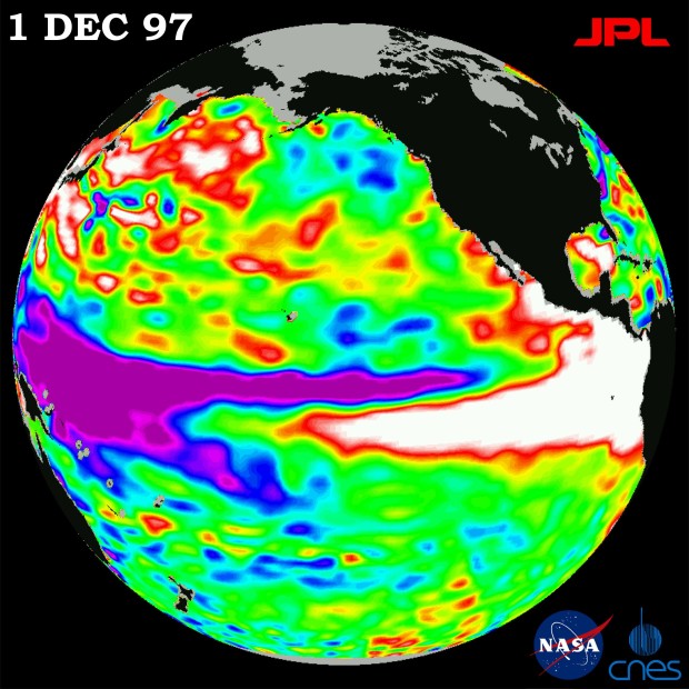
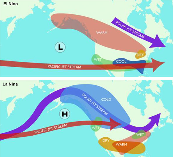
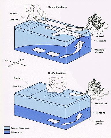
The Scripps Institute released their (ENSO) El Nino Southern Oscillation outlook for next winter. They are predicting a strong El Nino which typically means big storms from Tahoe south. Something to think about as we go through the remainder of the season.

This weekend’s storm for Saturday night and Sunday seems to be shearing apart. There has been talk of several feet of snow for next week starting with a spoke breaking off the low for Saturday night. The trough was expected to pick up the remnants of the atmospheric river and combine with a strong cold front. The moisture tap has been cut off by a ridge and the front looks like it falls apart as it reaches the Tahoe area. Snow levels start at 8,000 most of the precipitation falls as snow levels lower to 7,000 with the possibility of a light coating at lake level. So it looks like 3-6 inches above 7,000 with maybe 8 inches on the west crest of the Sierra

As far as the several feet of snow for this next week, the models completely missed on the placement of the low. Models initially had placed the jet stream right over Tahoe with the low pressure system that has been spinning in the Aleutians dropping down the British Columbia coast into the Pacific Northwest. Now it appears the low doesn’t make it beyond 50 degrees N directing the jet into the Oregon and California border. So we are left with three short waves, the first one misses us to our north on Monday so maybe an increase in winds. The second wave comes in late Tuesday into Wednesday, snow levels starting at 6,000 dropping to 4,000. Confidence on the precipitation amounts on this storm is low but right now it looks like 3-6 inches. The last wave looks like it comes in late Thursday into Friday although the timing is likely to change. This looks more like a classic inside slider so another round of wind, increasingly colder temps and what looks at this point like just some snow showers with maybe some accumulations on the crest.

Looks like the same sad story for the medium range. As the ridge sets up between 140-145W for another inside slider pattern, it appears that by the end of next week the ridge builds back in to 130W and we warm up into the first week of March. The same exact pattern that has been repeating itself this entire season. This last series of atmospheric river events that have hit the west coast recently should have ripped the legs out from under this pattern that we keep repeating. I hate to say it but this change that occurred in the models for this next round of storms with the ridge nosing its way in and keeping the jet to our north is incredibly discouraging as we rapidly approach March. So it looks like March is going to start dry. Changes are occurring much more rapidly recently so hopefully this is subject to change.

As far as the long range is concerned. The Polar Vortex in Canada has weakened significantly. It looks like winter is finally going to loosen it’s grip on the rest of the country. The flow in the Atlantic is becoming more progressive so these two factors should hopefully prevent a persistent ridge from forming off of our coast. As far as the fundamental change that we been waiting for in the Pacific, it is yet to happen. The ensembles are showing the ridge getting pushed to the east end of the month with a trough forming in the far eastern Pacific middle of the first week of March. Is the Western Pacific Oscillation and the Eastern Pacific Oscillation starting the process of re-positioning themselves to finally start steering the jet stream into California? The Climate Forecasting System is predicting average precipitation for the first week of March, and above average for the second.
