Weather models the best tools we have for peering into the future of the atmosphere, but not all models are the same. When forecasters talk about global and mesoscale weather models, what exactly are they referring to?
Global Models

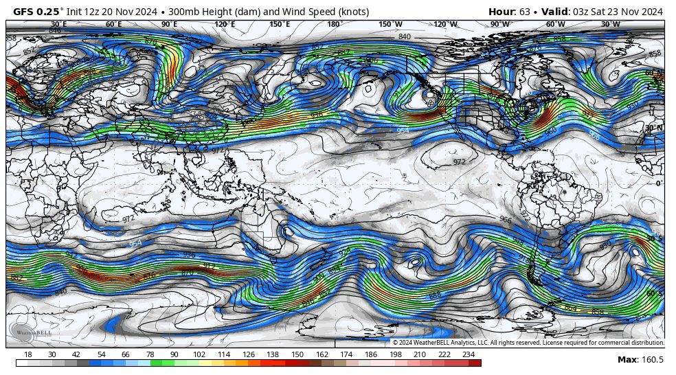
Global weather models are exactly what they sound like. They look at the big picture, covering the entire planet. These models are expansive and designed to forecast broad atmospheric processes on a planetary scale. The most widely known examples include the GFS (Global Forecast System), the ECMWF (European Centre for Medium-Range Weather Forecasts), and the GDPS (Global Deterministic Prediction System) from Environment Canada.
These global models are very important for understanding large-scale atmospheric trends, like the placement of jet streams, the timing of storm systems, or the progression of cold fronts across continents. They excel in providing long-range forecasts, often many days or even weeks in advance, with stability and consistency that come from their broad coverage and inherently cohesive nature (since they cover the entire globe on one uniform grid).
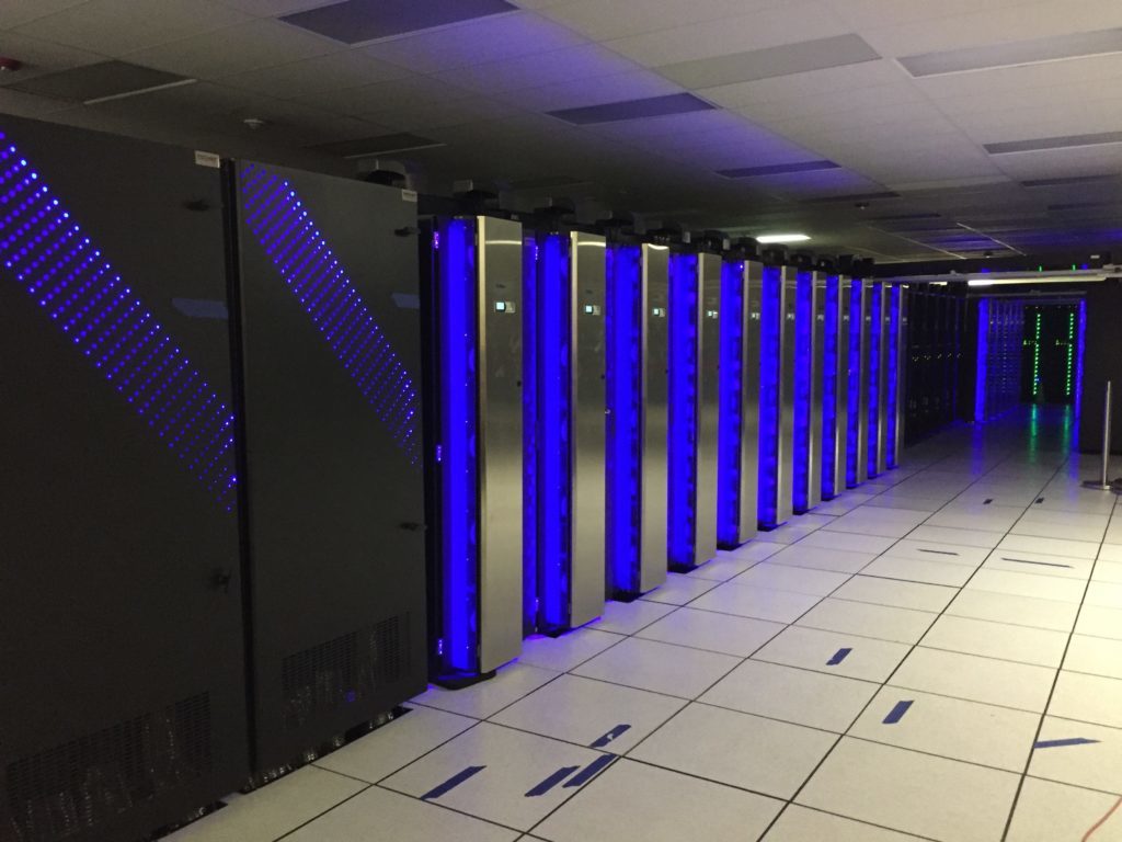
However, this wide coverage also means that global models operate at a fairly coarse resolution (usually 10-25 kilometers); we can only simulate so many grid points per model run with current supercomputer infrastructure. They are unable to capture most local intricacies, especially when it comes to complex terrain like mountain ranges. This limitation means they have a reduced ability to resolve high-resolution variability, an important factor for predicting conditions in mountainous regions, where snowfall and wind, for example, can vary drastically over just a few miles. For skiers, relying solely on global models can sometimes mean missing out on crucial details about snow conditions.
Mesoscale Models

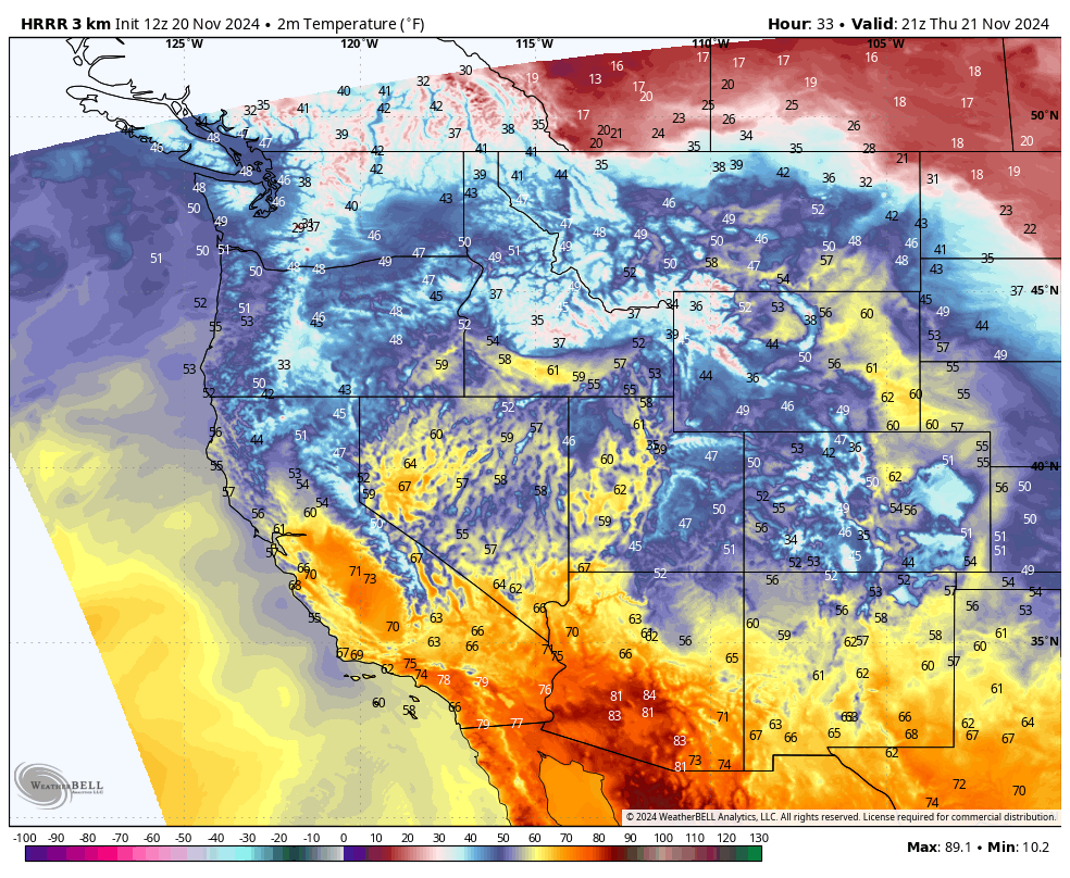
Mesoscale models are like regional specialists, focusing on smaller and more detailed slices of the atmosphere. Unlike global models that paint with broad strokes, mesoscale models dive into the details. Key examples include the HRRR (High-Resolution Rapid Refresh), the NAM (North American Mesoscale Model), and the WRF (Weather Research and Forecasting Model).
These models capture finer details of the atmosphere, including terrain-induced phenomena like mountain snowfall, localized convection, or terrain-influenced winds. Imagine a model that can tell you how much snow will fall on one side of a ridge versus the other: that’s the power of mesoscale modeling.

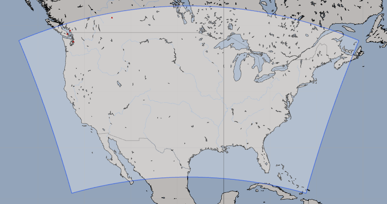
Mesoscale models work by embedding domains, essentially smaller focus areas, within the broader context provided by global models. The global models provide the initial conditions and boundary conditions, and the mesoscale models provide high-resolution forecasts inside that embedded region (usually 2-6 kilometer grids). This approach allows them to zoom in on particular regions with much greater detail. The strength of mesoscale models lies in their high resolution and their ability to provide short-term precision, often down to hourly forecasts or even sub-hourly forecasts. This makes them incredibly valuable for understanding rapid changes in weather, such as the development of snow bands or quickly shifting wind patterns.
However, this detailed focus comes with some trade-offs. Mesoscale models are computationally intense due to their high-resolution and thus more grid points, requiring more processing power than their global counterparts. They also typically have a shorter forecast range, focusing on hours to a few days ahead rather than weeks.
Why Both Are Needed
So why do forecasters use both global and mesoscale models? The answer lies in how these two approaches complement each other. Think of a global model as providing the “big picture,” while mesoscale models give the “zoomed-in” details that guide local decisions.
For instance, imagine forecasting a major winter storm. A global model might highlight the broad potential for a storm several days or even weeks out, allowing forecasters (and skiers!) to prepare. As the storm approaches, mesoscale models step in, providing the fine details: how much snow will fall in a particular mountain valley, or which slopes are likely to get wind-loaded with fresh snow. This combination is crucial for mountain meteorology, where the overall setup is important, but the precise local impacts are what really matter to skiers.
The interaction between these two types of models is what makes modern forecasting both an art and a science. It’s about blending the strengths of each—using global models to identify broader trends and mesoscale models to zero in on the local nuances that make or break a powder day.
Challenges and Limitations
No model is perfect; each comes with its own set of challenges and limitations. Global models are powerful for their broad coverage, but their coarse resolution means they struggle with forecasting high-resolution phenomena like orographically-generated snow or wind. On the other hand, mesoscale models, while precise, are computationally demanding and sensitive to rapidly changing conditions. They require accurate boundary conditions from global models to work effectively, meaning that any error in the global model can ripple through and impact the mesoscale forecast.
The atmosphere is inherently chaotic, and despite all the advancements in computational power and data collection, accurately predicting the weather remains a challenge. This is particularly true in mountainous areas, where local effects like wind channels and microclimates can significantly alter outcomes over short distances.
The Future: Blending the Scales

Fortunately, weather modeling is constantly advancing. With improvements in data assimilation, machine learning integration, and increasing computational power, the distinction between global and mesoscale models is becoming less and less defined each year. Scientists and researchers are blending the strengths of both types of models to create integrated systems that can capture both broad trends and local details with greater accuracy. Additionally, advancements in computational power are allowing for higher-resolution global models, which are slowly evolving to offer mesoscale-level detail—while still maintaining global coverage.
Machine learning, in particular, holds promise for the future of weather forecasting. By using historical data and real-time observations, machine learning techniques can help refine model output and improve downscaling—essentially bridging the gap between global forecasts and mesoscale precision. Ongoing research in ensemble forecasting, which runs multiple simulations to capture a range of possible outcomes, is also pushing the envelope of what’s possible in weather prediction.
The Art and Science of Forecasting
Understanding both global and mesoscale models gives a deeper appreciation of how different scales of atmospheric processes contribute to the forecasting process. Predicting the weather is not just about running numbers through a computer; it’s an art that blends the broad overview of the atmosphere from global models with the precise details from mesoscale tools. This is why forecasters are so valuable. We know the strengths of different models, which models to use and when, and how to weigh the outputs effectively. Forecasters add their expertise to interpret model outputs, identify potential pitfalls, and make informed decisions that automated systems alone simply cannot.