Winter Storms have absolutely pounded Utah this winter and its going to continue. A persistent storm is currently dropping snow on much of Utah and its going to stick around through the morning.
20-38″ of snow is expected in total, with 10-18″ of additional snowfall today-tomorrow morning.

Colder temperatures are expected to stick around along with this storm, which should eliminate the rainfall at ski areas.
Utah Mountain Forecast: 20-38″ of Total Snow Accumulation Through Friday Morning
* SNOW ACCUMULATIONS...Storm totals of 20 to 38 inches...except 10
  to 18 inches across the central mountains.
- NOAA Salt Lake City, UT


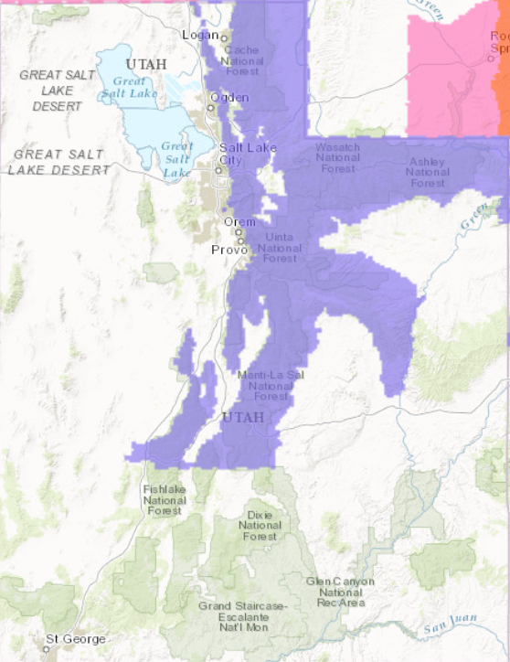
Winter Weather Advisory For Utah:
URGENT - WINTER WEATHER MESSAGE
National Weather Service Salt Lake City UT
348 AM MST Thu Feb 23 2017

Wasatch Mountains I-80 North-Wasatch Mountains South of I-80-
Western Uinta Mountains-Wasatch Plateau/Book Cliffs-
Central Mountains-
Including the cities of Woodruff, Randolph, Alta, Brighton,
Mirror Lake Highway, Scofield, Cove Fort, Koosharem,
and Fish Lake

...WINTER WEATHER ADVISORY REMAINS IN EFFECT UNTIL 4 AM MST
FRIDAY...

* AFFECTED AREA...The Wasatch and Western Uinta Mountains,
  Wasatch Plateau and Book Cliffs, and the Central Utah
  Mountains.

* SNOW ACCUMULATIONS...Storm totals of 20 to 38 inches...except 10
  to 18 inches across the central mountains.

* TIMING...Snow showers will continue, heavy at times, through the
  day today. The snow is expected to taper off late tonight
  through early Friday.

* IMPACTS...Winter driving conditions including snow covered roads
  and reduced visibility can be expected along all mountain routes
  at times through tonight.
