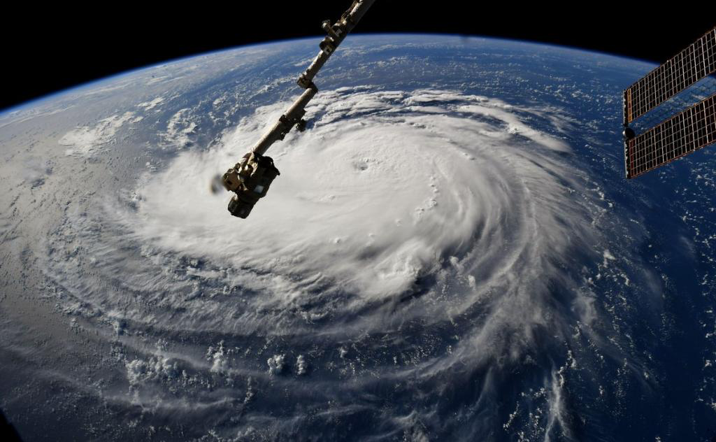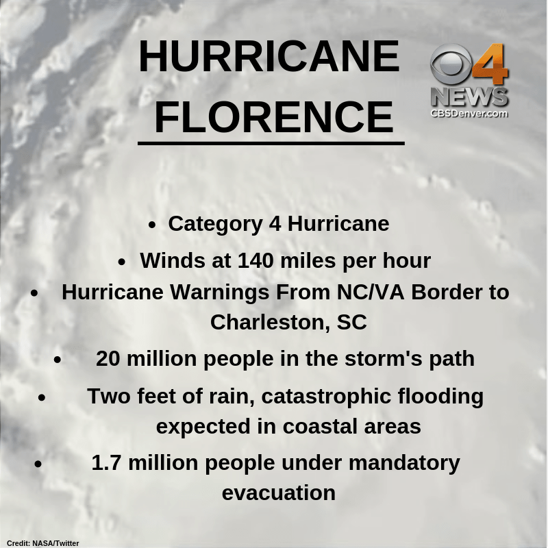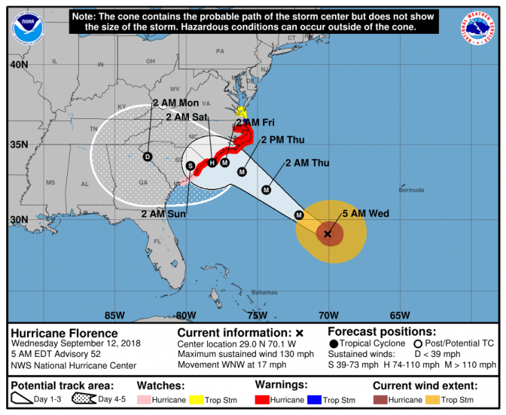
Hurricane Florence is beginning to strengthen again this morning after some fluctuations occurred overnight. It currently maintains a Category 4 strength, but that could intensify, and is expected to make landfall late afternoon Thursday with sustained winds of 140 mph.
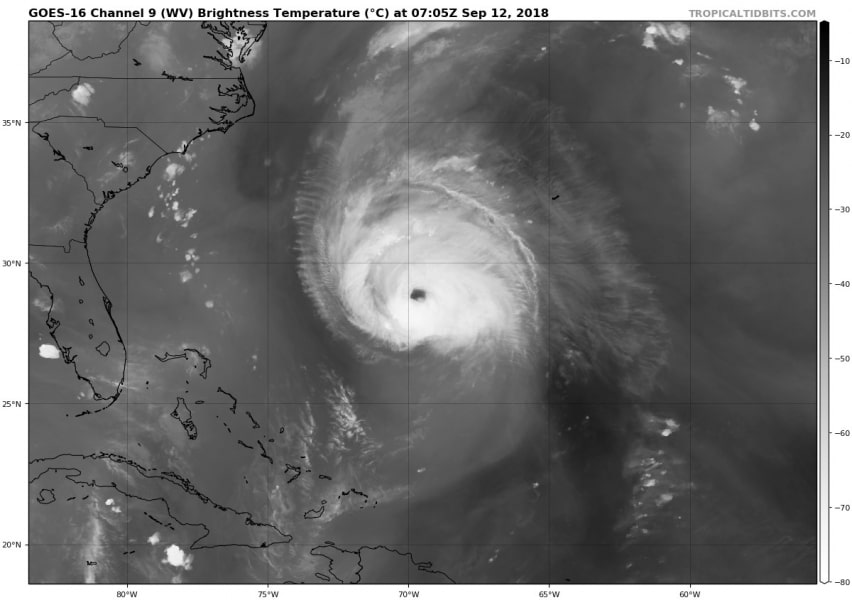
Hurricane warnings have already been issued for coastal areas of North Carolina and parts of South Carolina coast. Florence is expected to impact these areas as a major hurricane of at least Category 3 or even Category 4 strength storm. An extreme amount of rainfall up to 40 inches or more is possible.
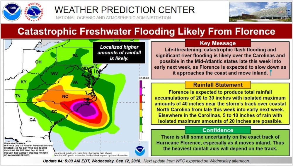
Life-threatening, catastrophic flash flooding and significant river flooding is likely over portions of the Carolinas from late this week into early next week, as Florence is expected to slow down and possibly almost stall as it approaches the coast and move inland. Based on latest model runs, its track will potentially move WSW along the coast.
