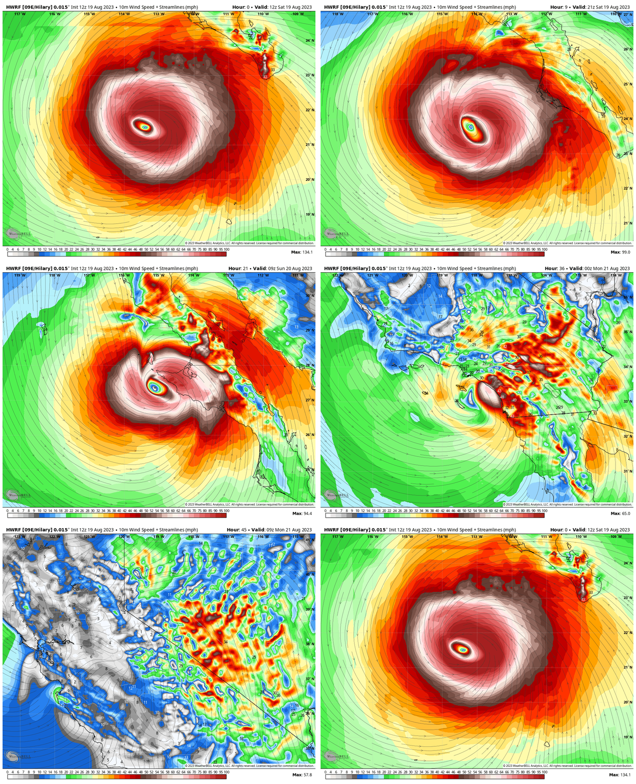
Note: this is NOT an official forecast. Refer to the National Hurricane Center or local National Weather Service offices for the latest information.
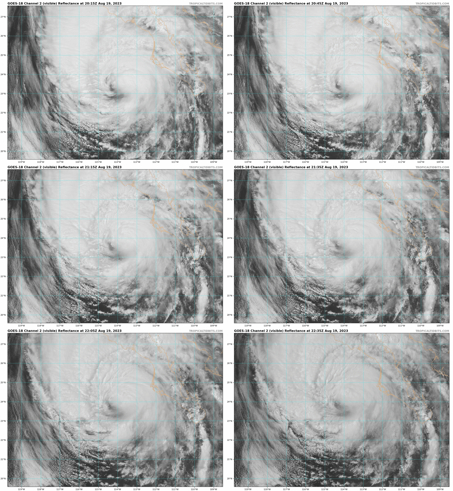
Hurricane Hilary is projected to make landfall in southern California this weekend, making this the first time in over 80 years that a tropical storm has impacted California. Hilary is expected to bring high winds, flood risk, and even upper-elevation snow to the southwest United States.
Hilary formed as a tropical disturbance in the Eastern Pacific on Sunday and has been intensifying and marching to the northwest ever since. As of the time of writing this on Friday afternoon, Hilary had a central pressure of 958mb and maximum sustained wind speeds of 110mph, making it a category 2 hurricane. It peaked in intensity on Friday with winds up to 145mph, making it a category 4.

The latest forecasts have Hilary making landfall in northern Baja California early on Sunday morning. Hilary will then creep up the coast, with impacts reaching Los Angeles and San Diego early Sunday afternoon. Things should be completely cleared out from the Los Angeles area by Monday morning as the moisture surges northward.
Models are indicating widespread 1-4″ rainfall totals in southern California and Nevada, which for some places, is more than they get in several years! The highest totals will be found in the mountains above Los Angeles, where upwards of 8″ of rain are possible. Pretty incredible for a region that averages very little August precipitation! Hilary is forecasted to bring gusts of 30-60mph to the region.

Perhaps the most incredible part of this storm is the high-elevation snow that it is projected to bring. Snow levels will be bouncing between about 13,000 and 14,500 feet during this event, meaning the upper peaks of the southern Sierra should see some accumulations. The European ECMWF model, the most accurate in the world, is projecting 1-2″ totals across a decent swath of the mountains. However, the grid spacing of this model is fairly coarse for an event like this, meaning the average elevation of the grids is lower than its highest peaks, so it’s likely under-estimating snowfall for the highest peaks. I could see the highest peaks like Mount Whitney and White Mountain picking up as much as 5-10″.

Sierra Nevada snow in August is decently rare already, so the fact that accumulating snow is coming from a tropical system is pretty incredible!