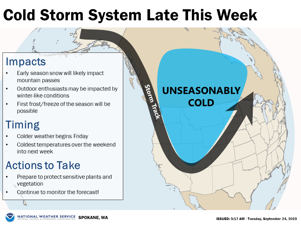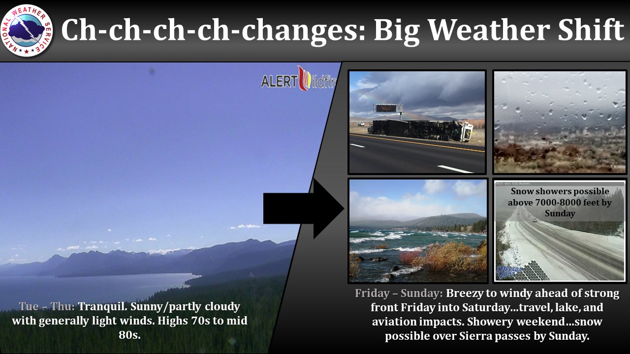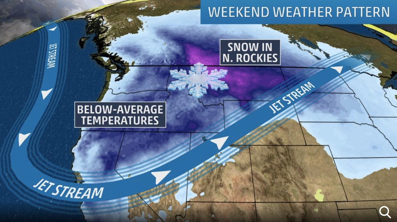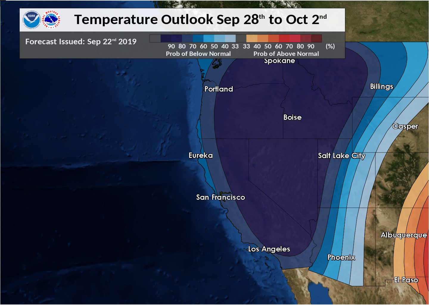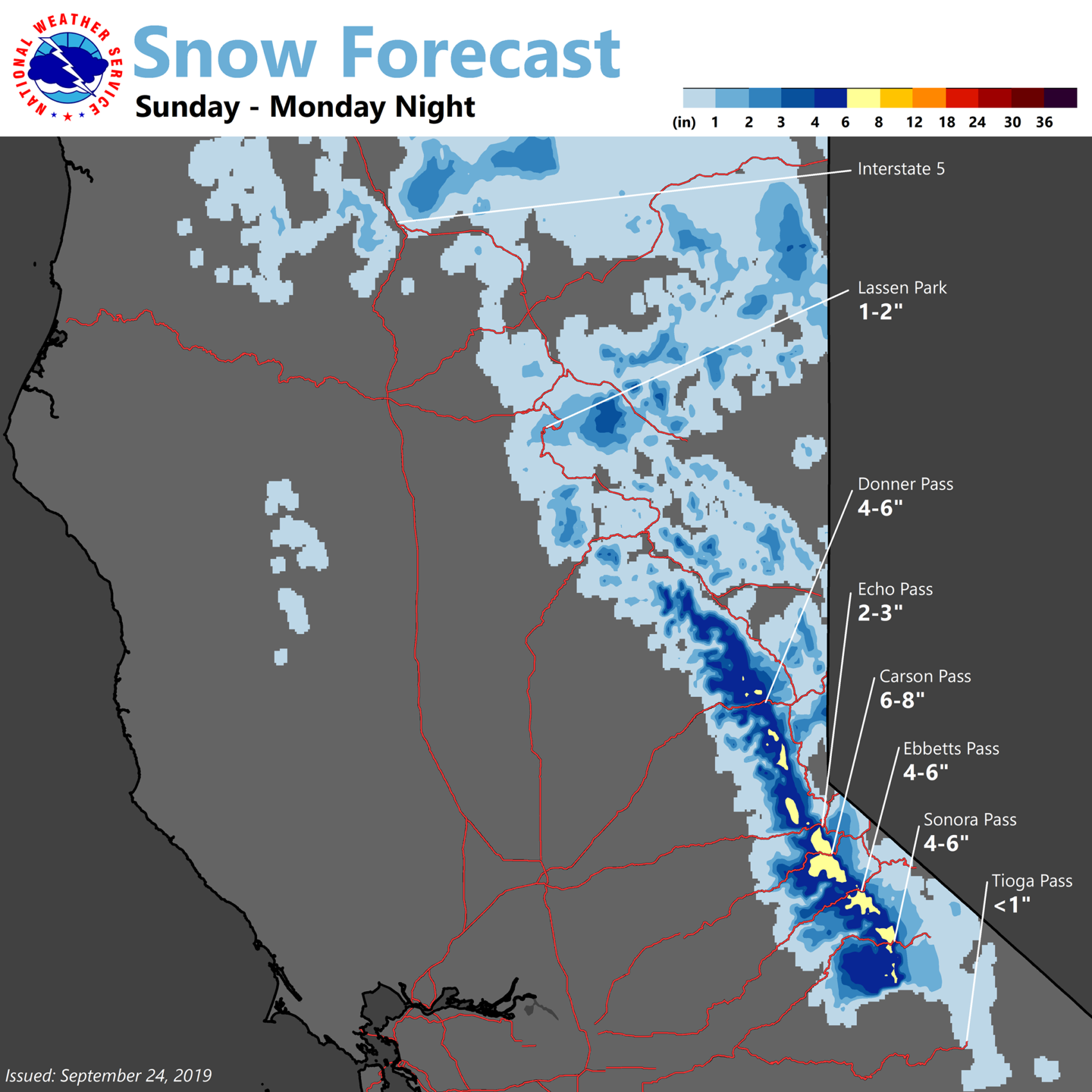
NOAA is forecasting 4-6″ of snow to fall in the Lake Tahoe, CA/NV area on Sunday – Monday.
Snow levels are forecast to drop as low as 6,500′ on Sunday.
This snowfall forecast map is even showing some snow in the Coast Range…
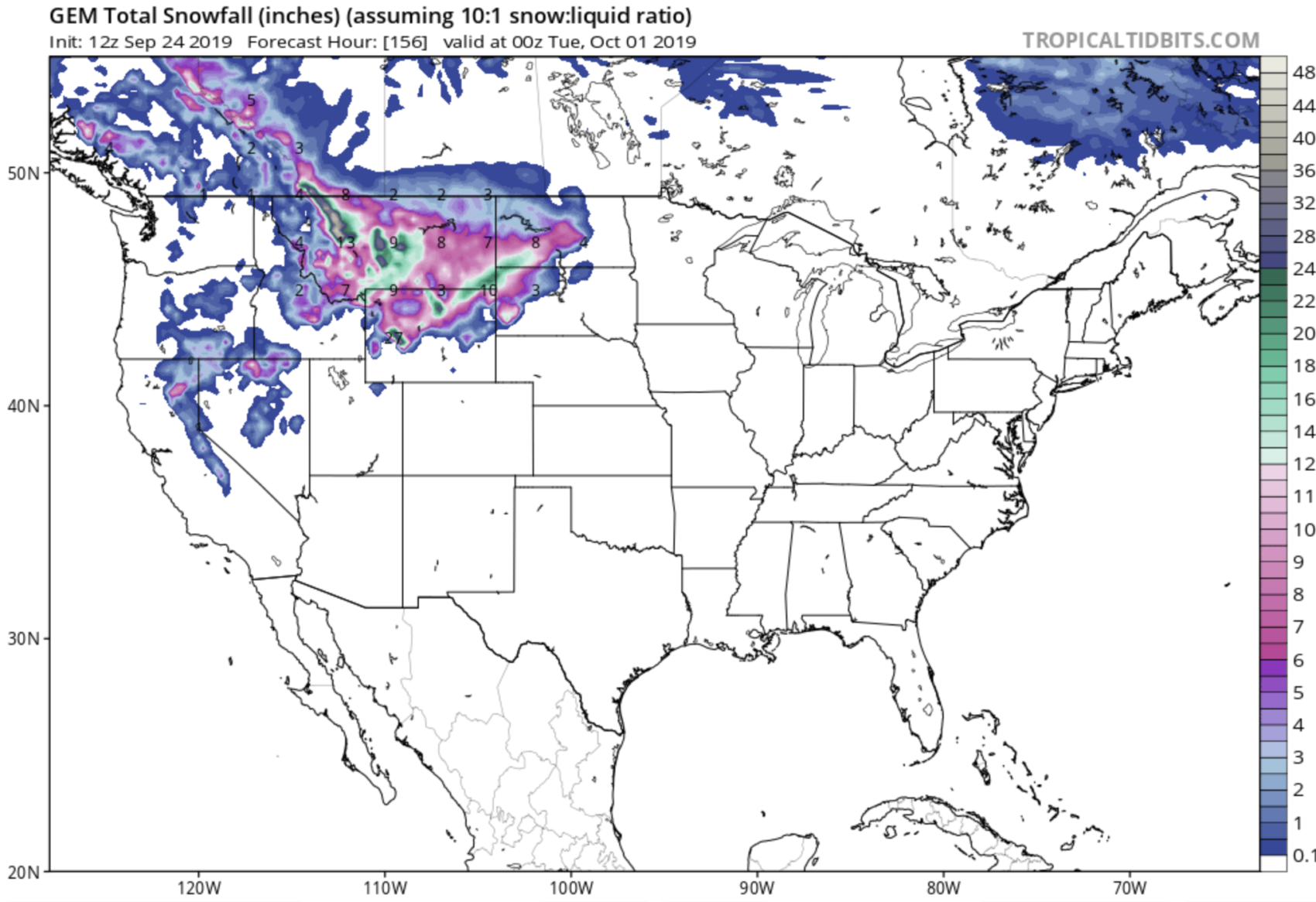
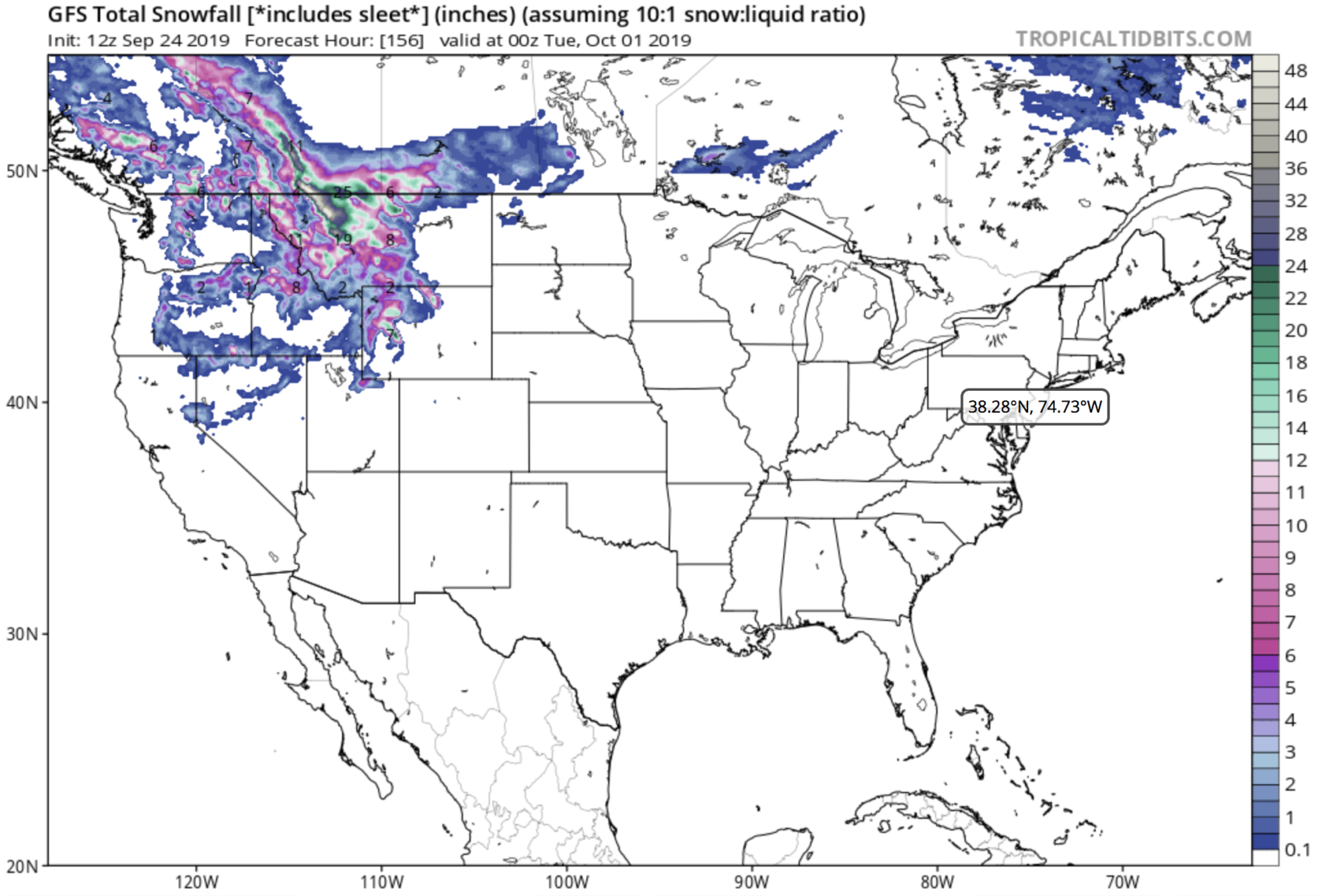
Both the GEM & GFS weather models agree on a decent amount of snowfall in California through Monday night (see models below).
CURRENT NOAA SNOW FORECAST SUNDAY-MONDAY:
- Carson Pass: 6-8″
- Donner Pass: 4-6″
- Sonora Pass: 4-6″
- Ebbetts Pass: 4-6:
- Echo Pass: 2-3″
- Lassen Park: 1-2:
- Tioga Pass: 1″
GEM WEATHER MODEL THRU MONDAY NIGHT:
Snow levels fall behind the cold
front Saturday with some accumulations possible down to 5000 feet in
northeast California and far northwest Nevada by late Sunday. The
Sierra is likely to see accumulations briefly as low as 6500 feet.
The models are in fairly good agreement that the upper low will retrograde Monday back to our area as a secondary shortwave rotates into the back side of the low. This would move colder air in and drop snow levels even more...maybe as low as 5500 feet in the Sierra north of Highway 50. There would be a brief period of precipitation early Monday which might cause some accumulation on the passes...but the precipitation cuts off rather quickly Monday afternoon. - NOAA, Reno NV, 9/24/19
GFS WEATHER MODEL THRU MONDAY NIGHT:
MORE WEATHER INFO:
