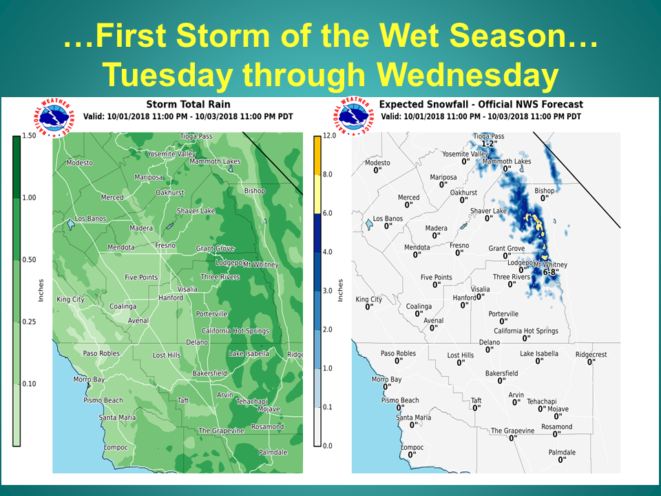
NOAA is forecasting 4-8″ of snow above 7,000′ for the southern Sierra Nevada mountains of California including Sequoia/Kings Canyon National Park, Yosemite National Park, Tioga Pass, Mammoth, and 14,495′ Mt. Whitney.
This will be the first snowfall of the season in California.
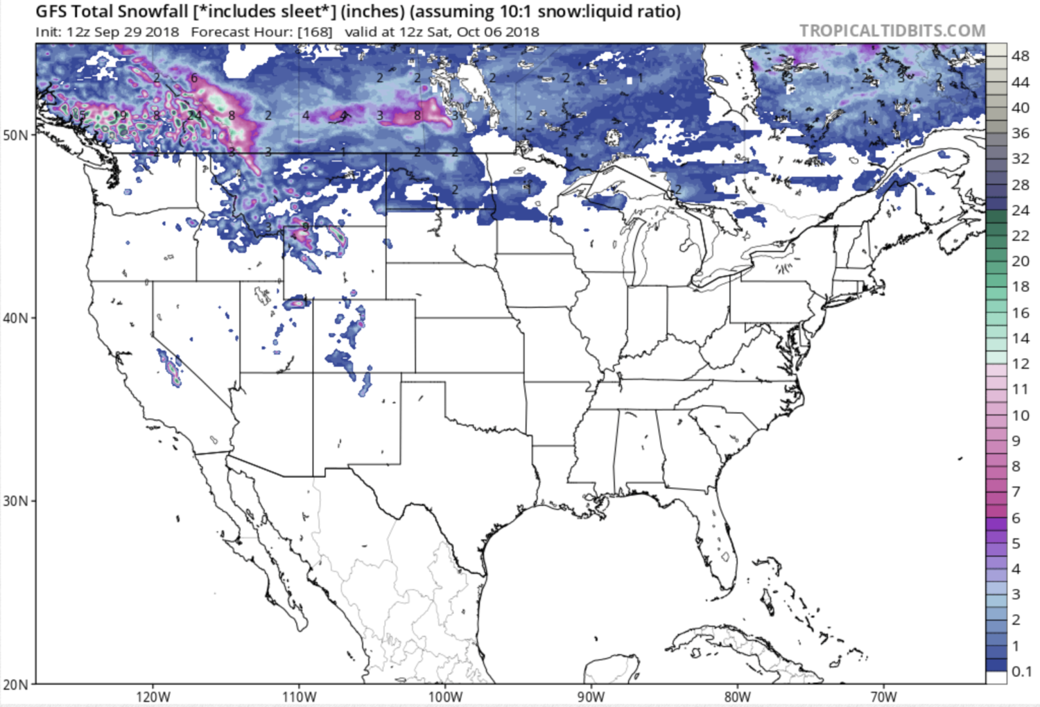
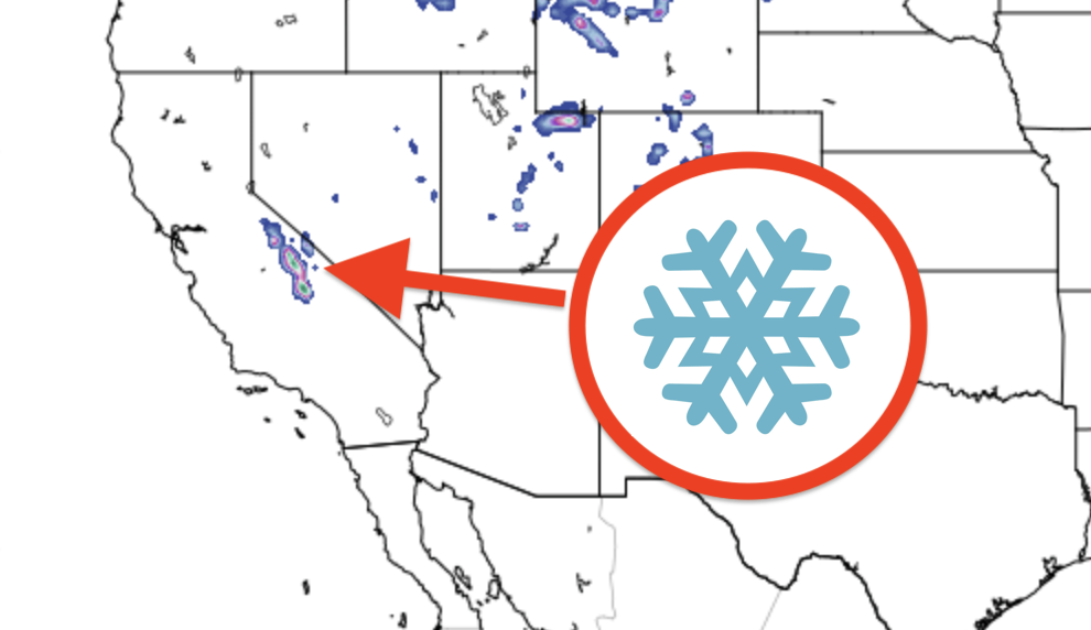
As you can see by the GPS map below, it looks like UT, CO, WY, MT, northern ME, and damn near all of Canada will get snow next week as well.
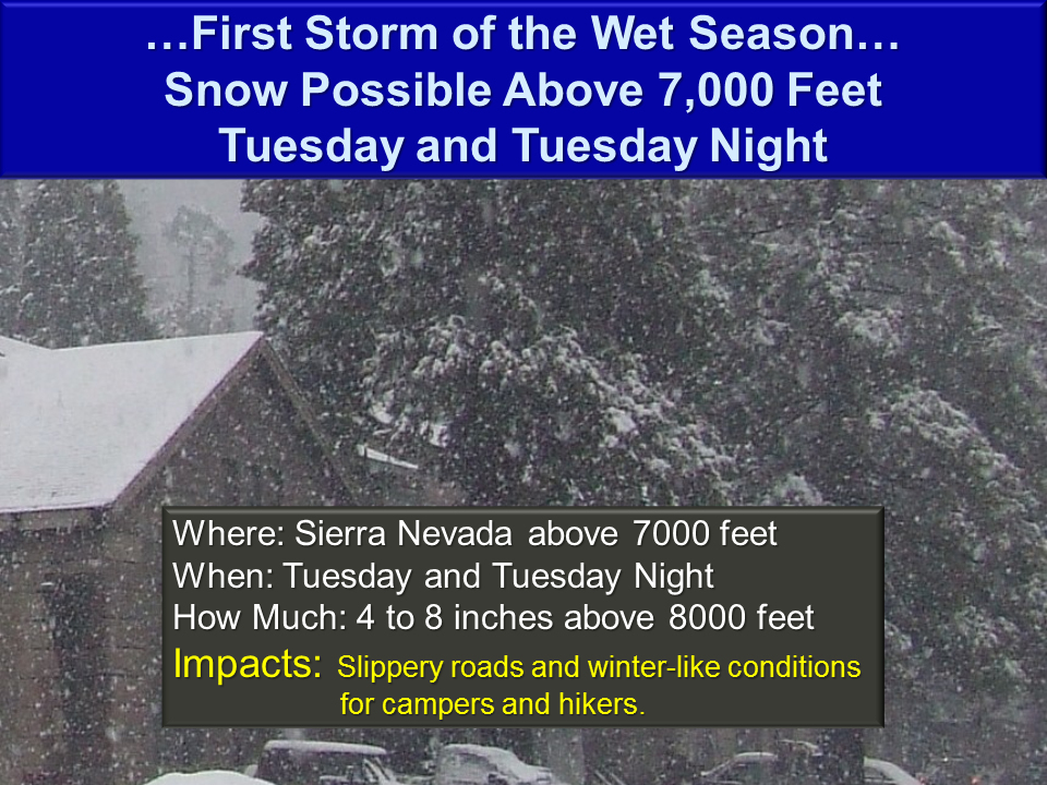
“First Storm of the wet season will increase chances for winter-like weather in the mountains Tuesday and Tuesday Night for the Sierra Nevada above 7,000 feet. 4 to 8 inches are possible above 8000 feet. A dusting to up to around 4 inches of snow will be possible above 7000 feet. This will bring winter like conditions to hikers and campers and may impact travel on mountain roads. Rapidly changing weather conditions are expected early next week as the storm system moves in on Tuesday and moves out by Wednesday. If hiking or camping, be prepared for rapidly changing weather conditions from Tuesday to Wednesday.” – NOAA Hanford, CA today
There is some talk of snow in Lake Tahoe as well next week, but it sounds like it’ll be a dusting at best.
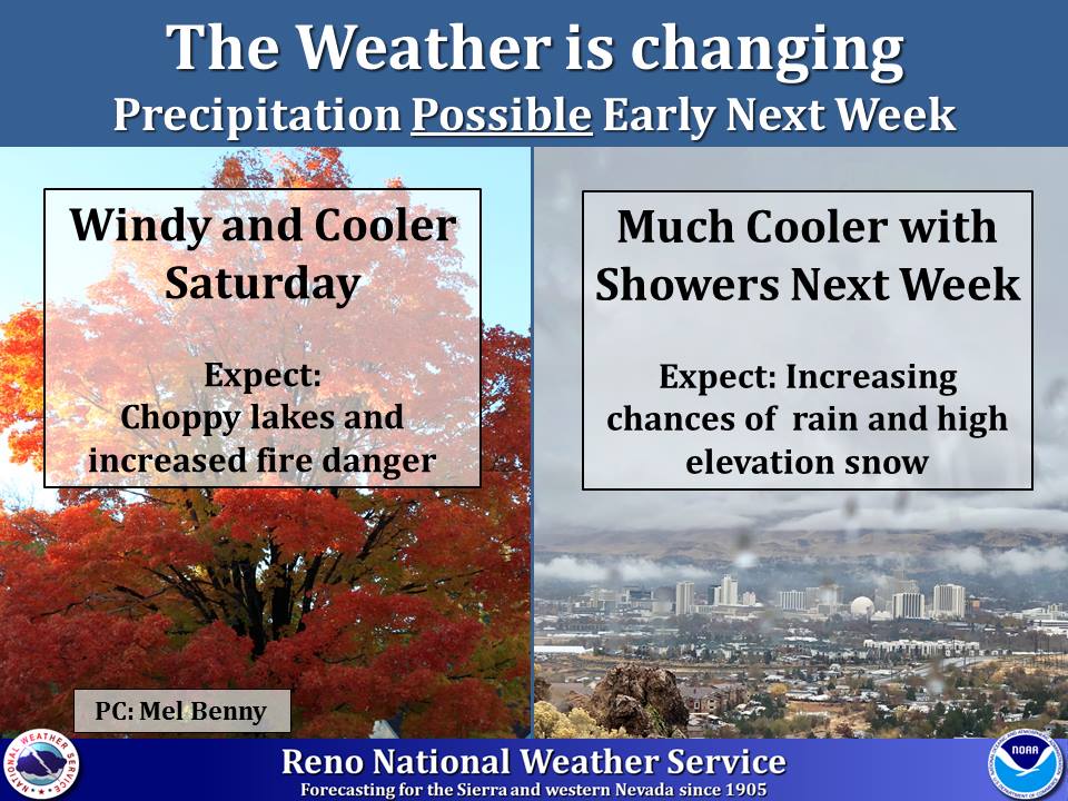
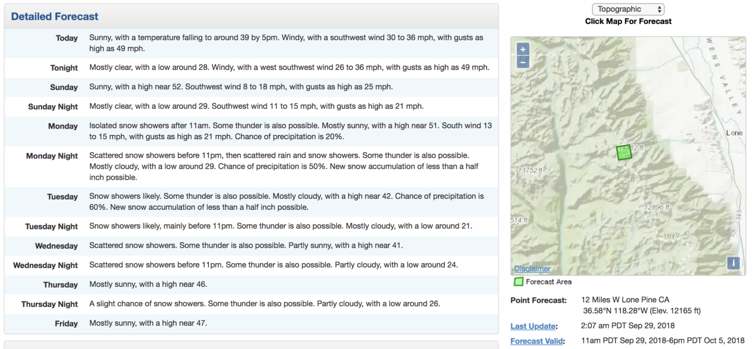
“By early next week temperatures are expected to cool to average or below average. There are also increasing chances for rain and high elevation snow. Fall is here, be prepared.” – NOAA Reno, NV on Sept. 27th, 2018

FORECAST DISCUSSION
for
Lake Tahoe & Mammoth Lakes:
.LONG TERM...Wednesday through next weekend...

A few changes were made to the long term with cool and showery
weather early, then drying out late in the week. The models are
still a bit divergent for the ejection of the low Wednesday with
the EC slower and wetter. Trended pops upward for Wednesday and
cooled temperatures also. It looks more showery so even if the EC
is right it won`t be a washout. Snow levels still look to remain
closer to 10,000 feet.

Thursday is where the biggest changes lie as the models and
ensembles are in better agreement in bringing a slider type system
through. The GFS is now a bit drier and farther east with the EC
being colder and wetter. The wetter solution would not surprise
me if the EC track is correct as unlike most sliders this will
have moisture to work with ahead of the front too. At this point,
kept snow levels 9000 feet or so, but they could drop to 7000-8000
feet depending on how far west the system tracks." - NOAA Reno, NV today
