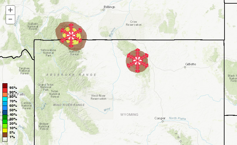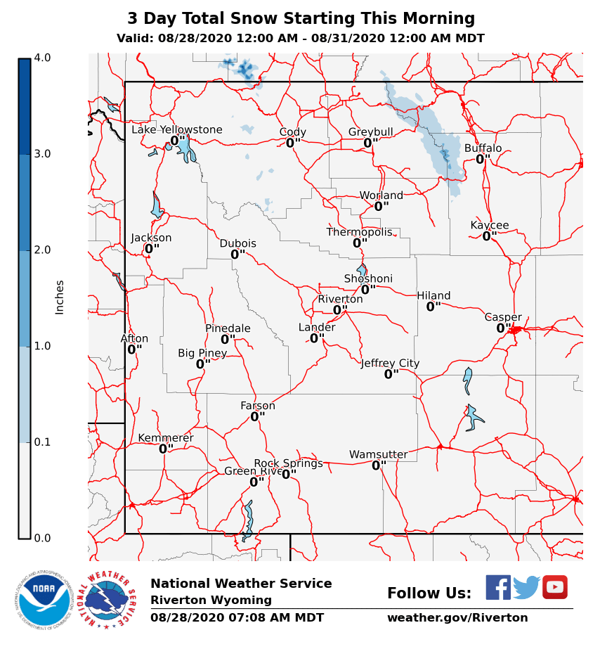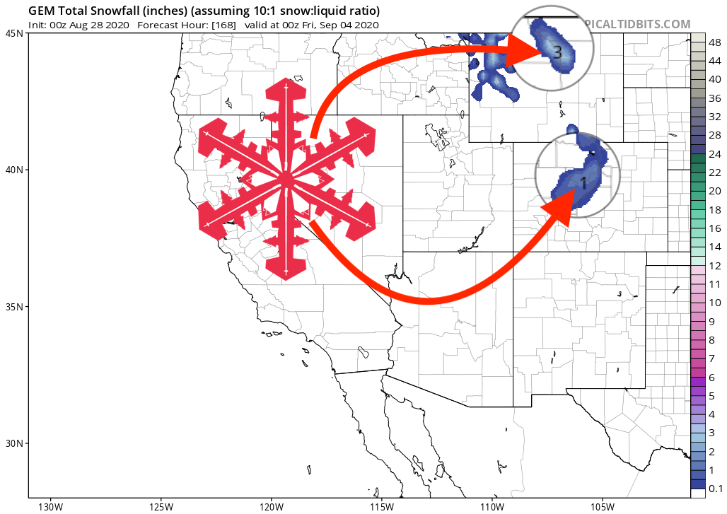
Summer might still be with us, but that doesn’t mean it can’t snow. After all, it is 2020, so anything’s possible. The NOAA has issued a hazardous weather outlook and is calling for the potential of snow in northern Wyoming above 10,000-feet and to the mountains of Montana, dropping as low as 6,500-feet in Glacier National Park.
Wyoming - A strong cold front will quickly push south to the Continental
Divide Sunday ushering in much cooler weather to the region with a
chance of rain Sunday afternoon and Monday evening. The rain will
likely change to snow above 10000 feet with minor snow
accumulations possible in the northern mountains.
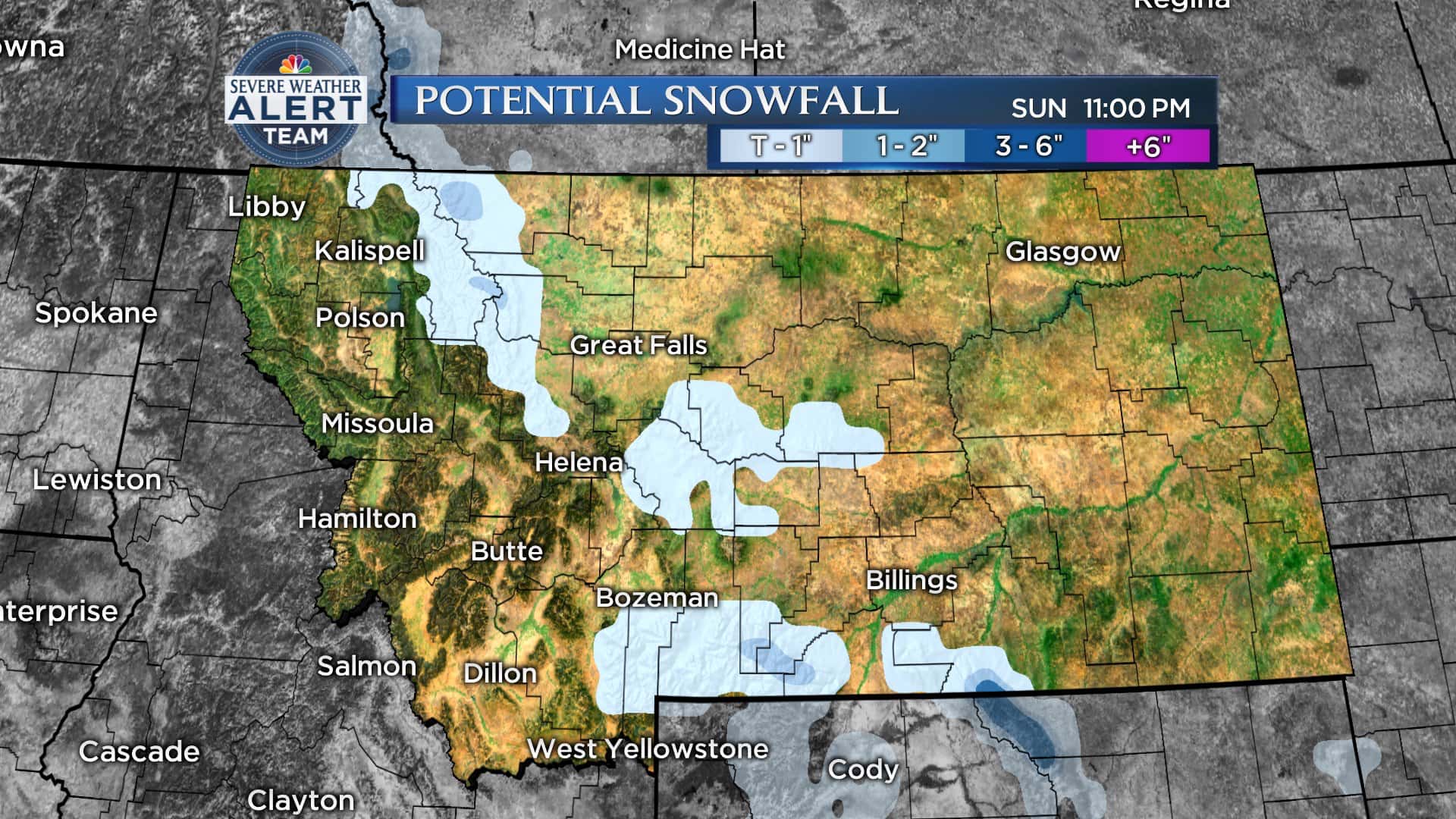
Montana - As far as precipitation is concerned, on Sunday scattered showers
will be mostly confined Northwest Montana and along the Divide.
Snow levels drop to around 6500 feet, so an inch or two of snow
is possible in Glacier NP. By Monday, a secondary disturbance will
bring a round of showers to much of the region.
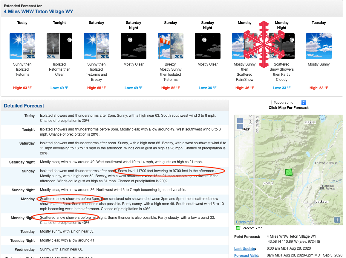
It won’t be much, if anything, and it’s not like we’ll be out making turns, but it’s a pleasant reminder that winter is just around the corner.
The NOAA forecast discussion explains:
By Sunday evening the cold front should be across southern
Wyoming. While models have trended drier, the best chance for
appreciable precipitation with this wave will be across northern
and eastern areas through midnight. With much cooler post-frontal
temperatures some of this will fall as snow across higher
elevations during this time, mainly above 9,500 feet in the
Bighorns. Monday morning lows are expected to be cool everywhere,
but especially across western Wyoming where a freeze is still
looking possible with clearing skies. Similarly, a much cooler
Monday afternoon is expected with highs generally in the 60s and
70s across the forecast area.
