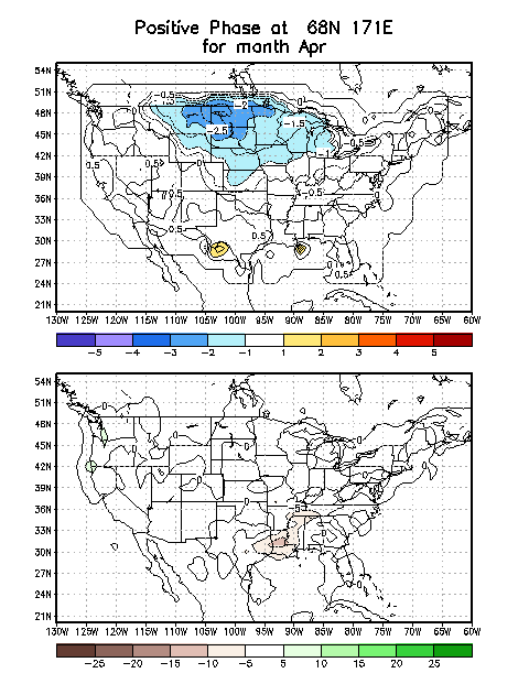
We continue to favor below-normal temperatures and anticipate related cold-weather hazards stretching from the Northern Plains through Great Lakes during early April.
This potential cold is related to anomalous 500-hPa ridging forecast over the Bering Sea and a downstream trough over Hudson Bay that will likely help drive Arctic air southward.
Typically observed mid-level circulation and surface temperature anomalies from this ridge/trough combination are also shown here.


