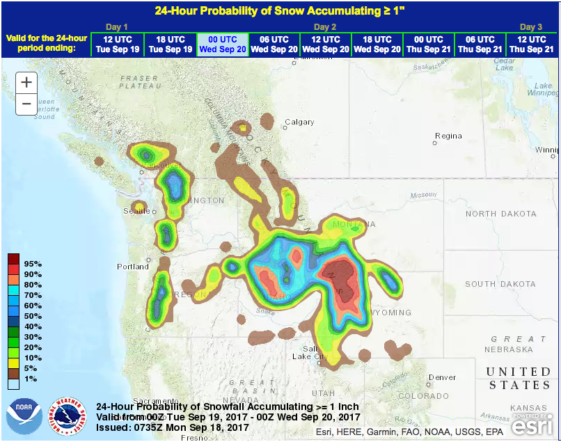
NOAA is forecasting snow in Utah’s mountains this week.
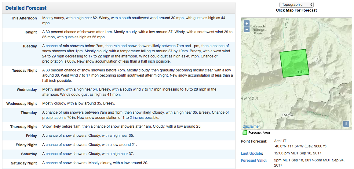
They’re talking about ‘significant snowfall’ Thursday – Sunday.
Significant snowfall is possible in the northern and central mountains from
this extended period of cold wet weather. - NOAA SLC, UT today
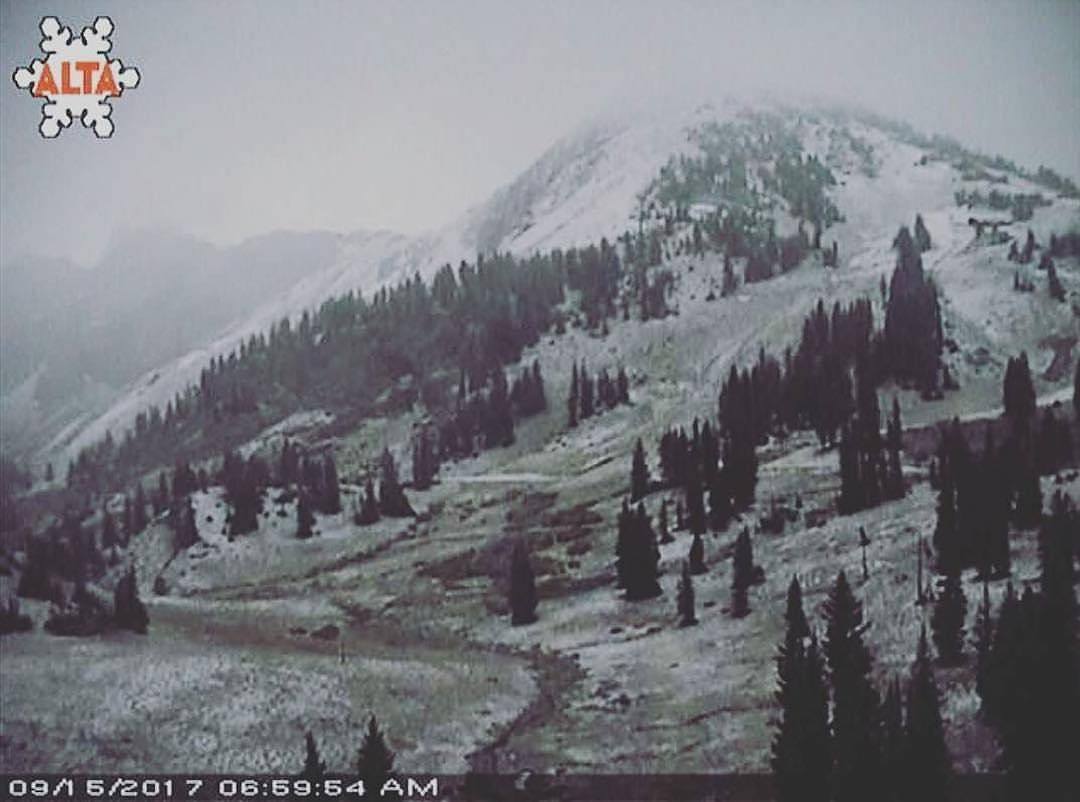
This will be at least Utah’s second snowfall of the year after they saw snow stick on Saturday, September 16th, 2017.

Hazardous Weather Outlook for Utah:
Hazardous Weather Outlook...CORRECTED
National Weather Service Salt Lake City UT
528 AM MDT Mon Sep 18 2017

This Hazardous Weather Outlook is for the western two thirds of
Utah and southwest Wyoming.

.DAY ONE...Today and Tonight

Windy and warmer weather is expected today with highs reaching
above seasonal normals.

.DAYS TWO THROUGH SEVEN...Tuesday through Sunday

A cold front will cross the northern outlook area Tuesday bringing
another round of cooler temperatures. Light snow accumulations
will be possible across the northern mountains above 8000 feet.

A colder storm is forecast to move into the outlook area on
Thursday and linger through the weekend. Significant snowfall is
possible in the northern and central mountains from this extended
period of cold wet weather.

