“Satellite imagery is looking more like March than June!
A weather system in the eastern Pacific Ocean is likely to bring rain to much of Northern California Thursday into Friday.” – NOAA Sacramento, CA today
Snow is still on track for this weekend in California’s High Sierra!
NOAA is saying this storm ‘could be substantial for early June.’
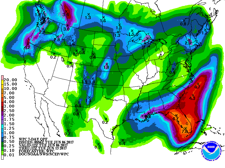
“An early look at the upcoming forecast precipitation over Norcal from late Wednesday into the weekend.” – NOAA Sacramento, CA today
Mammoth and Squaw will be open this weekend and will both likely experience mini powder days on Sunday. We can tell you from experience that these mini powder days at Mammoth and Squaw are dangerously fun…
"Northeast California and the northern Sierra
still have the best precipitation potential...and this could be
substantial for early June. Snow levels could drop to around 8000
feet or lower by Friday night/Saturday morning" - NOAA Reno, NV today

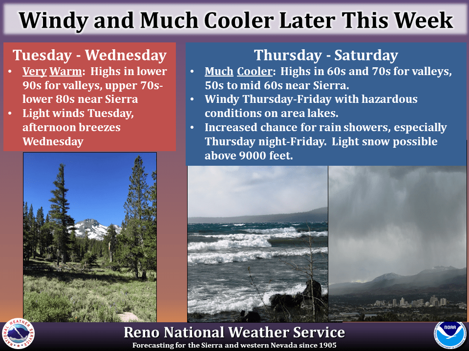
“This June won’t be all warm summer days! After dry and very warm conditions through Wednesday, a change to cooler, windy and wetter weather is expected starting Thursday as a late spring storm moves into the Pacific Northwest and northern California. Gusty winds will continue through Friday, resulting in hazardous conditions on area lakes, with below average temperatures Friday continuing into the weekend. The potential for rain showers will also increase Thursday through Saturday, with the highest chances Thursday night and Friday. Some light snow is even possible above 9000 feet, although significant travel impacts are unlikely.” – NOAA Reno, NV today
