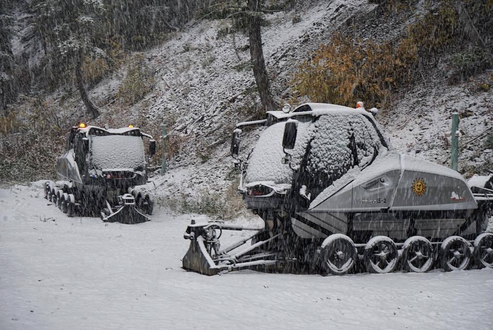
The National Weather Service is forecasting that snow will move into Idaho tonight and persist through the weekend. Several inches of snow is possible in the mountains. It will give the area its first taste of winter.
“BREAK TODAY, BUT NEW STORM ON THE WAY!
Fri 10/05/18 6:25 AM: While most of SE Idaho will see a break today, our next storm system is expected to bring rain and snow showers for both Saturday and Sunday. Some snow may make it down to our higher-elevation highways both Saturday and Sunday mornings!”
– NOAA Pocatello, ID Today
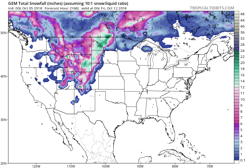
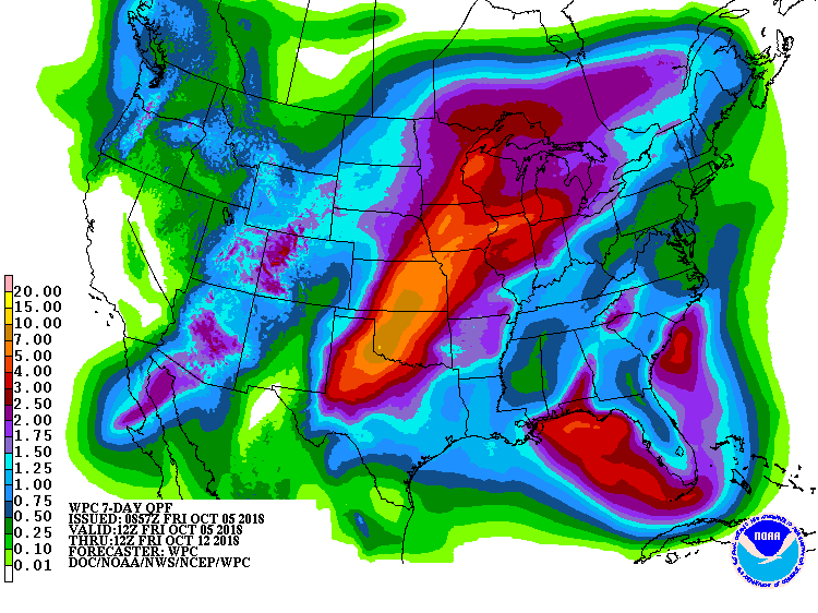
Snow will mainly be confined to the mountains above 7,000ft, but some may make it down to the higher-elevation highways.
Additional Storm Info:
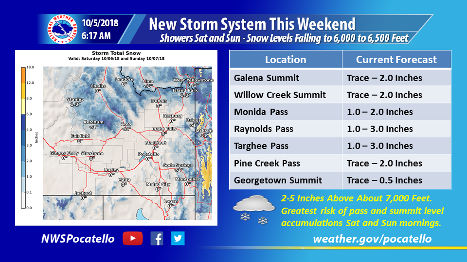

Idaho: Snow Will Move In Today & Persist Through The Weekend
* A low pressure system will move onto the Pacific
  Northwest coast tonight and into the western
  Great Basin on Saturday. Precipitation will
  begin to move through the central Idaho mountains
  tonight with snow possible above 7000 feet.
- NOAA Today
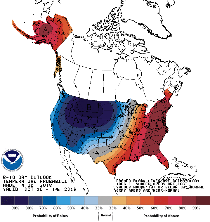
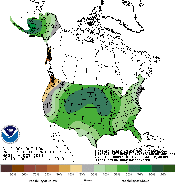
The 6-10 day outlook calls for above average precipitation and below average temperatures in Idaho.
Forecast Discussion:
A low pressure system will move onto the Pacific Northwest coast
tonight and into the western Great Basin on Saturday. Precipitation
will begin to move through the central Idaho mountains tonight with
snow possible above 7000 feet. Expect showers to persist across the
central mountains into the upper Snake highlands on Saturday while a
second batch of precipitation will develop across south central
Idaho and advance eastward through the southern highlands. Much of
the Snake Plain and Magic Valley could see quite a bit of dry time
on Saturday. Snow levels are expected to climb to around 7500 feet
for Saturday afternoon. By Saturday night the low will move into
northern Utah. Winds around the low will help to push these showers
off of the terrain and out into the Snake Plain and Magic Valley.
Models, especially the NAM, are showing an enhanced band of
precipitation developing across the southern highlands Saturday
night. If this occurs some locations could see a quarter to half an
inch of rain across the southern highlands, from around Malta to
Inkom. Somewhat "heavier" amounts may be possible around American
Falls and Pocatello as well, possibly up to a quarter of an inch.
Snow levels Saturday night should remain around 7000 feet. Showers
will gradually end on Sunday as the low drops southwards into
Arizona. Ridgetops across the central Idaho mountains could see
several inches of snow, while ridges across southeast Idaho might
see an inch or two.
