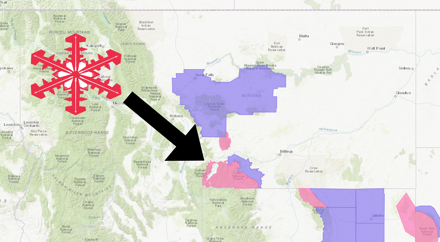
The National Weather Service has issued a Winter Storm Warning for Montana.
It’s in effect until 10:00am Thursday morning.
High winds and heavy snowfall are expected to impact the area throughout that time.
Montana:
- 12+” of Snow Today – Thursday Morning
- Winds Gusting As High As 35 MPH
“Cool and wet conditions will continue throughout the week. Another spring storm system will impact SE Montana through tomorrow, bringing widespread rain across the lower elevations, and wet snow near the foothills and especially the mountains.”
– NOAA Billings, MT
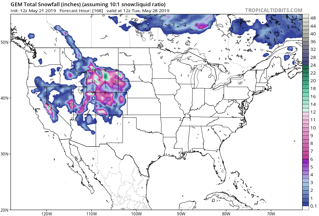
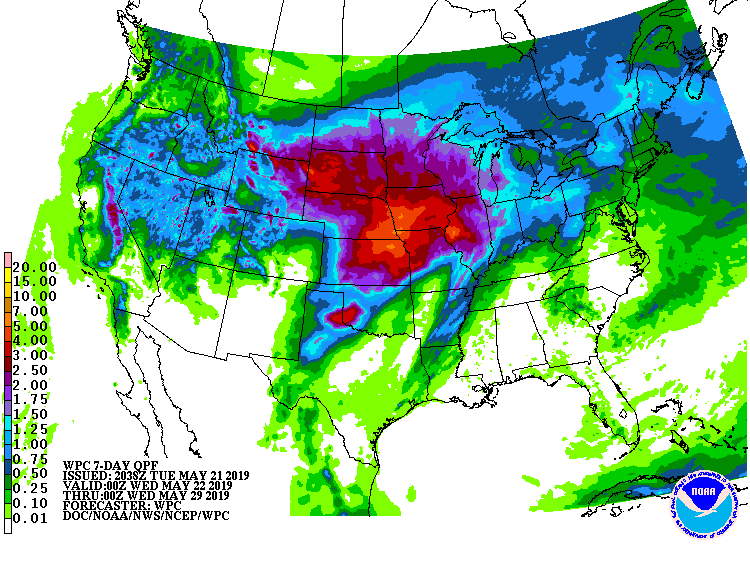
The heaviest snow accumulations will be at elevations great than 6,500ft.
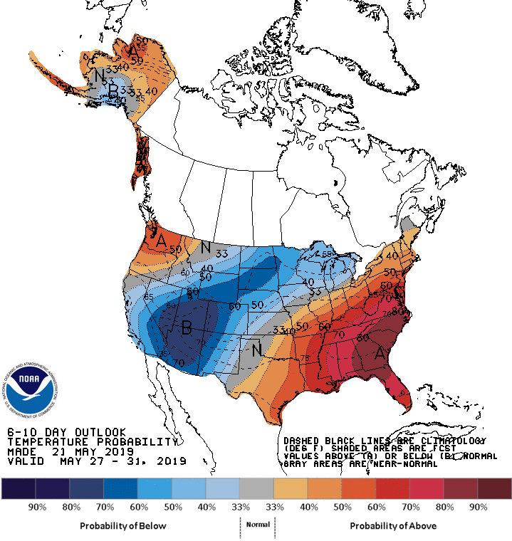
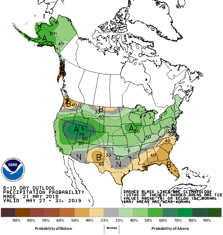
The 6-10 day outlook calls for above average precipitation and below average temperatures in Montana.
Additional Storm Info:
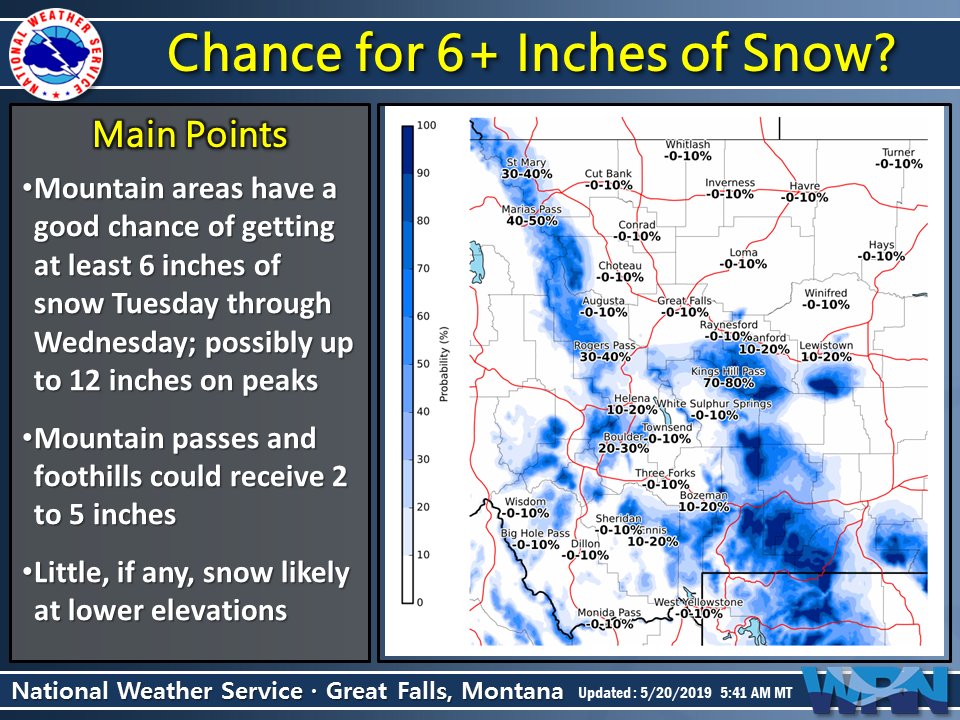
Montana: 12+” of Snow Today – Thursday Morning
* Heavy snow expected. Wet snow accumulations over a foot.
- NOAA Billings, MT
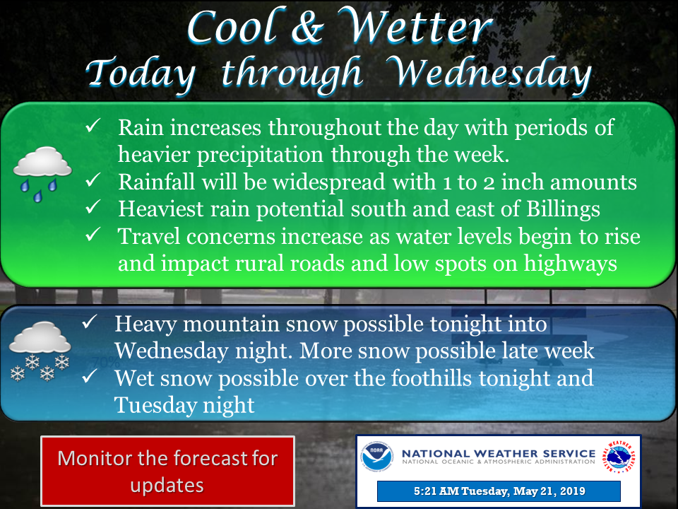
Winter Storm Warning:
URGENT - WINTER WEATHER MESSAGE
National Weather Service Billings MT
239 PM MDT Tue May 21 2019

Absaroka/Beartooth Mountains-Crazy Mountains-
Northeast Bighorn Mountains-
Including the locations of  Cooke City and Burgess Jct

...WINTER STORM WARNING REMAINS IN EFFECT UNTIL 10 AM MDT
THURSDAY...

* WHAT...Heavy snow expected. Wet snow accumulations over a
  foot. Winds gusting as high as 35 mph. Highest accumulations
  above 6500 ft on northeast facing slopes.

* WHERE...In Wyoming, Northeast Bighorn Mountains. In Montana,
  Absaroka/Beartooth Mountains and Crazy Mountains.

* WHEN...Until 10 AM MDT Thursday.

* ADDITIONAL DETAILS...Travel and back country conditions will
  be very hazardous. Power outages are possible.
