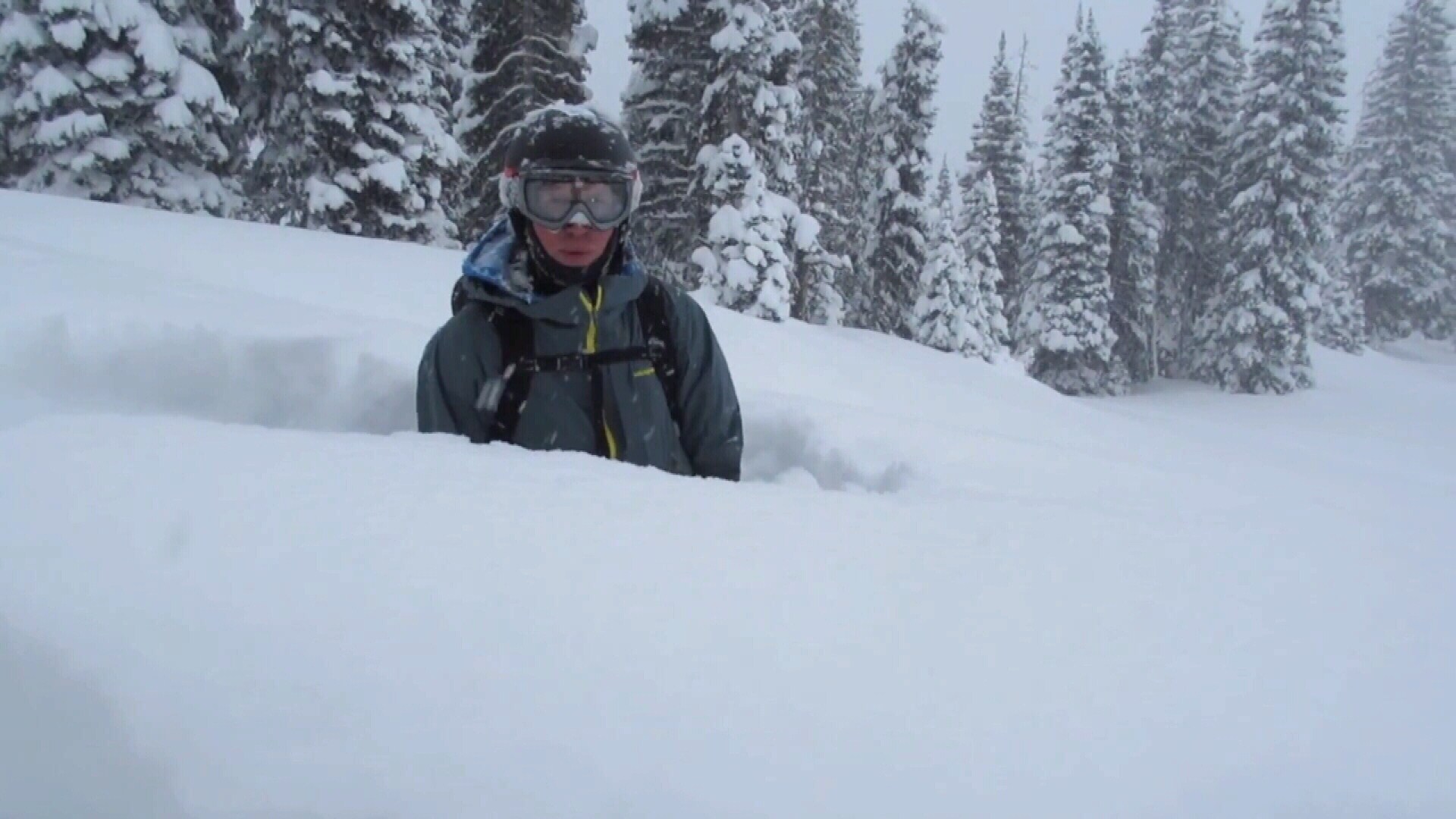
The National Weather Service has issued a Winter Storm Warning for Montana. It is in effect until 11:00am Wednesday Morning. Heavy snow and high winds are expected to impact the area. Persistent snowfall throughout this time could lead to snow accumulations of up to 4 FEET.
18-24″ of Snow, With Up To 48″, Through Wednesday Morning In Montana.
NOAA Has Issued A Winter Storm Warning For:
- Montana


This storm is expected to be relatively cold, so the forecast is calling for snow at all elevations, but the heaviest accumulations will occur at the highest elevations.
Additional Storm Totals:


Montana: 18-24″ of Snow, With Up To 48″, Through Wednesday Morning
* Total snow accumulations of 18 to 24 inches, with localized
  amounts up to 48 inches at the highest elevations, are expected.
- NOAA MT


MT Winter Storm Warning:
URGENT - WINTER WEATHER MESSAGE
National Weather Service Great Falls MT
310 AM MST Sun Dec 17 2017

Northern Rocky Mountain Front-
Including the following locations Logan Pass, Marias Pass,
Browning, and Heart Butte

...WINTER STORM WARNING IN EFFECT Until 11 AM MST WEDNESDAY...

* WHAT...Heavy snow and areas of blowing snow expected. Travel
 will be difficult. Damage to trees and power lines is possible.
 Total snow accumulations of 18 to 24 inches, with localized
 amounts up to 48 inches at the highest elevations, are expected.

* WHERE...Northern Rocky Mountain Front, including Marias Pass.

* WHEN...From 5 PM this afternoon to 11 AM MST Wednesday.

* ADDITIONAL DETAILS...Be prepared for significant reductions in
 visibility at times.
