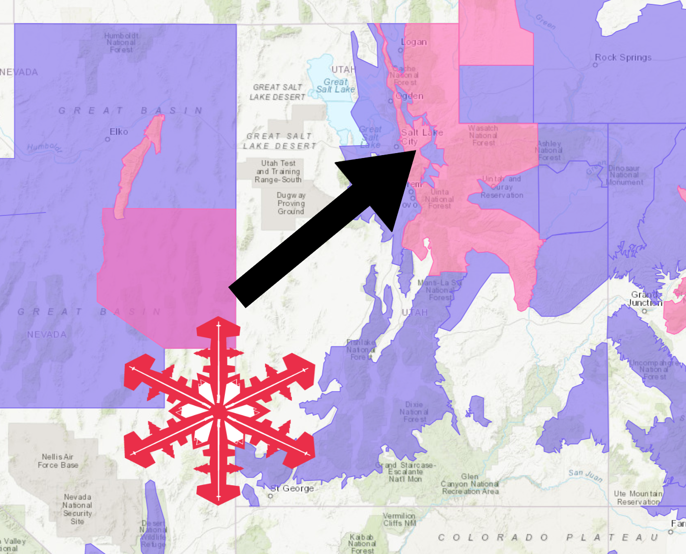
The National Weather Service has issued a Winter Storm Warning for Utah. It’s in effect until 5:00pm Friday evening. Heavy snowfall and high winds are forecasted to impact the area throughout that time.
Utah:
- 15-30″ of Snow Today – Friday
“A winter storm will impact Utah Thursday into Friday. First, like many Utah storms, the mountains will experience snow from two different flow regimes. During the day Thursday, strong southwest flow will bring the heaviest precipitation to mountain locations favored in this flow regime. As the cold front crosses the state, northwest flow will develop. This will favor locations such as the Cottonwood Canyons. The next main point will be heavy mountain snow accumulations for the Wasatch Mountains. Expect 1 to 2 feet with locally higher amounts across the Wasatch Mountains by Friday night. Substantial amounts, 10-17 inches, can be expected for the central and southern Utah mountains. Finally, expect mainly valley rain ahead of the cold front through early Friday. Rain will change to snow behind the cold front and accumulating snow may impact the Friday morning commute across many valley locations.”
– NOAA Salt Lake City, UT
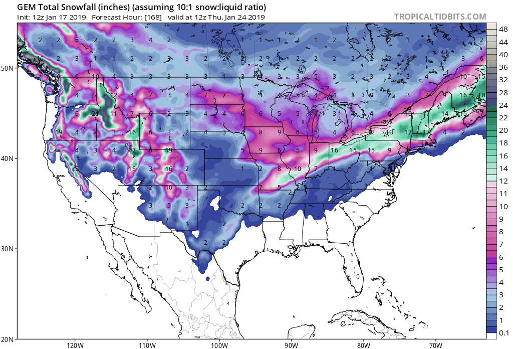
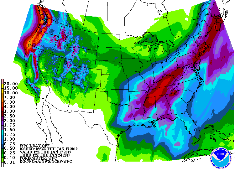
Snow is forecasted to fall at all elevations, but the heaviest accumulations will be in the mountains.
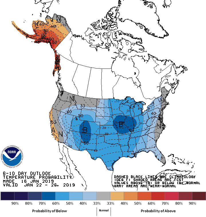
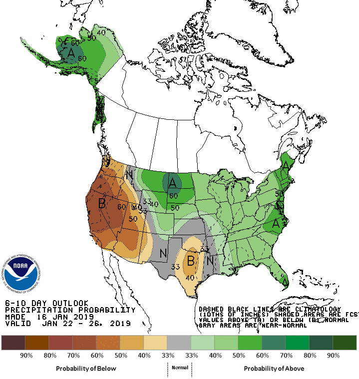
The 6-10 day outlook is calling for below averages temperatures and below average precipitation in Utah.
Additional Storm Info:
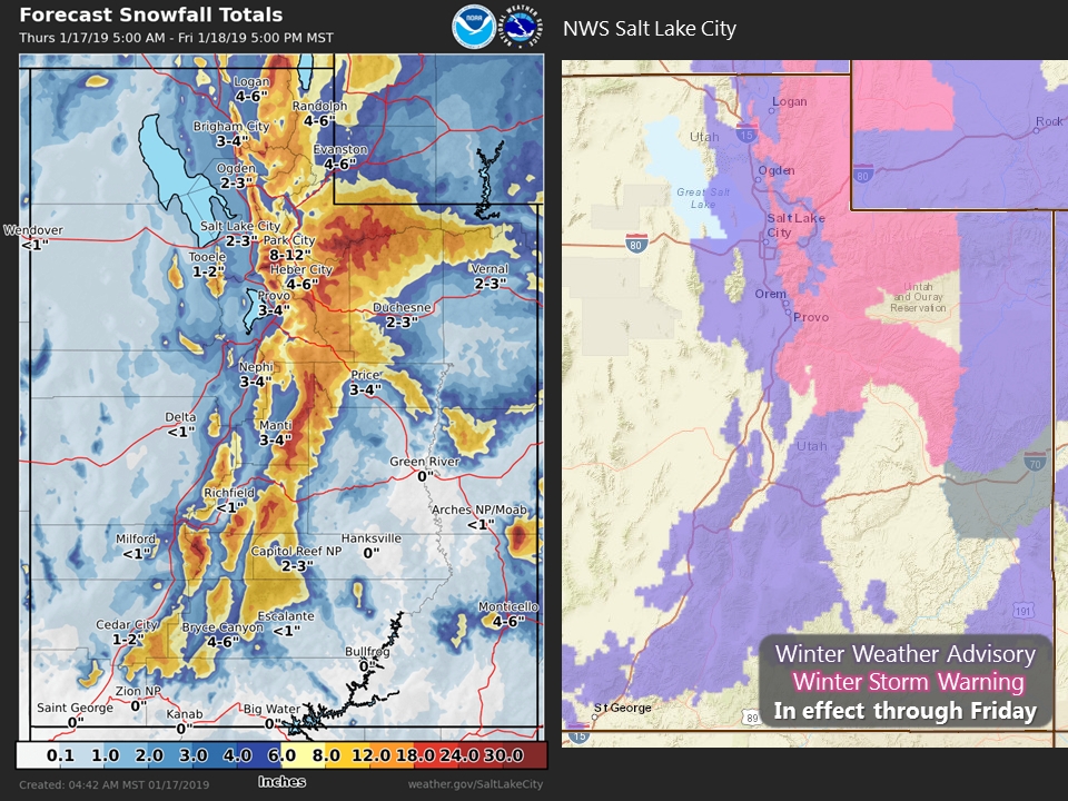
Utah: 15-30″ of Snow Today – Friday
* Heavy snow expected. Total snow accumulations of 4 to 8 inches
  mountain valleys and 15 to 30 inches in the mountains expected.
- NOAA Salt Lake City, UT
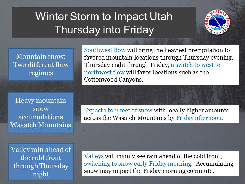
Winter Storm Warning:
URGENT - WINTER WEATHER MESSAGE
National Weather Service Salt Lake City UT
905 AM MST Thu Jan 17 2019

Wasatch Mountains I-80 North-Wasatch Mountains South of I-80-
Western Uinta Mountains-Wasatch Plateau/Book Cliffs-
Including the cities of Woodruff, Randolph, Alta, Brighton,
Mirror Lake Highway, and Scofield

...WINTER STORM WARNING REMAINS IN EFFECT UNTIL 5 PM MST FRIDAY...

* WHAT...Heavy snow expected. Total snow accumulations of 4 to 8
  inches mountain valleys and 15 to 30 inches in the mountains
  expected.

* WHERE...Wasatch Plateau/Book Cliffs, Western Uinta Mountains,
  Wasatch Mountains South of I-80 and Wasatch Mountains I-80
  North.

* WHEN...Until 5 PM MST Friday.

* ADDITIONAL DETAILS...Travel will be very difficult along all
  routes through the warned area.
