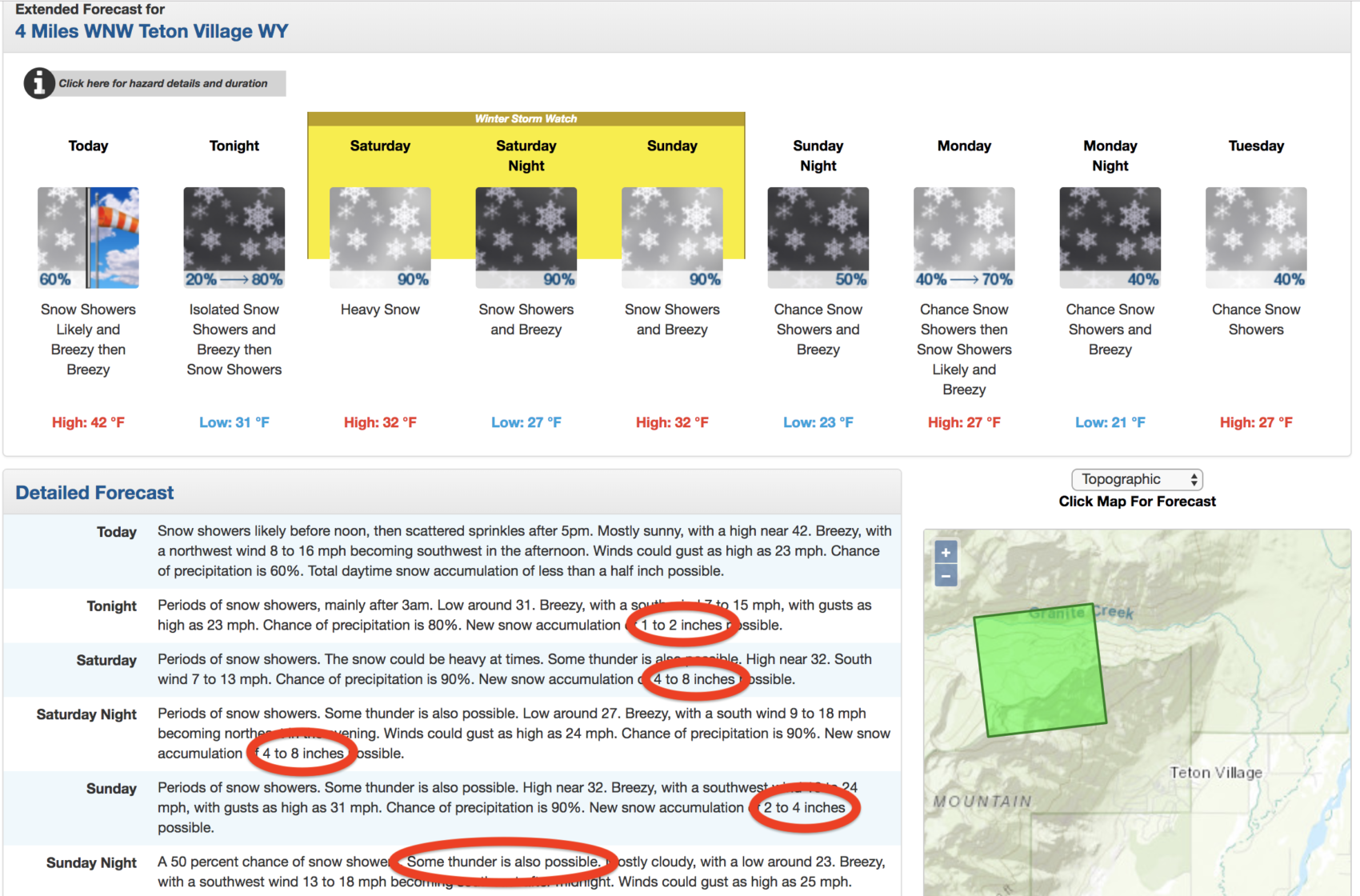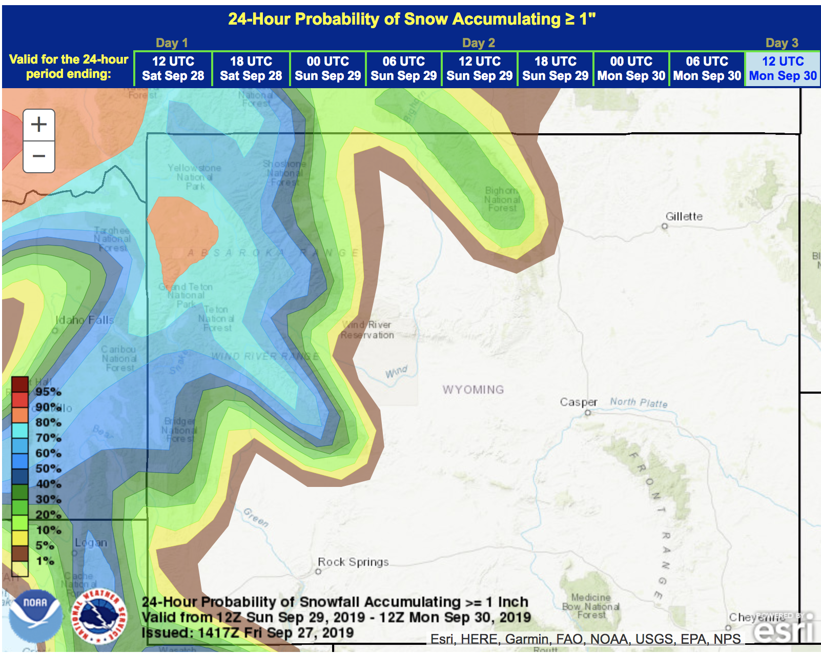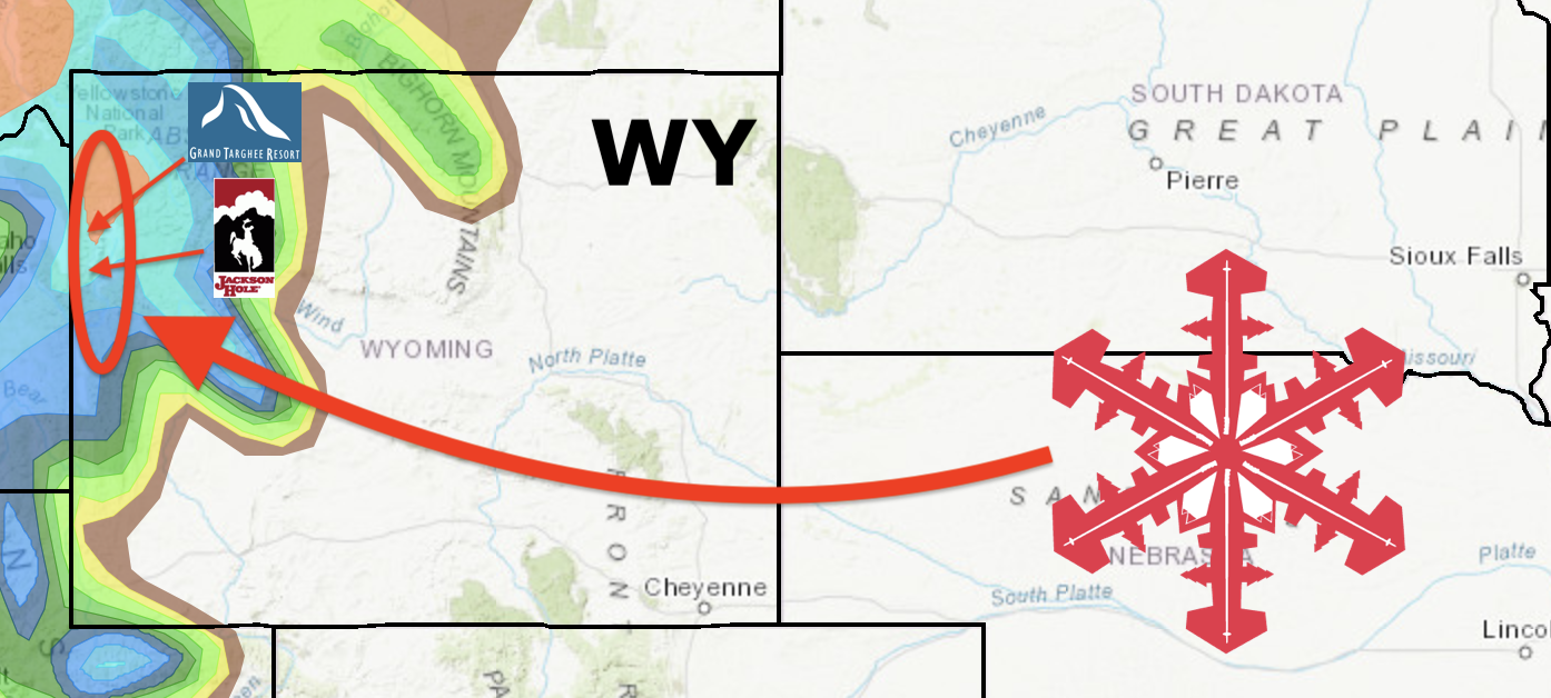
NOAA has issued a Winter Storm Watch for the Teton Mountains of Wyoming including Grand Targhee & Jackson Hole ski resorts on Saturday & Sunday.
NOAA is forecasting 5-10″ of snow between 8,500-10,000′ and 12-18+” of snow above 10,000′.
- Top of Jackson Hole = 10,450′
- Top of Grand Targhee = 9,862′
* WHAT...Heavy snow possible. Early snowfall forecasts are for 5
  to 10 inches possible between 8500 and 10000 feet, with 12 to
  18 inches above 10000 feet. Isolated higher amounts.

- NOAA, Riverton WY, 9/27/19
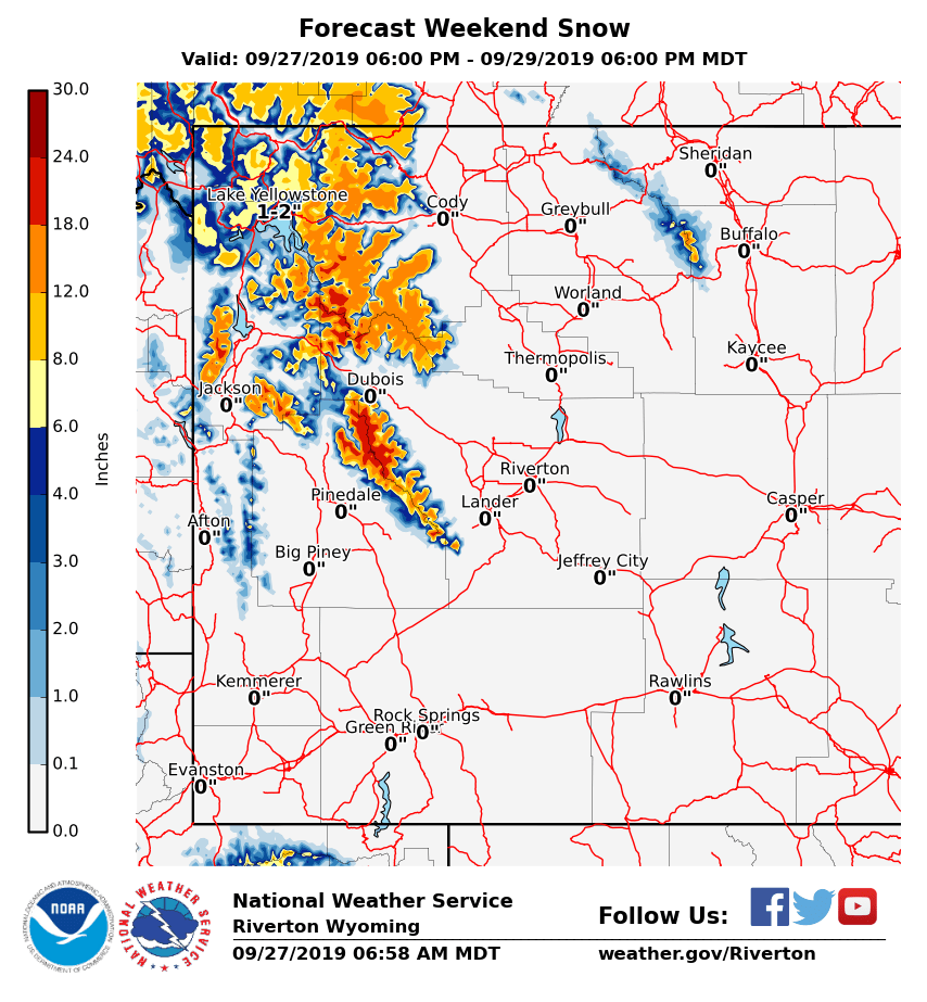
The Tetons have already seen a few of small storms that dropped a few inches of snow already this month, but this incoming storm is forecast to be the biggest storm of the season so far.
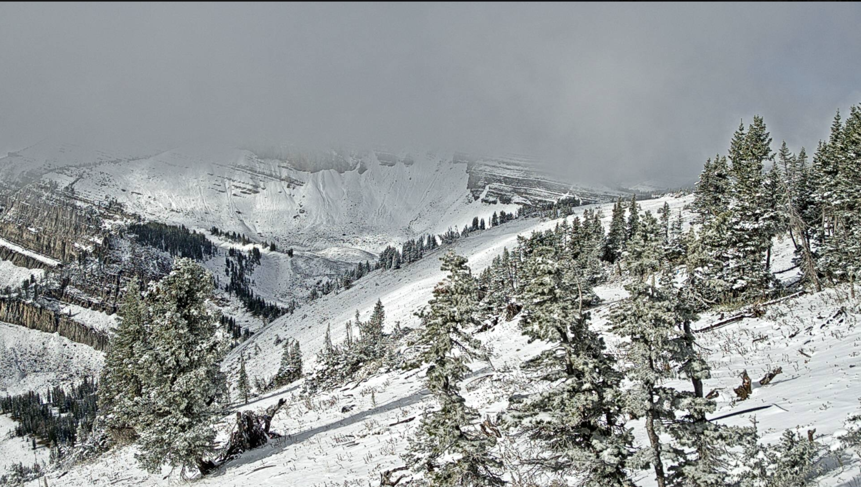
Jackson Hole’s Cody Bowl webcam is revealing a wintery scene already (photo below) today.
.A strong fall storm system is expected to bring significant
snowfall across the northwestern mountains of Wyoming. The
precipitation will begin early Saturday morning, and continue
through the day Sunday, before tapering off late Sunday. The
heaviest precipitation is expected to occur Saturday and Saturday
night. There remains quite a bit of uncertainty on the placement
of the heaviest precipitation, and the snow levels through the
event.

- NOAA, Riverton WY, 9/27/19
3-DAY GEM WEATHER MODEL:

3-DAY GFS WEATHER MODEL:

Winter Storm Watch for Teton Mountains
URGENT - WINTER WEATHER MESSAGE
National Weather Service Riverton WY
402 AM MDT Fri Sep 27 2019

...Winter Storm Watch over the Northwest Mountains from Saturday
morning through Sunday Afternoon.

.A strong fall storm system is expected to bring significant
snowfall across the northwestern mountains of Wyoming. The
precipitation will begin early Saturday morning, and continue
through the day Sunday, before tapering off late Sunday. The
heaviest precipitation is expected to occur Saturday and Saturday
night. There remains quite a bit of uncertainty on the placement
of the heaviest precipitation, and the snow levels through the
event.

Absaroka Mountains-Teton and Gros Ventre Mountains-
Wind River Mountains West-
402 AM MDT Fri Sep 27 2019

...WINTER STORM WATCH IN EFFECT FROM SATURDAY MORNING THROUGH
SUNDAY AFTERNOON...

* WHAT...Heavy snow possible. Early snowfall forecasts are for 5
  to 10 inches possible between 8500 and 10000 feet, with 12 to
  18 inches above 10000 feet. Isolated higher amounts. There
  remains quite a bit of uncertainty on the placement of the
  heaviest precipitation, and the snow levels through the event.

* WHERE...Absaroka Mountains, Teton and Gros Ventre Mountains and
  the western slopes of the Wind River Mountains.

* WHEN...Saturday morning through Sunday afternoon.

* IMPACTS...Travel could become difficult over Togwotee Pass. The
  top of Teton Pass could be slick at times. Hypothermia could
  occur for those unprepared for the cold and wet conditions.
  Severely low visibilities in heavy snow will be very
  disorientating.

* ADDITIONAL DETAILS...Campers, hikers, hunters and other back
  country enthusiasts in the mountains should be prepared for
  heavy, wet snow and unseasonably cold temperatures this weekend.
