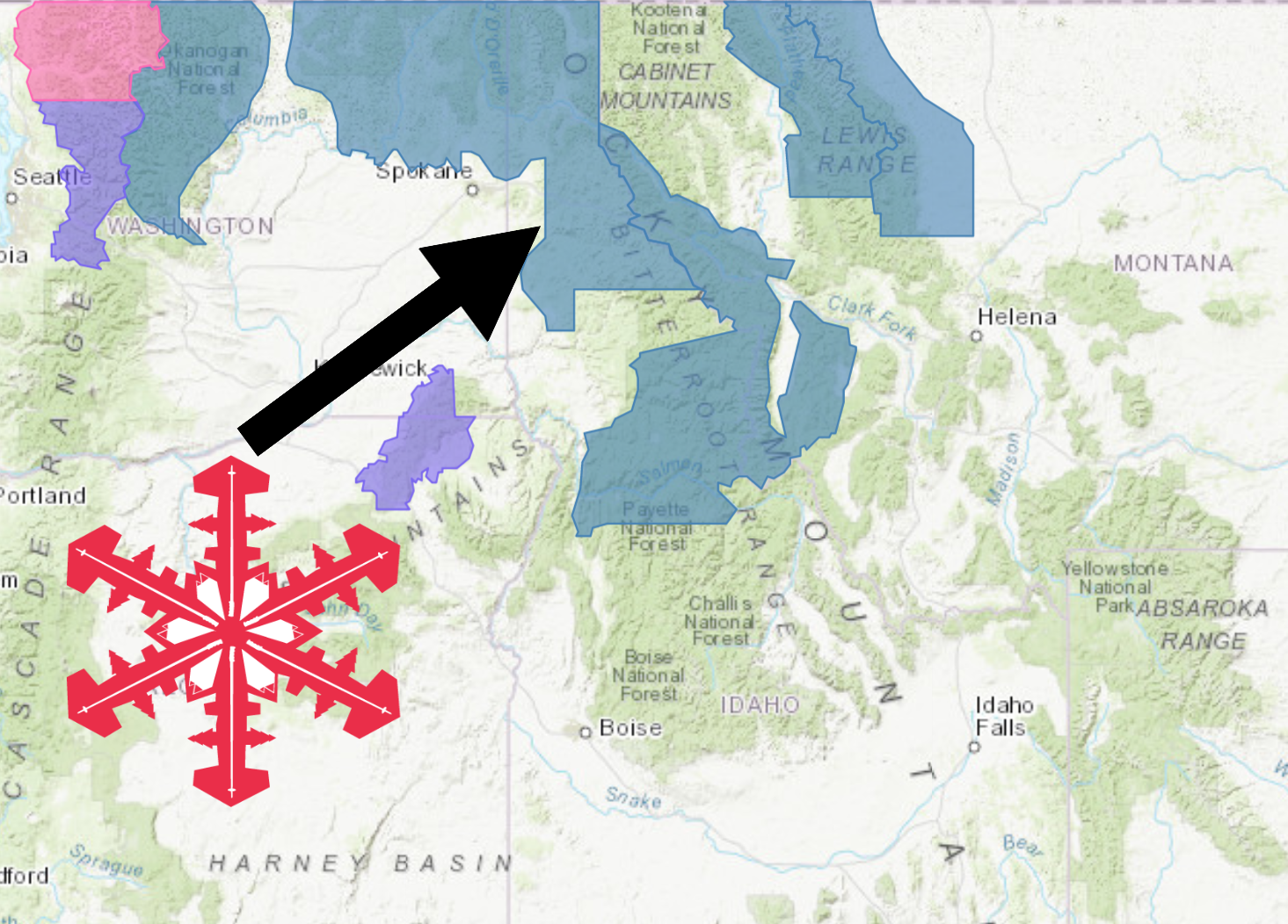
The National Weather Service has issued a Winter Storm Watch for Idaho. It’s in effect Tonight – Wednesday morning. High winds and heavy snowfall are forecasted to impact the area throughout this time.
Idaho:
- 12-20″ of Snow Tonight – Wednesday Morning
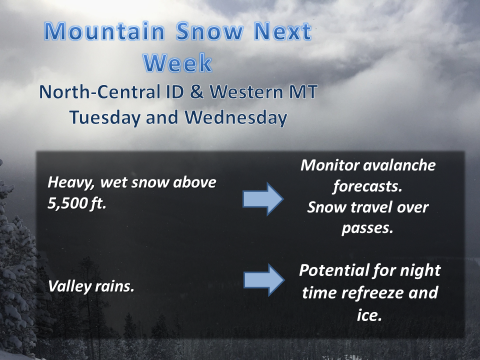
“An active weather pattern returns to the Northern Rockies starting Monday, with valley rain and mountain snow. A stronger system with a subtropical moisture tap, will impact the region Tuesday and Wednesday with heavy mountain snow at and above 5000 feet, while valleys will see mainly rain, with periods of a rain/snow mix. Plan on hazardous driving conditions over area mountain passes, with snow covered roads and low visibility. Another, cooler system arrives Friday, with a chance for light valley snow.”
– NOAA Missoula, MT
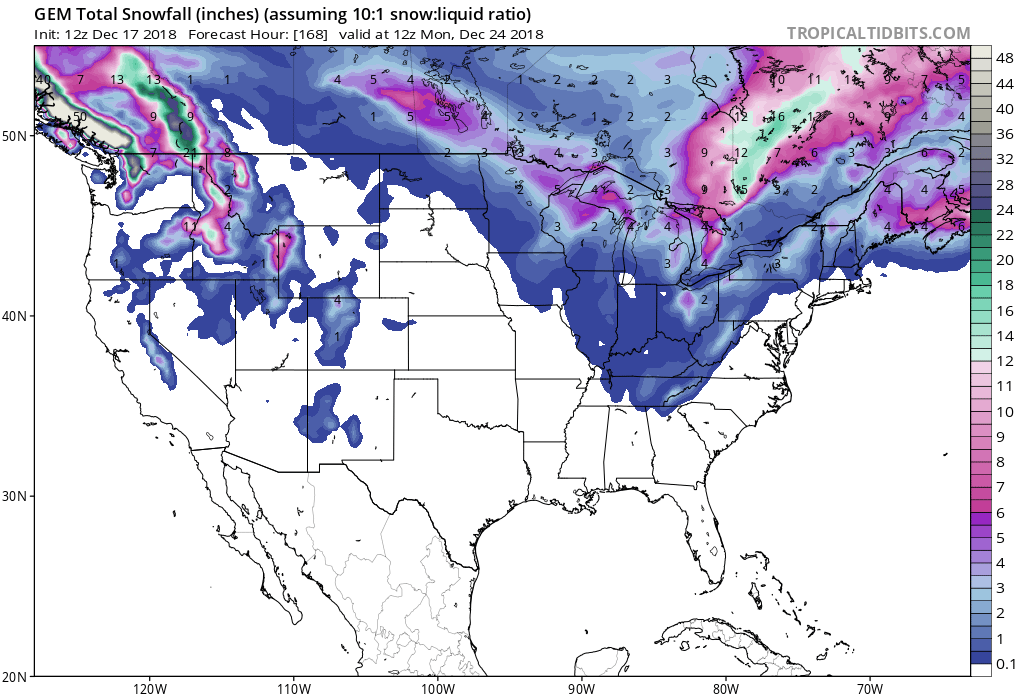
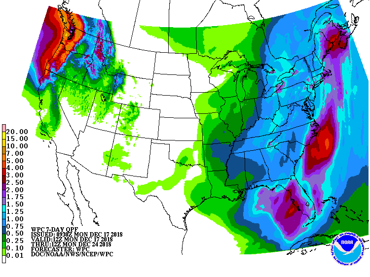
Snow levels are forecasted to hover around 4,500ft throughout the storm.
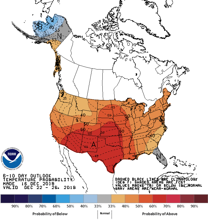
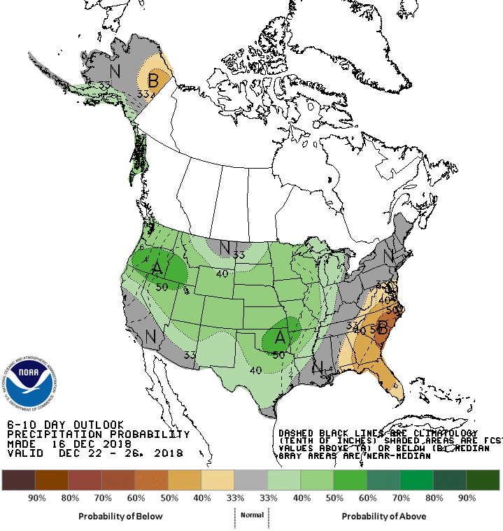
The 6-10 day outlook calls for above average temperatures and above average precipitation in Idaho.
Additional Storm Info:
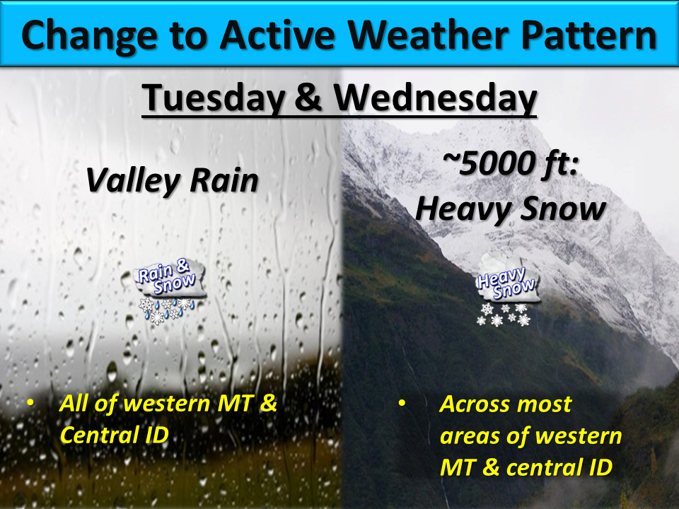
Idaho: 12-20″ of Snow Tonight – Wednesday Morning
* Heavy snow possible. Total snow accumulations
  of 12 to 20 inches possible.
- NOAA Missoula, MT
Winter Storm Watch:
URGENT - WINTER WEATHER MESSAGE
National Weather Service Missoula MT
942 AM MST Mon Dec 17 2018

Lower Clark Fork Region-

...WINTER STORM WATCH REMAINS IN EFFECT FROM LATE TONIGHT THROUGH
WEDNESDAY MORNING...

* WHAT...Heavy snow possible. Total snow accumulations of 12 to
  20 inches possible. Winds could gust as high as 40 mph.

* WHERE...Travel on I-90 over Lookout Pass.

* WHEN...Tuesday morning through Wednesday morning.

* ADDITIONAL DETAILS...Travel could be very difficult to
  impossible.
