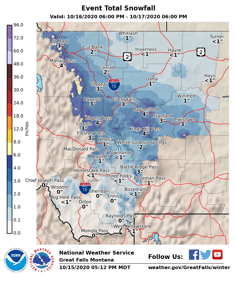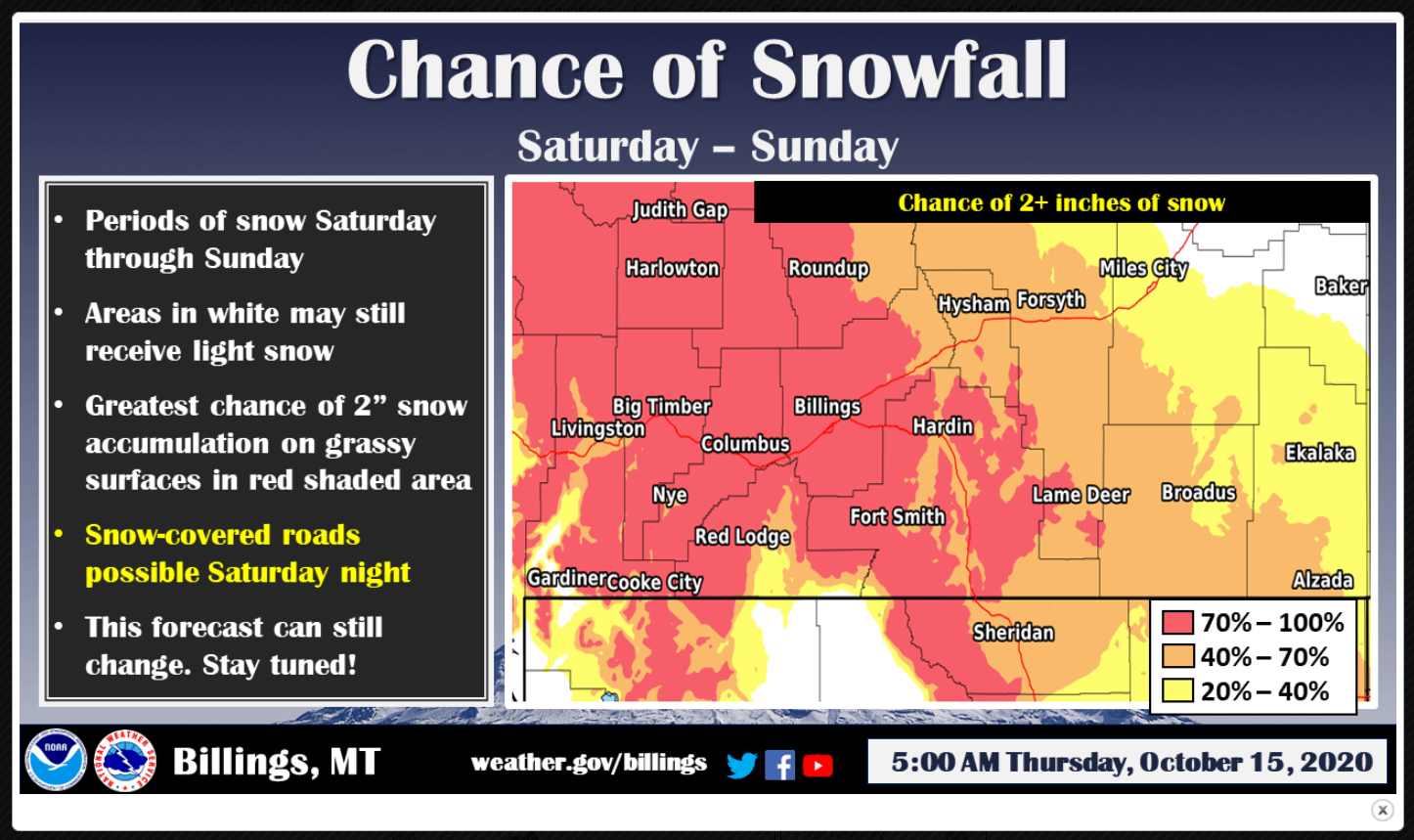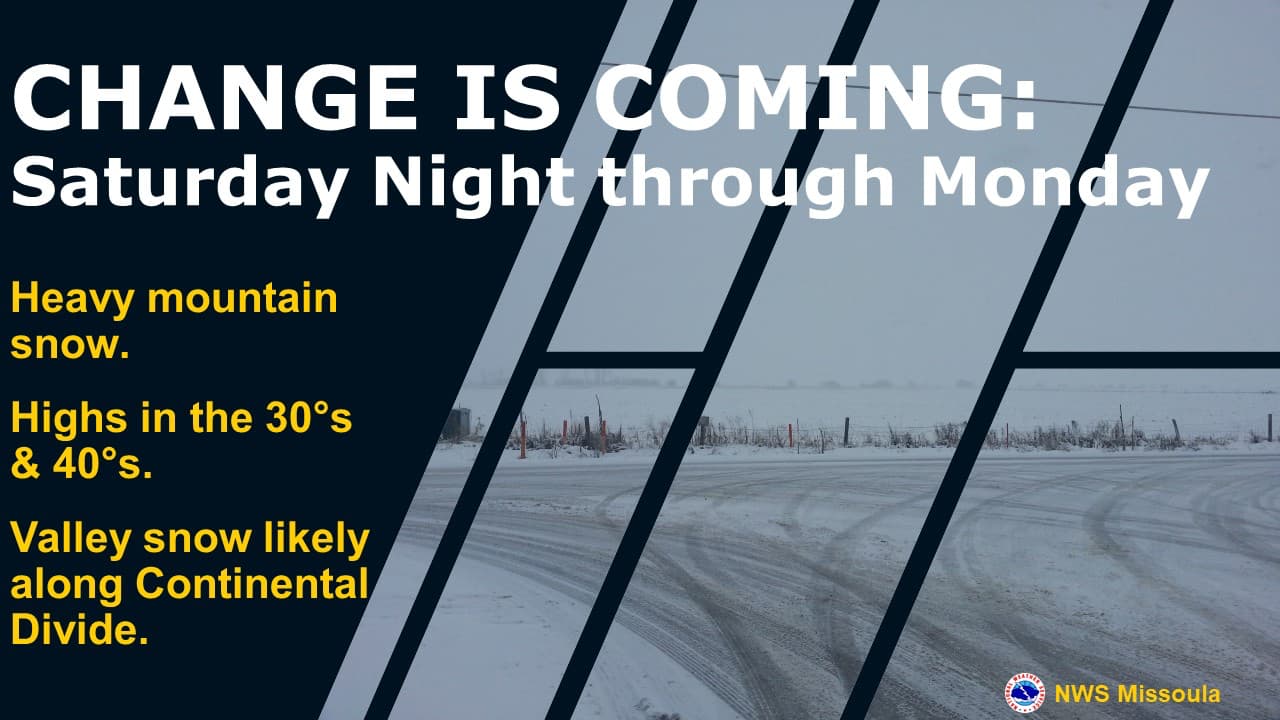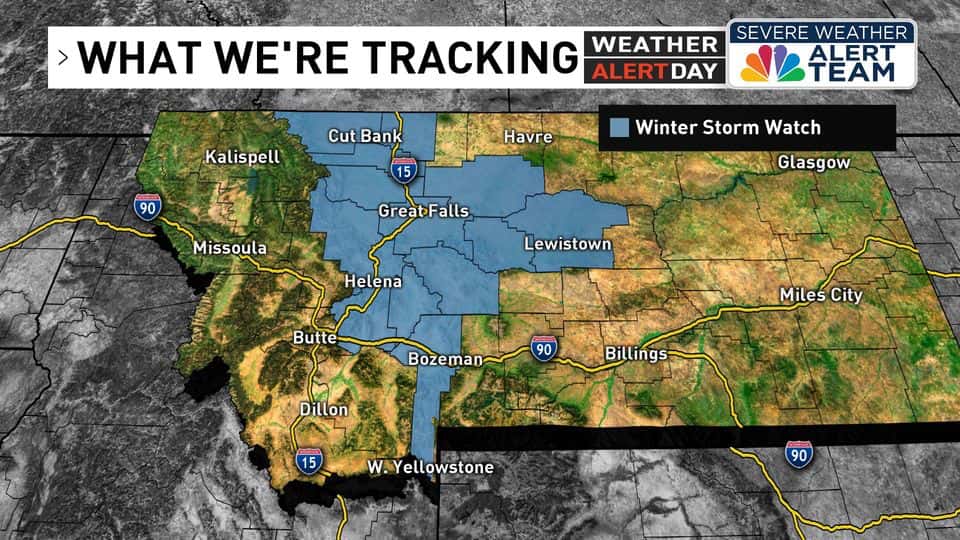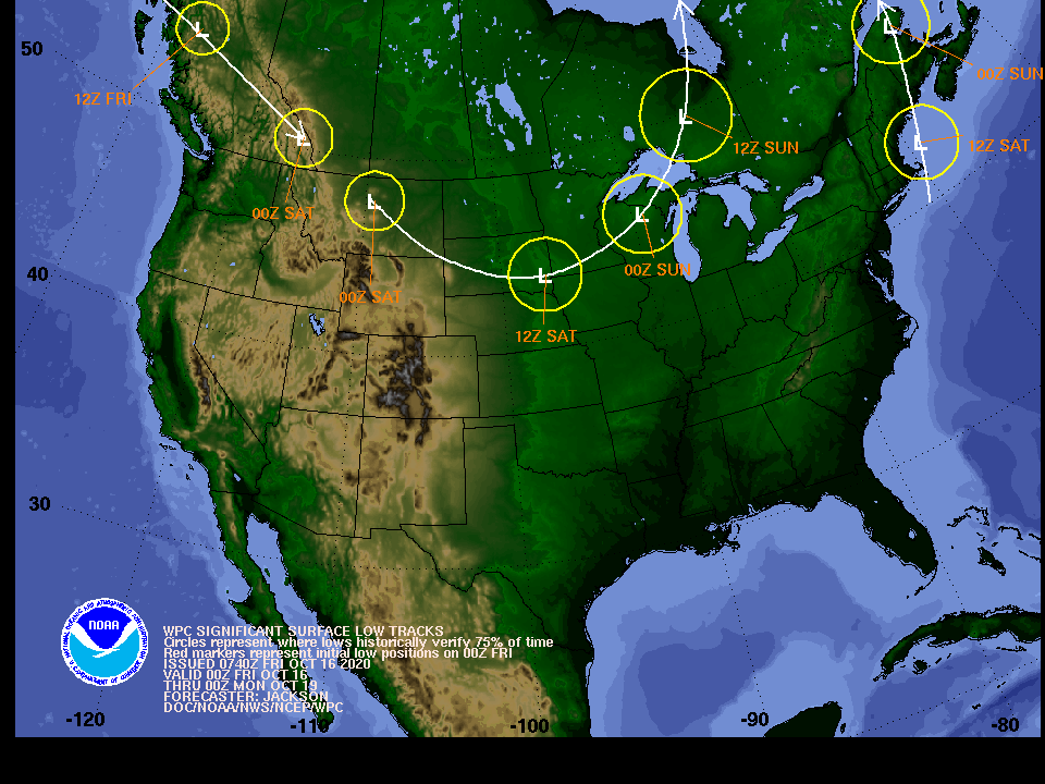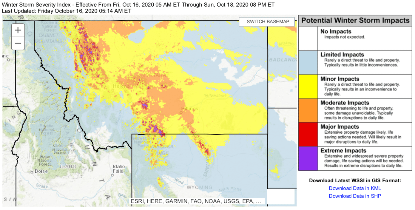
A winter weather advisory has been issued for most of western Montana as the next significant system to affect the Northern Rockies will arrive on Saturday. Northwestern Montana will be most affected by the Canadian cold front and decent snowfall totals could see eager powderhounds making turns on the slopes of Montana as early as Sunday.
* WHAT...Snow expected. Total snow accumulations of up to 6 inches
with in the mountains and around 2 inches or less in the
valleys from Helena south to Bozeman.

* WHERE...Central and Southern Lewis and Clark, Jefferson,
Broadwater and Gallatin.

* WHEN...From 3 AM Saturday to midnight MDT Saturday night.

* IMPACTS...Plan on slippery road conditions. Patchy blowing snow
could significantly reduce visibility. Initially wet road
surfaces could ice up quickly early Saturday morning
temperatures fall below freezing.

* ADDITIONAL DETAILS...Snow ends in the valleys Saturday evening
but may cotninue through Saturday night over mountains and
passes. Another period of light snowfall is expected Sunday
into Sunday night.
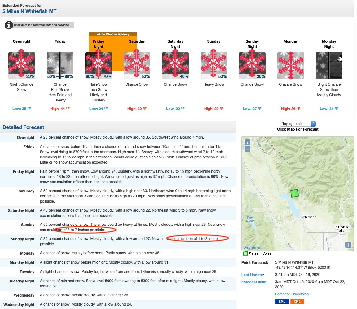
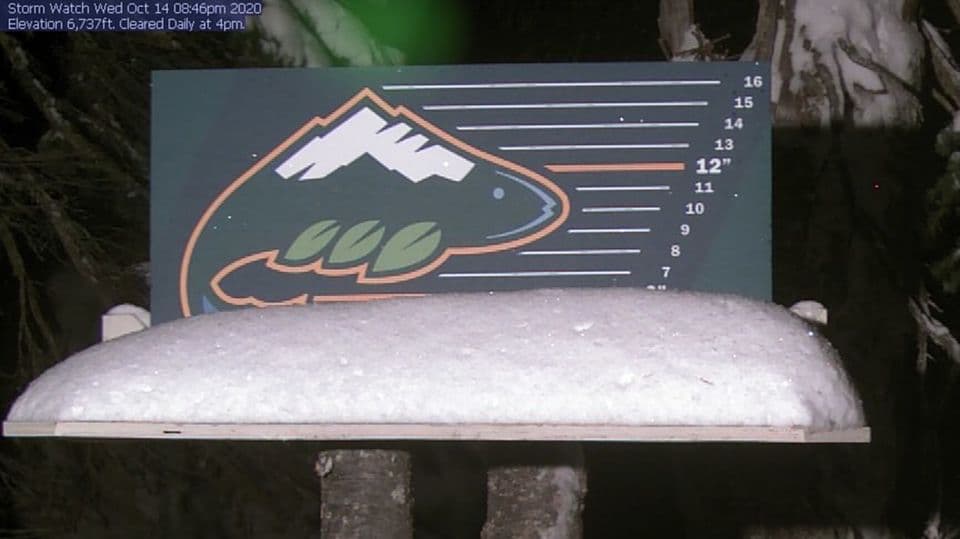
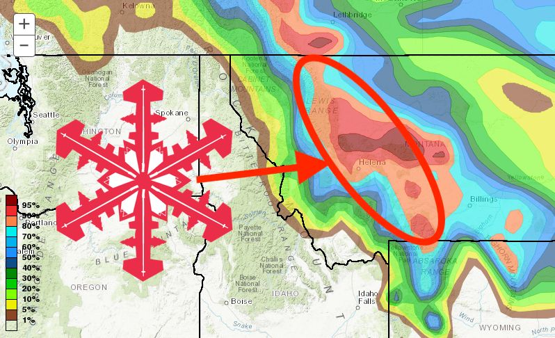
Saturday night and Sunday morning rain will transition into snow below 4,000 feet. Big Sky Resort could see up to 6″ of fresh snow, Bridger Bowl 10-12″, and further north Whitefish Mountain could also see up to a foot of fresh snow.
However, although all the models do predict snow, there is equal confidence that there will be no snow and more than 6″ of snow will fall! Confidence is high though that areas east of the Continental Divide will encounter some difficult to dangerous winter weather this weekend.
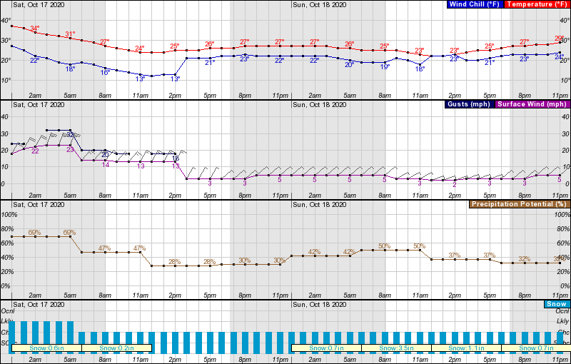
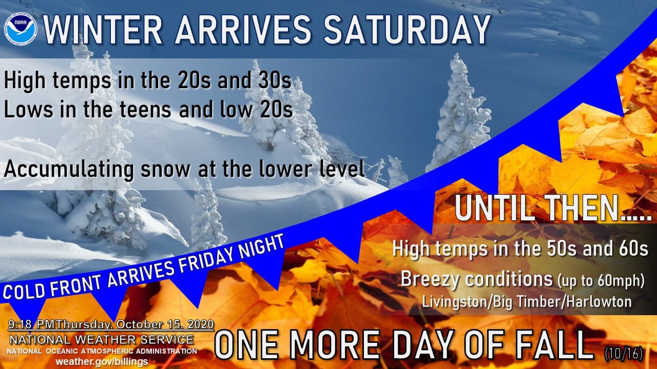
Expect high winds Friday night and early Saturday morning with gusts above 30-mph, gradually calming down as Saturday progresses. Temperatures will settle in the high 20s throughout Saturday.
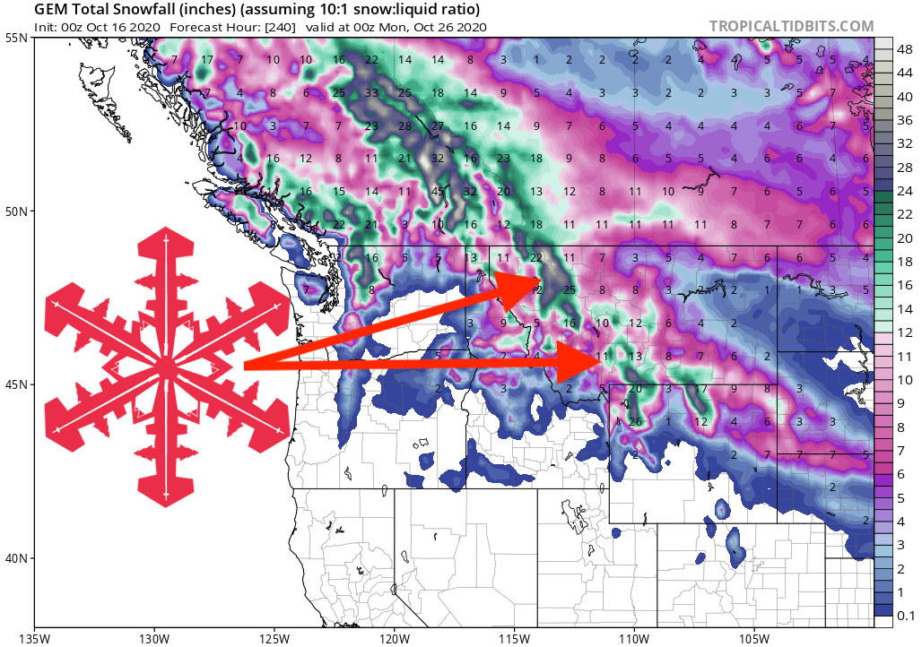
GEM Snowfall Total Model:
Other Info:
