Report from February 4, 2024
We got first chair this morning on KT-22 at Palisades Tahoe, CA.
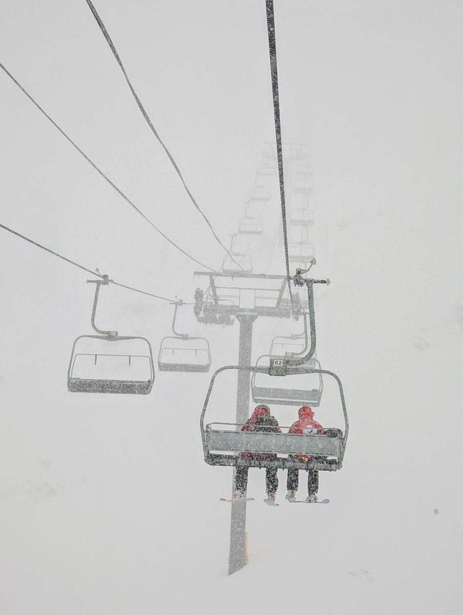
Palisades was only reporting 2″ of new snow at 6am but it was snowing 2″ per hour…
Just in case we got out early.
We went for West Face on the first run and it was still moguly and rough underneath.
After that we stuck to the trees and found some good skiing but it wasn’t great.
Mostly still hitting the bottom and getting bucked around.

We decided to go home around 10:30 and let the new snow fill things in before coming back out around 1 or 2pm.
We suited up and rolled back out just as all the lifts closed down due the heavy snow, rising winds, and increasing avalanche danger.
“The wind wasn’t as much of a problem until midday; slowly, due to both wind and snow safety, we closed several lifts at both Alpine and Palisades, with the Palisades side eventually closing for the day entirely just after 1pm.” – Palisades Tahoe, 2/4/24

Then at about 3pm, it started to rain at the base…
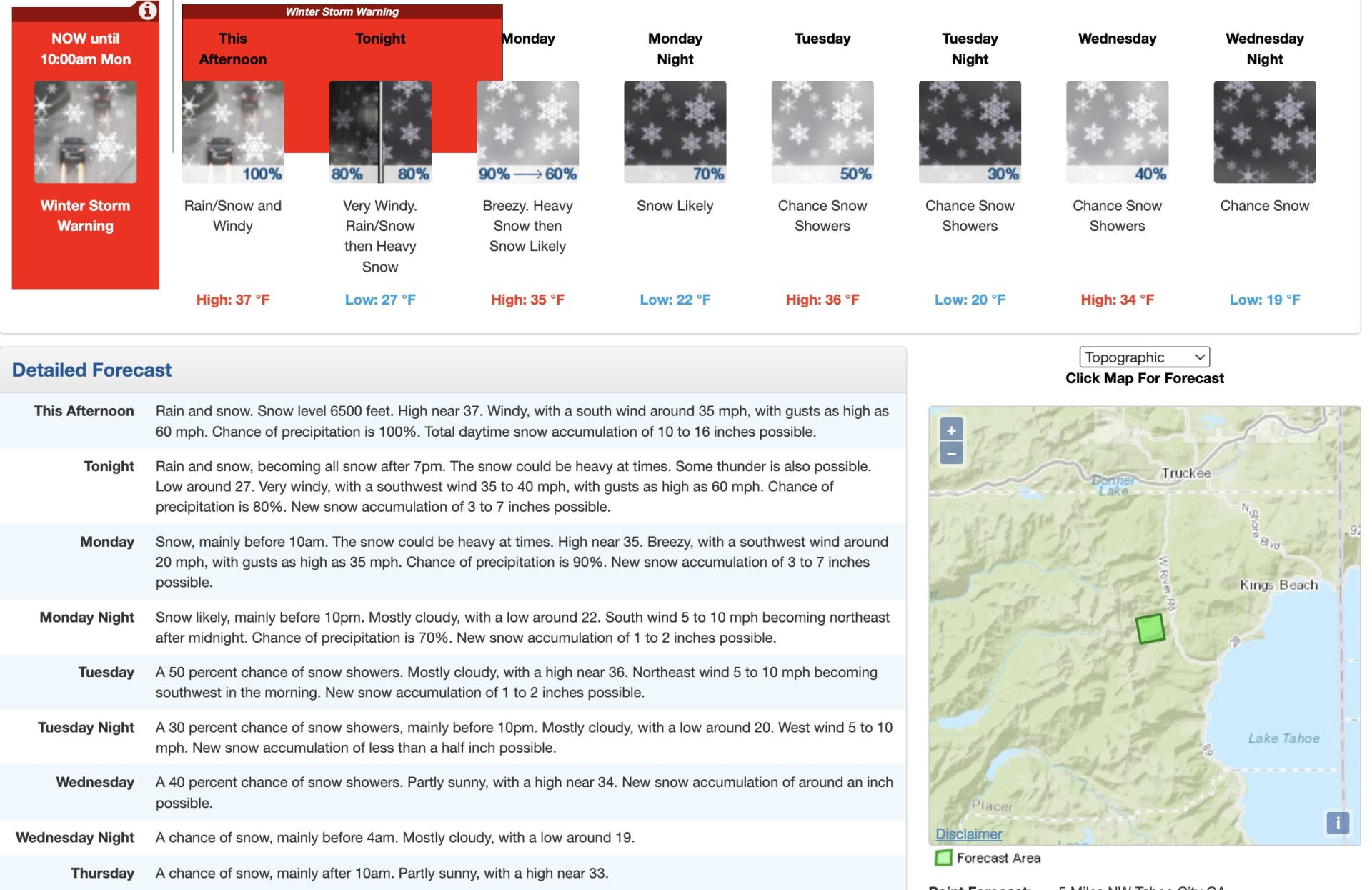
The rain should turn back to snow by midnight tonight, according to NOAA.
* TAHOE BASIN: P-type has just begun to transition from snow to rain
  at KTVL which is about 2 hours sooner than what the HREF was
  predicting. The remaining areas in the Tahoe Basin are expected to
  remain mostly snow with the HREF showing snow rates lowering to
  around 1 inch per hour or less. The entire area then transitions
  back to the snow P-type around midnight tonight as the pass level
  incurs a snowfall rate of around 1-2 inches per hour. By the
  afternoon hours of Monday, the HREF has snowfall rates declining
  quite a bit in this area before dropping to zero by Monday night.
  One ongoing concern involves southerly winds gusting up to around
  or above 80 kts in some portions of the area for the remainder of
  today and into the overnight hours which will allow the threat of
  dangerous white-out conditions to continue. - NOAA, 2/4/24
Today was a wild one at Palisades Tahoe and it ain’t over yet!
The forecast continues to call for big snow and wind overnight and into Monday.
Snow Numbers

Forecast
