Report from May 2, 2024
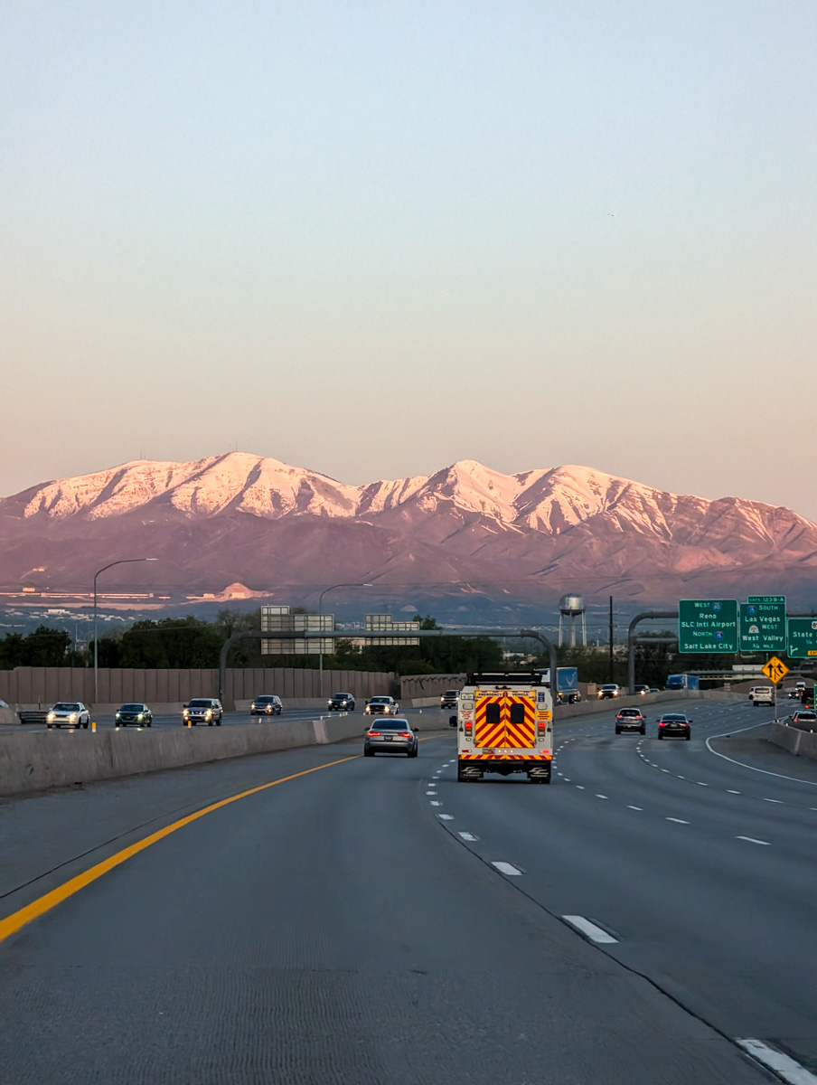
I made the drive from Park City, UT, to Mammoth Lakes, CA yesterday.
573-miles, 8.13 hours.
It’s one of my favorite drives on Earth.
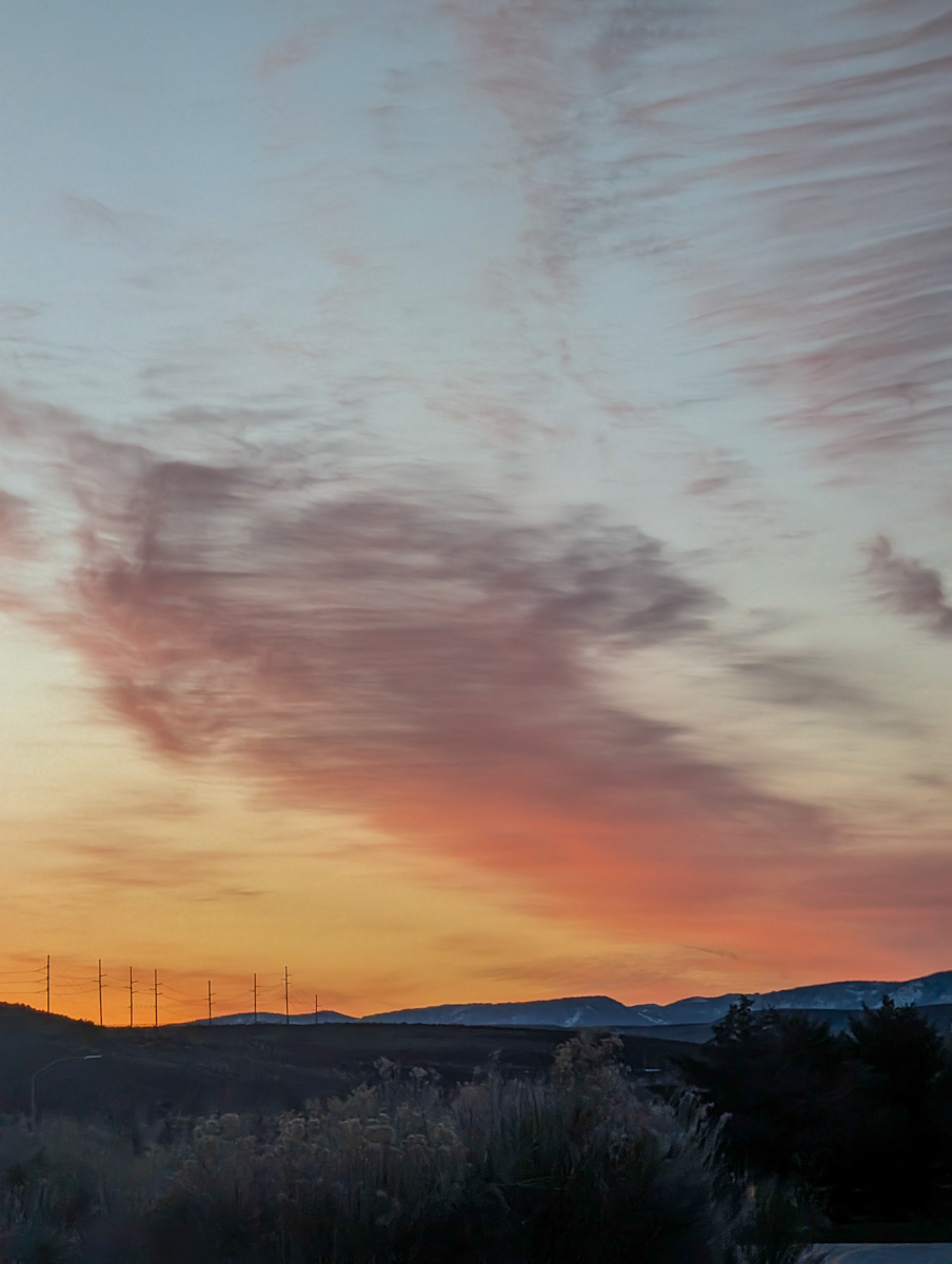
6am departure.

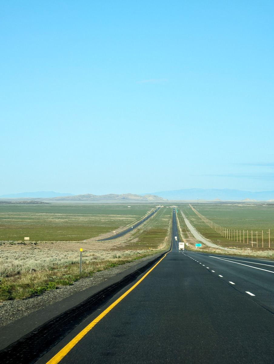
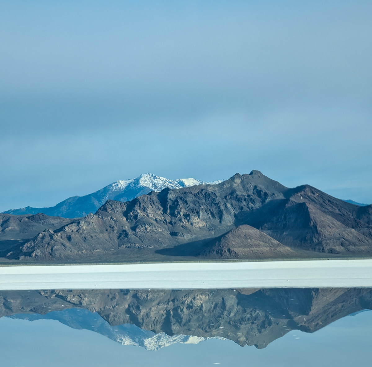
From Park City to Wendover, NV, I crossed the salt flats.
The salt flat were green and wet.
From Wendover, you take a hard left and head south to Ely, NV.

You initially cruise over hill and dale with eastern views into the salt flats.
Green and gorgeous yesterday.
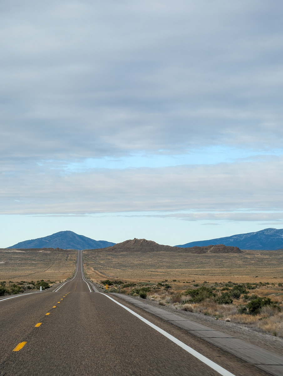
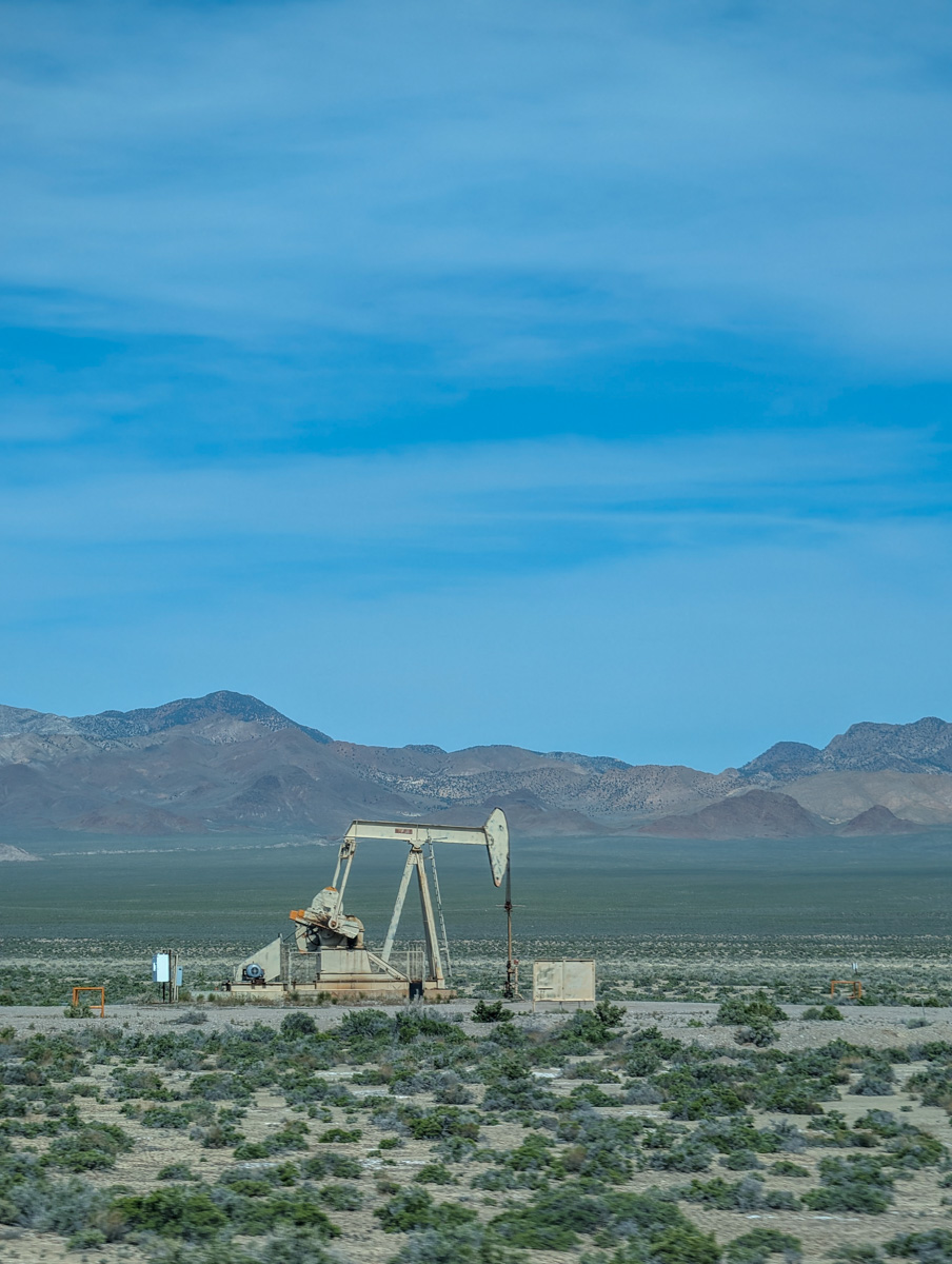
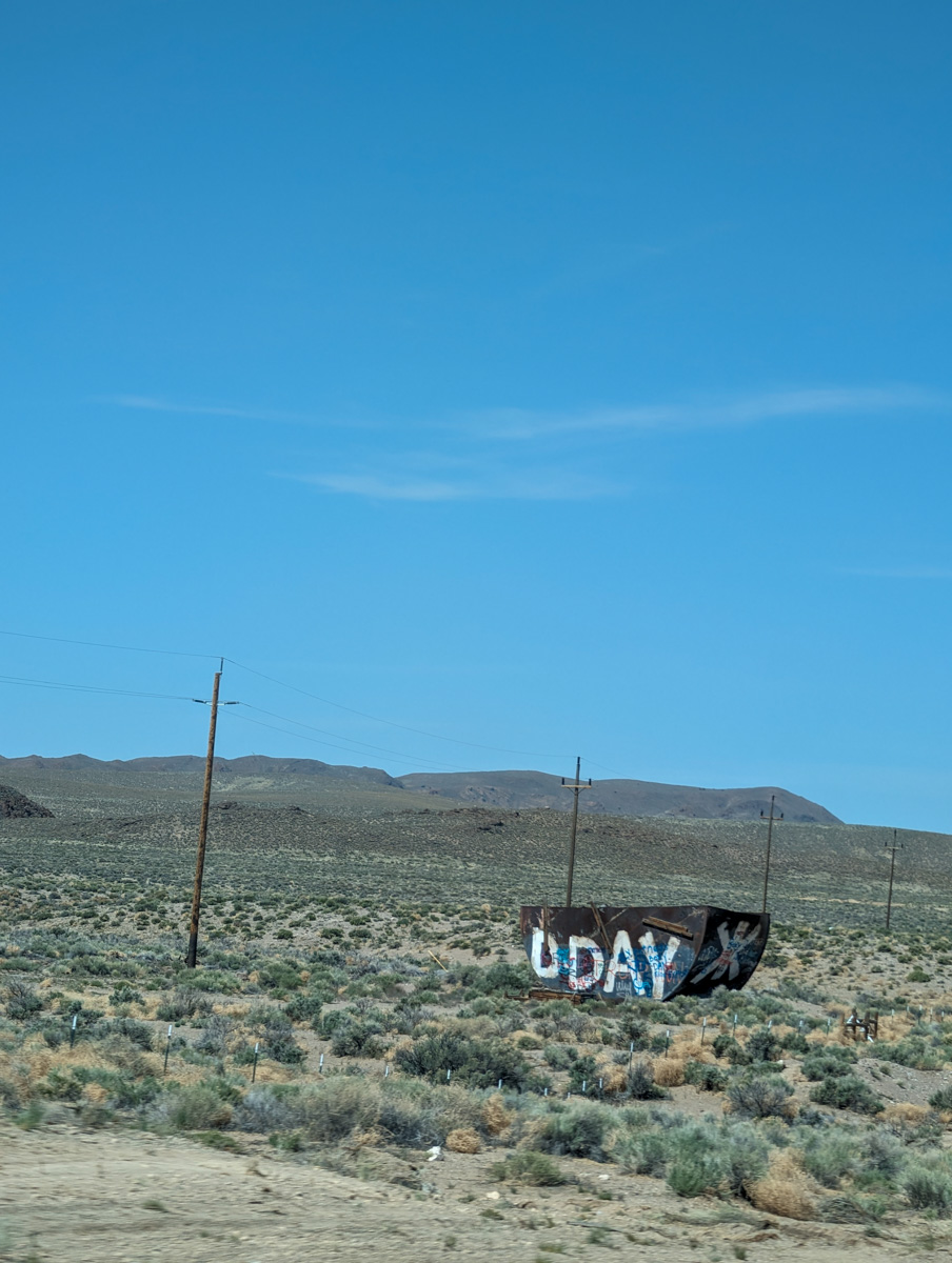
From Ely the drive gets amazing.
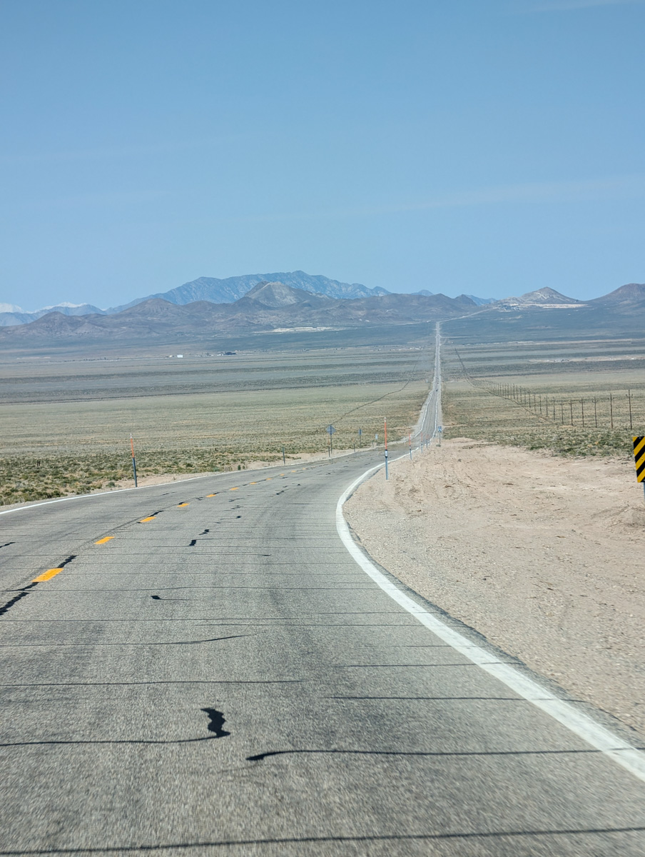
Highway 6.
11,457′ Currant Mountain and its jagged range.
The lunar landscape of the Lunar Crater Volcanic zone.
7 huge basins and ranges later you end up in Tonopah, NV.
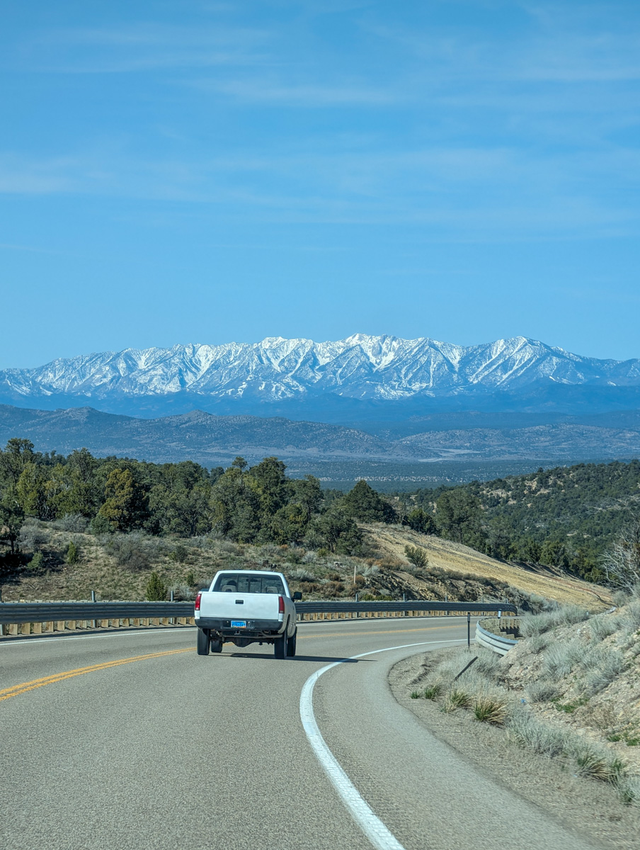
Before you even get to Tonopah, you start to see the 14,000′ White Mountains in California.
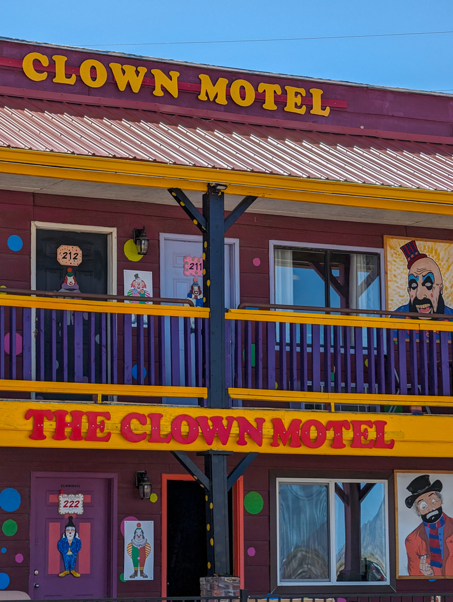
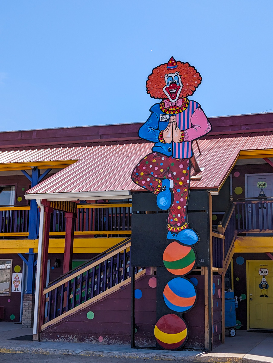
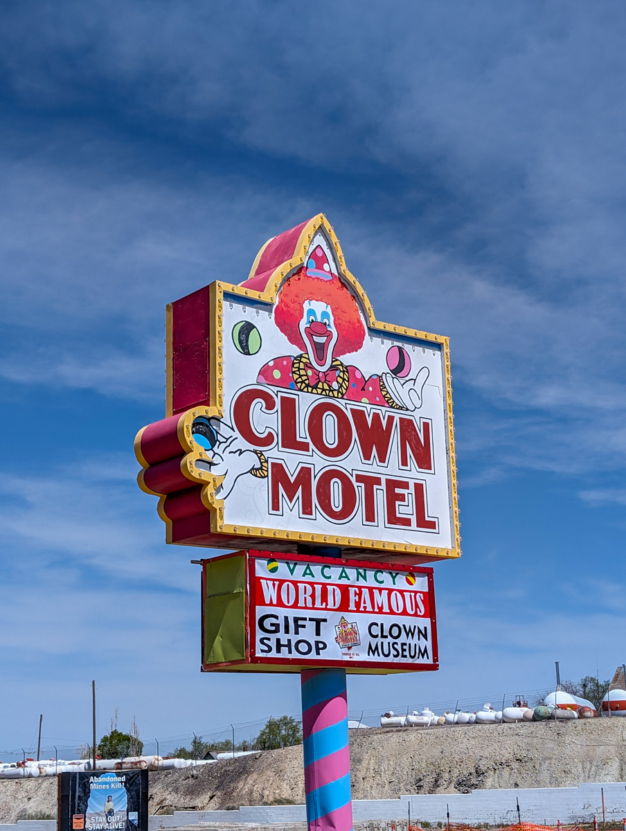
In Tonopah, you go to the Clown Motel…

The Clown Motel has gotta be one of the creepiest places on Earth.
Directly next door is the Tonopah Cemetary which holds people from the 1911 mine fire that happened near town.
There is also a plethora of folks from the 1902 “Tonopah Plague.”
I actually went into the Clown Motel Museum for the first time yesterday and it was truly unsettling.
(They just built a new Loves gas station on the west side of town which makes gassing up much easier now).
From there it’s back on the road winding west towards the ridiculously enormous White Mountains.
Highway 6 takes a hard left after Tonopah and B-Lines towards 13,000′ Boundary Peak on the CA/NV border.
Boundary Peak holds some of the wildest looking northwest-facing chutes I’ve seen.
Towering spires of granite flowing into long jagged chutes and descend into oblivion.

Now you’re in California and your first town is Benton.
Take a right and zip through the Benton Hot Springs that look quaint but I’ve never checked them out.
Beautiful juniper-covered hills and piles of aesthetic decomposing granite lead you to the left turn onto Benton Crossing road.
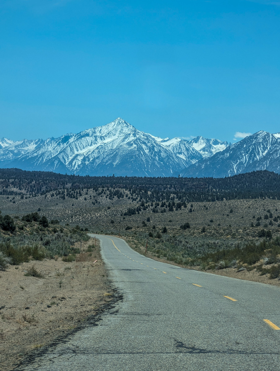
This is where the biggest impact of the drive is felt.
As you roll and flow over the hills and cracked-to-hell asphalt, the Sierra Nevada Mountain come into view.
Majestic, intimidating, enormous.

13,000′ Mt. Morgan, Mt. Morrison, Mt. Baldwin, Mammoth Mountain, The Minarets, Mt. Ritter, Mt. Banner, more.
The contrast of these peaks against the green, hot spring filled Long Valley is stunning.
It takes my breath away every time.
Lake Crowley steers you right up against the peak and highway 395.
A short stint up the highway drops you right into Mammoth Lakes itself and you’re home.
Home for the month of May for my 14th time.
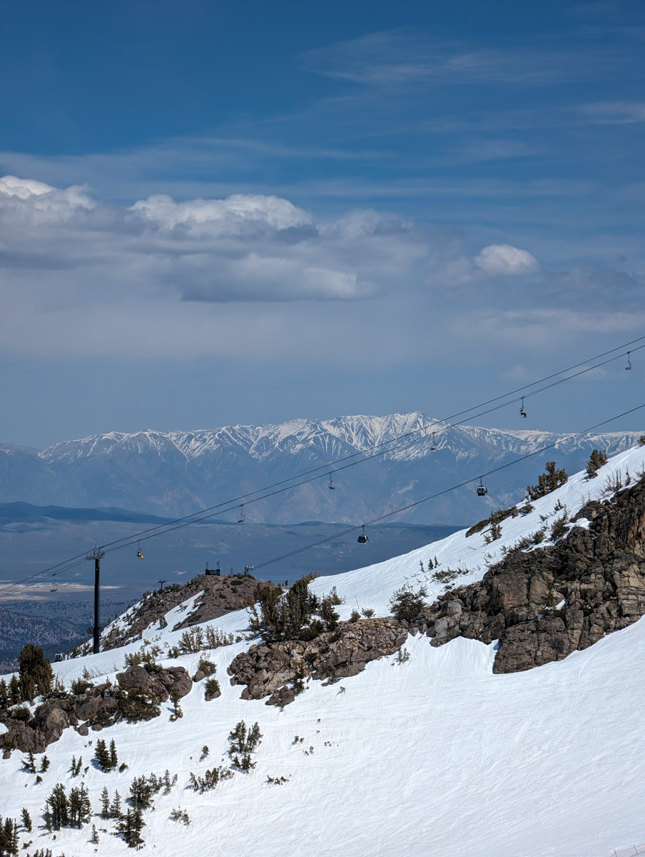
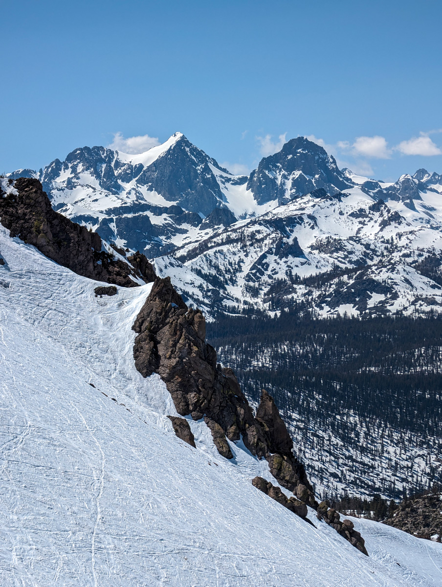
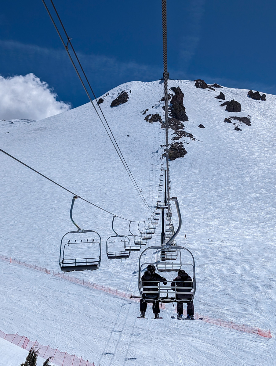
I quickly dropped off my gear at the house and bounced up to Mammoth for a handful of laps.
The mountain was hot and sunny.
The corn was splashy with a little crunch underneath.
It was a terrific first day back on the Eastside.
Thanks, Utah, Nevada, and California!
Photos in Chronological Order


