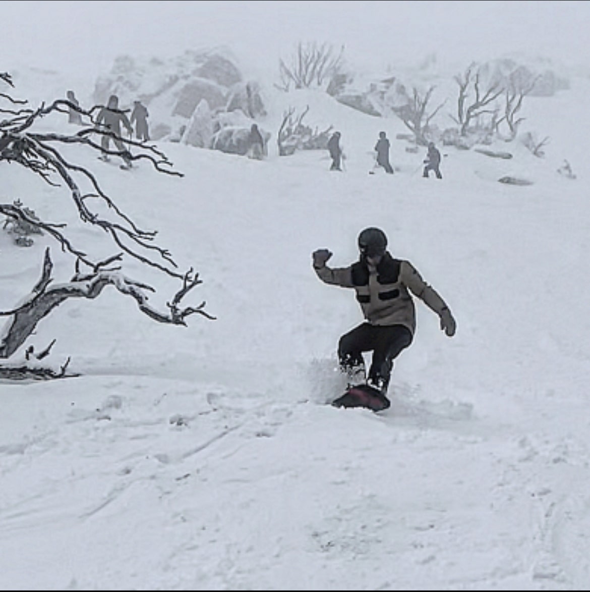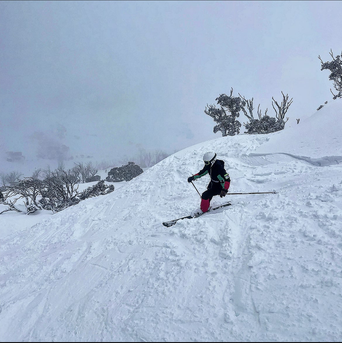
After the Storm last week Perisher saw a good 30cm (12 in.) of snow on the weekend, followed by four days of sunshine before the next front moved across the Australian Alps. This current front brought about 15cm (6 in.) of snow yesterday with some snowflakes still falling during the day. Temperatures hover around freezing, making the new snow wet and heavy, “leg breaker snow,” as the Swiss call it.
Temperatures need to drop to drag the moisture out off the snow but it still makes for enjoyable runs off piste for the more advanced skier and boarder. On piste large mounds were forming and visibility was poor the entire morning, so be careful out there! Visibility improved during the day and the sun came out in the afternoon but the forecast for the weekend remains cloudy.
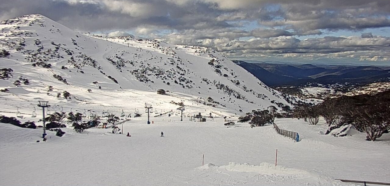
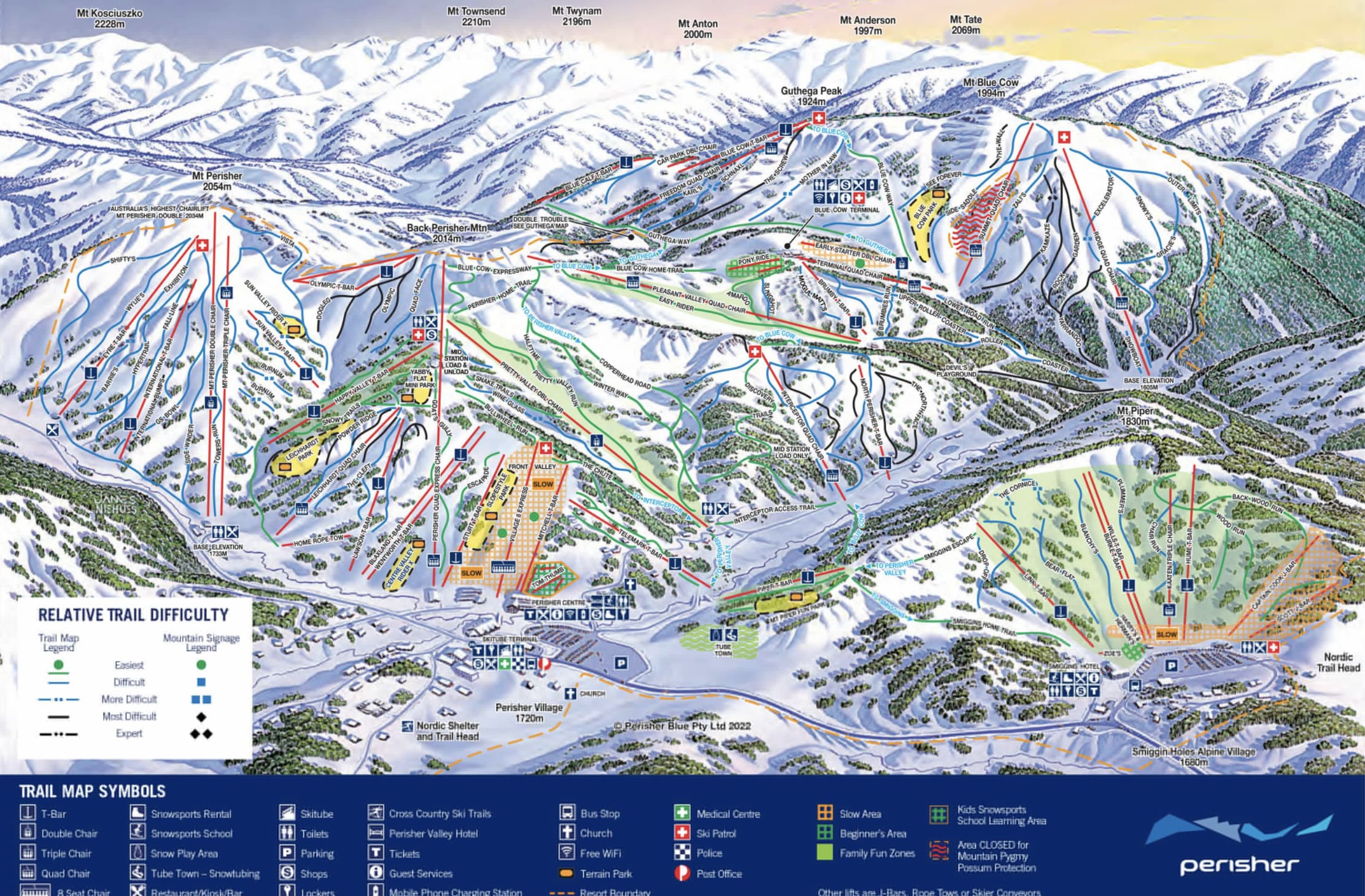
For those enjoying off-piste, I recommend below Olympic or to either side of the Sun Valley T-bar or over in Blue Cow down Kamikaze for some “freshies.”
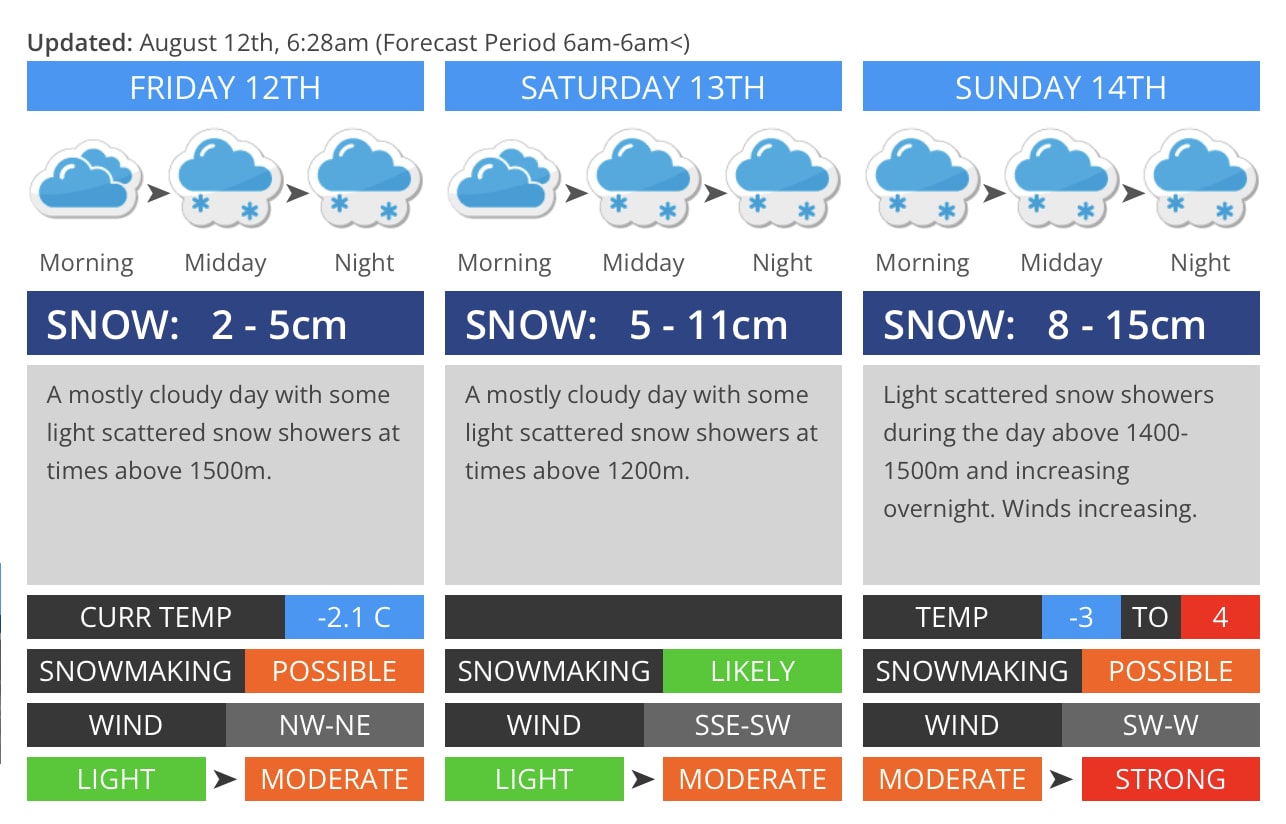
The Australian Bureau of Meteorology (“BOM”) forecasts a 90% of snow showers for the weekend. The snowline is between 1,200-1,300m (3,937 – 4,265 ft) over the weekend, so Perisher should get nice dry snow over the next two days.
The natural snow depth has increased to 146cm (57 in) at Spencer’s Creek which is an increase of 43cm (17 in.) from last Friday’s condition report. Forecasts for the weekend range from 13 to 26cm (5-10 in.) of snow.
Weather
