A significant avalanche was triggered near Beaver Creek Resort in Colorado on November 27, highlighting the dangerous snowpack conditions in the area. Kreston Rohrig, a forecaster for the Colorado Avalanche Information Center (CAIC), reported the event.
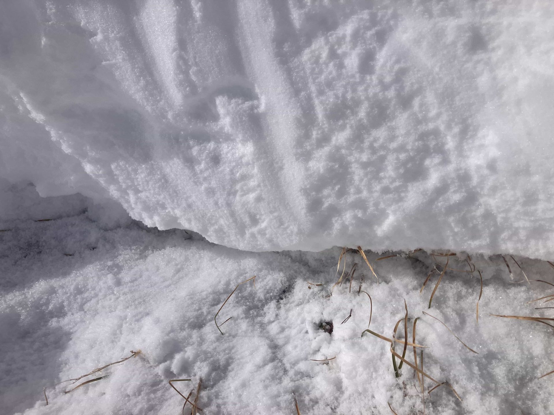
According to the CAIC report, the recent snowfall had dramatically altered the terrain, with snow depths measuring 50 inches (125 centimeters) at around 11,500 feet elevation, more than doubling the previous ground cover. Higher elevations exhibited signs of wind-transported snow, with large drifts several feet thick forming behind trees and rocks.
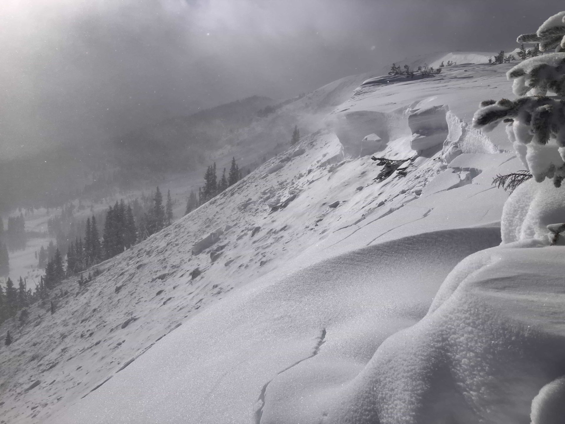
“I remotely triggered a large avalanche from around 200′ away along the ridgeline. The maximum height of the crown was pushing seven feet.”
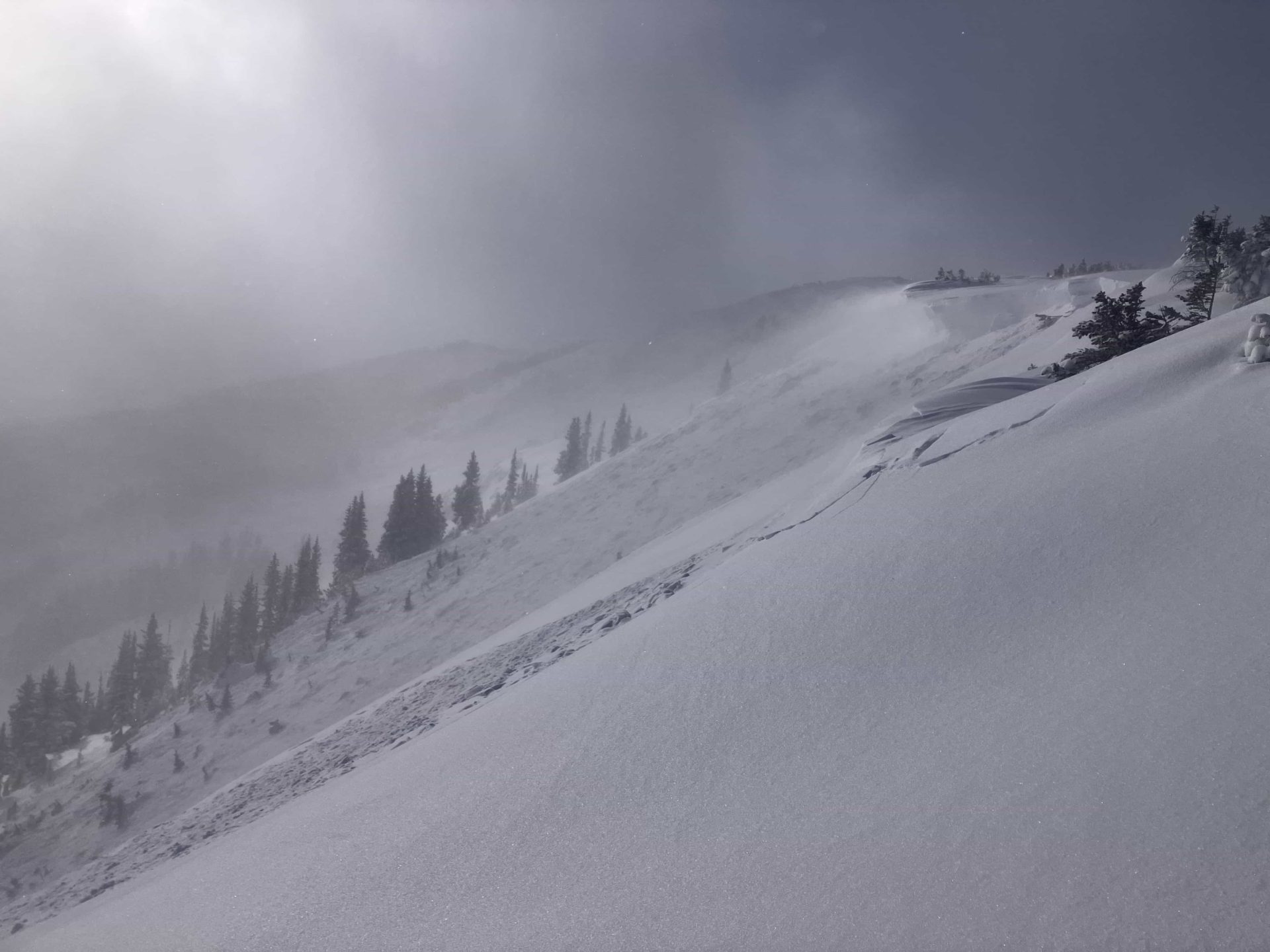
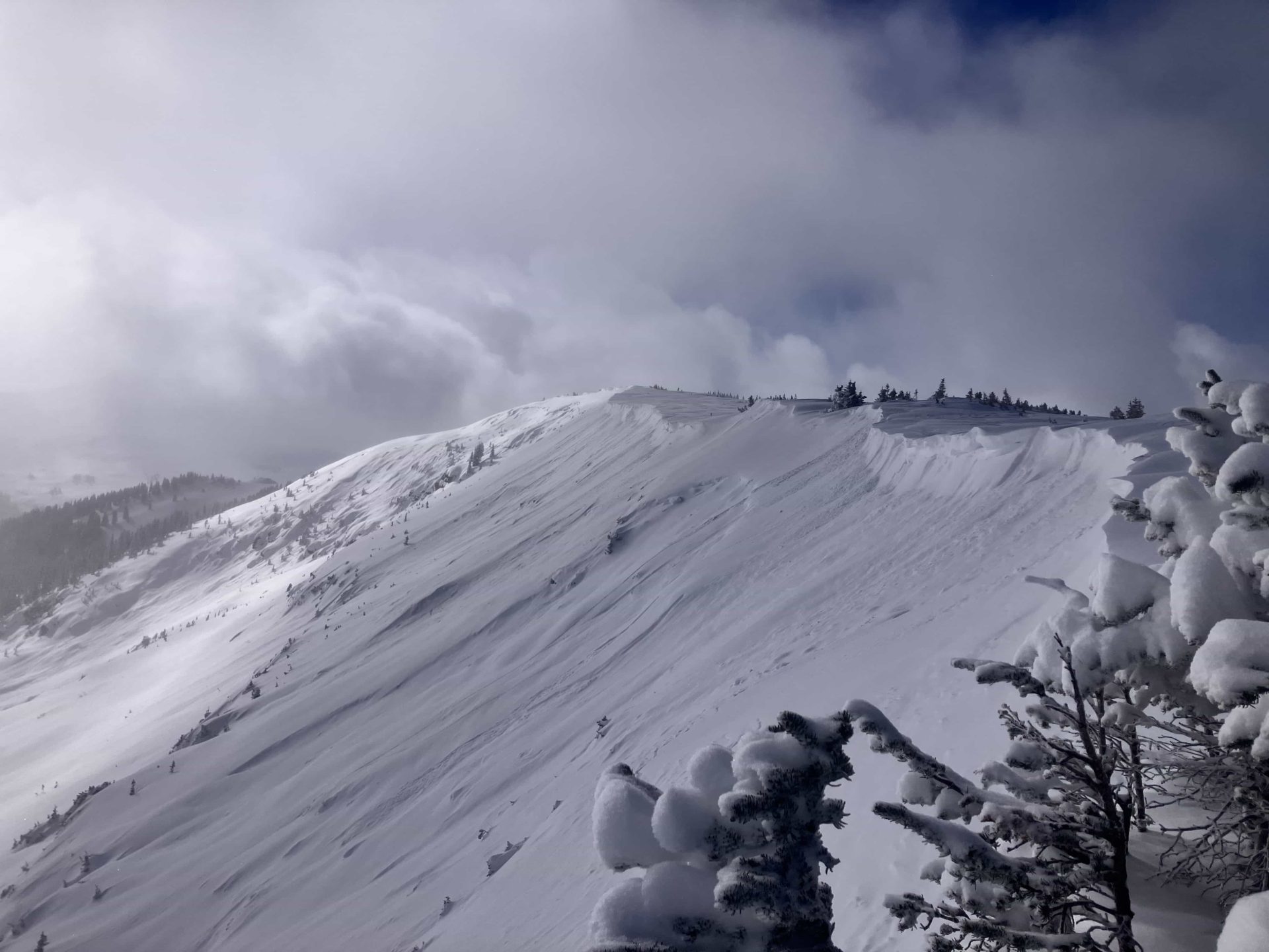
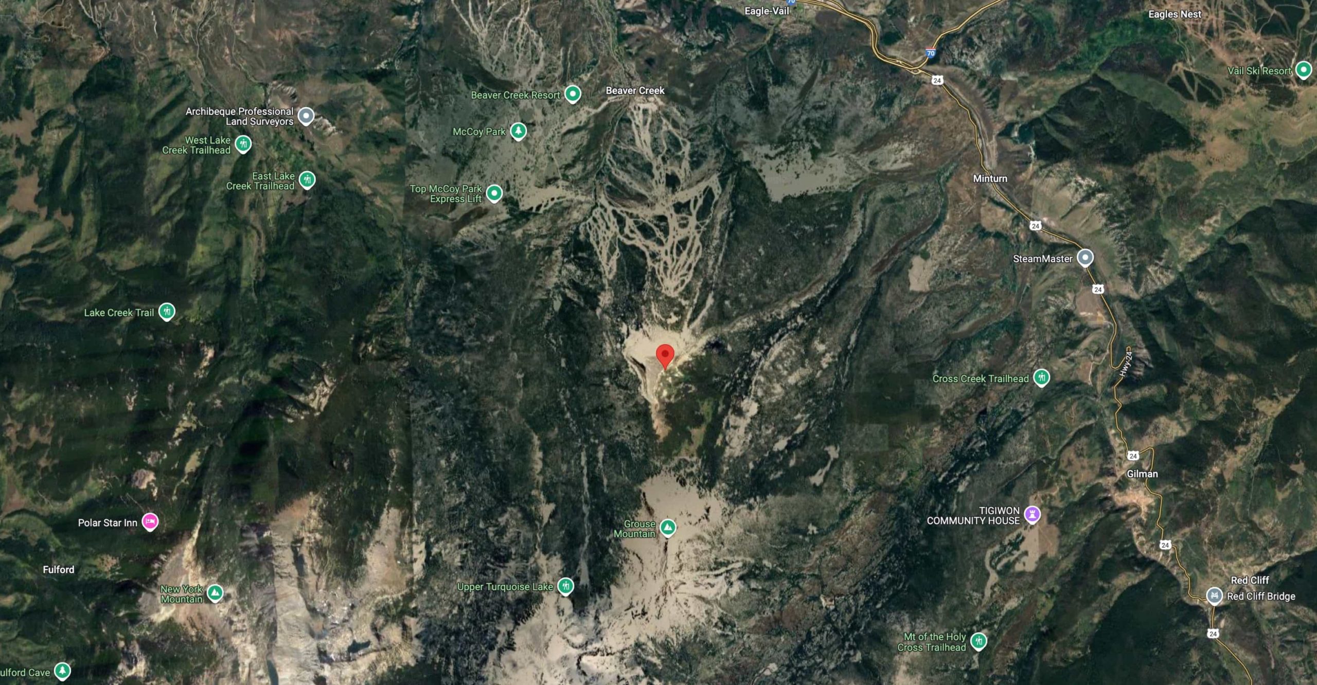
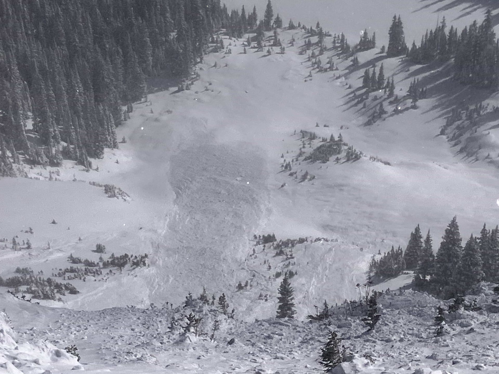
Rohrig remotely triggered the large avalanche while traversing a ridgeline above Olsen Lake. The avalanche occurred on a heavily wind-loaded, broad, easterly-facing ridge approximately 200 feet from Rohrig’s position. The crown of the avalanche reached an impressive height of nearly seven feet.
- Type: Soft Slab (SS)
- Trigger: Accidental/Remote (AS/r)
- Size: R2 (relative to path) / D2 (destructive force)
- Problem Type: Persistent Slab
The snowpack displayed consistent signs of instability throughout the area. Rohrig reported numerous large, rumbling collapses, though somewhat muffled due to the massive new snow load. Upon examining the avalanche crown, he found:
- A soft slab with a hardness of Fist to Fist+
- Slab thickness of several feet
- Failure occurring on a thin layer of facets at the ground level
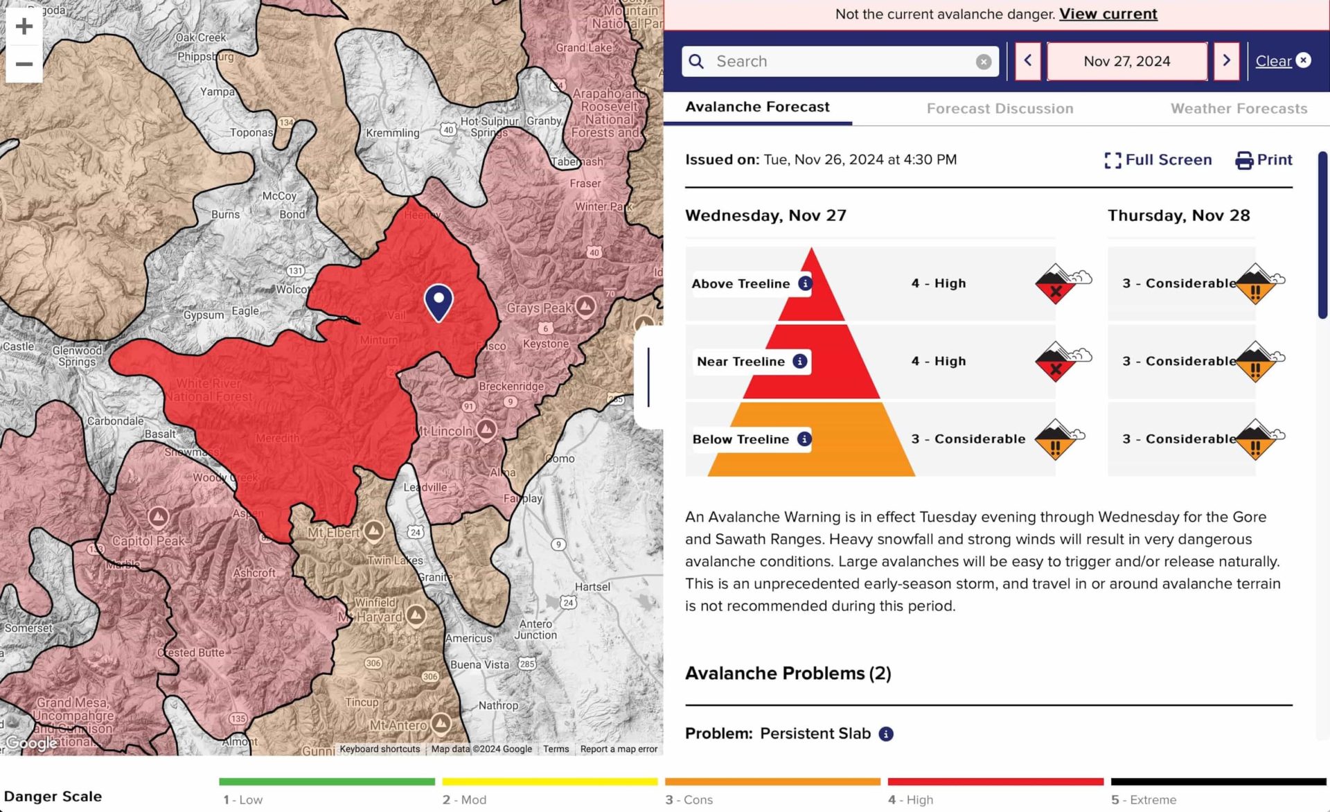
An avalanche warning was in effect at the time.
“An Avalanche Warning is in effect Tuesday evening through Wednesday for the Gore and Sawath Ranges. Heavy snowfall and strong winds will result in very dangerous avalanche conditions. Large avalanches will be easy to trigger and/or release naturally. This is an unprecedented early-season storm, and travel in or around avalanche terrain is not recommended during this period.”
– CAIC forecast
At the time of the observation, the weather was characterized by:
- Primarily overcast skies
- Intermittent snowfall
- Occasional patches of blue sky
- Light westerly winds
The avalanche danger for the zone at the time was rated HIGH.
The CAIC warns that this incident underscores the importance of careful assessment and decision-making in backcountry terrain, especially following significant snowfall and wind events. Backcountry users should know the potential for large, destructive avalanches and persistent weak layers in the snowpack.
Anyone venturing into the backcountry must stay informed about current avalanche conditions, carry proper safety equipment, and know how to recognize and avoid potential avalanche terrain.
