This report is from Saturday, June 1, and was written by Ryan Turner.
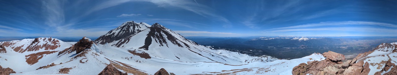
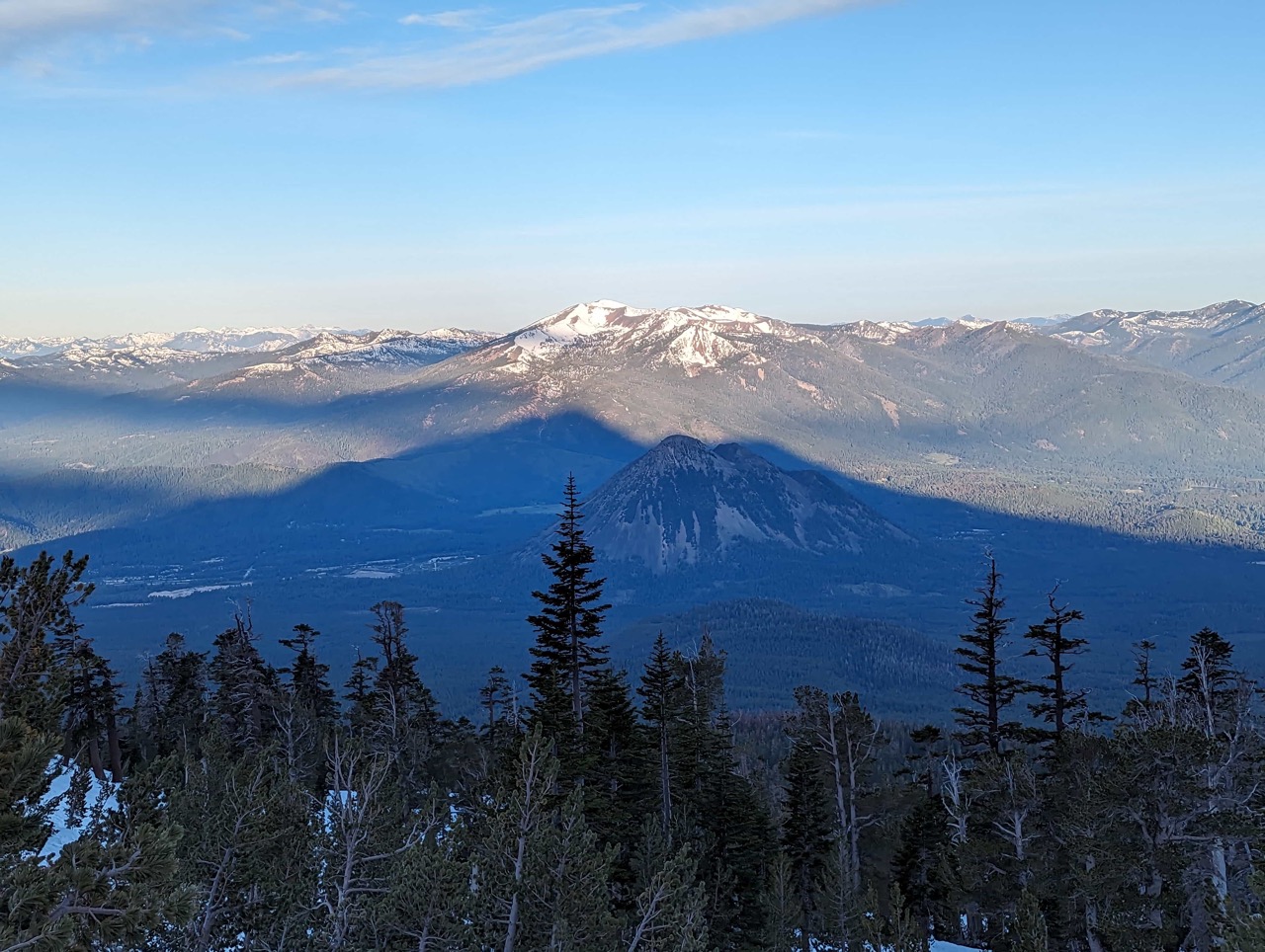
Shasta’s little sister, Shastina, typically gets much less attention than the bigger Shasta. However, Shastina is the third-highest Cascade volcano after Shasta and Rainier and has a very large crater of its own.
All the route descriptions to Shastina show a long traverse from the Bunny Flats trailhead through the Hidden Valley campground. However, a couple of hours of horizontal work is always best avoided. I was looking for a direct route.
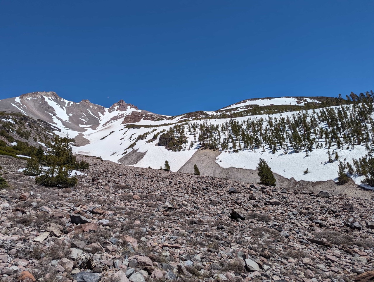
A careful study of the maps shows a rough FSR to the base of Diller Canyon. There is a nice steep cirque off the Shastina crater to descend. Our scouting showed the usual Shasta blade of snow down the drainage to 7400ft here, with parking at 7100 ft. A faint old road along the skiers’ left of the drainage up to the snow. However, I saw evidence on the scout that the Diller is a rockfall pinball funnel. It isn’t very suitable as an up-route booter.
However, another branch of the FSR (now blocked to the end) heads up through the old lava flow area and merges into the standard route.
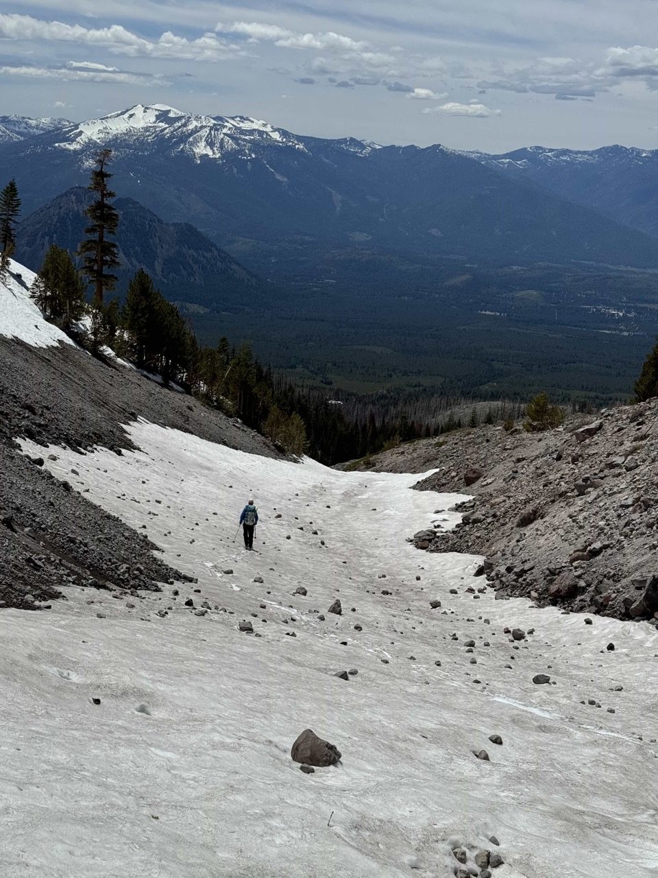
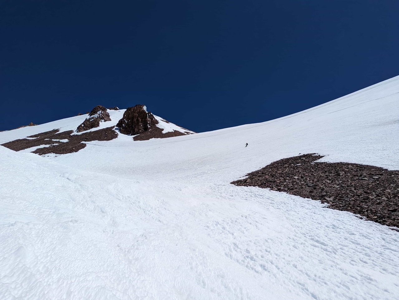
We hiked up the FSR from 6,800 to 7,100 feet before transitioning to skins. From here, we were on snow the whole way. The lava flow route avoids sidehilling and goes up to the cliffs below the Lightning Bolt at around 10,000 feet. From there, we worked right over to the standard route.
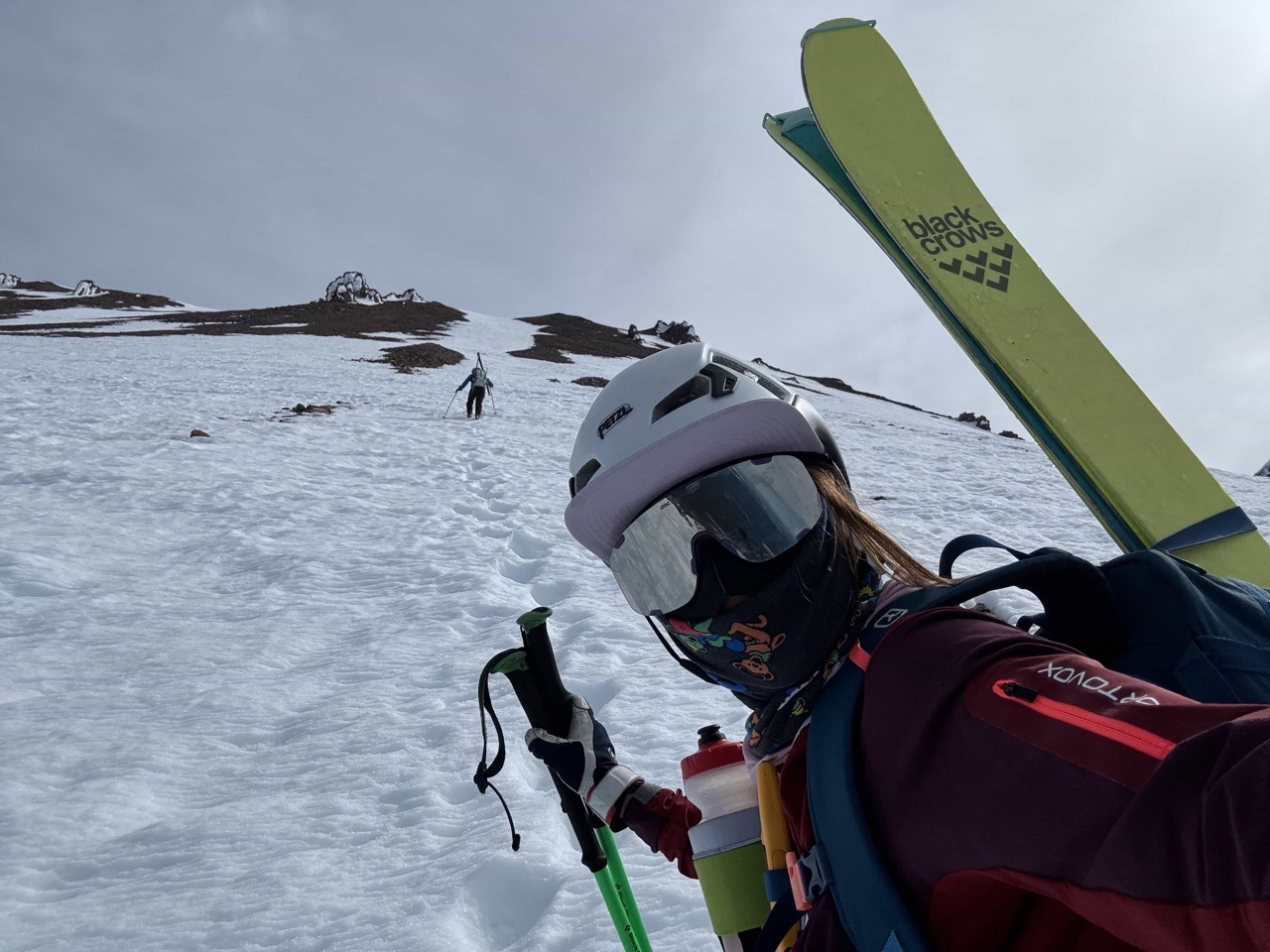
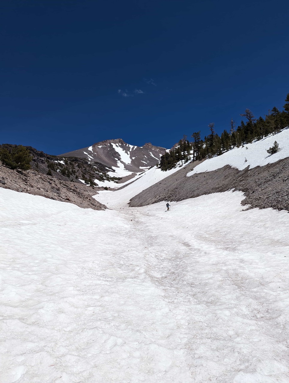
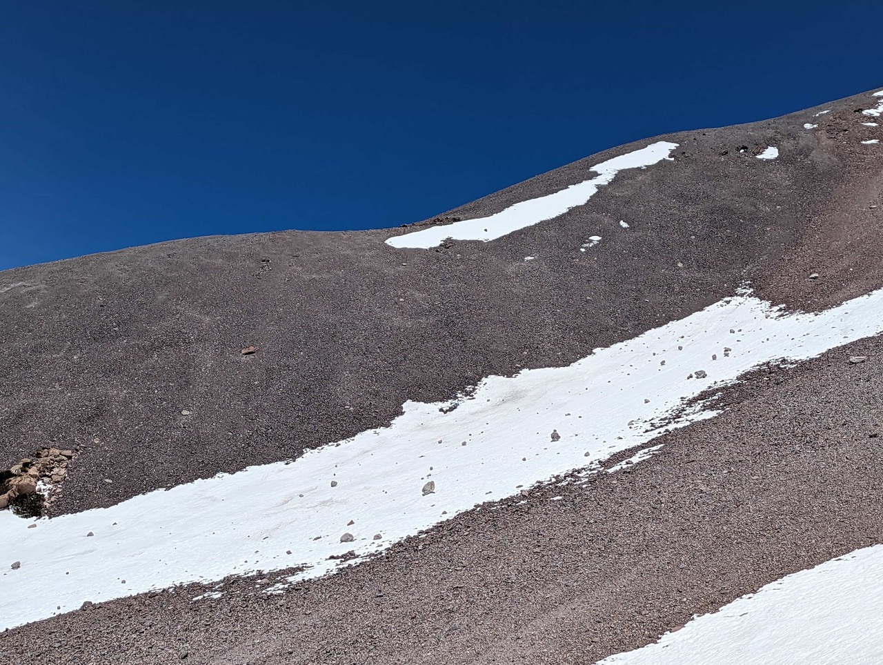
At 11,000 feet, we encountered a booter from folks going up the standard route from Bunny Flats. We booted up to the crater rim at 12,000 feet. There are still three blades of snow on the solar aspects of Shastina, but only a couple of feet deep. Soon, the volcanic shale will come through.
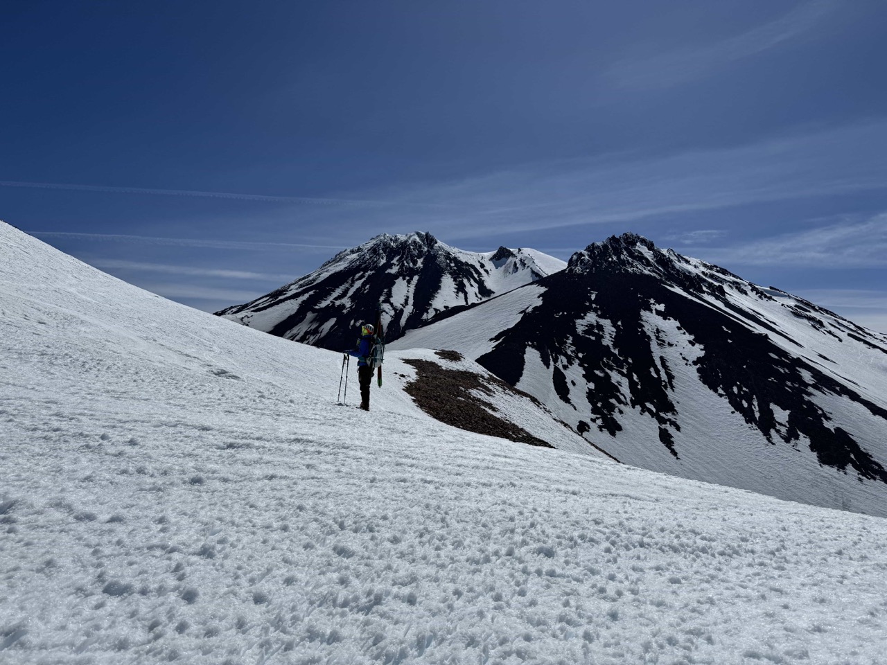
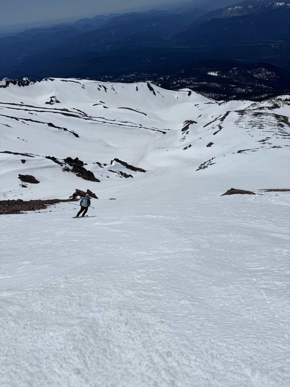
The last 300 feet are the little hill inside that crater, which is quite visible from town. When first reaching the crater, I thought it was all rime ice and unskiable. However, as we got closer, it turned out to be completely skiable, but with a few volcanic shale sharks below!
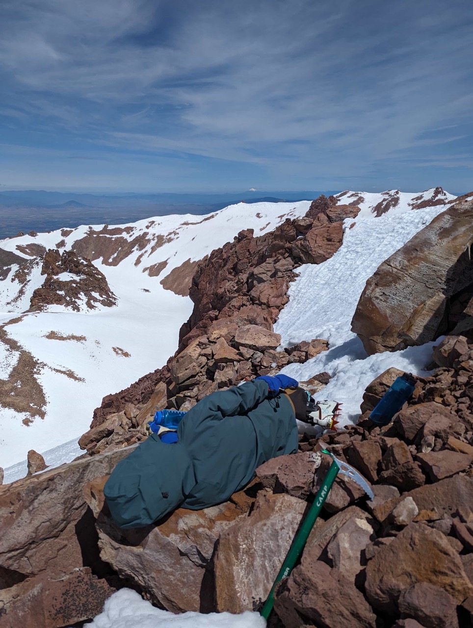
We reached the summit at our target time of 10:45 a.m. But even the solar aspects were ice-hard at 10:45 a.m. We waited at the summit until noon, and the west (the Diller aspect) was still firm. So, at 12:30 p.m., we did a lap 1,000 feet down the Lightning Bolt. That was about perfect timing for that south-facing aspect of Shastina.
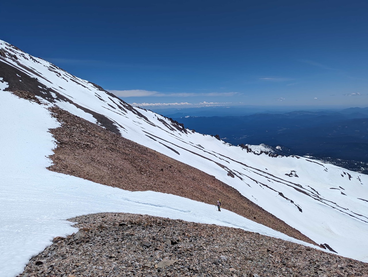
We booted up the Lightning Bolt a second time and descended through the Crater to the entrance of Diller. A few turns on the north aspect of the crater were still ice-hard.
We turned into the entrance of Diller at around 2 p.m. It was perfect timing for that west-facing aspect. We stayed slightly on the skiers’ right (south-ish) in the chute until about 9,500 feet, when it got sticky. Then we stayed on the left (north-ish) side until the end of the snow.
It was a quick walk from the old road to the nearest drivable point at 7,100 feet.
Such a direct, sweet line, and a