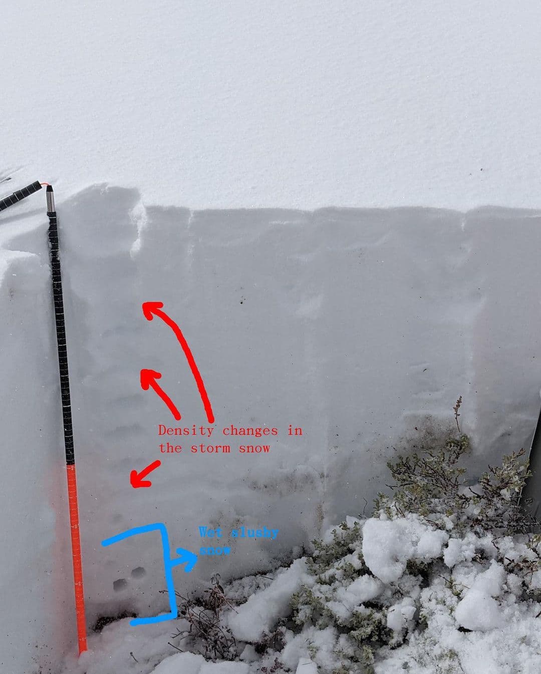
In case you missed it, quite a lot of snow fell on the higher elevations of California’s Sierra Nevada yesterday. As a result, the Sierra Avalanche Center ventured into the Mount Rose backcountry to look at the snowpack. As the first significant snow on the ground, this storm will dictate how avalanche conditions shape up for the rest of the season.
Here are their findings:
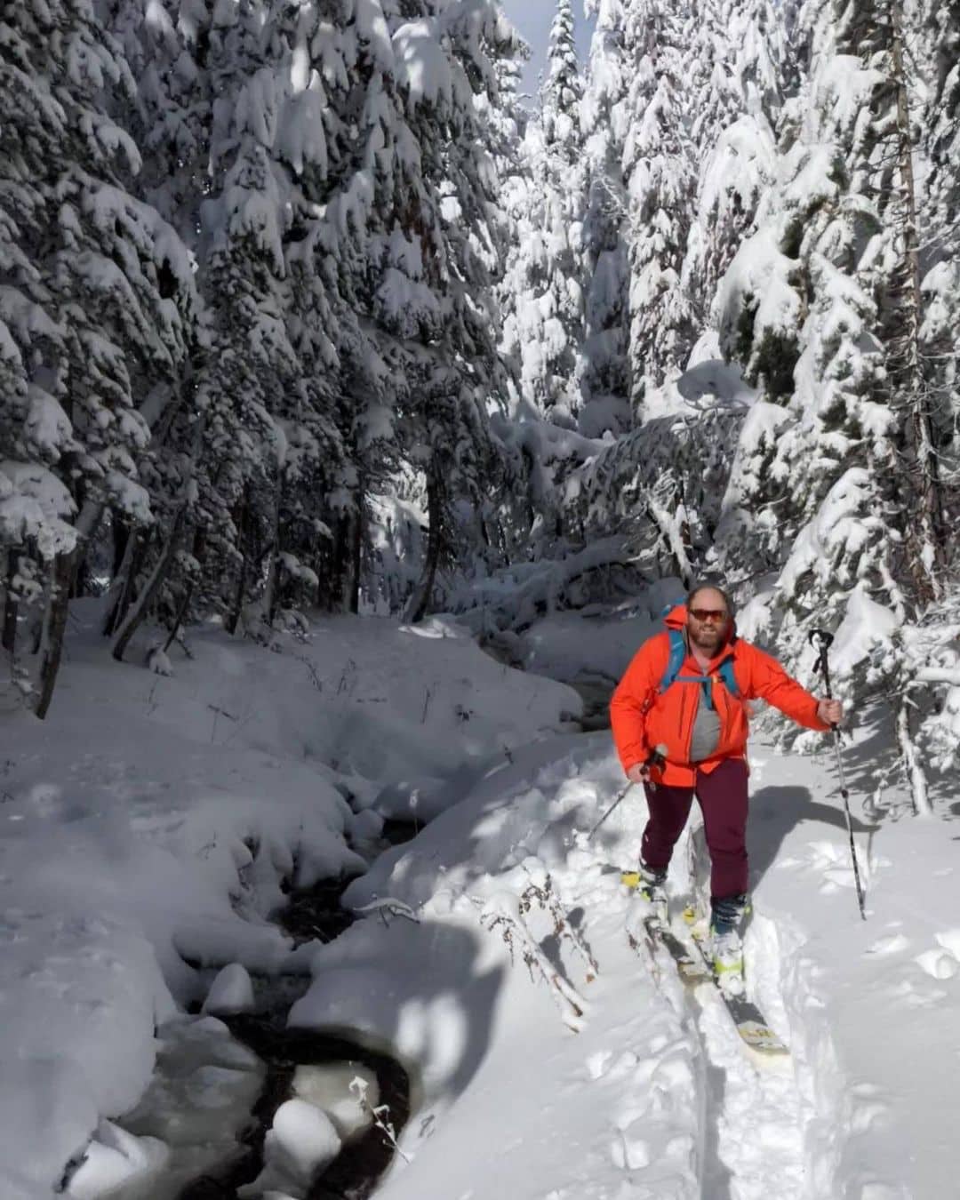
10.25.21 We went to the Mt. Rose backcountry to take a look at the start of the winter snowpack. Over the last 24 hours, more than 10 inches of water fell on the Rose area. Most of this fell as rain since the snow level was above 10,000 ft during much of the storm. Snow level dropped last night and 2-3 feet of heavy wet snow accumulated above 8000 ft. in the Mt. Rose area. Last week I was running in shorts and a t-shirt across the top of Mt. Rose; today we had to break trail through knee to thigh deep, thick, heavy snow.
We had plenty of time to look at the snowpack as we slowly plowed our way through it. In this area, no old snow existed below the storm snow. Near the base of the snowpack was about 8 inches of slushy wet snow. A few density changes existed in the storm snow above the saturated layer. Snowpit tests in the sheltered areas did not indicate instability.
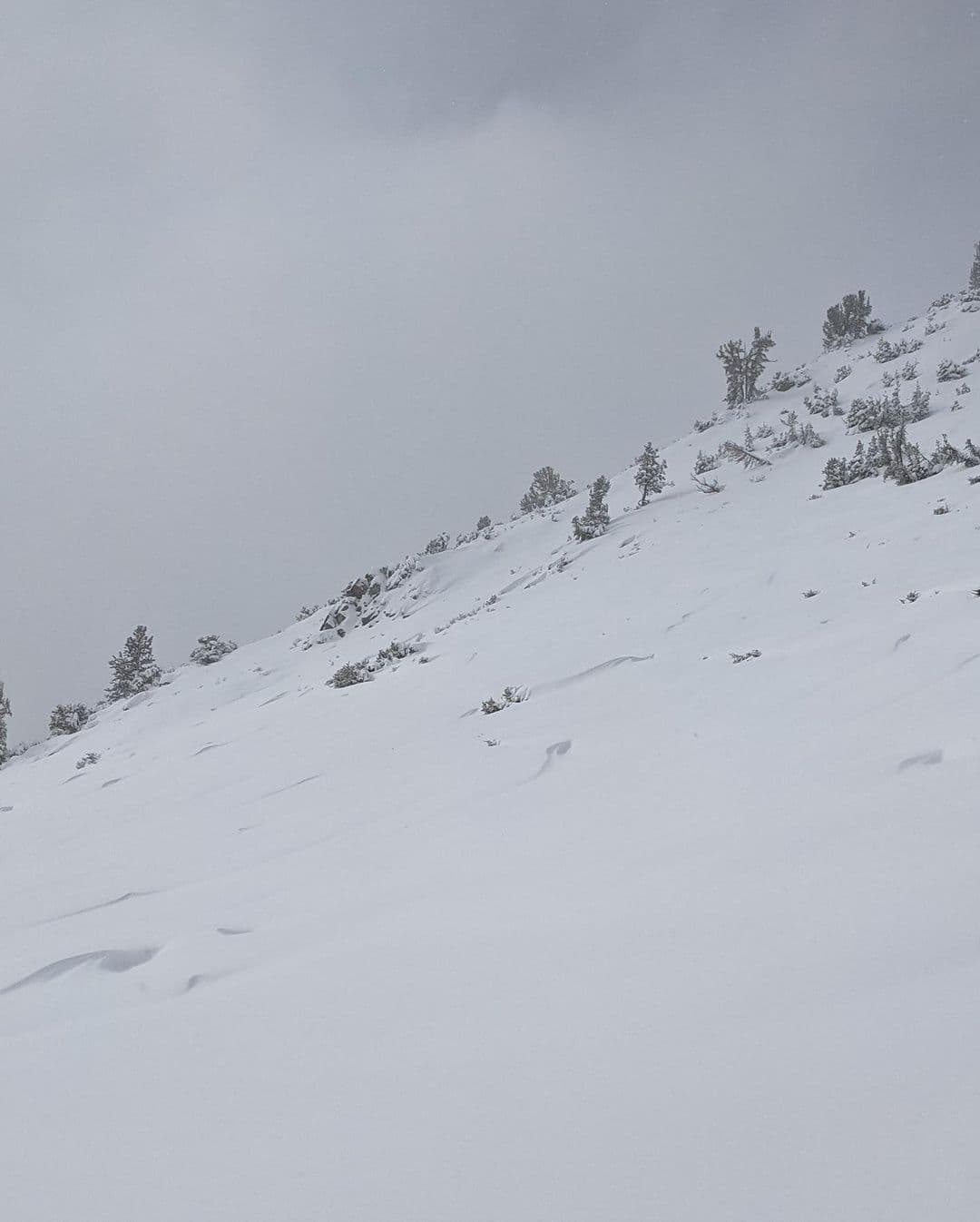
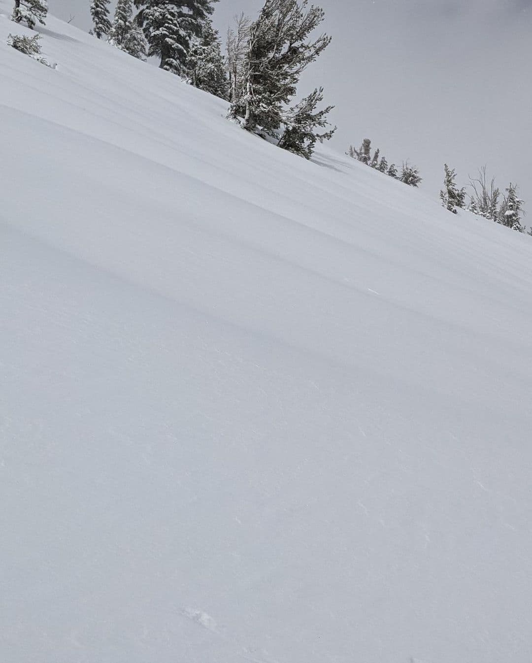
When we moved into one more exposed area, we started to see signs of wind transport. We saw large ripples on the slope adjacent to us and started to feel a more cohesive layer of drifted snow on the surface. Snowpit tests near the edge of this wind-loaded slope did not produce glaringly unstable results (CT5 RP, ECTN), but those results did indicate more potential instability than in the sheltered areas. We decided to avoid going out onto that steeper wind-loaded slope where we expected a thicker more cohesive wind slab to be.
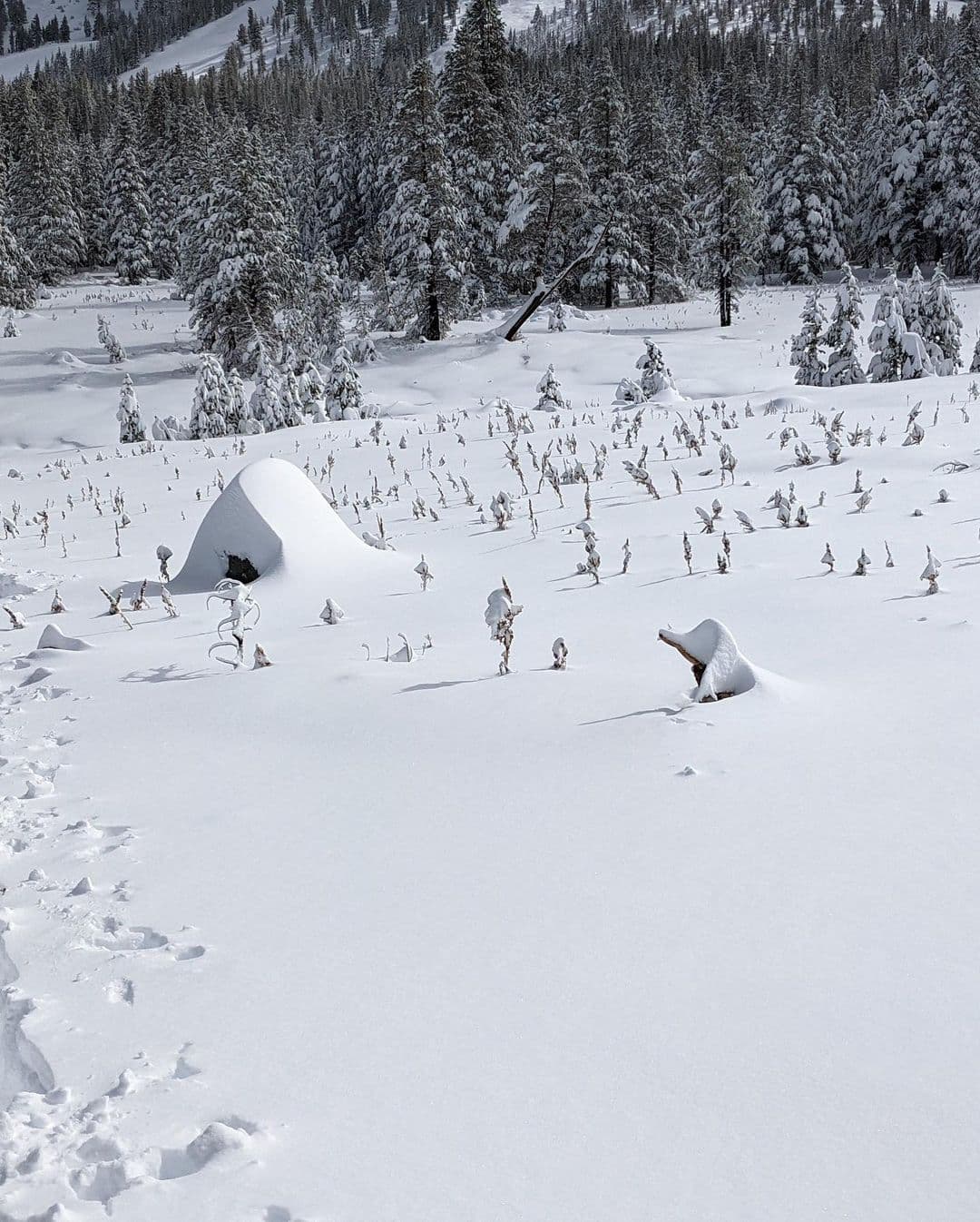
On the descent, we continued to stay on lower angle slopes in hopes of avoiding any obstacles lurking below the snow surface. We could see the tops of bushes, some logs, trees, and many other things poking out of the snow. The creeks also remained open and were full of water.
The forecast on their website says:
Avalanche concerns over the next few days will focus on loose wet avalanches and wind slab avalanches. Loose wet avalanches are a concern in areas where existing snow on the ground becomes saturated by rain. Wind slab avalanches will be a concern along the upper and mid elevation ridgelines where wind drifted snow will rapidly accumulate. Even though this storm is going warm to cold which can sometimes help to limit instability, the precipitation intensity combined with the rapid accumulation of wind drifted snow will create plenty of opportunity for areas of unstable snow to form. As mentioned above, our data is limited this time of year so please submit your observations to SAC and help us to start collecting data on the snowpack. Even very simple observations are helpful.
If you venture out to snowcovered terrain, travel with an avalanche terrain avoidance mindset and take your companion rescue gear (beacon, shovel, probe) with you. There is no reason to leave it behind, even if you are just traveling on foot. It’s always a good time to get out and practice with your companion rescue gear. You don’t even need snow on the ground to practice. Get creative with pine needles, sand, etc.
