When you look at a map of the Pacific Northwest, it’s easy to focus on the iconic Cascade Mountains’ captivating beauty and awe-inspiring volcanoes running north to south. That said, a lesser-known mountain range, the Blue Mountains, aka the “The Blues,” is equally as beautiful, albeit more remote, and positioned in the interior of Washington and Oregon.
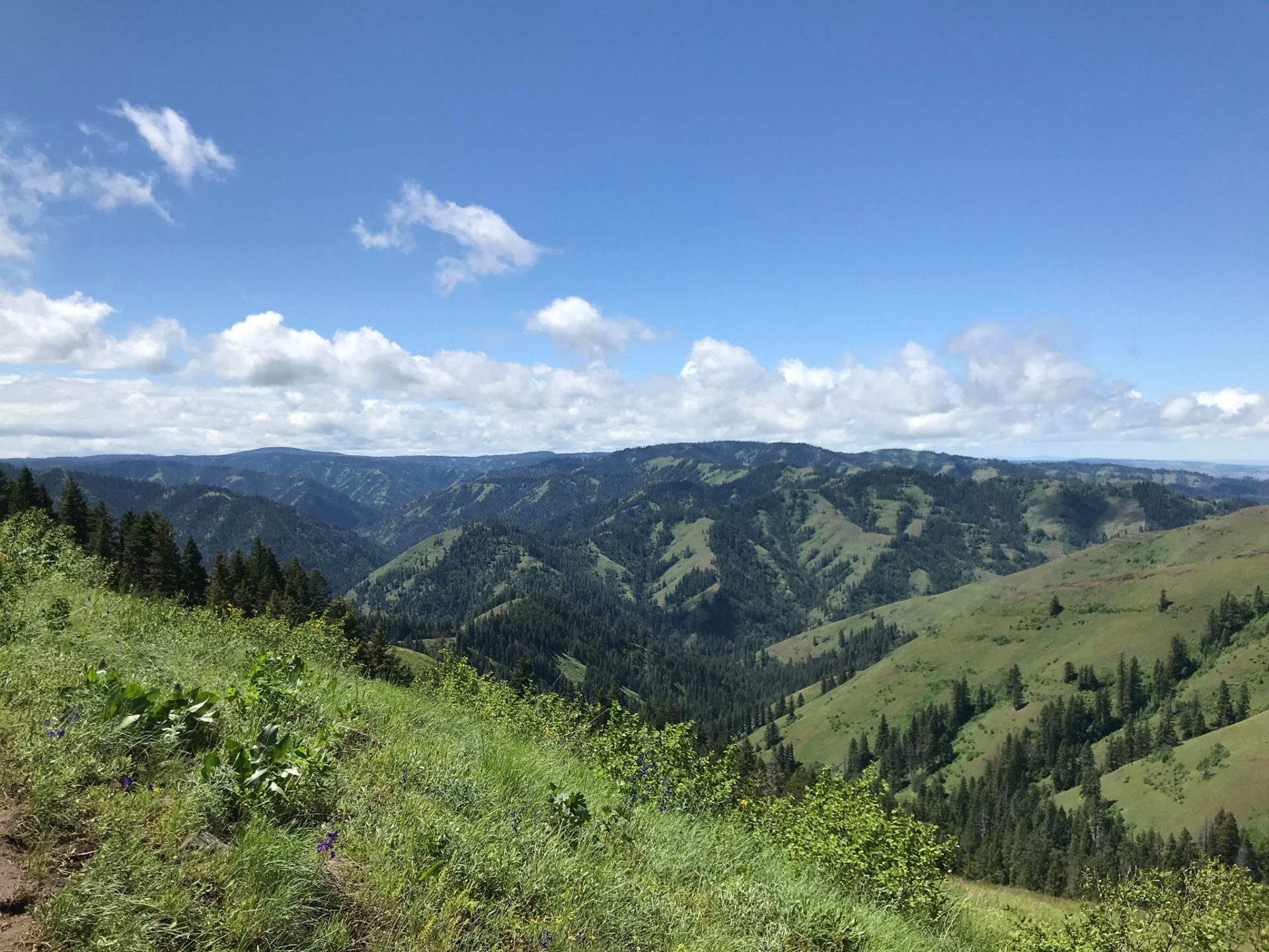
Let’s first gain a solid grasp of the geography and geology of the Blue Mountains. This mountain range encompasses roughly 15,000 square miles from southeast Washington to northeast Oregon. The Blues consist of various mountain ranges like the Ochoco, Maury, Aldrich, Strawberry, Elkhorn, Greehorn, and Wallowa Mountains. The elevation ranges from approximately 3,000 feet to over 9,000 feet. The topographic qualities of the Blues comprise rolling uplands, deep river valleys, and mountain ranges sculpted by ice-age glaciers hundreds of feet thick.
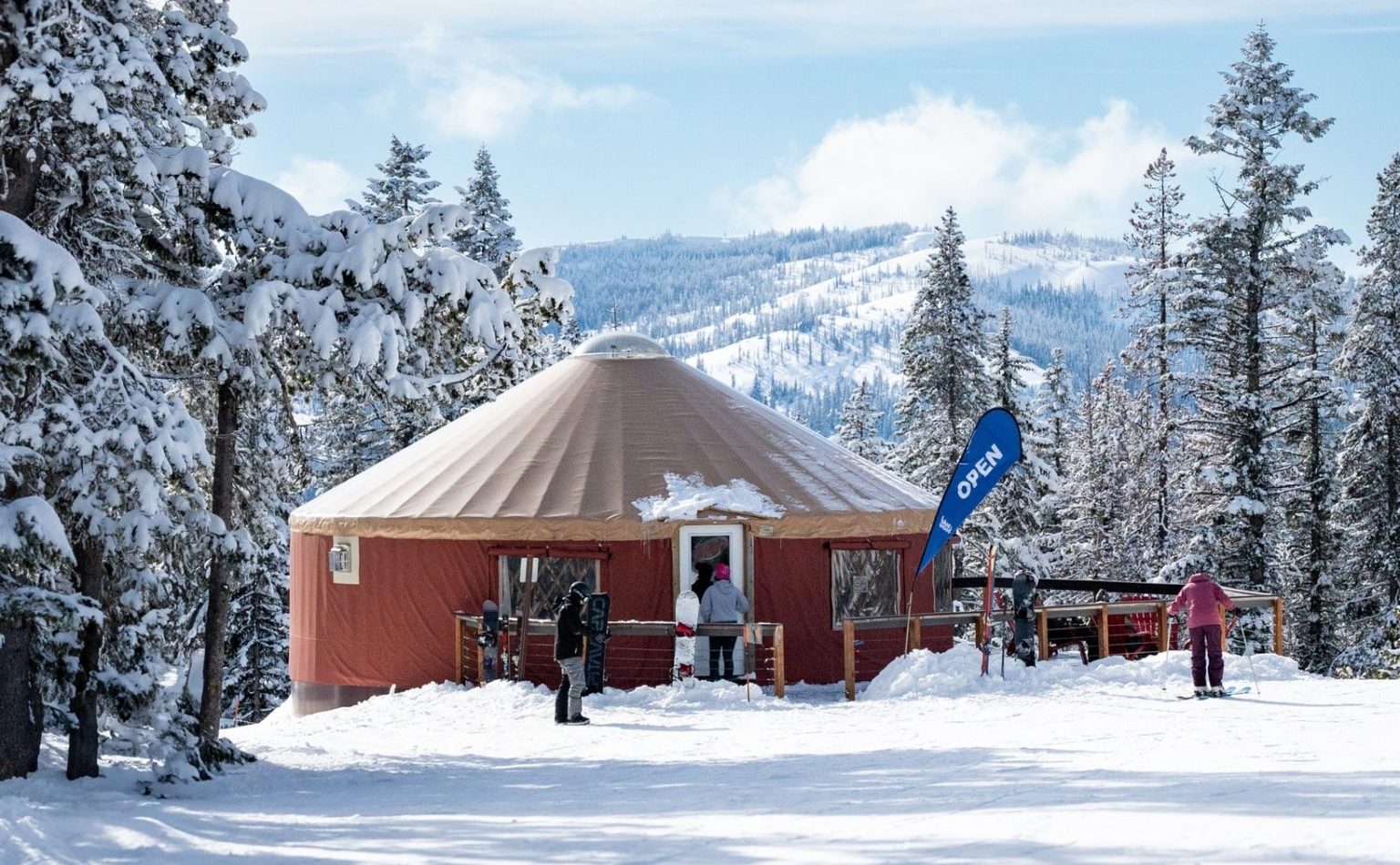
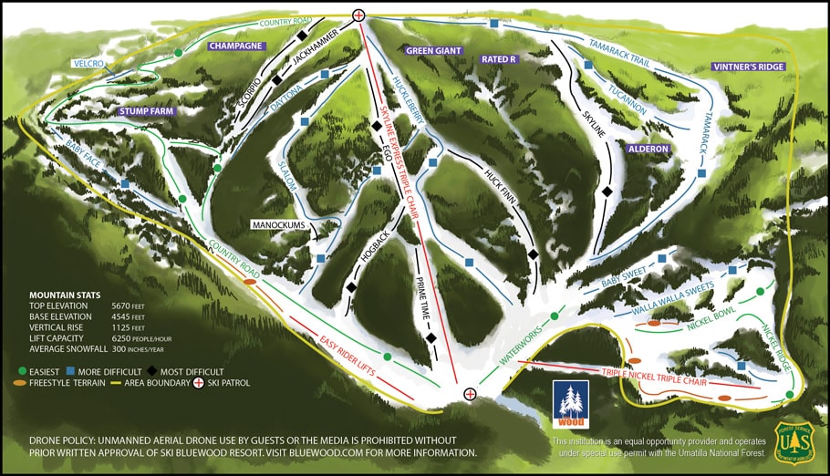
Our first stop begins at Ski Bluewood in ”The Blues” of Southeast Washington in the Umatilla National Forest. Bluewood seems to fly under the radar due to its remote location in a less populated area of Washington. This ski area stands out because it has the second-highest base elevation of any ski area in the entire state at 4,545 feet. It peaks out at a respectable 5,670 feet. The average annual snowfall is around 300 inches.
You might wonder why this amount is relatively low for a state known for its big snowfall. The reason is that the Blue Mountains are situated in the rainshadow (dry, eastern side) of the Cascade Mountains. Coupled with a modest elevation of just under 6,000 feet, this results in less total snowfall. Despite a lesser amount of total snowfall, it makes up for this by having dry powdery snow compared to the Cascade concrete snow. Not a bad trade-off if you ask me!
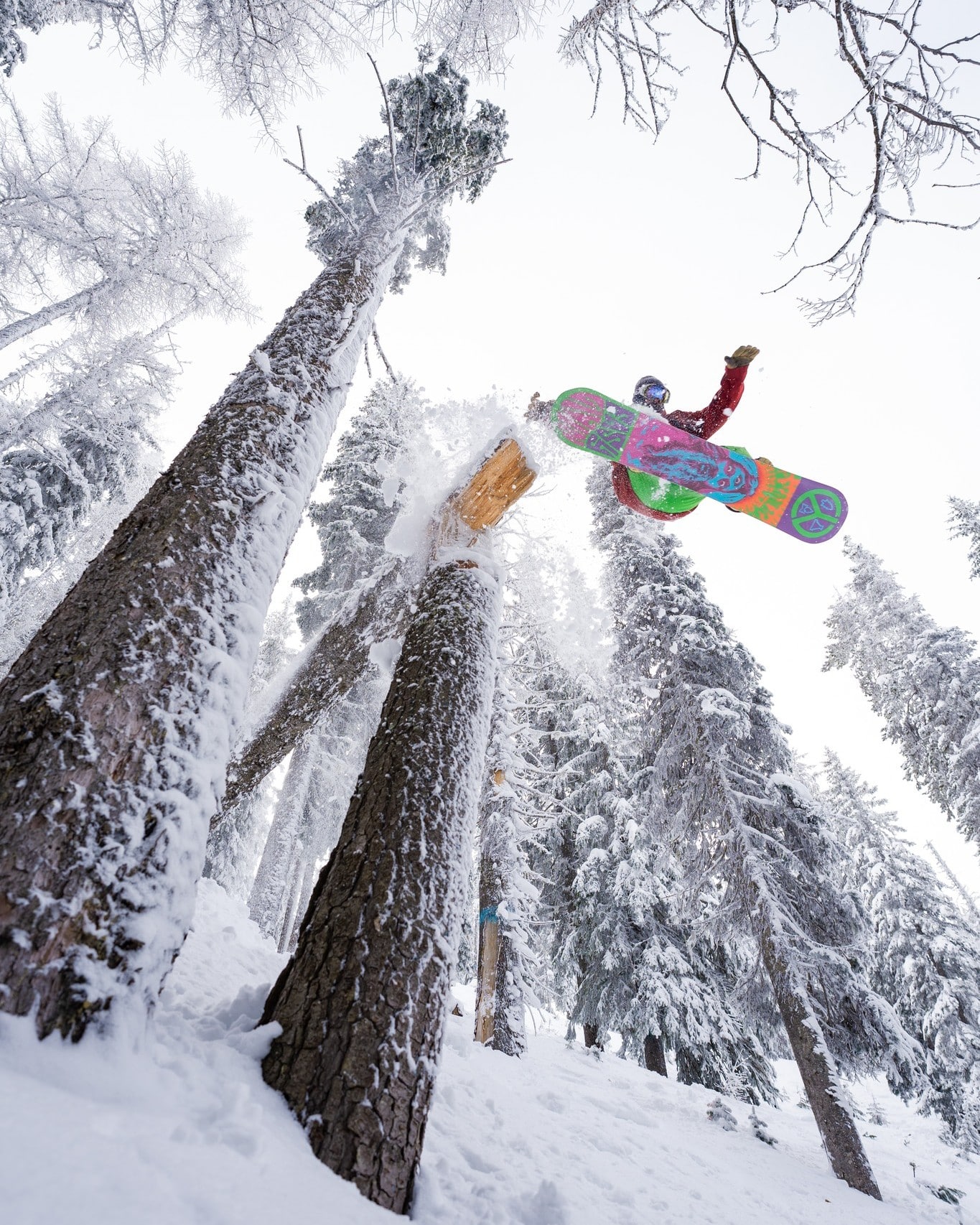
This mountain ski area boasts nearly 400 skiable acres of lift-provided terrain for all skill levels. Four lifts in total give way to 24 trails. One of the stand-out features at Bluewood is its spectacular tree skiing! You can’t beat that!
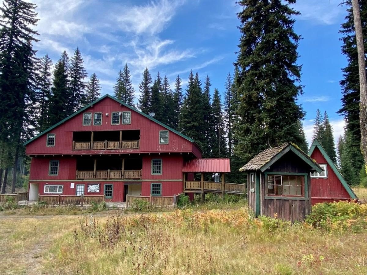
The next ski area, Spout Springs, is a true classic in the Blue Mountains of Northeast Oregon. Located off Highway 204 (Weston-Elgin Highway) and southeast of Tollgate, it is nestled within the picturesque Umatilla National Forest. With a base elevation of 4,902 feet and a summit of 5,500 feet, Spout Springs boasts a vertical drop of 610 feet across its 1,143 acres. The diverse terrain is ideal for beginners, intermediate skiers, and snowboarders, with an average annual snowfall of roughly 115 inches. The area features 13 downhill runs, accessible via two fixed-grip double chairlifts, and some runs are even illuminated for night skiing! It also features over 20 miles of Nordic skiing.
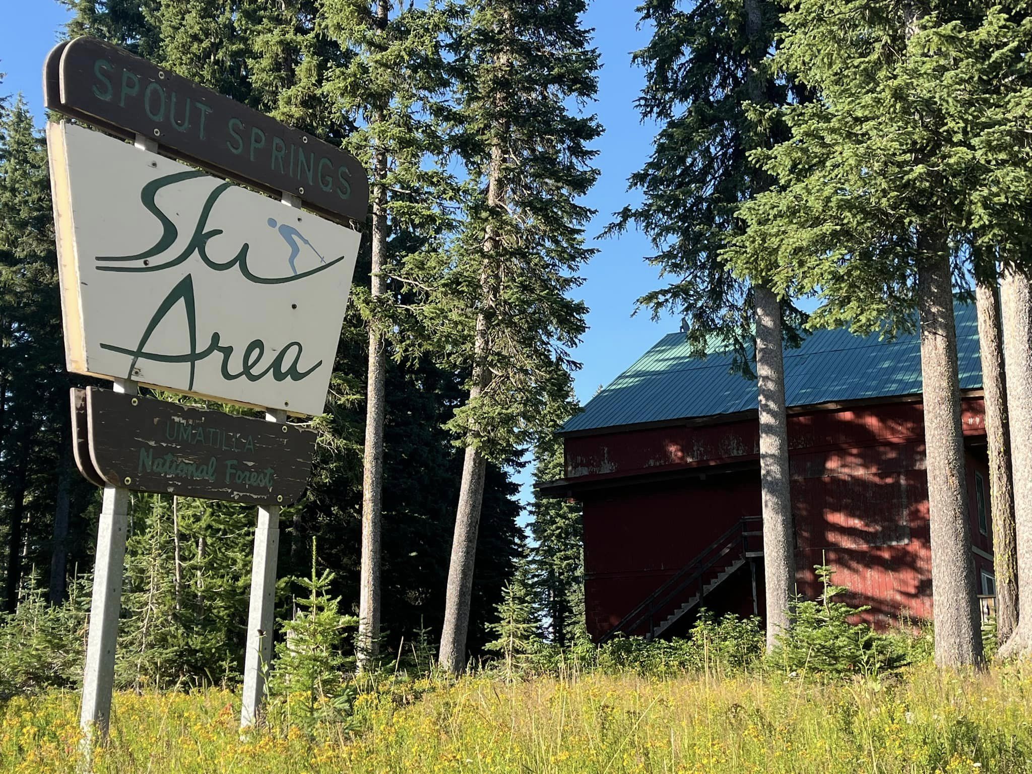
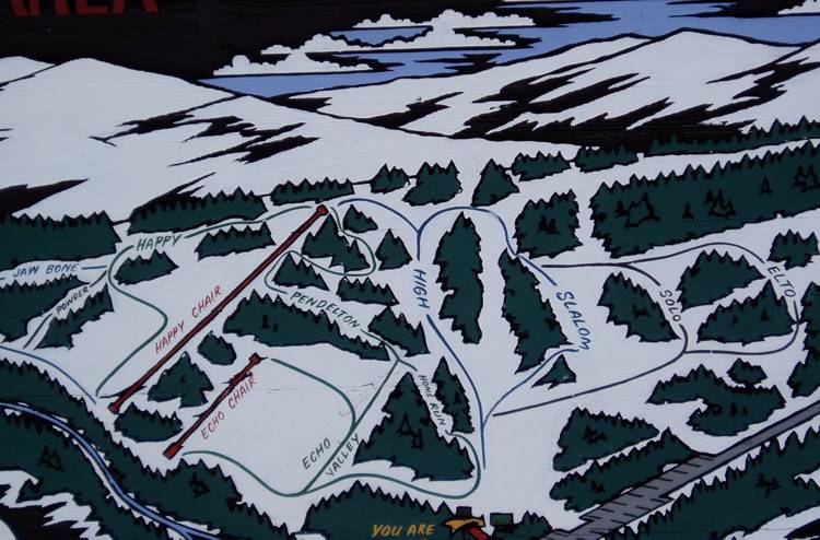
As I share this, Spout Springs Ski Area is currently closed and up for sale for $1.25 million. It was publicly opened last during the 2017-18 season. The Umatilla National Forest is collaborating with various organizations within the Federal government to iron out the next steps in securing an operator. Hopefully, this classic ski area will be revived one day. It’s in such an underrated area of the Pacific Northwest. Would you be willing to invest in this if you had the funds? To receive information regarding Spout Springs, please contact Christopher Dennis at christopher.dennis2@usda.gov.
These secluded and remote ski areas offer an alternative to the more crowded and snow-laden Cascade resorts, with plenty of potential for future development, especially if Spout Springs finds a buyer to revitalize this classic area.
