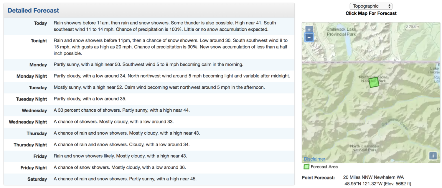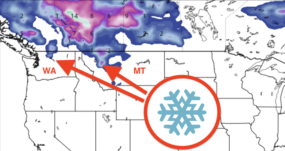
NOAA is forecasting snow in Montana and Washington today.
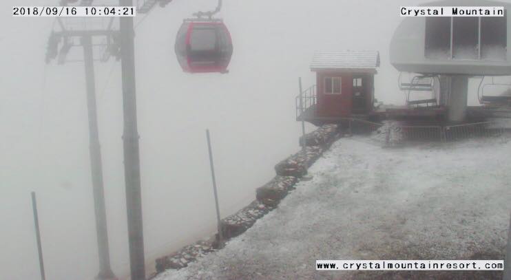
Crystal Mountain, WA’s webcam captures fresh snow today at 10 am.
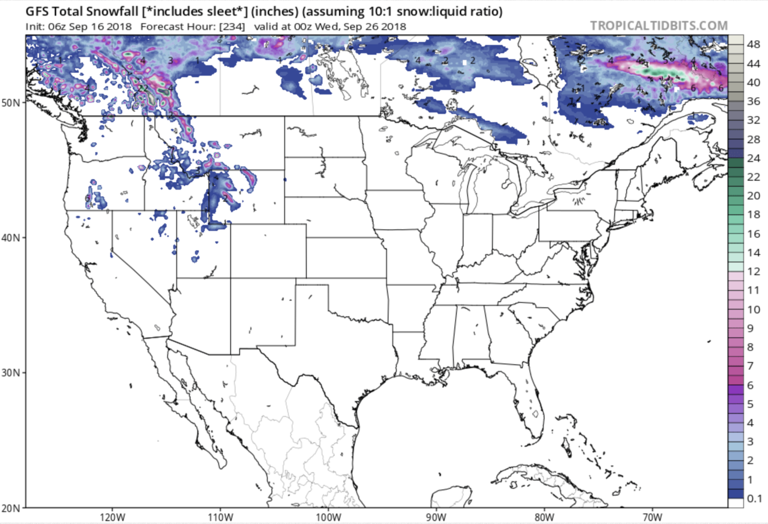
The 10-day GFS weather model is forecasting snow in Wyoming, Idaho, Montana, Utah, Washington, Nevada, Oregon, and California.
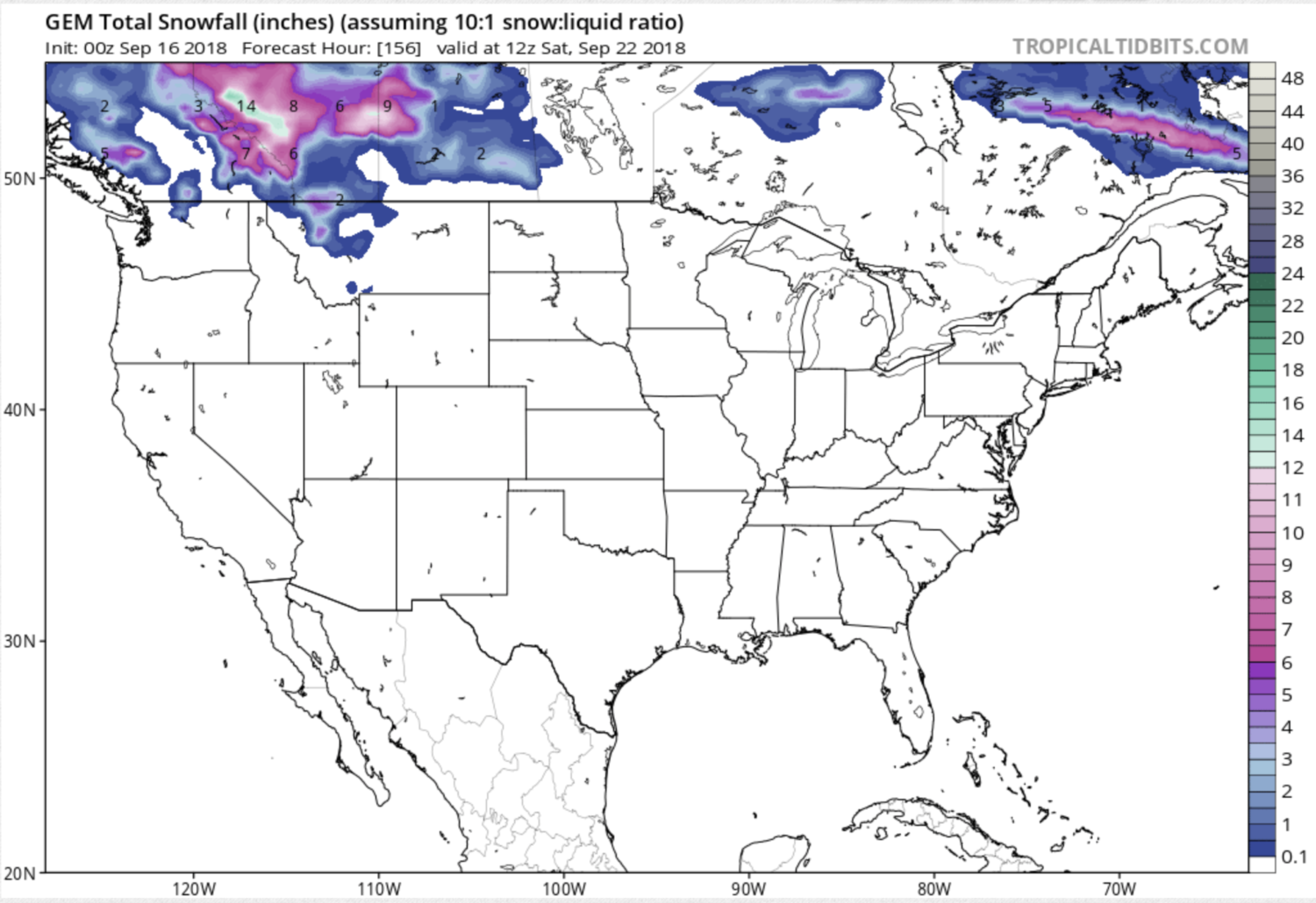
NOAA, the GEM, and the GFS weather models are all forecasting more snow in Washington & Montana next week beginning Friday and continuing through Saturday.
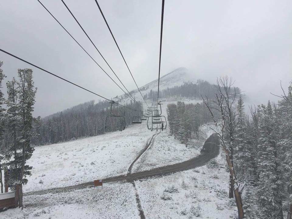
Big Sky ski resort, MT already saw snow last week and more is forecast this week.
Ski resorts in Colorado (Loveland & Arapahoe Basin) usually open next month on artificial snow.
Winter is coming.
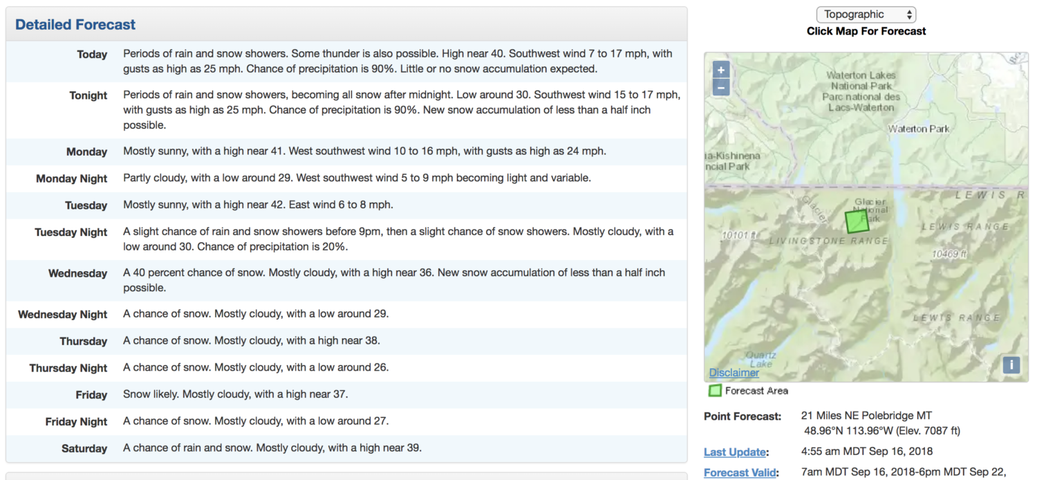
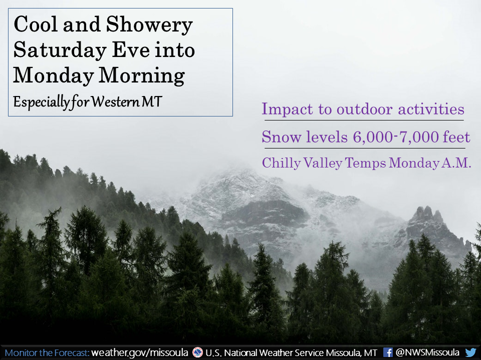
“Shower activity will increase Saturday evening through Monday morning, particularly for western Montana. Snow showers will be possible down to 6,000 to 7,000 feet across northwest Montana, including Glacier National Park, impacting outdoor recreation activities and Logan Pass. Thereafter, a chilly morning is expected for the valleys with temperatures dropping into the 30s and 40s are forecast for Monday morning.” – NOAA Missoula, MT yesterday
"Tuesday night through Saturday..With cold air in place and lowering snow levels, snow will be possible over most of the mountains in Southwest and Central Montana, in addition to the Continental Divide." - NOAA Missoula, MT today
“Have plans to hike in the Cascade high country? Be prepared for cooler temperatures and maybe even some wet snow. Snow levels lowering near 6000 feet Sunday.” ” – NOAA Spokane, WA yesterday
