Brought to you by HAKUBAVALLEY
Summary
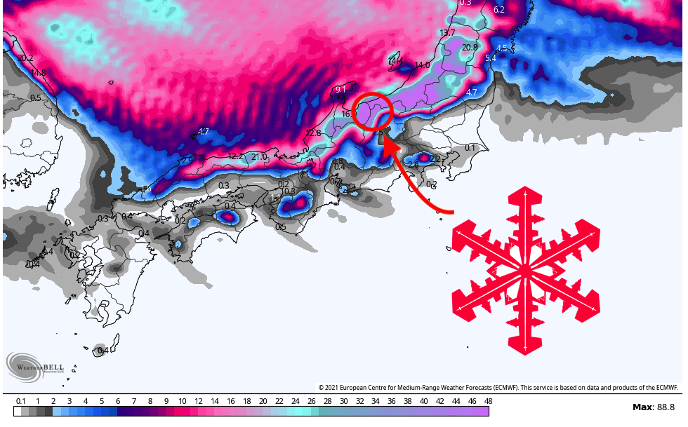
A persistent low-pressure system off Russia’s Kamchatka Peninsula will spin cold, moisture-rich air into Japan’s HAKUBAVALLEY, bringing between 16 and 35 inches to local resorts between Saturday and Wednesday. Another storm is lined up to hit the region late next week with the potential to drop another 1-2 feet of snow. With all the new snow on the way, ski conditions will be excellent heading into January.
Short-term forecast
The first snow should begin falling in HAKUBAVALLEY overnight between Friday and Saturday. There should be 4-5″ of fresh snow by Saturday morning, which will freshen up the snow surface for skiing. Between Saturday and Sunday morning, steady snowfall rates of ~0.2″/hour will allow an additional 5-6″ to accumulate.
Snowfall rates will begin to pick up on Sunday afternoon before decreasing overnight. This push of snow should bring an additional 8″ or so by Monday morning. It will continue to snow all of Monday and Tuesday, with an additional spike in snowfall on Tuesday afternoon and evening. The models vary significantly, but this could drop 8″ or more. Wednesday might be the best day for skiing with so much fresh snow and decreased cloud cover.
Overall, here are the possible ranges that I see for some of the resorts by Wednesday morning:
- Hakuba Cortina – 27-35″
- Tsugaike – 24-32″
- Hakuba Norikura – 21-28″
- Happo-One – 20-26″
- Iwatake – 19-26″
- Hakuba47 – 18-25″
- Goryu – 16-23″
- Kashimayari – 12-18″
- Jigatake – 10-15″
Extended forecast
All global forecast models indicate another storm arriving on Thursday of next week. Details are still up in the air with poor model agreement, but well over a foot is possible for next weekend, just in time for 2022.
