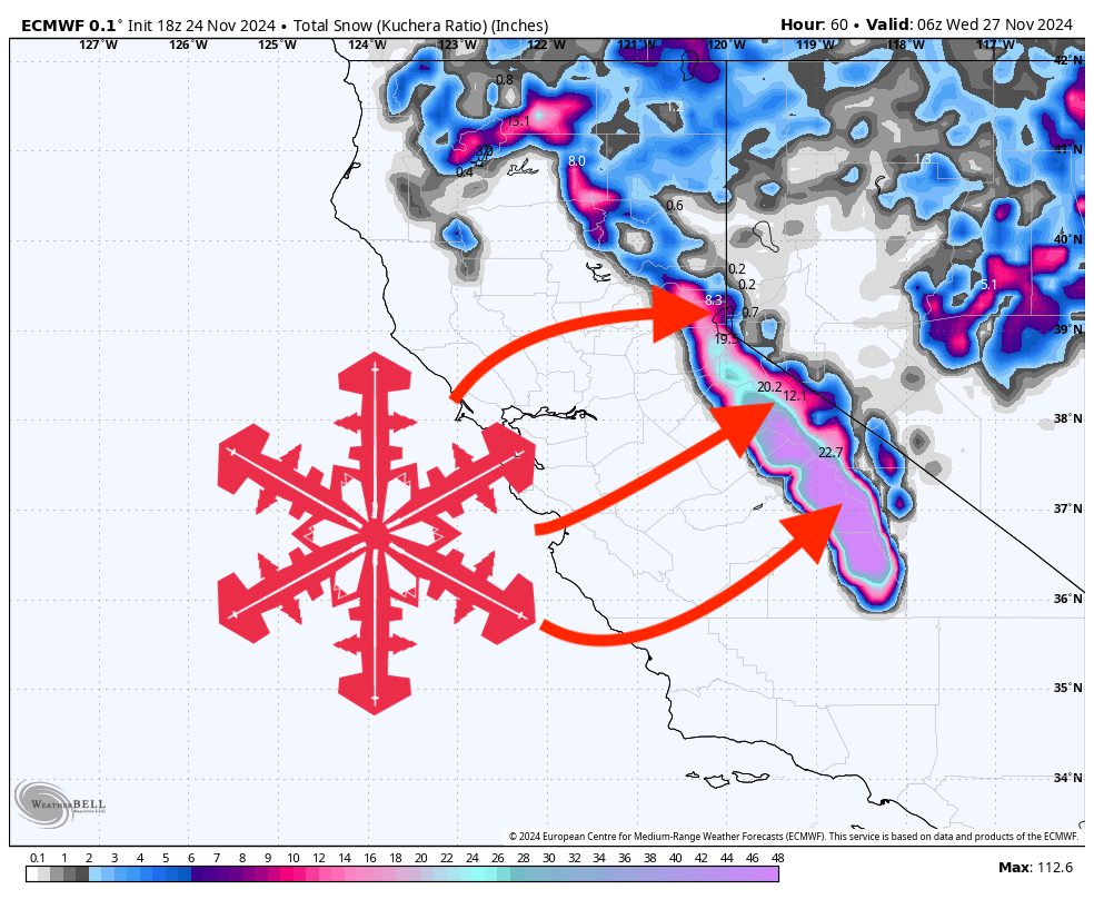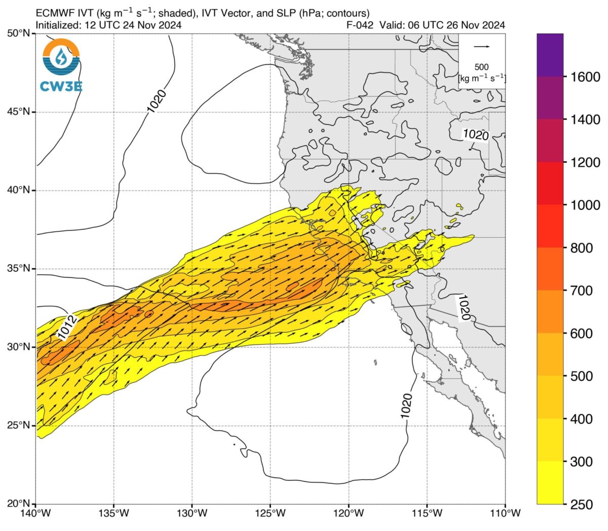
A massive winter storm will roll through California this week, bringing several feet of snow to the mountains. Some regions could see up to 3 feet of snowfall.
This event is a moderate atmospheric river that will target the central and southern Sierra over the next several days. Precipitation will last from Monday morning through Tuesday night.

This storm’s tropical origins mean it’s coming in warm and wet: snow levels will likely spike up to 7,000-7,500 feet on Monday evening/night.
Models agree that the main precipitation bullseye will be placed in the Sierra just north of Mount Whitney. Take a look at the ECMWF (left) and GFS (right) precipitation forecasts by Wednesday morning. Notice the surprisingly good model agreement here!

The heaviest precipitation amounts will be further south, which means the Tahoe region will be snubbed from the brunt of it. Here are snowfall forecasts for mid-mountain elevations around California:
- Sugar Bowl: 8-16 inches
- Palisades Tahoe: 8-16 inches
- Northstar: 4-10 inches
- Mount Rose: 4-10 inches
- Heavenly: 7-12 inches
- Kirkwood: 10-22 inches
- Mammoth: 26-36 inches
Looking ahead, southern California will see a very brief shot of precipitation late this week/weekend, but will likely not bring any accumulations to ski resorts.