Forecast By SnowBrains Chief Meteorologist – Eric McNamee
9:35 pm MST, 3/27/2022
Forecast Summary:
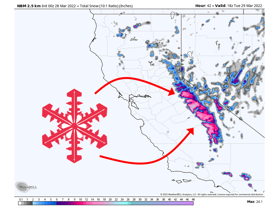
A closed low will move through California and bring 6-12″ of snow to the Sierra through Tuesday.
The closed low will transport moisture into the state and drop a decent amount of snow across the southern Sierra.
The heaviest of the snow will come Monday morning/early afternoon.
Resorts that will see the most snow are Mammoth, June Mountain, and Dodge Ridge.
Short-Term Forecast:
Sunday Night-Tuesday:
A closed low will move through California and bring 6-12″ of snow to the Sierra through Tuesday.
Snow will start late Sunday night and continue through the day Monday.
Snow levels will initially start around 7000′ and then drop to 5500-6000′ Monday morning.
The heaviest of the snow will come Monday morning/early afternoon as the main plume of moisture slams into the Sierra.
Snow will then continue into Monday night and taper off through the day Tuesday.
Winter Weather Advisories have been issued in anticipation of this.


Long-Term Forecast:
Wednesday-Sunday:
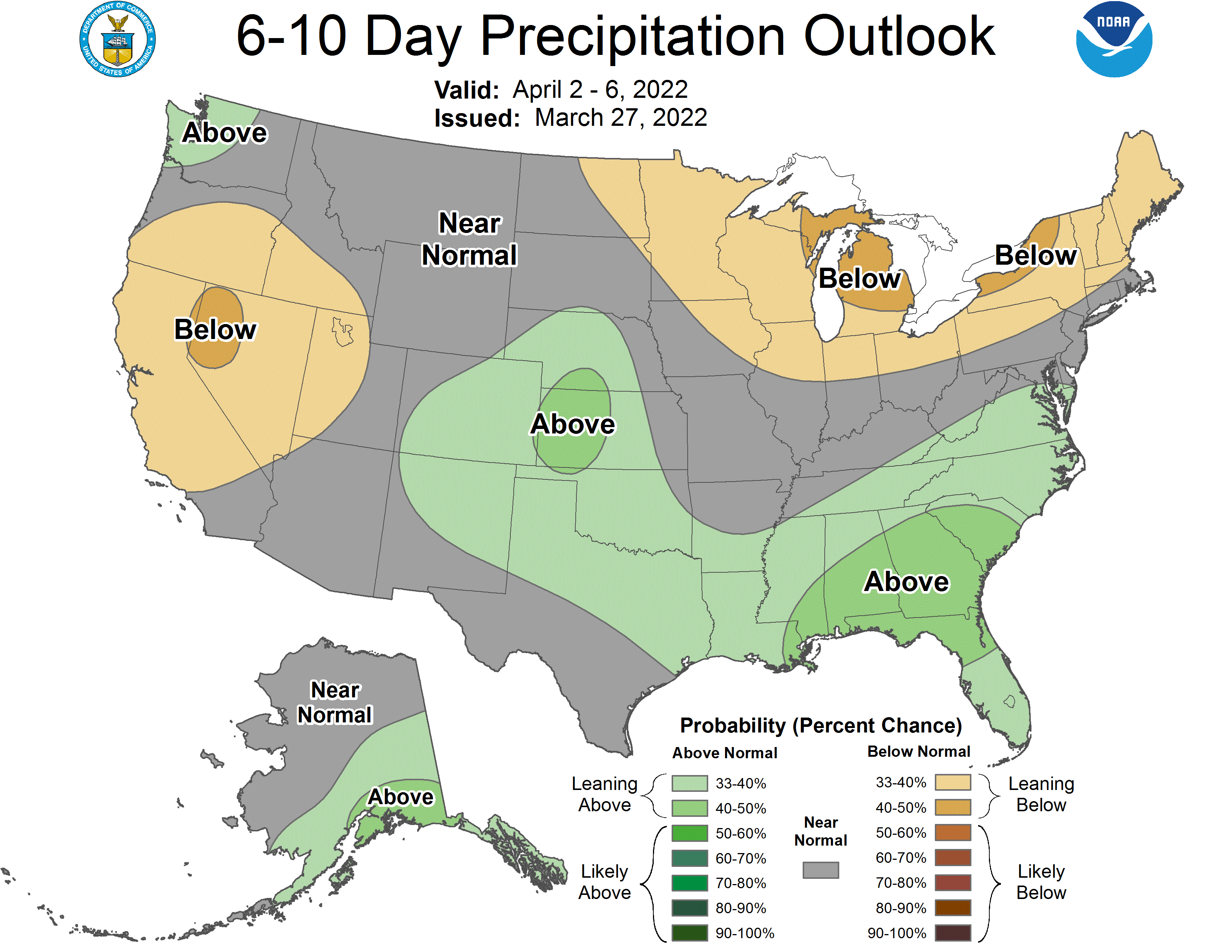
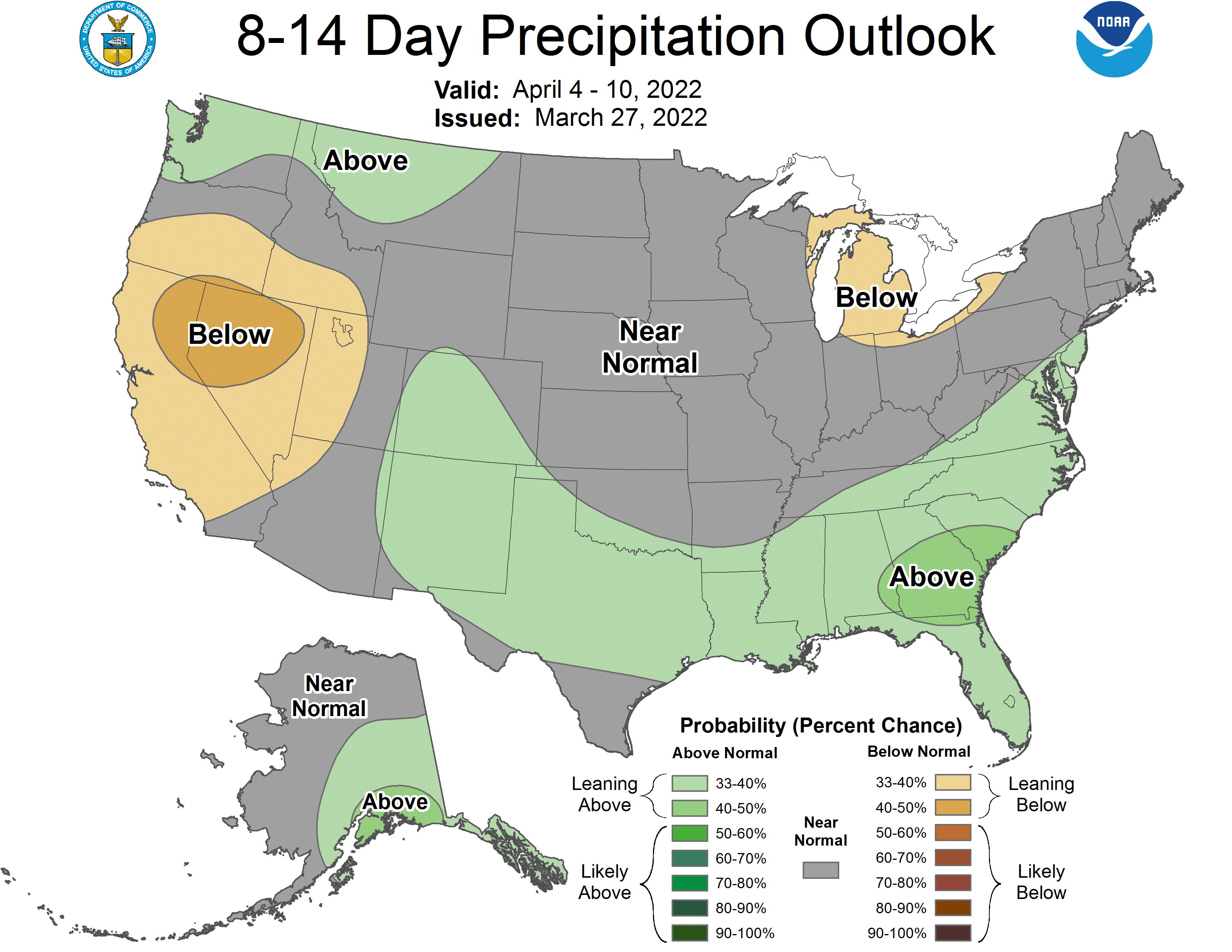
Dry weather is then expected through the long-term as a ridge of high pressure builds off the coast of California.
Extended Forecast:
Sunday and Beyond:
Global ensembles indicate below-average precipitation across California through the extended.

