Forecast By SnowBrains Meteorologist – Eric McNamee
10:10 AM MST, 2/19/2021
Forecast Summary:
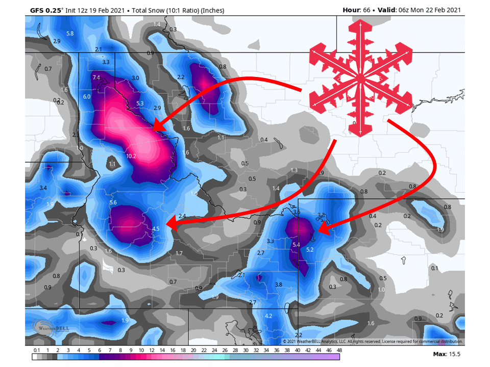
A shortwave trough will move through the Northern Rockies today and tomorrow, bringing 6-16″ of snow.
Another shortwave trough will move into the region Monday and bring more snowfall to the region.
An active pattern looks to persist through the extended period of the forecast.
Resorts that look to see the most snow are Whitefish Mountain, McCall, Tamarack, Schweitzer, Grand Targhee, and Jackson Hole.
Short-Term Forecast:
Monday-Wednesday:
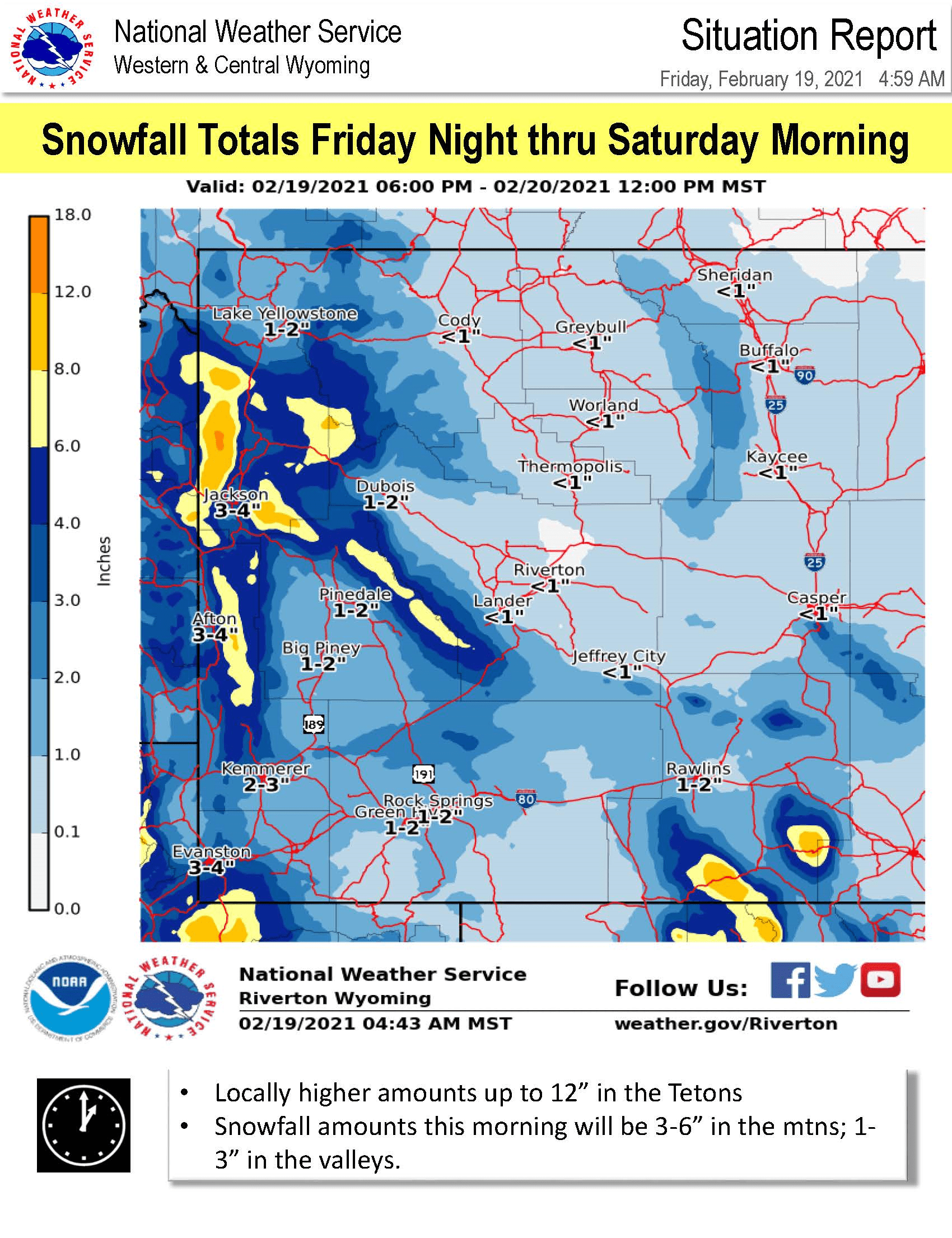
A shortwave trough will move into the region today and tomorrow, bringing 6-16″ of snow to the region through Sunday.
Snowfall has already started across most locations and will pick up in intensity later tonight.
Unstable northwest flow will keep snow going through Sunday behind the cold front.
This has prompted the National Weather Service to issue Winter Weather Advisories across the region.
Avalanche Forecast:
Currently, most avalanche centers in the region have conditions as considerable, with some moderate conditions.
These could be upgraded through the weekend so make sure to keep an eye out for avalanche forecasts.
Long-Term Forecast:
Thursday-Sunday:
Getting into next week, another shortwave trough will enter the region from Canada, bringing additional snowfall.
Right now snowfall totals aren’t certain, but it looks like it could be pretty decent.
Another shortwave trough will move into the west later next week.
Extended Forecast:
Sunday and Beyond:
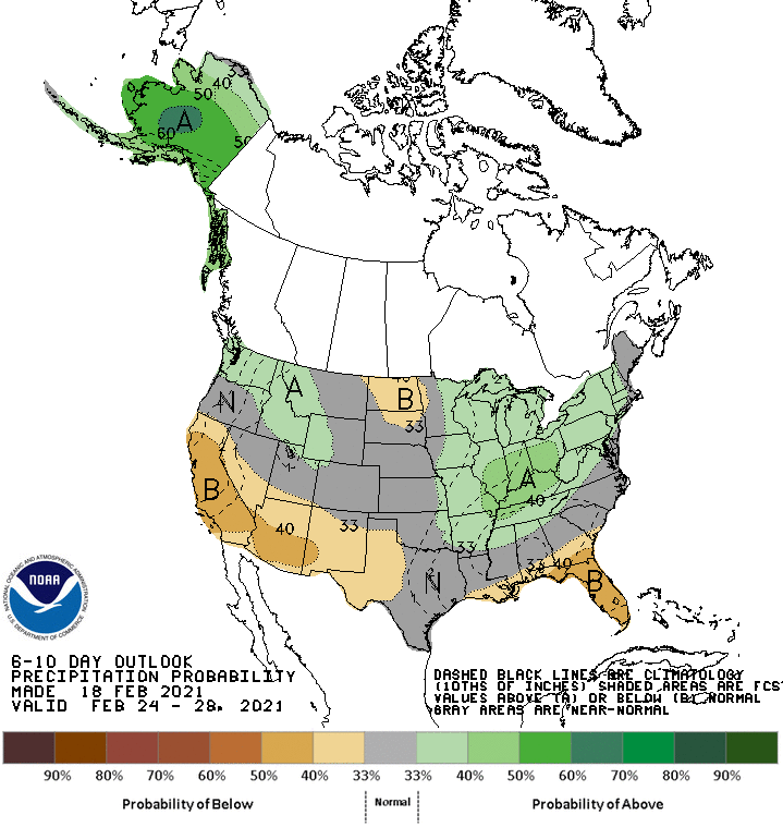
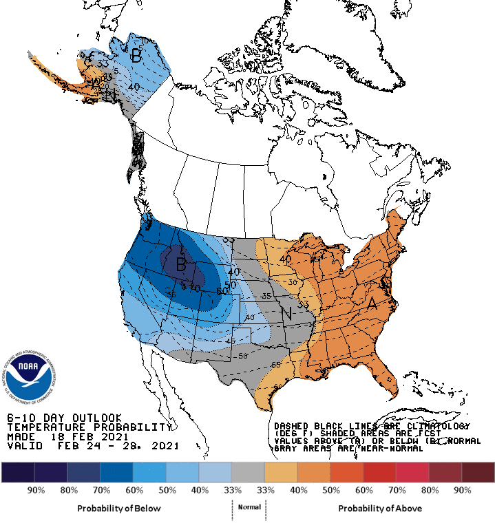
Global ensembles indicate near-to-above-average precipitation across the Northern Rockies, with below-average temperatures.


