Forecast By SnowBrains Chief Meteorologist – Eric McNamee
4:40 pm MST, 3/8/2022
Forecast Summary:
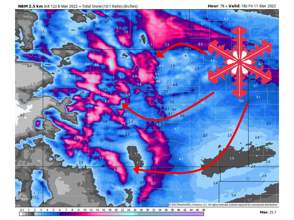
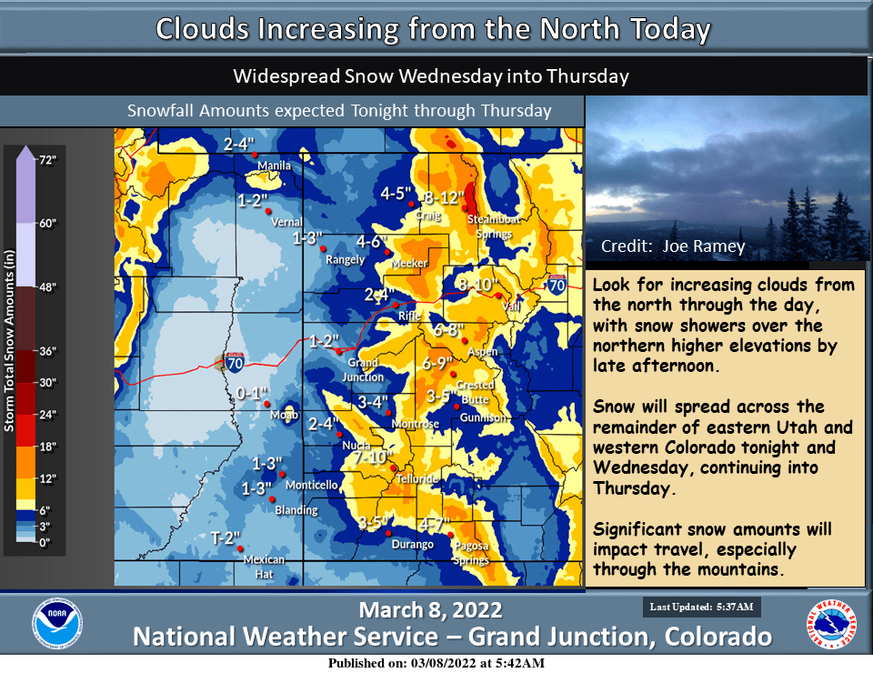
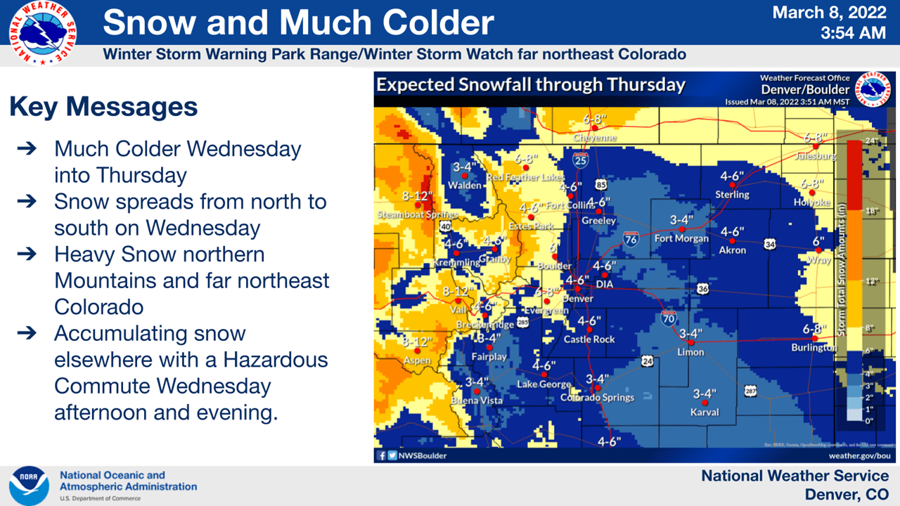
Two shortwave troughs will move through Colorado and bring 8-24″ of snow to the mountains through Friday morning.
Snow will begin to fill in from the north Tuesday night into Wednesday as the first shortwave trough moves into Colorado.
The second shortwave will bring snow to southern portions of Colorado Thursday into Friday morning.
Places to see the most snowfall are Steamboat, Winter Park, Loveland, Eldora Mountain, Keystone, Arapahoe Basin, Monarch, Wolf Creek, and Telluride.
Short-Term Forecast:
Tuesday Night-Friday:
Two shortwave troughs will move through Colorado and bring 8-24″ of snow to the mountains through Friday morning.
Snow will begin to fill in from the north Tuesday night into Wednesday as the first shortwave trough moves into Colorado.
This will continue through Wednesday before tapering off a bit Wednesday night into Thursday as moisture from the first shortwaves moves off to the east.
The second shortwave trough will bring in moisture, primarily to southern portions of the state Thursday afternoon/night.
Snow will then continue through the night Thursday before tapering off Friday morning.
This has prompted the National Weather Service to issue a Winter Storm Warning and Winter Weather Advisories for the area.
Long-Term Forecast:
Saturday-Tuesday:
Dry weather is expected through the weekend as high pressure builds back over the region.
This will continue into the first part of next week, with a week system possible in the middle of next week.
Extended Forecast:
Tuesday and Beyond:
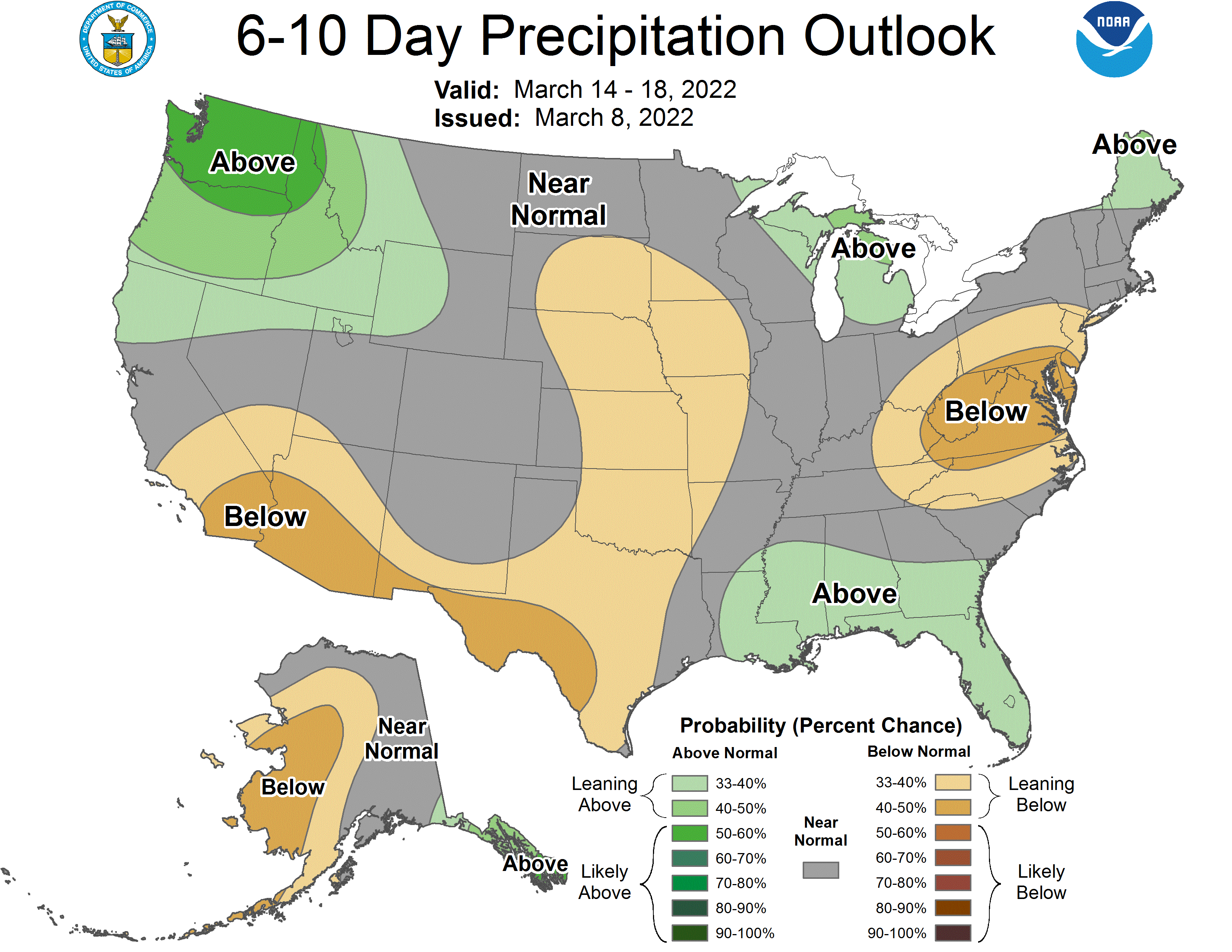
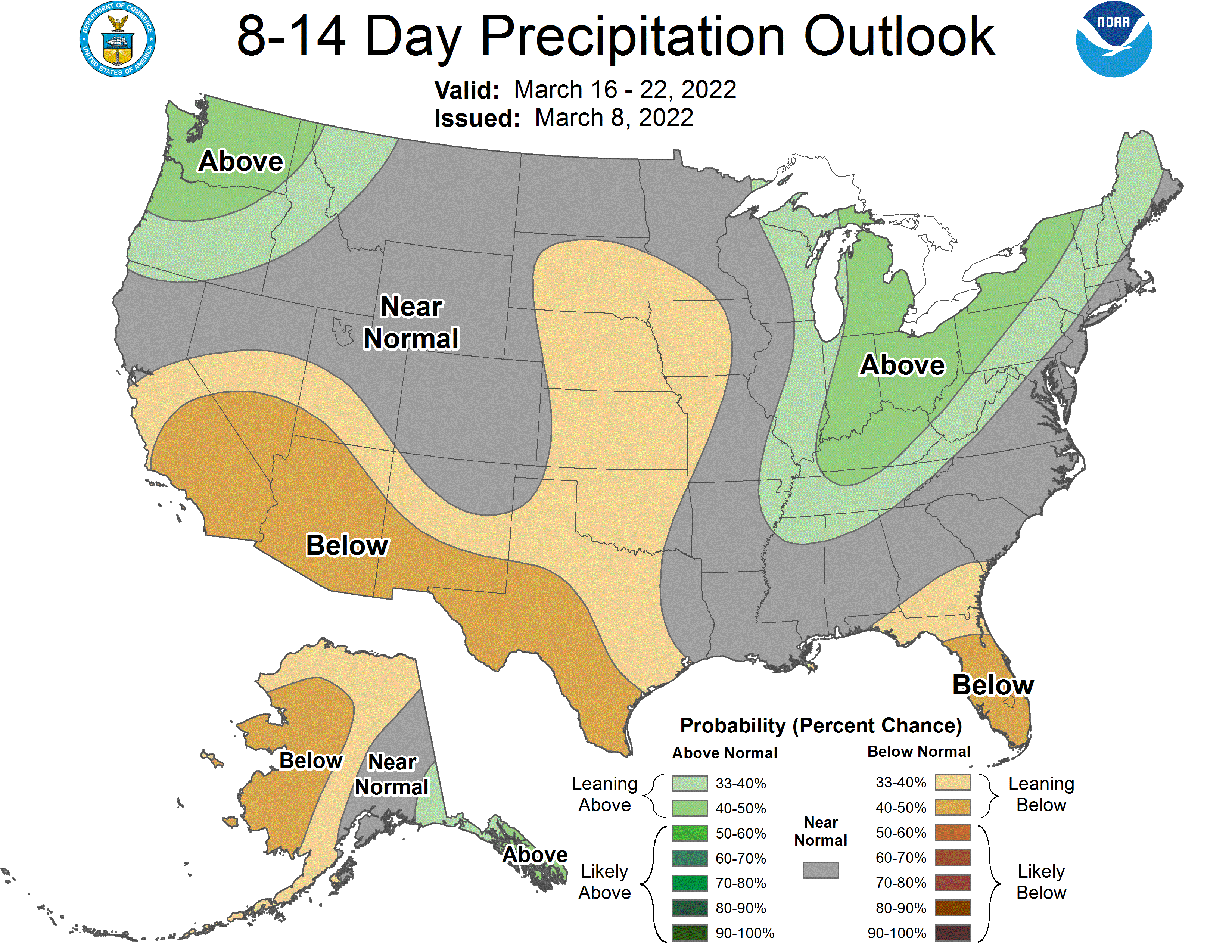
Global ensembles indicate near-average precipitation and below-average temperatures across Colorado through the extended.
