Forecast prepared at 8 p.m. MDT on October 22, 2024
Forecast Summary
- A fast-moving cutoff low-pressure system is moving West-East across the Northwest U.S. on Wednesday/Thursday.
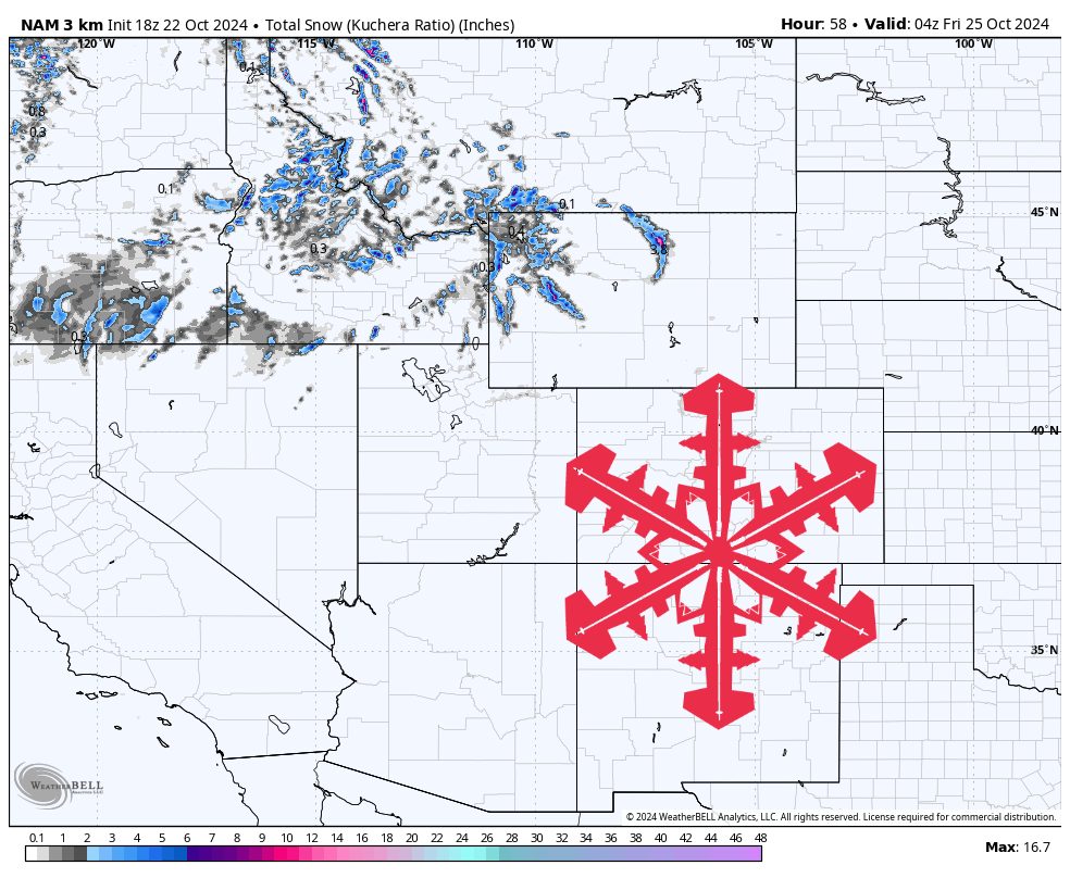
- A few inches of snow is expected to fall across the higher terrain of ID/MT/WY on Wednesday night and Thursday morning.
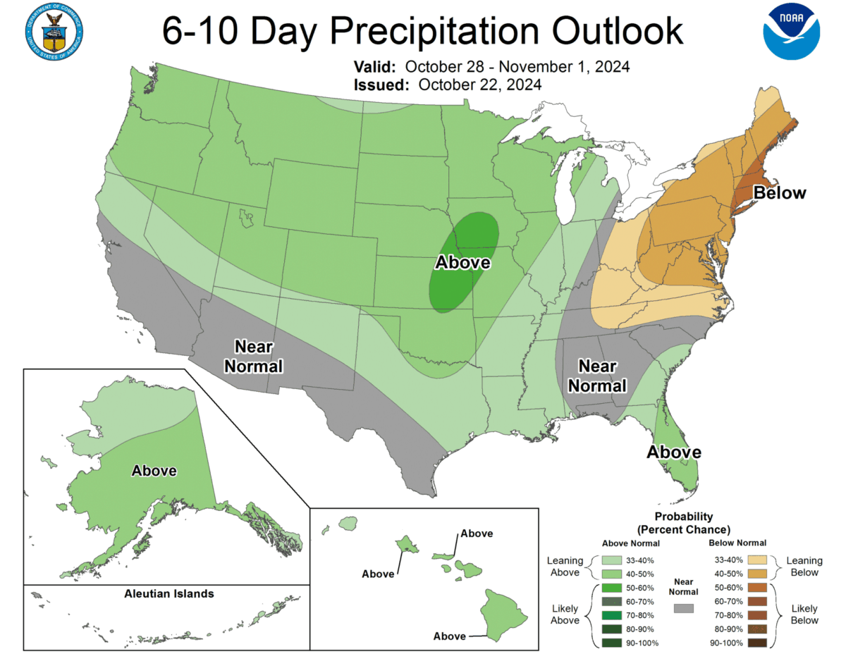
- The next few days are dry, but a stronger storm will hit the Northern Rockies from Sunday night to Tuesday morning.
Short-term Forecast (Wednesday night-Thursday morning)
A modest low-pressure system and associated cold front is moving onto the coast of Oregon Wednesday morning before moving quickly over Idaho and falling apart over Wyoming.
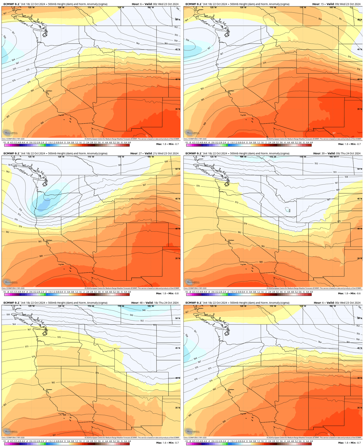
Snow showers will begin falling in Idaho on Wednesday evening, quickly moving over Montana and Western Wyoming by Thursday morning before fizzling out midday Thursday.
Northwest Wyoming is expected to see the highest snow totals, with a few inches expected across peaks above 9,000 feet. Snow levels fall to as low as 6,000 feet, but most areas won’t see measurable snow below 7,000 feet.
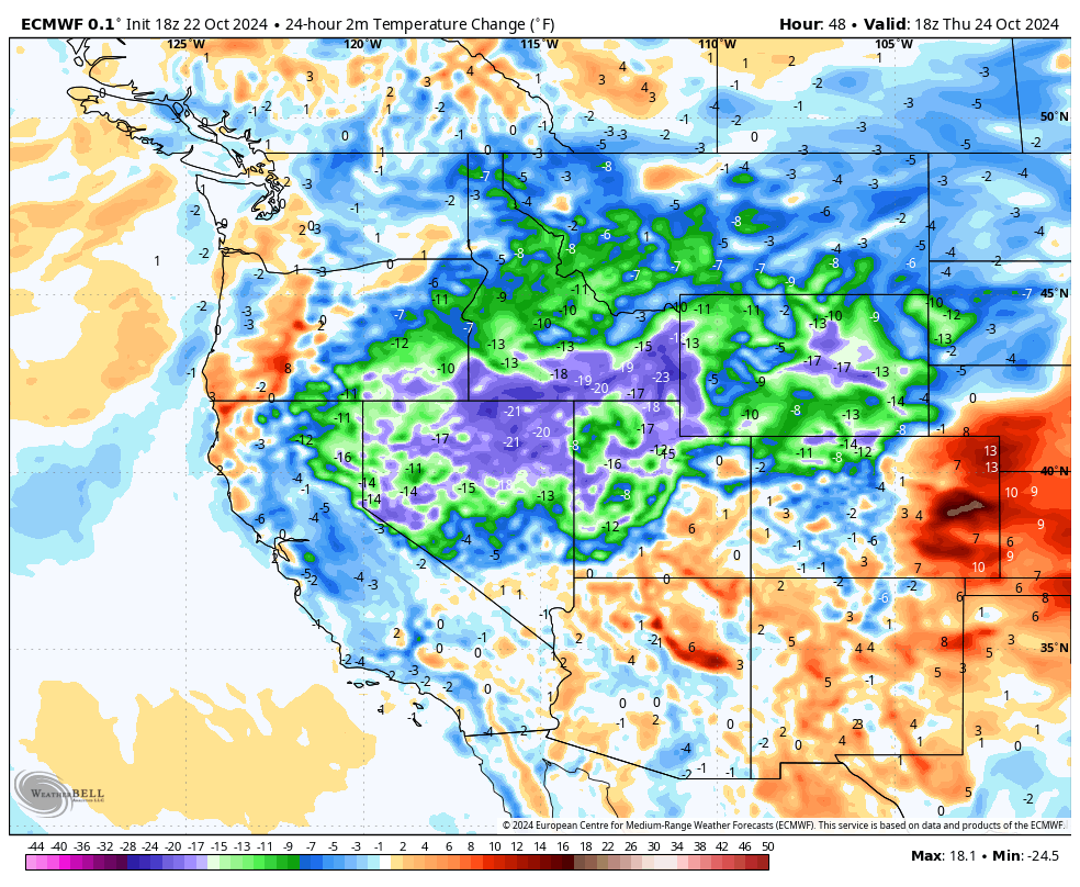
Temperatures will drop 10-20 degrees from Wednesday to Thursday across most of the Northern Rockies. Much of the region is currently 5-10 degrees above normal and will be ~10 degrees below normal on Thursday.
Extended Forecast
Once snow showers end on Thursday, the forecast will focus on a much more impressive system that begins impacting the region on Sunday night.
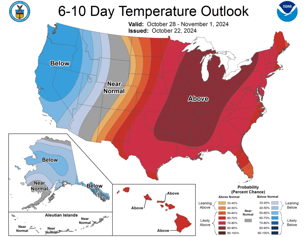
Two low-pressure systems are expected to combine and form a very deep trough on Sunday/Monday, with widespread snow and cold temperatures early next week both along and West of the Rockies.
