Summary
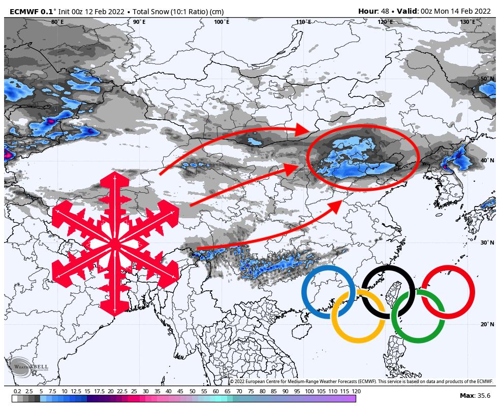
A rare winter storm will bring 4-6″ to the Beijing Olympics skiing and snowboarding venue this weekend. Temperatures will dip below 0 degrees Fahrenheit (-17.7C), making for chilly but refreshing skiing and riding conditions.
4-6 inches: what’s the big deal?
What makes this storm so impressive is the drought-like climate that the region typically experiences during this time of year. During meteorological winter (December-February), Beijing and the surrounding region receives an average of 0.4″ of precipitation. During this storm alone, most models are agreeing on around 0.3″ of precipitation in less than 24 hours. That’s 75% of the region’s average December-February precipitation in one day! Makes you wonder why they picked such a dry location to host the Olympics…
Sunday
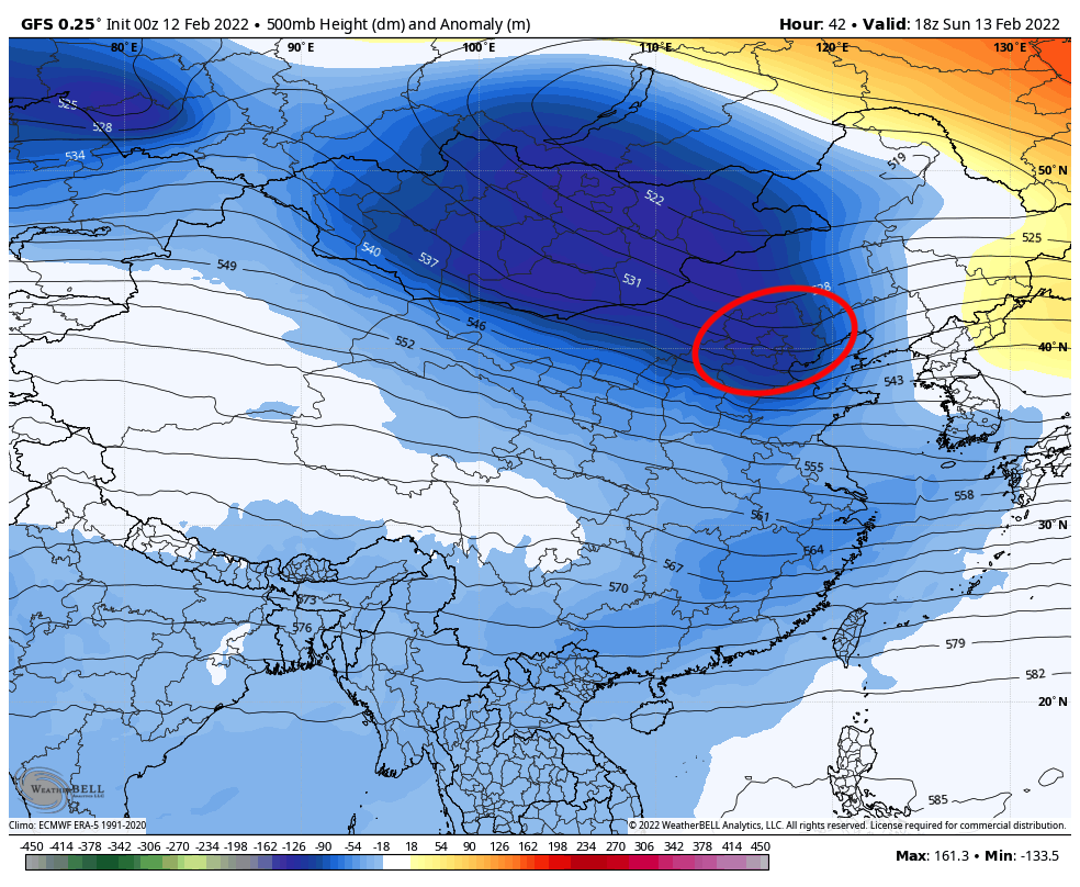
The storm system is a powerful low-pressure system digging in from Mongolia directly to the north. It is bringing with it an abnormally large amount of moisture, roughly twice as much atmospheric moisture as is typical for this time of year.

The precipitation will ramp up in the early hours of Sunday, February 13. The heaviest precipitation rates should be achieved at around 9 am local time before beginning to taper off throughout the day. By midnight or so on Monday, the snow should be completely done and the sky should be mostly clear by the time events resume on Monday morning! Bluebird powder day, anyone?

In all, the Olympic venue should clock between 4 and 6 inches. The “bust” potential is bigger than the “boom” potential, so don’t be surprised if final totals end up in the 3-4 inch range, instead. At the very least, this storm should help reset the snow surface for the Olympic athletes – likely a welcome change from the scratchy manmade snow that they’ve been skiing on so far!