Forecast by SnowBrains forecaster Clay Malott – 1/4/23 at 11 am PST
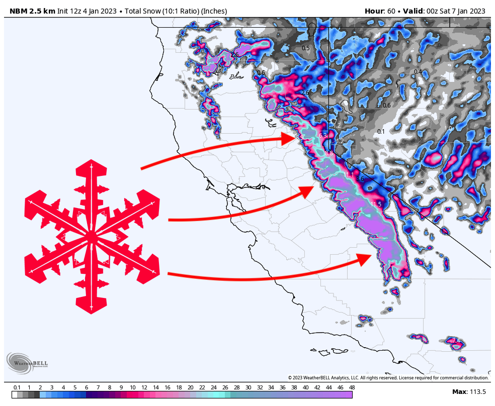
A significant system will impact California this week, bringing feet of snow to the Sierra Nevada. The storm will rage from Wednesday through Friday morning and dump 1-3 FEET at local resorts. Mammoth, Kirkwood, and West Shore Tahoe resorts are the best resorts for catching good powder.
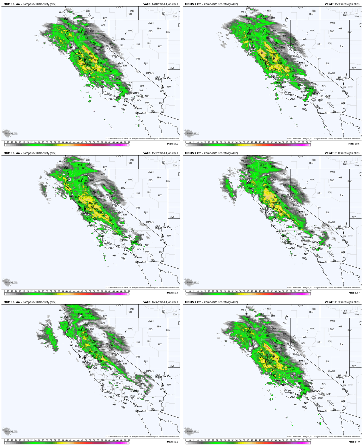
The first wave of precipitation is already making its way into California, as seen by the current radar imagery below. Most of the precipitation has remained along the coast and interior California, but flakes have begun to fall at resorts in the Sierra:

The first wave of precipitation will be pretty short, dropping snow for only a few hours during the ski day on Wednesday. By the time the lifts stop spinning on Wednesday, most resorts will have picked up between 2-5″.
The main surge of moisture arrives in the mountains overnight between Wednesday and Thursday. By Thursday morning, most resorts in the Tahoe basin will have picked up 13-22″, with the highest totals likely found at Sugar Bowl, Palisades Tahoe, and Kirkwood. Mammoth will be even more favored for higher totals due to its higher elevation and, thus, higher snow-to-liquid ratios. Mammoth could go for 25-35″ overnight by Thursday morning, so conditions could be legendary by then.
Keep in mind that the snow that falls at resorts, especially in Tahoe, will be pretty dense with ratios of about 10:1. This is lighter than the snow that fell during the last storm, but it won’t be light, blower powder by any means.
There will be a slight lull in the precipitation on Thursday morning, but it will pick back up again in the early afternoon. By the end of the ski day on Thursday, most Tahoe resorts on the West Shore and Kirkwood should pick up 5-10″, East Lake resorts 2-4″, and Mammoth 8-12″.
Precipitation will wind down on Thursday night and be completely done by Friday morning. Resorts can expect another 2-6″ by Friday morning, keeping conditions fresh for the weekend.

The next few weeks will be very wet and stormy, bringing multiple more systems and dozens of feet of snow to the Sierra! A series of storms will arrive on Saturday morning and rage through at least Wednesday. Check out the precipitation anomaly forecast from the European ensemble over the next two weeks. In the mountains, each inch here is ~10-12 inches of snow above average:
