Forecast published 10/31/2024 at 8 p.m. MDT
Forecast Summary
- A trough digs down across the Rockies on Saturday, bringing widespread rain/snow, and dropping temperatures down well below normal.
- Several inches of snow are expected this weekend across the higher peaks of ID/MT/WY.
- A second storm moves in immediately behind the first, allowing snow to continue and keeping temperatures well below normal through the first half of next week.
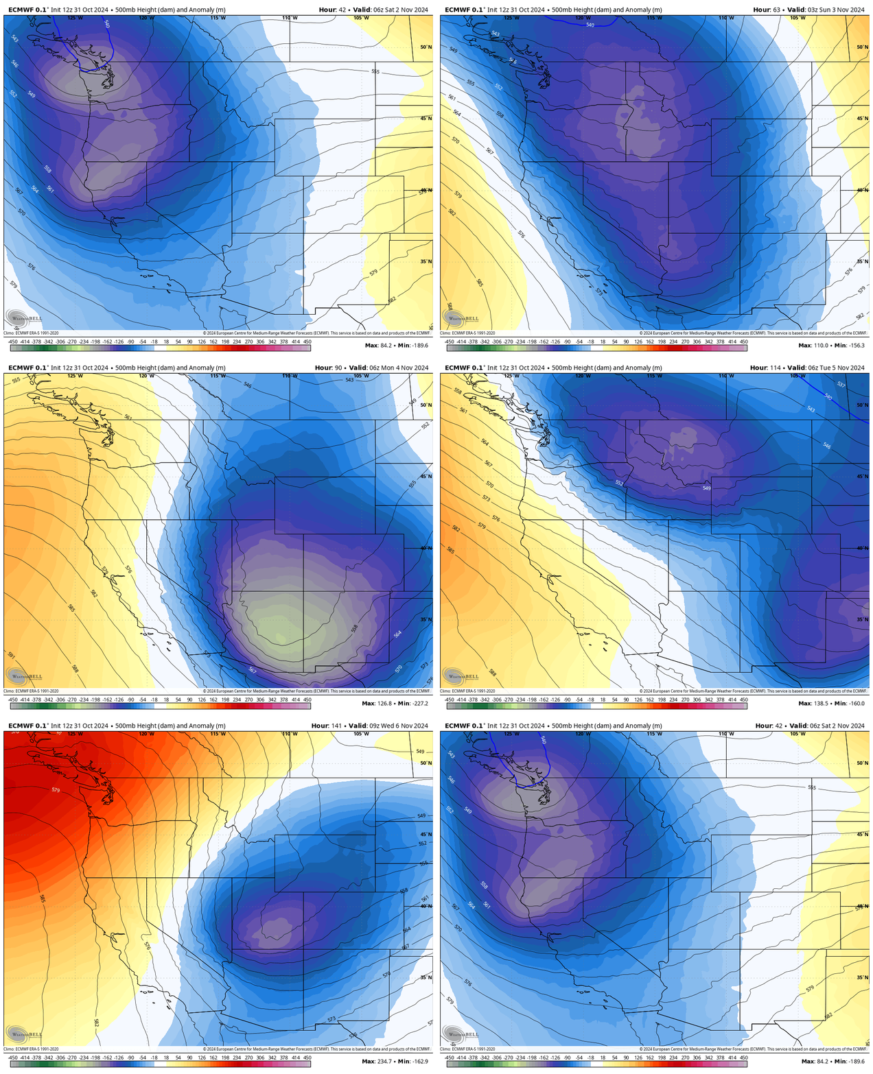
A pair of low pressure systems are currently combining over the Pacific Northwest, forming a trough that will drop down over the Four Corners area by Sunday. The leading edge of this trough will act as a cold front, which is expected to move over Eastern Idaho/Western Montana Saturday afternoon, and Northwest Wyoming Saturday night.
Rain and snow showers will begin falling several hours before the arrival of the cold front. Snow levels will start out around 6,500 feet, gradually falling to as low as 3-4,000 feet overnight.
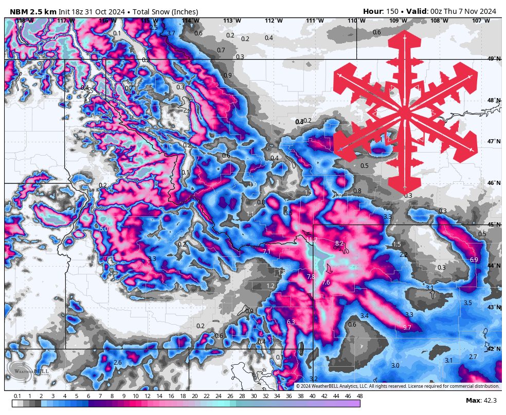
This first storm is expected to produce a few inches of snow across terrain above 8,000 feet or so, with around 6-10 inches expected on the higher peaks, before it moves off Sunday night.
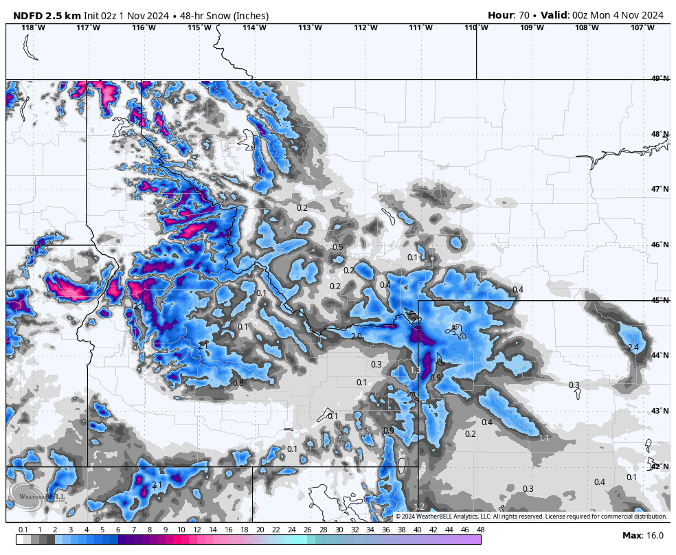
NWS forecast snow totals through Sunday evening. Source: maps.weatherbell.com
There is only a very brief lull in the action Monday morning before the second storm produces another cold front that sweeps down over the Northern Rockies Monday PM and into early Tuesday AM. Precipitation, mostly in the form of snow, begins falling Monday evening, and continues until Tuesday night/Wednesday morning.
Although this may appear to be a smaller storm than the first, and in some ways it is, it will likely produce more snow due to colder temperatures already being in place from that first storm. Colder temperatures allow for higher snow-liquid ratios, meaning that more snow can be produced out of the same amount of precipitation. Temperatures will be very cold for early November, with freezing temperatures expected in the mountains from Saturday through Wednesday.
Forecast Snow Totals (SAT-WED):
- Tamarack (ID): 16-24 inches
- Bogus Basin (ID): 3-6 inches
- Sun Valley (ID): 2-5 inches
- Big Sky (MT): 5-10 inches
- Bridger Bowl (MT): 8-14 inches
- Whitefish (MT): 8-16 inches
- Jackson Hole (WY): 14-24 inches
- Grand Targhee (WY): 18-30 inches
Extended Forecast
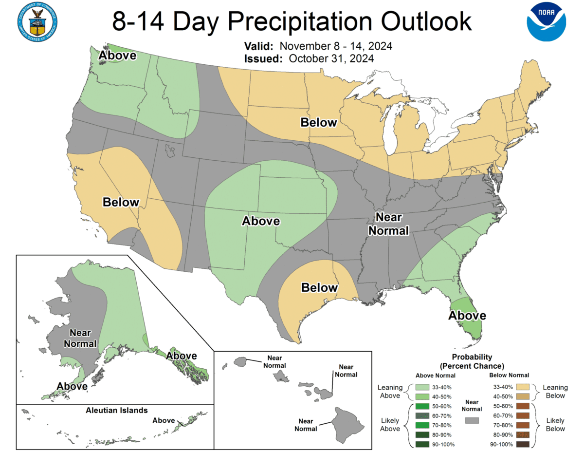
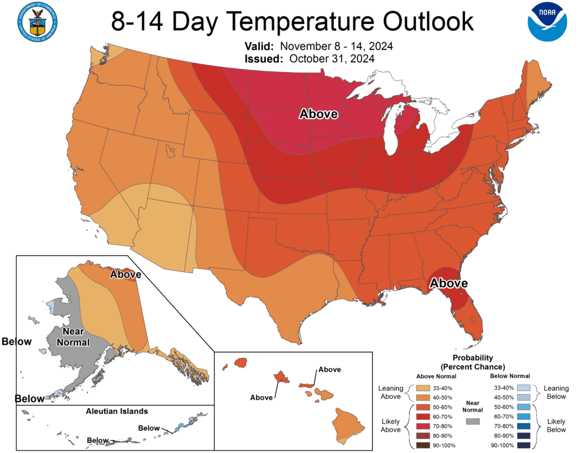
A quieter period is expected to follow these two storms. However, some weaker storms are showing up in models next weekend and into the following work week. The main takeaway is that the pattern over the next couple of weeks looks about normal for this time of year.
