Forecast Prepared Wednesday, February 14th, around 12:00 PST
Summary
There are three storms to watch this week for California skiers & riders. The first arrives this evening/tonight (Wednesday night), with additional chances for snow coming this weekend and again Monday-Thursday of next week.
The best days for riding look to be Thursday, Sunday, and Tuesday-Thursday of next week.
Short Term
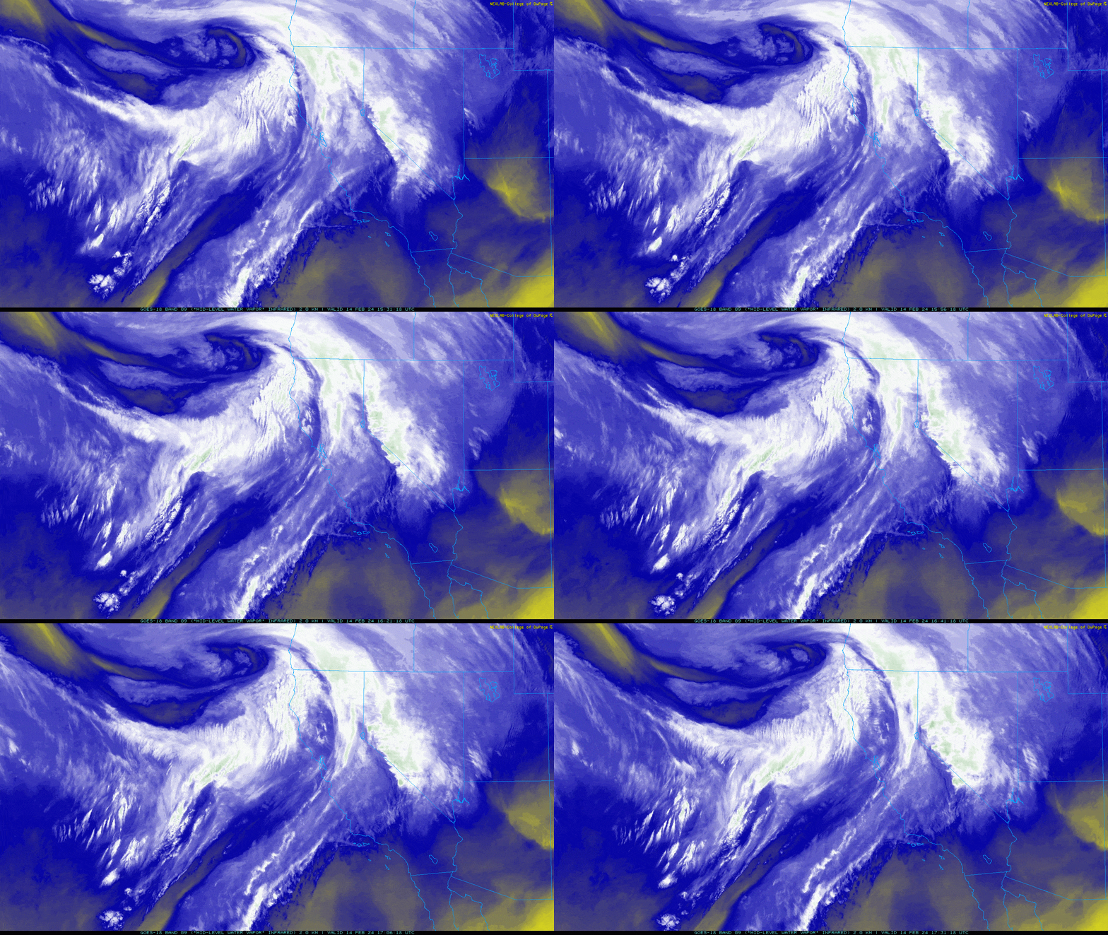
Storm #1 is on our doorstep. Water vapor imagery shows a nice swirl approaching the CA/OR coast as of Wednesday morning:

This is the feature responsible for expected snowfall tonight into Thursday morning. A few snow showers arrive during the daytime, but the heaviest looks to arrive in the Tahoe area around the time lifts spin their last laps of the afternoon, making it south to the Mammoth area around midnight.
The bulk of the snow ends before resorts open, putting a premium on that first chair on Thursday morning.
While not an incredibly cold system, snow levels should be around 5500-6000′ for most of the event (closer to 6500′ around Mammoth). Winds will be strong overnight to the point that there will be some effect on the snow quality – gusts to 70-80 MPH are expected along the Sierra Crest. Conveniently, the worst of these should be done before resorts get running in the morning, limiting the impact on lift operations.
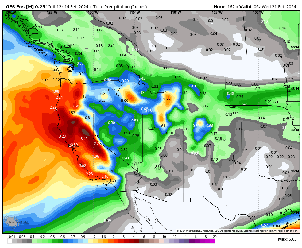
Thursday morning should ride nicely. Here are some semi-crude storm total snow forecasts for the area by 10AM Thursday:
- Winners of this storm – Kirkwood, Sugar Bowl, Palisades: 14-18″
- Donner Pass Resorts: Generally 10-16″
- Most Tahoe Resorts: 8-14″
- Mammoth: 5-9″
- Snow at lake elevation (Tahoe): 5-9″
Extended Forecast
There are two additional systems to watch in the week ahead.
The first looks to bring another wave of moisture onshore & into the mountains Saturday evening into Sunday morning.
We’re a handful of days out still, so I won’t get too nitty gritty in this update. Still, confidence in decent accumulations is fairly high. Something along the lines of 7-14″ around Tahoe and a bit less down near Mammoth, closer to 4-9″, seems a well-reasoned forecast for now. Snow levels probably creep up a touch above lake level during this event, so expect some heft or ‘body’ in the new snow.
This’ll be another storm to chase the first chair, though snow conditions will be great all day on Sunday.
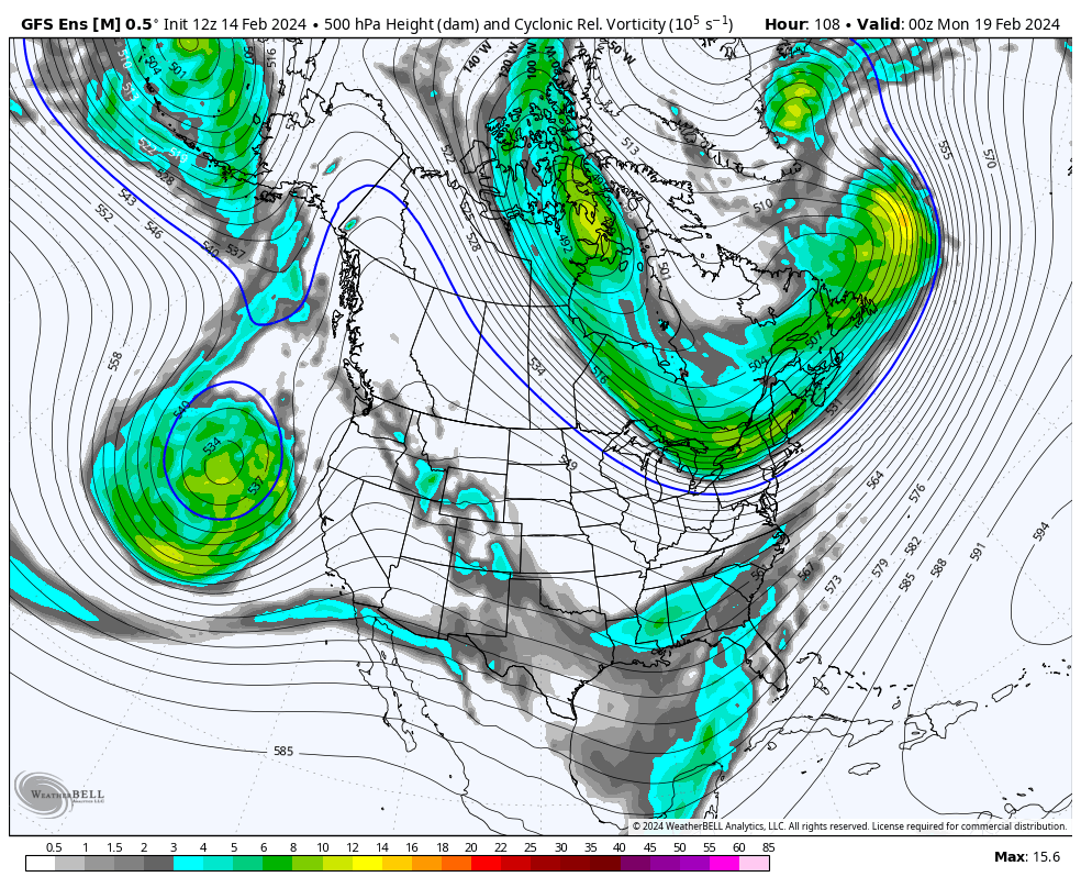
As we head into next week, chances for snow will stick around. A big, slow moving closed low is forecast to develop just upstream of the California coast by Sunday night: 
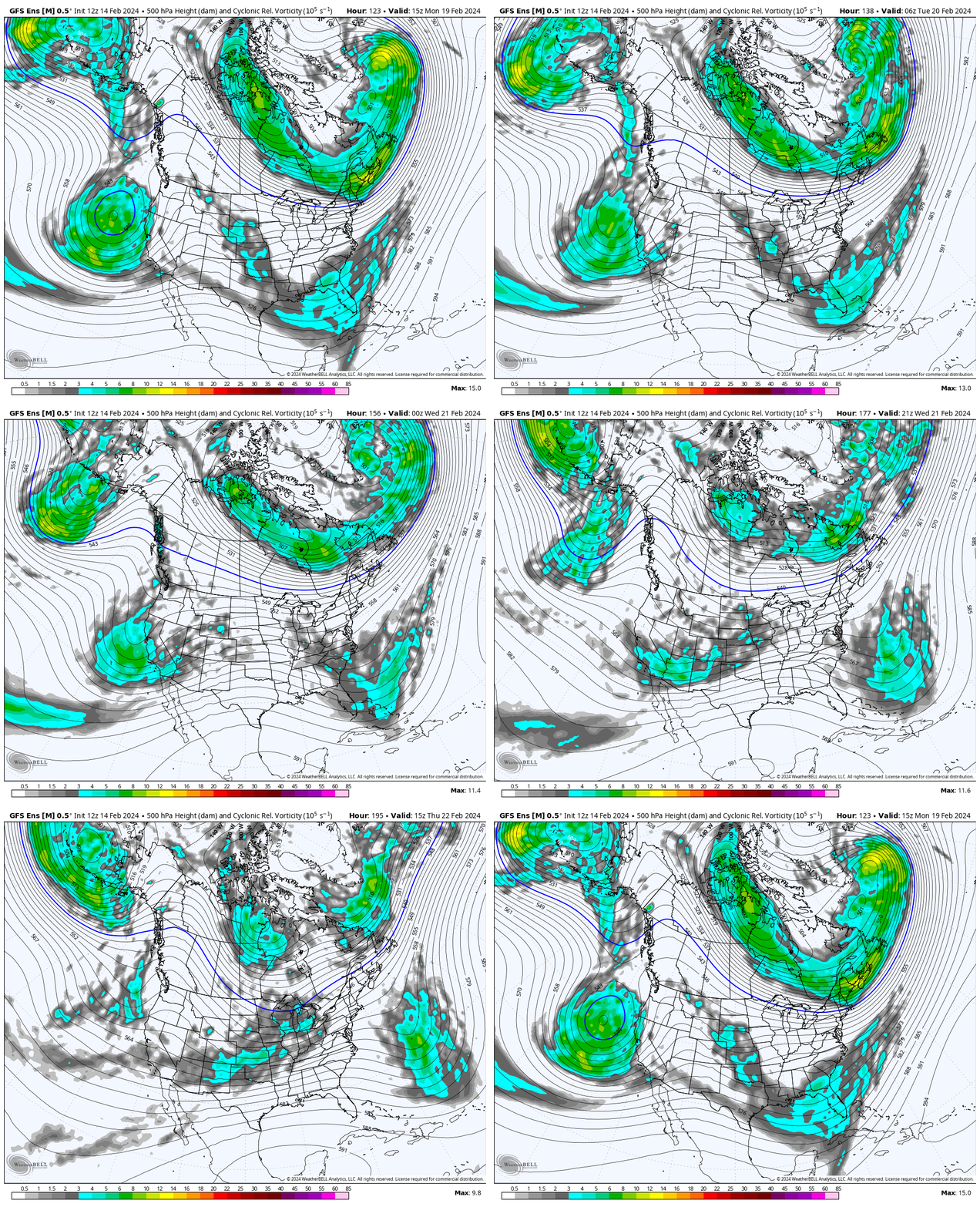
Weather models tend to struggle a bit with these patterns, so I will keep the outlook for next week especially vague. In any case, this big low will fire off waves of snow into the Sierra Nevada through the week. Eventually, the whole thing will drift inland:

This is a good look for a big dump across the Sierra. I’m not sure when/where the best snow will be quite yet, but it might be worth keeping Monday-Wednesday of next week free to chase the snow.
The CPC seems to agree, going big with the dark green colors in the graphic below in their 6-10 day outlook (Monday-Thursday of next week).
Happy shredding!
