The forecast was completed at 10 a.m. EST on Thursday, November 21.
Forecast Summary
It’s been a mild autumn with only infrequent rain and mountain snow in the Northeast. Most of the region is experiencing drought conditions.
Luckily, cooler & wetter conditions move into the region Thursday morning and last through the weekend.
Accumulating snow is expected for many ski areas, including the few resorts spinning lifts this weekend.
Short Term Forecast
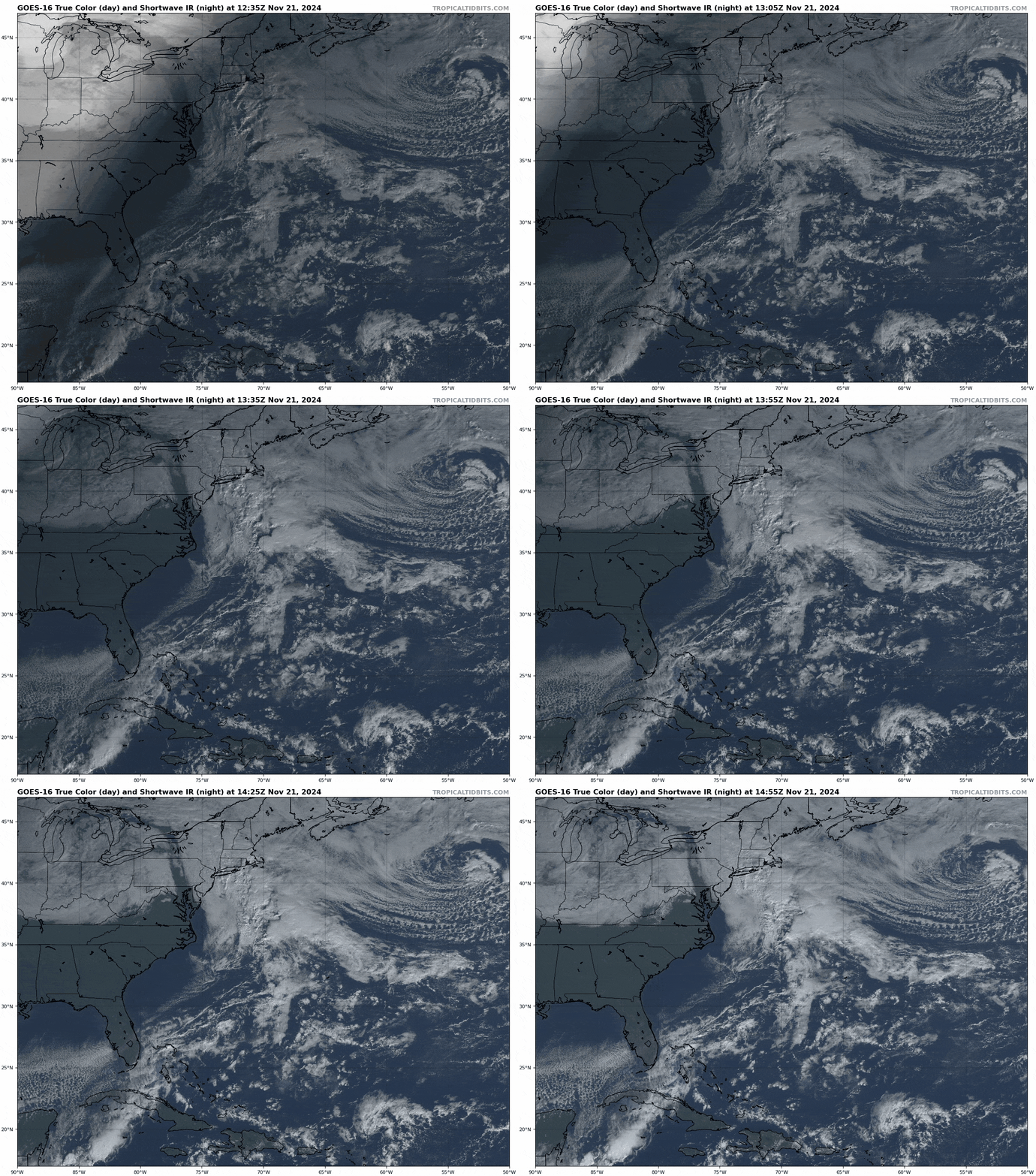
Thursday morning’s sunrise revealed a powerful weather system spinning over the Great Lakes. This will be our big weather maker over the next couple of days:

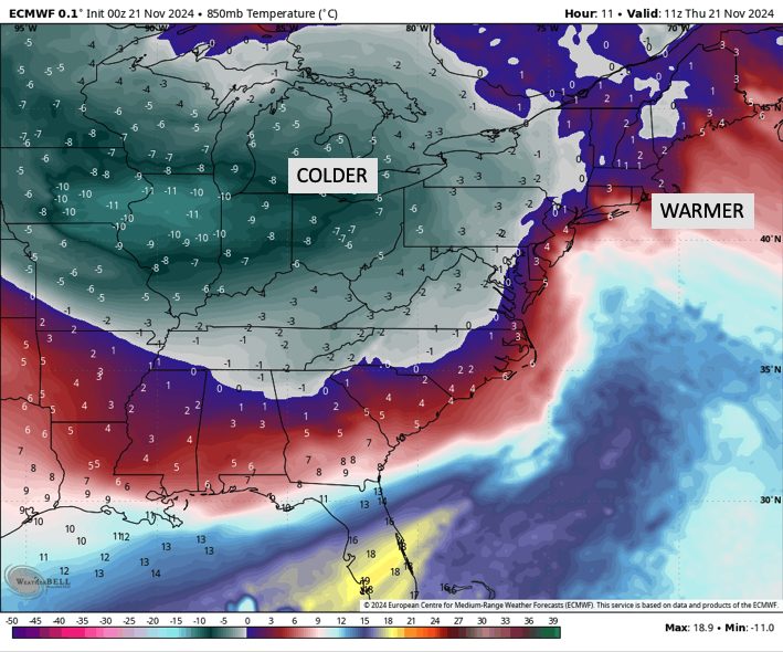
Rain is already falling in parts of NY. There isn’t much snow, though, as all the cold air remains off to the west:

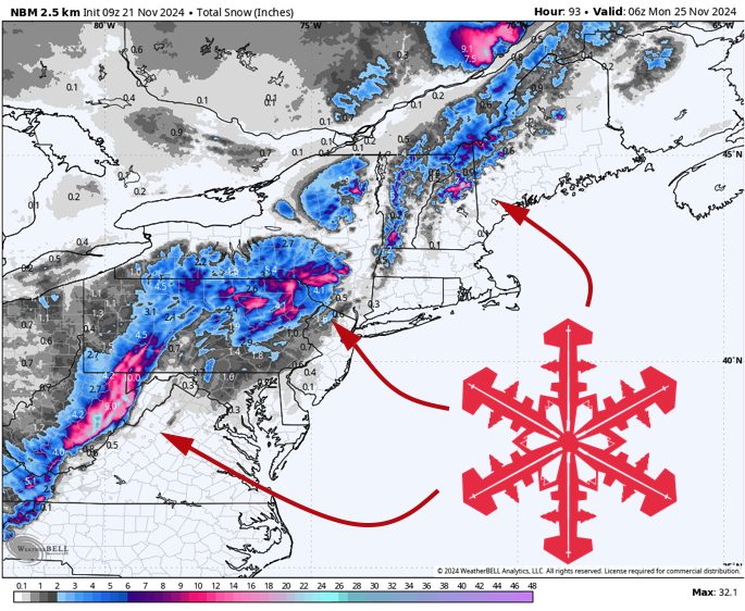
Things will begin to change by Thursday afternoon. Low pressure will develop around the Tri-State Area through the evening & overnight. In response, areas of heavy precipitation will develop.
This will primarily impact Pennsylvania and southern New York on Thursday night and Friday before the focus shifts northward into New England on Saturday and Sunday.
Chilly northwest winds will be felt across the Northeast on Sunday as the main system exits the area to the east. While areas south of Albany and Boston should be dry on Sunday, mountain snow shower activity will linger into the day farther north.
As far as I’m aware, only three East Coast resorts will be spinning lifts this weekend, so I broke down my expectations a little more specifically for each of them:
- Killington: Rain/snow continues Thursday night. Expect no accumulation near the base, but a wet 2-5″ is possible near the top. Mostly dry on Friday, periods of snow on Saturday and Sunday produce another 1-2″.
- Whiteface: Rain/snow continues Thursday night. Snow levels are similar to Killington, falling to ~2,000′ under the heaviest bursts. <5″ near the summit, nothing at the base. Mostly dry Friday & Saturday. Snow showers Sunday morning, maybe another 1″.
- Sunday River: Precip begins as mostly rain sometime Thursday evening. Some mixing with snow is likely, unconfident which will prevail. Probably no accumulation overnight. After a lull Friday afternoon, more rain/snow arrives Friday night. There is some flipping from rain/snow, with 1-3″ possible near the peak. Eventually, snow showers Saturday night – Sunday morning with 1-3″ of snow.
Notable others:
- Pocono Mountains, PA: 5-11″ by Friday AM.
- Catskill Mountains, NY: 7-15″ by Friday AM.
- High terrain in WV (including Snowshoe ski area): 7-15″ by Saturday AM.
Extended Forecast
Another system moves through early next week, but it looks like it is mostly rain.
Forecast models agree that a much colder pattern will take over as December begins. The first real cold air outbreak of the winter is on its way, with a prolonged period of chilly NW winds across the Northeast. This is fantastic news for snowmaking as the season gets truly underway.
