Forecast Published 9:00 p.m. MDT 11/11/2024
Forecast Summary
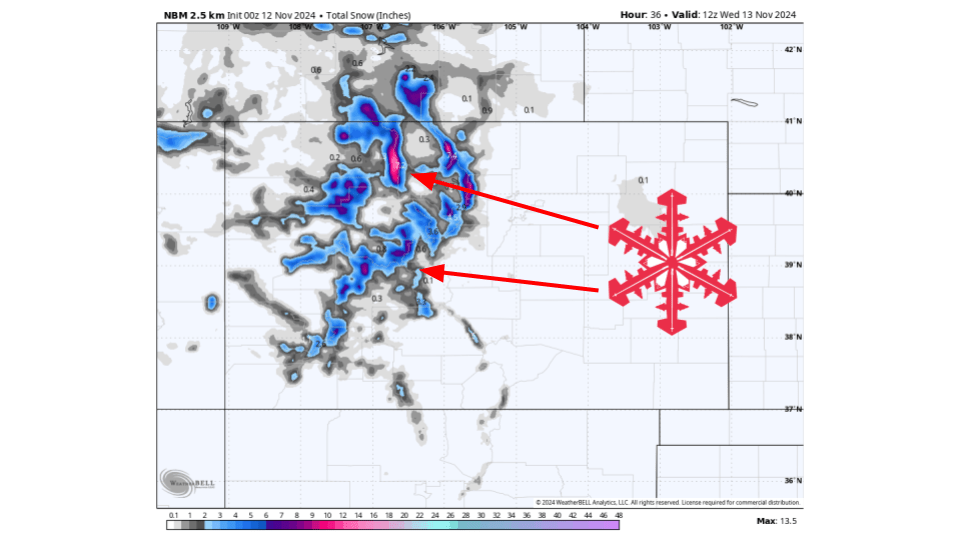
A quick-hitting system will move through Colorado and bring a blast of snow Tuesday afternoon and Tuesday night. Snowfall totals will overall be light with 2-8″ expected for most resorts as this storm will pass through the region fairly fast and will lack moisture. Northern portions of the state will see the best chances for higher amounts.
Short Term
(Now through Wednesday)
A trough currently digging into the western US will begin to split Monday night and into Tuesday. As it does so, it will quickly move to the east through Colorado and then into the plains by Wednesday. Snow will start during the day Tuesday and continue through the night before tapering off by early Wednesday morning. This system will lack moisture so most snow will come from unstable atmospheric conditions in Northwest flow. This will generally favor north to south mountain ranges in the northern part of the state.
Notable Resort Storm Totals Through Saturday:
- Steamboat: 4-10 inches
- Beaver Creek: 2-6 inches
- Crested Butte: 2-6 inches
- Silverton: 2-6 inches
- Snowmass: 2-6 inches
- Vail: 2-6 inches
- Winter Park: 2-6 inches
Long-Term
(Thursday and Beyond)
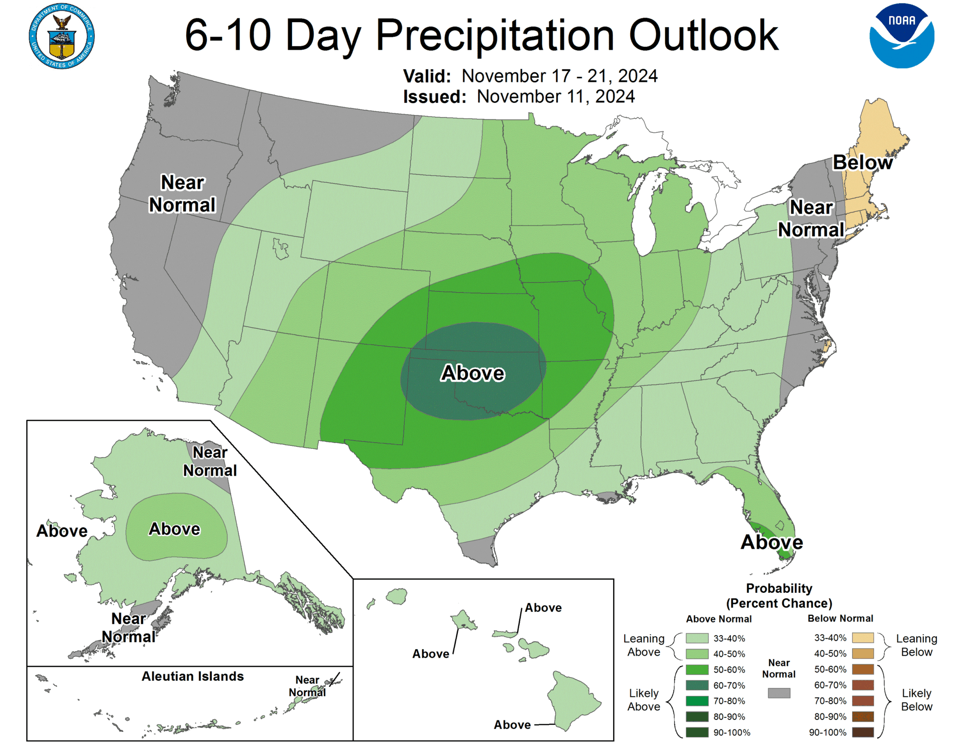
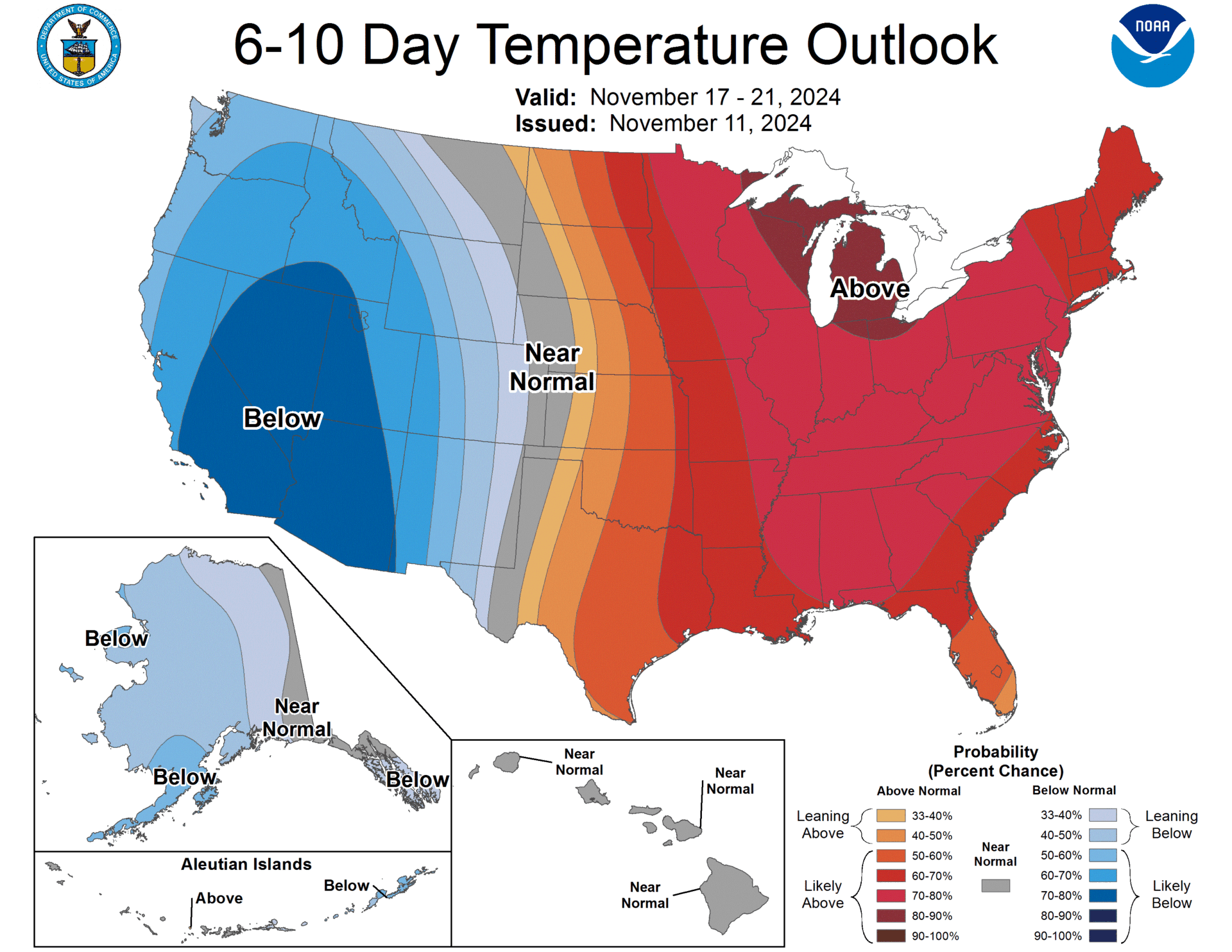
Dry weather will persist the remainder of the week and into the weekend as high pressure builds over the region. By Sunday/Monday, another system appears to move into the region. Depending on how this sets up, there could be another situation that develops, similar to this past week. However, this is still pretty far out and things could change so we will make sure to keep an eye on how this develops.

