Forecast completed at 4 a.m. PT on Thanksgiving Day, Thursday, November 28
Summary
Last week’s storm brought some accumulations to the higher mountain summits, but base areas saw only rain.
Another storm moves through on Thanksgiving, bringing snow to resort bases across New York, Vermont, New Hampshire, and Maine.
The long-range forecast is very promising. A cold and unsettled pattern is expected to last into the beginning of December.
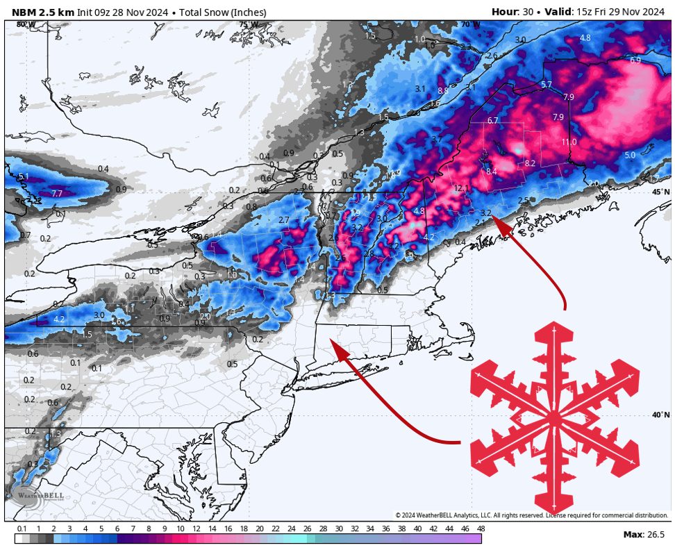
Thanksgiving Day Storm
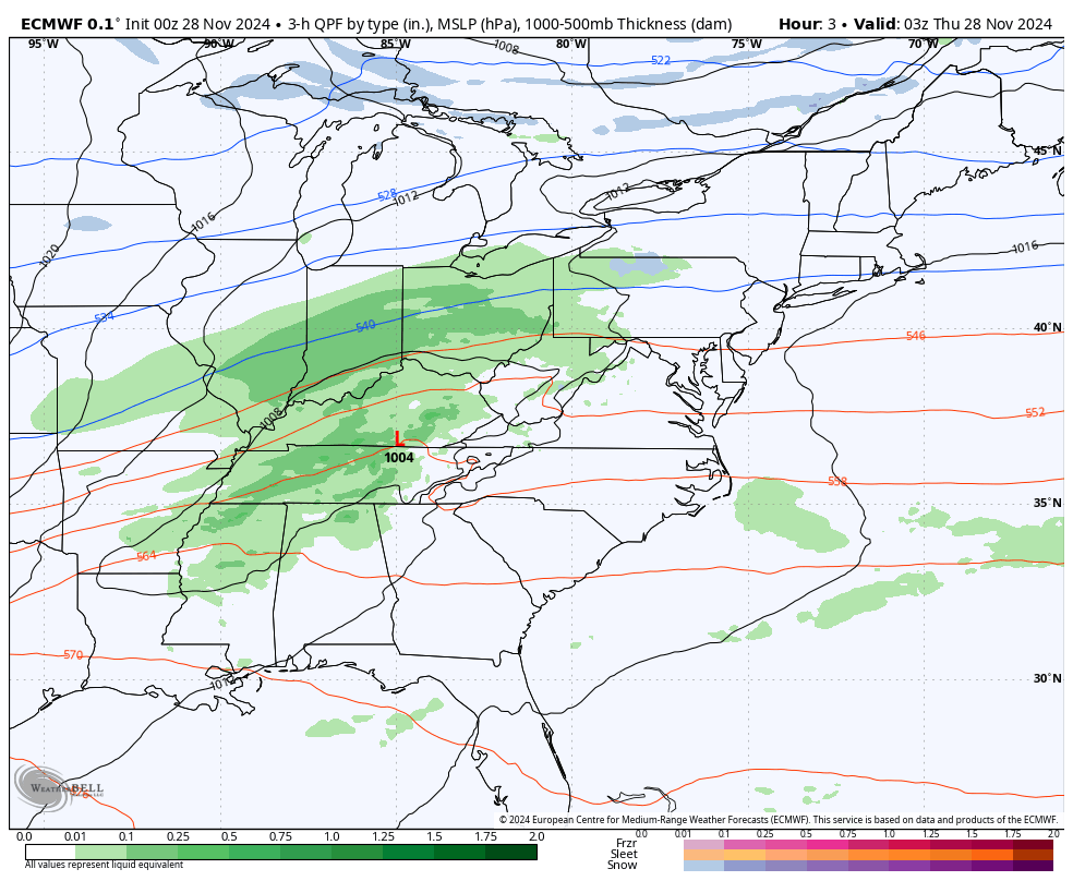
Rain and snow are already falling over the Mid-Atlantic and southern half of the Northeast. As a low-pressure system comes together somewhere near NYC, these will move into New England through Thanksgiving Day.
The center of the low is expected to move northeastward, almost parallel to the Atlantic Coast. This is favorable news because it leaves all Northeast ski areas on the cold side of the storm. Such a track is one reason we’ll see lower snow levels with this storm. Forecast models are in good agreement in a track looking something this:
8-12 hours of steady, heavy snowfall is likely north and east of the low center’s track before the storm moves out of the area by Thursday evening. Snow levels will vary a bit based on location, but generally, all precipitation should fall as snow above ~1,500 feet.
There isn’t a ton of open lift-served skiing in the region yet, but this storm will go a long way to help change that. Here’s what I expect to see for total accumulations at the few resorts that will be spinning lifts this holiday weekend:
- Sunday River: 8-12″
- Killington: 8-12″
- Sugarloaf: 7-11″
- Bretton Woods (only has one trail open currently): 7-11″
- Sugarloaf: 7-11″
- Whiteface: 4-6″
Notable Others:
- Catskill Mtns: 2-9″, accumulations vary significantly with elevation.
- Presidential Range, NH: 9-15″
Long Range Forecast
Colder air will move into New England after Thanksgiving’s snowstorm. Flurries will linger through the holiday weekend, occasionally freshening ski conditions.
Forecast models suggest a favorable pattern change is underway. A ridge is developing over the Western US, and troughing looks to stay over the east through the first week of December:
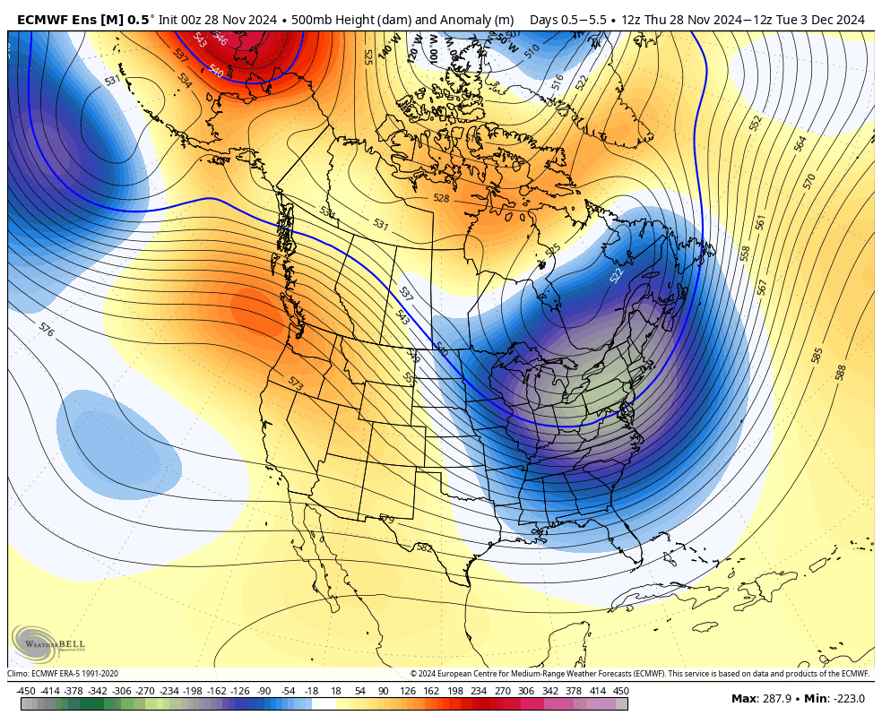
This will mean sharply colder conditions and a great window for snowmaking crews to prepare more terrain.
Frequent disturbances rotating through the larger trough will keep chances for snowfall in the forecast, most notably about a week from today (~December 5.)