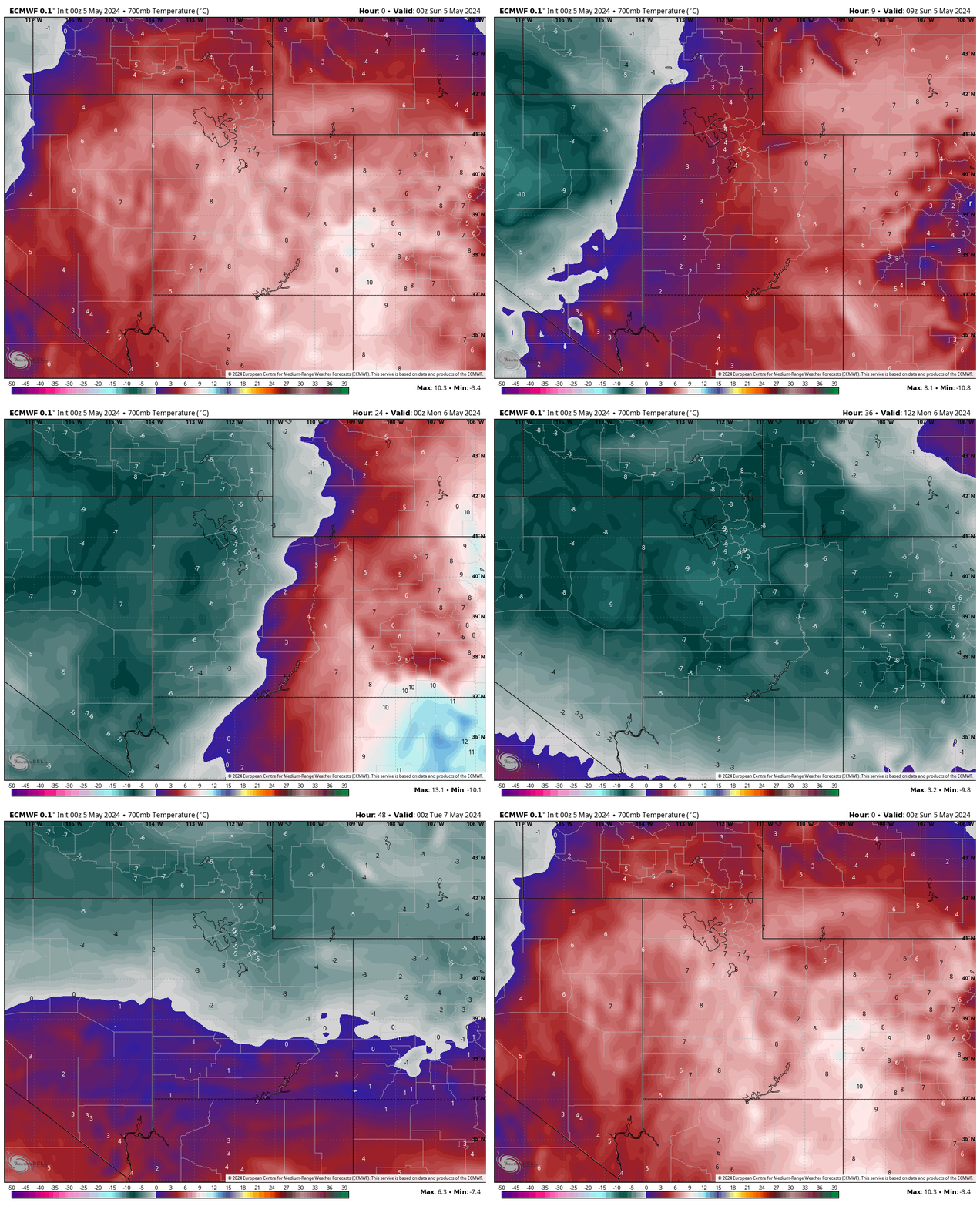
Widespread mountain snow over the next few days. Source: maps.weatherbell.com
Forecast Summary
Forecast written on Sunday, May 5, 2024, at 1 a.m. MST
It won’t feel like spring in Utah for the next few days as a very unseasonably cold airmass moves in.
Temperatures start out near normal during the early hours of Sunday morning, but they will drop sharply around sunrise when a cold front sweeps across the state from west to east.

Winds will be very strong ahead of the cold front, with gusts to 70+ mph expected in the western desert of the state and gusts to 50+ mph expected in the mountains.
Source: maps.weatherbell.com
Steady rain and snow begin just after sunrise Sunday morning, with snow levels starting close to 8,000′. When the coldest air settles in, snow levels will drop to as low as ~4,000′ by Sunday night.
While the main front is on Sunday, several more disturbances will impact the state through Wednesday, causing snowfall rates to increase at times. It looks like Sunday afternoon, Monday morning, and Tuesday morning will see the heaviest snow.
Despite many resorts closing in April, there are still 3 major resorts open in the Cottonwoods: Solitude, Brighton, and Snowbird. Each can expect similar snow totals, with 18-30″ looking like a good bet through Wednesday.
Extended Forecast
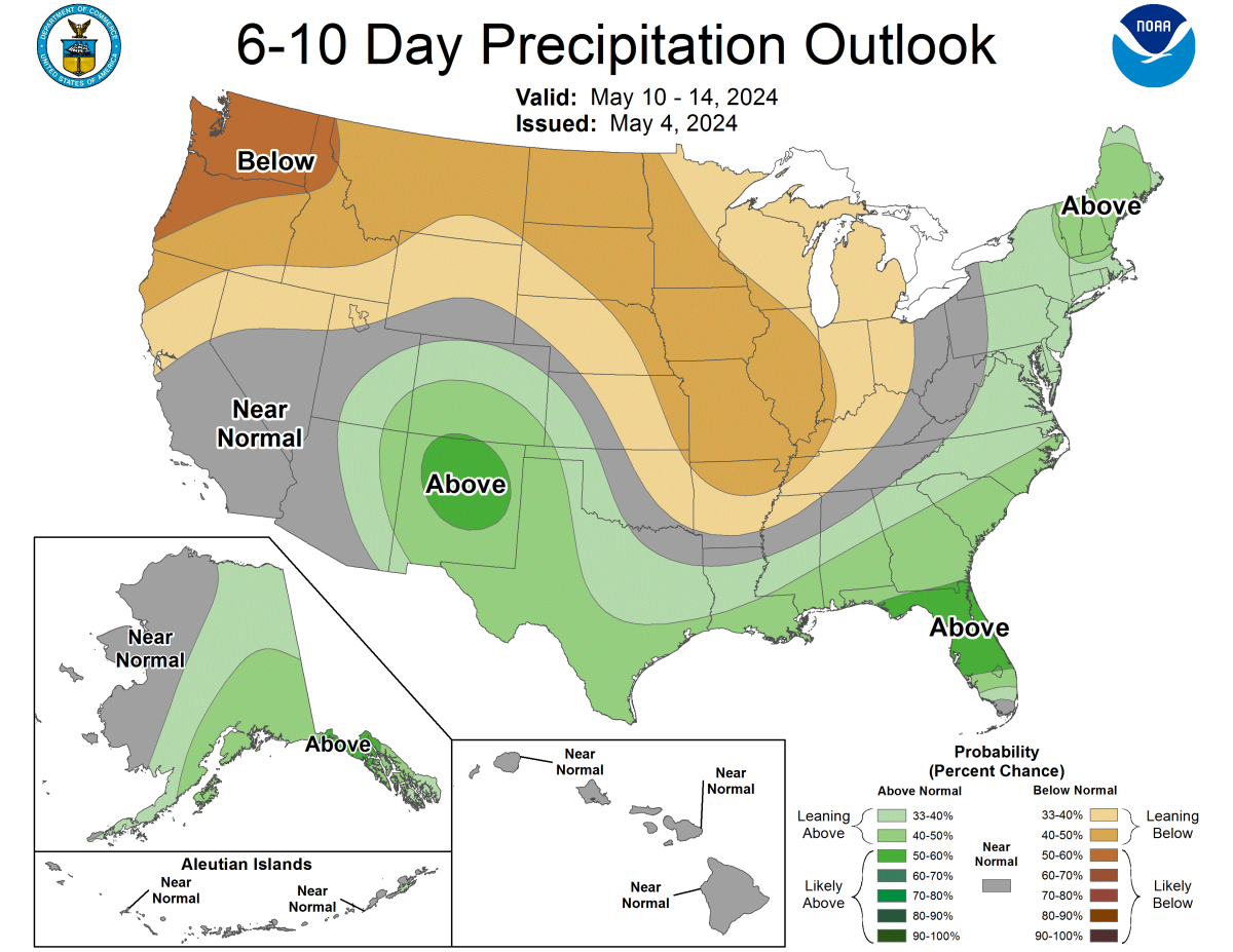
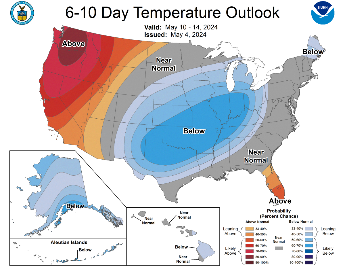
Temperatures in Utah slowly start creeping back up after Wednesday as a ridge of high pressure settles in over the Pacific NW. Expect some spotty afternoon showers/storms next week, but nothing that should disrupt the resorts too much. Take advantage of this latest storm in what was another great ski season in Utah!

Source: https://www.cpc.ncep.noaa.gov/products/predictions/610day/

